
3D Laser Scanning Services in Saudi Arabia
Accurate 3D point clouds of buildings, plants and structures for as-built records, design and BIM.
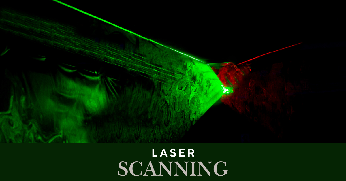
Renovations, plant upgrades and design checks all depend on knowing exactly what has been built. 3D laser scanning records buildings, structures and sites as millions of measured points, creating a complete digital record you can measure, model and revisit at any time. EarthScape Technologies provides 3D laser scanning across Saudi Arabia (KSA), including Riyadh, Jeddah, Dammam, Makkah and Madinah, from our office in Riyadh.
What Is 3D Laser Scanning?
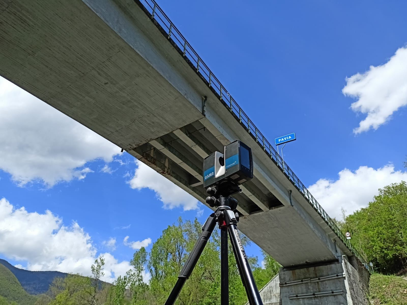
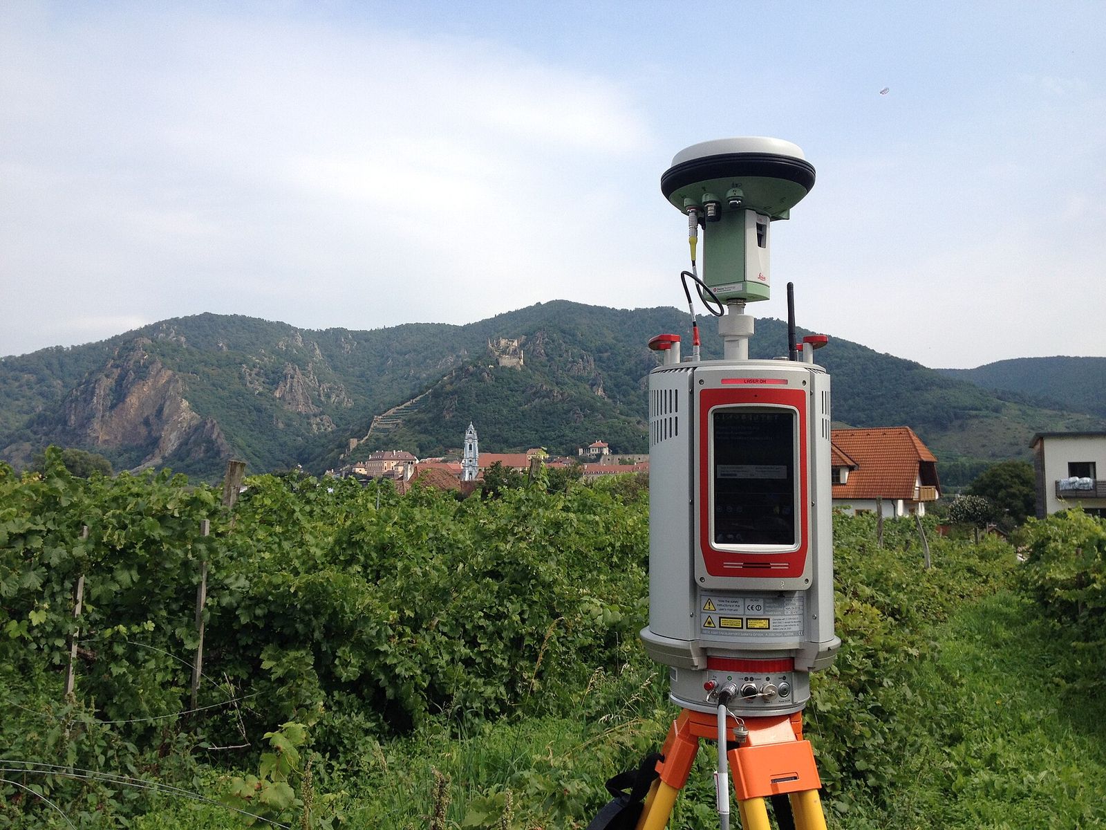
A terrestrial laser scanner sends out laser pulses and measures the distance and direction to every surface it hits, while rotating to capture a full scene. Each scan produces a dense point cloud, and many scanners also capture colour images to give the points realistic colour. Scans are taken from several positions to see around objects, then registered together into a single, consistent point cloud. Tying the scans to survey control measured with robotic total stations or GNSS places the point cloud on your project coordinate system.
Our Method and Equipment
When Do You Need 3D Laser Scanning?
- As-built documentation of buildings, facilities and industrial plants
- Renovation, refurbishment and extension design
- Scan-to-CAD and scan-to-BIM modelling of existing structures
- Clash checking new designs against existing steelwork, pipework and services
- Facade, road, tunnel and bridge surveys where access is limited
- Construction verification, deformation checks and digital records for handover
Combining Laser Scanning with Other Surveys
Large external areas can be mapped quickly with a drone survey, and site-wide levels and features with a topographic survey. Hidden elements such as rebar and embedded conduits can be located with GPR concrete scanning before cutting or coring.
Deliverables
- Registered, colourised point clouds in formats agreed with you
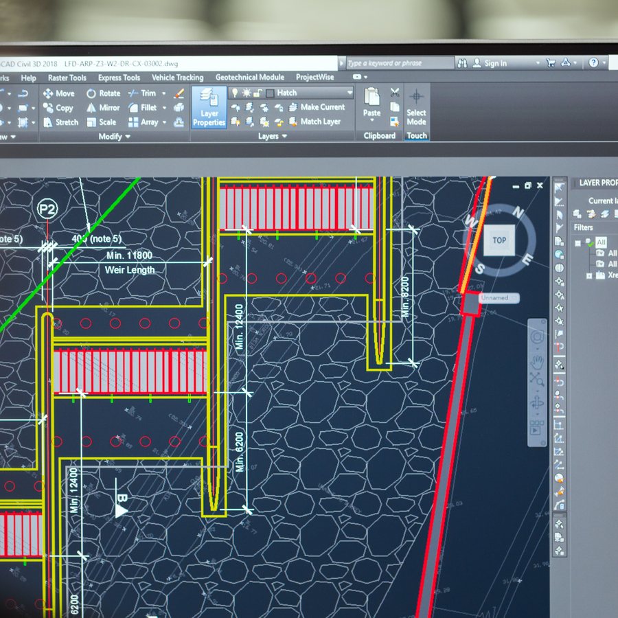
- 2D CAD drawings: floor plans, sections, elevations and site plans in AutoCAD
- Topographic and as-built drawings in Civil 3D
- 3D models for BIM Level 1/2 workflows, in formats agreed with your design team
- Registration and control reports
- Panoramic images and point cloud viewers for easy review
Accuracy and Quality
Laser scan accuracy depends on the scanner, range, surface type, number of scan positions and the quality of registration and control. Dark, shiny or transparent surfaces and heavily obstructed spaces can reduce data quality. We agree the required level of detail and accuracy at the start, and report registration and control checks with every project.
Benefits of 3D Laser Scanning
- Complete, measurable record captured in a short site visit
- Fewer return visits to site to check missing dimensions
- Safer measurement of areas that are hard or unsafe to reach
- A reliable base for design, clash checks and handover
Planning
We agree the area, level of detail and deliverables, then plan scan positions to cover the site with enough overlap and the right point density.
Control
Control points are established with robotic total stations, GNSS or digital levels where precise heights are required, so the point cloud fits your coordinate system and other survey data.
Scanning
Our surveyors capture scans and photographs while keeping disruption to your operations to a minimum.
Registration and Processing
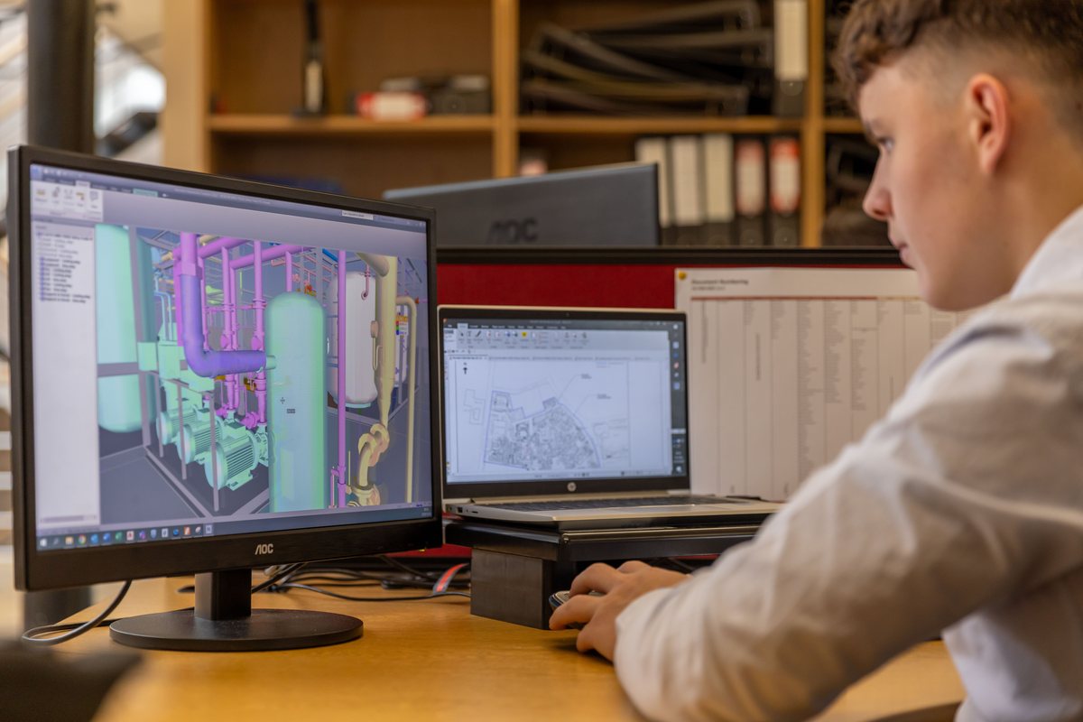
Our data analysts register the scans, check registration quality, remove noise and moving objects, and prepare the point cloud for your team or for our CAD and BIM modelling specialists.
One Team, Scan to BIM
Built to Your Standards
5+ Years, 100+ Projects
Nationwide, Riyadh-Based
Why Choose EarthScape?
Sectors We Serve
We support construction, energy, mining and environmental clients, including contractors, consultants, facility managers and industrial operators. Our team has worked on projects ranging from international airports to residential sites.
Frequently Asked Questions
What is a point cloud?
A point cloud is a set of millions of measured 3D points that together record the surfaces of a building, structure or site. It can be viewed, measured and used to create drawings and models.
Can you create CAD drawings and BIM models from the scan?
Yes. Our CAD and BIM team produces floor plans, sections, elevations and 3D models from the point cloud, to the standards agreed with you.
Will scanning disrupt our operations?
Scanning is fast and contact-free. We plan scan positions and timing with your site team to keep disruption to a minimum.
How accurate is 3D laser scanning?
Accuracy depends on the scanner, range, surfaces and registration. We agree the required accuracy before work starts and report registration and control checks.
Do you provide laser scanning outside Riyadh?
Yes. We provide 3D laser scanning across all regions of Saudi Arabia (KSA) from our Riyadh office.
Request a 3D Laser Scanning Quote
Tell us about your site, the scope and any drawings you have, and our team will reply with a proposal. We serve projects across Saudi Arabia (KSA) from our office in Riyadh.
- Phone: +966 55 679 8661
- Phone: +966 53 875 9468
- Phone: +966 58 288 4362
- Email: info@earthscapesurvey.com