
Drone (UAV) Survey and Mapping in Saudi Arabia
UAV mapping for orthophotos, contours, surface models and stockpile volumes across Saudi Arabia.
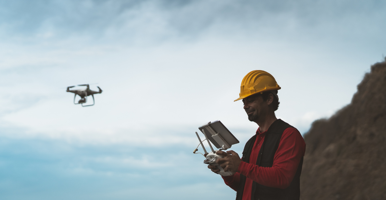
Large sites, long corridors and active quarries can take days to survey on foot. A drone survey captures the whole area from the air in a fraction of the time and turns it into accurate maps, surface models and volumes. EarthScape Technologies provides drone (UAV) surveys across Saudi Arabia (KSA), including Riyadh, Jeddah, Dammam, Makkah and Madinah, from our office in Riyadh.
What Is a Drone Survey?
A drone survey uses an unmanned aerial vehicle fitted with a high-resolution camera to capture many overlapping photographs along a planned flight path. Photogrammetry software matches common points between the images to build a 3D model of the ground and everything on it. That model is used to produce georeferenced orthophotos, surface models, contours and measurements.
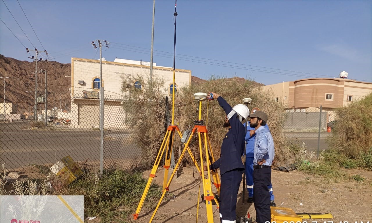
To tie the results to real-world coordinates, our surveyors place and measure ground control points (GCPs) with GNSS. Independent check points confirm how well the model fits the ground.

Our Method and Equipment
When Do You Need a Drone Survey?
- Site appraisal and feasibility studies for new developments
- Topographic mapping of large or hard-to-access areas
- Earthworks planning and cut-and-fill calculations
- Stockpile and quarry volume measurement
- Regular progress monitoring and visual records
- Corridor mapping for roads, pipelines and power lines
Deliverables
- Georeferenced orthophoto mosaics (for example GeoTIFF)
- Digital surface models (DSM) and digital terrain models (DTM)
- Contour plans at agreed intervals
- Dense point clouds and 3D mesh models
- Stockpile and earthwork volume reports
- AutoCAD and Civil 3D drawings prepared by our CAD drafting team
- A survey report covering control, checks and limitations
Accuracy and Quality
Drone survey accuracy depends on flying height, camera quality, image overlap, ground control and the surface being mapped. Bare, textured ground maps well, while vegetation, water, reflective roofs and very uniform surfaces are harder. We agree the accuracy you need before flying, design control to match, and report the results of independent checks so you know how far the data can be relied on.
Benefits of Drone Surveys
- Fast coverage of large areas with fewer days on site
- Less need for people to walk on stockpiles, slopes or active work areas
- A complete visual record of the site at the date of the flight
- Repeatable surveys for progress and volume tracking
Planning
Every project starts with a review of the area, the required outputs and the site constraints. We plan each flight around site permissions, safety and the airspace rules that apply to the location, and coordinate with site management before flying.
Ground Control and Flight
Our surveyors establish ground control with GNSS, then fly the planned mission with suitable overlap and flying height to achieve the required ground sample distance (GSD).
Processing
Our data analysts process the imagery, check the model against control and check points, and edit the surface to remove vegetation, vehicles and other objects where a bare-earth model is needed.
Combining Methods
Drone data works well with our other services. Where you need hard detail such as curbs, manholes or levels under structures, we combine aerial mapping with a ground topographic survey. For buildings and complex structures, 3D laser scanning adds detail the camera cannot see.
One Team, Fieldwork to CAD
Methods Matched to Your Site
5+ Years, 100+ Projects
Nationwide, Riyadh-Based
Why Choose EarthScape?
Sectors We Serve
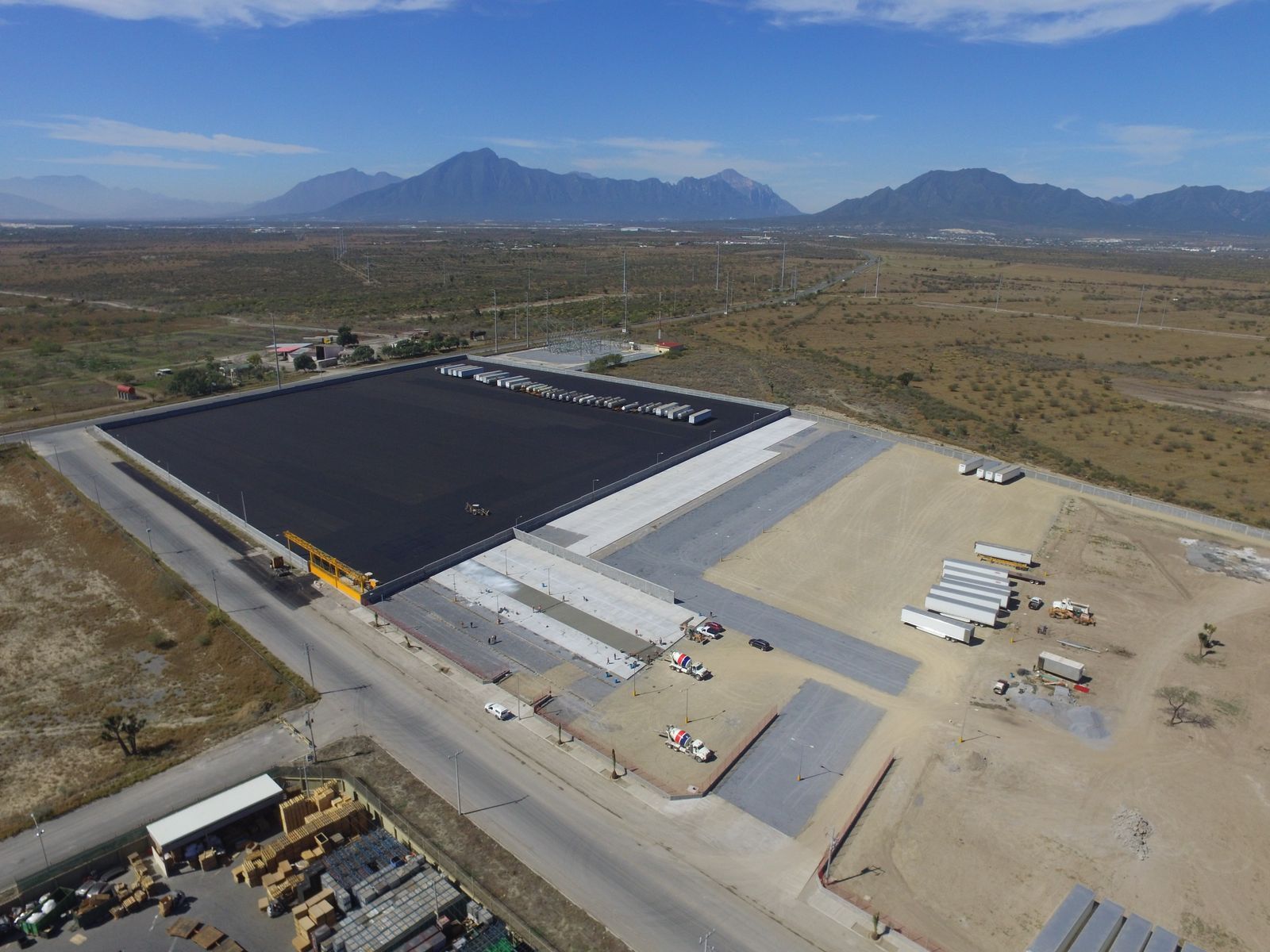
We support construction, energy, mining and environmental projects across Saudi Arabia. Our team has worked on sites ranging from international airports to residential developments, as well as industrial and infrastructure projects.
Frequently Asked Questions
How accurate is a drone survey?
Accuracy depends on flying height, camera, overlap, ground control and the surface. We agree the required accuracy with you, design the control to suit, and report independent check results.
Can a drone survey replace a ground topographic survey?
For large open areas and volumes it often can. For hard detail, levels under structures and areas with dense cover, a ground survey is still needed. Many projects combine both.
Can drones measure stockpile volumes?
Yes. Drone surface models are well suited to stockpile and earthwork volume calculations, and repeat flights can track changes over time.
Do you need permission to fly a drone on site?
Flights are planned around site permissions, safety requirements and the airspace rules that apply to the location. We coordinate with site management before flying.
Where do you carry out drone surveys?
Across all regions of Saudi Arabia (KSA), including Riyadh, Jeddah, Dammam, Makkah and Madinah, managed from our Riyadh office.
Request a Drone Survey Quote
Tell us about your site, the scope and any drawings you have, and our team will reply with a proposal. We serve projects across Saudi Arabia (KSA) from our office in Riyadh.
- Phone: +966 55 679 8661
- Phone: +966 53 875 9468
- Phone: +966 58 288 4362
- Email: info@earthscapesurvey.com