Environmental Studies in Saudi Arabia
Ensuring sustainable development and regulatory compliance: Providing comprehensive environmental assessments and monitoring solutions for projects supporting Saudi Vision 2030.
Environmental Studies Across Saudi Arabia
Development projects need reliable information about the soil, water and ground conditions of a site, both for good design and to meet environmental requirements. EarthScape Technologies provides environmental studies across Saudi Arabia (KSA) from our office in Riyadh, combining field testing, geophysics and clear reporting so that project teams can make informed, responsible decisions.
What Are Environmental Studies?
Environmental studies collect and assess data on the existing condition of a site and how a project may affect it. In Saudi Arabia, environmental requirements for development are overseen by the National Center for Environmental Compliance (NCEC). Our studies provide the site data and assessments that support these requirements and help designers address risks early.
Our Environmental Study Services
Baseline Studies
Recording the existing condition of soil, water and the site before development begins, so later changes can be measured against a clear starting point.
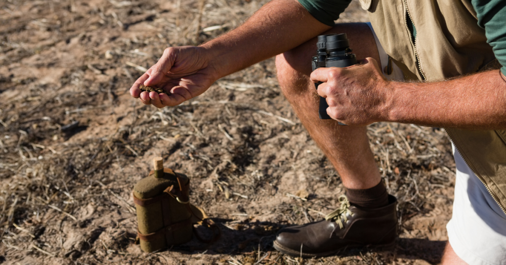
Soil Studies and Soil Stabilization
Assessing soil type, behaviour and suitability, and providing input on soil stabilization where weak or problematic soils affect construction.
Water and Saltwater Infiltration Analysis
Assessing groundwater and the movement of saline water into soils, which can affect foundations, buried concrete and land use, especially near the coast.
Moisture Content Testing
Measuring soil moisture to understand ground behaviour, compaction and the risk of problems such as swelling or collapse in sensitive soils.
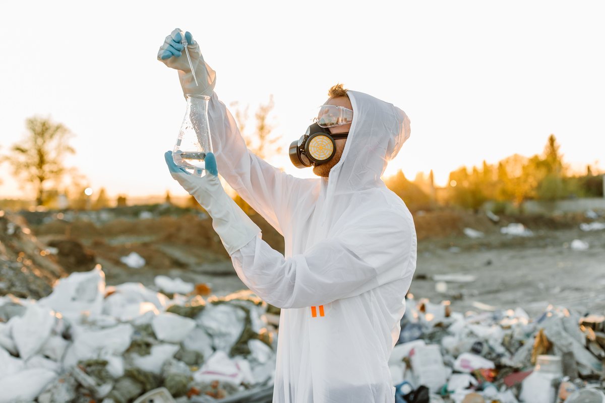
Contamination Screening
Investigating sites with a history of industrial use or suspected contamination, and planning sampling and further assessment where needed.
Support for Environmental Impact Assessment (EIA)
Providing field data and technical studies that feed into the environmental impact assessment for a development.
Water and Marine Environmental Studies
Collecting data for coastal and offshore projects (Red Sea, Arabian Gulf) to help protect marine habitats and resources. These studies can be combined with our hydrographic survey service.
How Geophysics Supports Environmental Studies
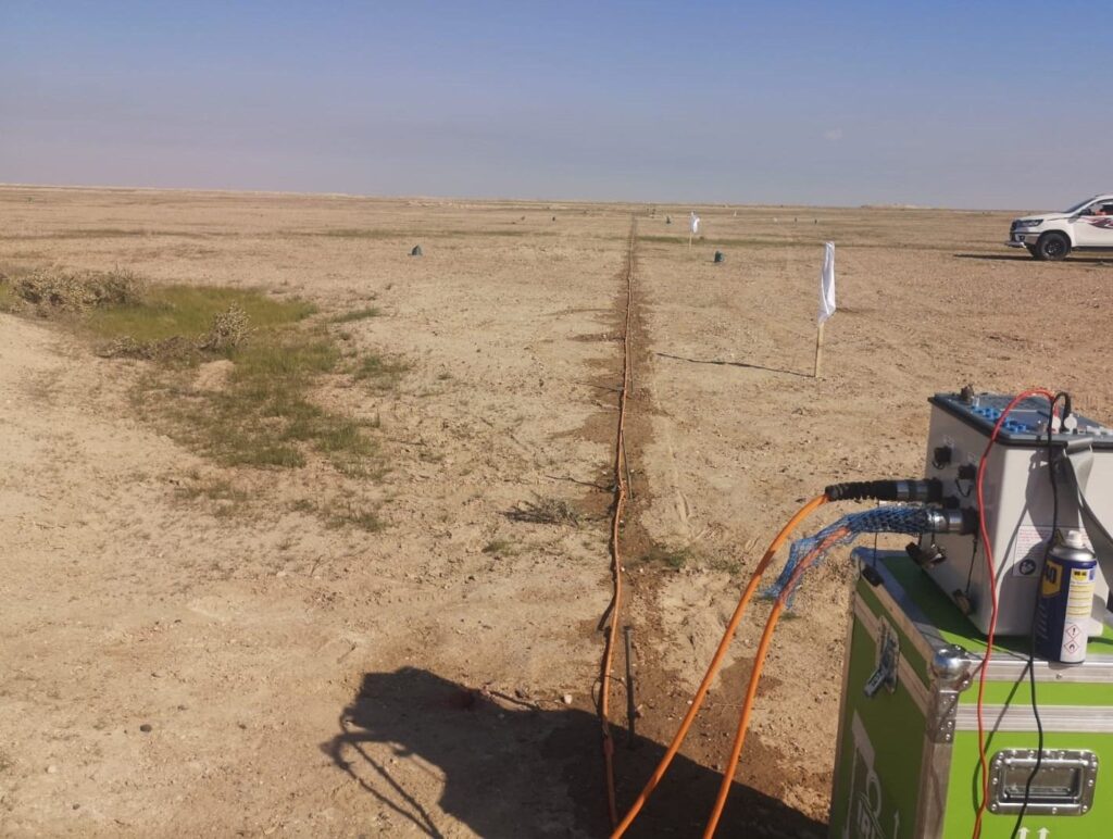
Geophysical methods map ground conditions between sampling points, so fewer boreholes and pits are needed and they can be placed where they matter most. Electrical Resistivity Tomography (ERT) surveys are particularly useful because resistivity changes with moisture and salinity, helping to map groundwater, saline zones and changes in ground conditions. Results can be combined with geotechnical investigation and trial pits for sampling.
When Do You Need an Environmental Study?
- Before land acquisition or development, to understand site conditions
- When preparing environmental documentation for a project
- For coastal sites where saline water and groundwater affect design
- For sites with a history of industrial use or suspected contamination
- When soil behaviour, moisture or stabilization affects construction
Our Method
- Scoping: we agree the purpose, the requirements to be met and the study area with you.
- Desk review: available maps, previous reports and site history are reviewed.
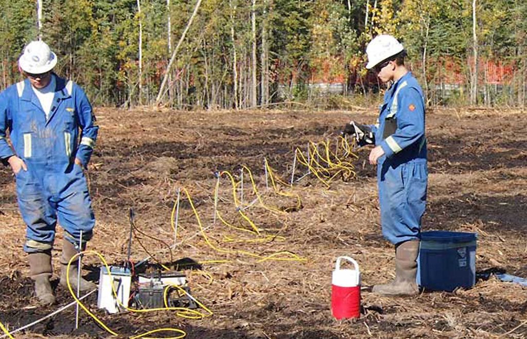
- Field work: our team carries out site inspections, testing, sampling and geophysical surveys as needed.
- Analysis: field and laboratory results are assessed and interpreted.
- Reporting: findings, risks and recommendations are set out in a clear report with maps and drawings.
Deliverables
- Study report with methods, results, interpretation and recommendations
- Site plans and maps showing test, sample and survey locations
- Test results and sample records
- Geophysical sections where used
- Data in formats agreed with your design and environmental team
Why Choose EarthScape?
- Environmental, geophysical and survey work from one team
- Practical findings that design teams can act on
- 5+ years of experience, 20+ experts, 40+ clients and 100+ projects delivered
- Projects across Saudi Arabia, managed from our Riyadh office
Frequently Asked Questions
What does an environmental study include?
The scope depends on the project. It can include baseline site studies, soil and moisture testing, water and saltwater infiltration analysis, contamination screening and data to support an environmental impact assessment.
Who regulates environmental requirements in Saudi Arabia?
Environmental requirements for development are overseen by the National Center for Environmental Compliance (NCEC). Our studies provide site data and assessments that support these requirements.
Why use geophysics in an environmental study?
Geophysical methods such as ERT map ground conditions continuously between sampling points. This helps target boreholes and samples and can reduce the number needed.
Do you work on coastal sites?
Yes. We assess groundwater and saline water conditions on coastal sites and can combine environmental work with hydrographic surveys.
Do you carry out environmental studies across KSA?
Yes. Our office is in Riyadh and we carry out environmental studies for projects across all regions of Saudi Arabia (KSA).
Request a Environmental Study Quote
Tell us about your site, the scope and any drawings you have, and our team will reply with a proposal. We serve projects across Saudi Arabia (KSA) from our office in Riyadh.
- Phone: +966 55 679 8661
- Phone: +966 53 875 9468
- Phone: +966 58 288 4362
- Email: info@earthscapesurvey.com
Reliable, Accurate Results
Precision Environmental Studies for Diverse Project Needs
Soil Analysis & Stabilization
Field and laboratory testing of soils to understand their behaviour and support stabilization and ground improvement decisions.
Baseline Studies & Monitoring
Establishing the existing environmental conditions of a site before any development activity begins.
Moisture & Saltwater Infiltration
Mapping moisture content and saltwater infiltration in the ground using sampling combined with ERT and other geophysical methods.
Water & Marine Environmental Studies
Essential for coastal and offshore projects (Red Sea, Arabian Gulf) to protect marine habitats and resources.
Ideal for Saudi Arabia's Infrastructure
Environmental compliance is non-negotiable for the large-scale, high-profile projects driving Saudi Arabia's future. Our services are tailored to navigate the complex regulatory environment and sensitive ecosystems.
Clear, Report-Ready Data
Results are delivered as maps, sections and a clear report that your environmental consultant can use directly.
Marine Project Expertise
Specialized experience in assessing and managing impacts on the fragile coastal and marine environments of the Red Sea and Arabian Gulf.
Sustainable Design Integration
Providing input to engineering teams to integrate sustainability principles early in the project design phase.
Water Table & Hydrogeology
Depth to groundwater and hydrogeological conditions from ERT, boreholes and existing records.
Geophysics-Guided Sampling
Geophysics shows where conditions change, so fewer boreholes and pits are needed and they are placed where they matter.
100+ Projects Completed