
A void under a slab or a road usually shows itself late: a crack that keeps opening, a settling footing, or a sudden collapse after rain or a pipe leak. In parts of Saudi Arabia the risk is real. Limestone and gypsum can dissolve over time, old wells and tunnels get buried and forgotten, and leaking water or sewer lines wash fine soil out from under pavements. Cavity and sinkhole detection finds these weak zones before you build on them, or before they grow. EarthScape carries out cavity surveys across Saudi Arabia (KSA) from our office in Riyadh.
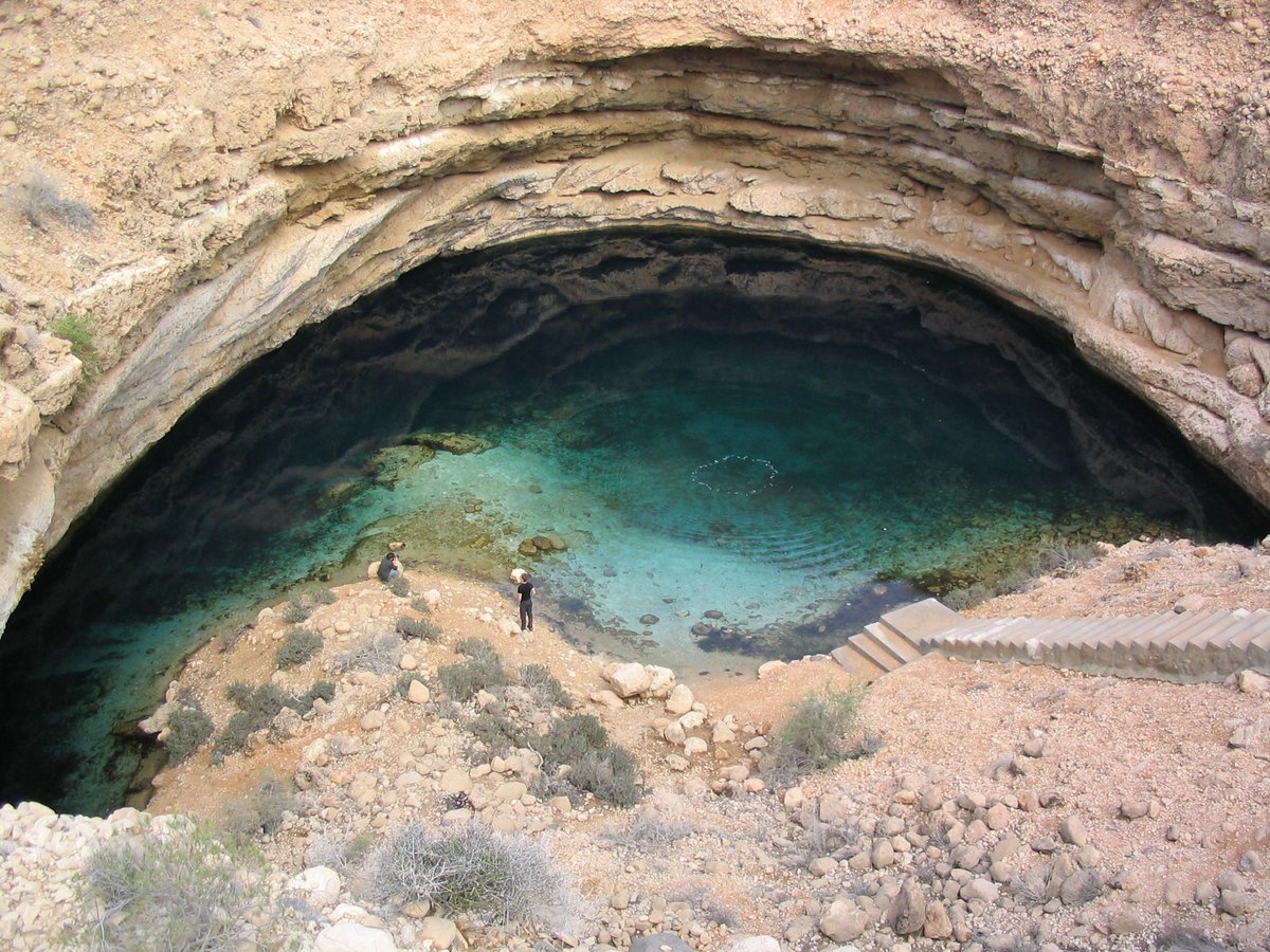
When Should You Check for Cavities?
- Before designing foundations on karst limestone or gypsum ground
- Where cracks, settlement or depressions have appeared in slabs, roads or yards
- After a pipe burst or long-term leak, to see whether soil has washed out
- Along new road, pipeline and utility corridors
- Around tanks, plant foundations and heavy equipment pads
- On plots with old wells, backfilled pits or unknown buried structures
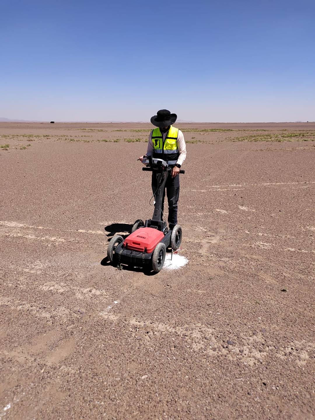
Methods We Use
No single method sees every cavity, so we pick the method, or the combination, to suit the depth and size of what you are worried about.
Ground Penetrating Radar (GPR)
For shallow voids under slabs, roads and paving we use our GSSI 350 MHz HyperStacking GPR. It shows air gaps, loose backfill and washouts in the top few metres as clear changes in the radar picture. Depth range depends a lot on the ground; dry sand works well, wet or clay-rich ground cuts it short. More on the method on our GPR survey page.
Electrical Resistivity Tomography (ERT)
For deeper targets, ERT builds a resistivity section along a line of electrodes. An air-filled cavity shows as a high-resistivity zone, while a clay- or water-filled one often shows low. See our ERT survey page for how lines are laid out and how deep they reach.
MASW
Weak, loosened or collapsed zones have lower shear-wave velocity than the rock or dense soil around them. A MASW survey profile helps map these soft zones and gives the stiffness data your geotechnical engineer needs anyway.
Microgravity
A precise gravimeter measures tiny drops in gravity over air-filled or loosely filled voids. Microgravity works well on paved areas, floor slabs and inside buildings, where other methods struggle. See our gravity and microgravity survey service.
Drilling to Confirm
Geophysics tells you where to look. Anomalies are then checked with boreholes or probe holes as part of a geotechnical investigation, so you know the real depth, size and fill of the void before deciding on grouting or redesign.
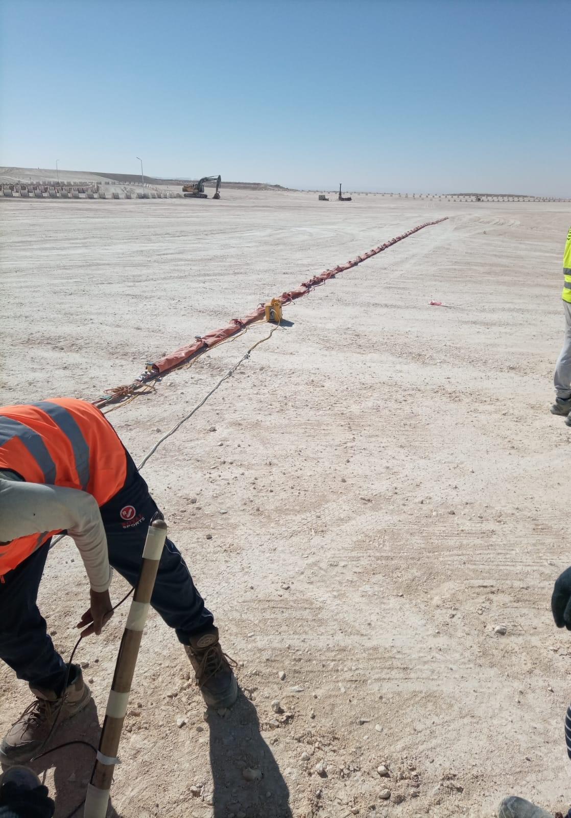
How a Cavity Survey Runs on Site
- Desk check: we look at drawings, any borehole logs and the history of the site (cracks, leaks, old wells).
- Survey design: grid spacing for GPR, line positions and electrode spacing for ERT and MASW, based on the depth and size of void that matters for your structure.
- Field work: data is collected with GNSS or total station positioning so every anomaly can be found again on the ground.
- Processing and interpretation: we compare the methods against each other; an anomaly seen in two methods carries more weight than one seen in only one.
- Marking and report: suspect zones are marked on site if needed and shown on plans with recommended drilling points.
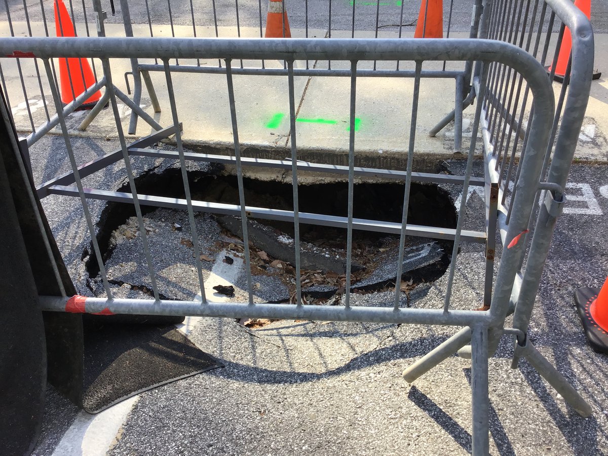
What You Receive
- Plan of anomalies with coordinates, ranked by confidence
- GPR depth slices or radargrams, ERT and MASW sections
- Estimated depth range of each suspect zone
- Recommended borehole or probe locations to confirm
- CAD drawings and a short, readable report
Why EarthScape
Our team has run GPR, ERT and MASW surveys on sites all over the Kingdom, from city streets to open desert, with 5+ years in business, 100+ projects and 20+ experts. Each team member has over 10 years in the field. We tell you plainly what the data shows and what it can’t, so drilling money goes where it’s needed.
This service is part of our wider geophysical survey in Saudi Arabia services, which combine several methods when a project needs them.
Frequently Asked Questions
Can a survey find every cavity on my site?
No method can promise that. What can be detected depends on the size and depth of the void, the fill inside it and the ground around it. We design the survey around the smallest void that matters for your structure and tell you the limits up front.
How deep can you detect cavities?
GPR works best in roughly the top few metres, depending on soil. ERT and MASW reach deeper; depth depends on line length and spacing. For deep karst we combine methods and confirm with drilling.
Which method is best for sinkholes under a road or slab?
For shallow washouts under paving, GPR is usually the fastest first step. If the concern is deeper dissolution in limestone or gypsum, we add ERT and MASW lines.
Do I still need boreholes after a geophysical survey?
Yes, for anything you plan to treat or build over. Geophysics narrows down where to drill, which usually means fewer and better-placed boreholes.
Do you carry out cavity surveys outside Riyadh?
Yes. Our office is in Riyadh and we mobilise to sites in all regions of Saudi Arabia.
Request a Cavity Survey Quote
Send us the site location, plot size or line lengths, and any drawings or borehole logs you already have. We will come back with a scope and quotation. Our office is in Riyadh and our crews work across Saudi Arabia (KSA).
- Phone: +966 55 679 8661
- Phone: +966 53 875 9468
- Phone: +966 58 288 4362
- Email: info@earthscapesurvey.com