
About EarthScape – Survey & Geophysical Company in Saudi Arabia
Geophysicists, surveyors and CAD engineers delivering GPR, utility, geophysical and topographic surveys across Saudi Arabia.
Who we are
We are a team of geophysicists, surveyors, engineers and data analysts based in Riyadh and working on project sites across Saudi Arabia. With 5+ years of experience and a deep understanding of subsurface analysis, we provide precise, data-driven results for construction, infrastructure, energy, mining and environmental projects. Our team combines field experience with modern survey and geophysical equipment to deliver results that meet each client’s needs, so they can design and build with confidence.
Quality-controlled, reliable and accurate results
Professional, qualified field and office staff
Careful testing and checking before data leaves site
Experienced team, with members who have more than 10 years of field experience
Latest geophysical technology and survey equipment
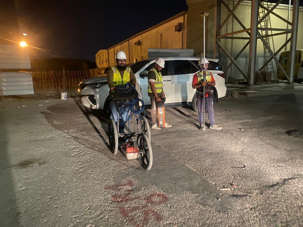
Reliable, Accurate Results
Trusted Survey & Geophysical Experts in Saudi Arabia
EarthScape Technologies for Survey and Geological Exploration
Our Mission
At EarthScape Technologies, our mission is to provide innovative geophysical surveying solutions that empower our clients to make informed decisions about their land and resources. We are dedicated to leveraging cutting-edge technology and expert knowledge to deliver accurate, reliable, and timely data. By prioritizing sustainability and safety, we aim to enhance environmental stewardship and contribute to the responsible development of natural resources. Our commitment to excellence and integrity drives us to build lasting partnerships with our clients, helping them navigate the complexities of geophysical exploration with confidence.
Our Team
Experience, Safety, Precision
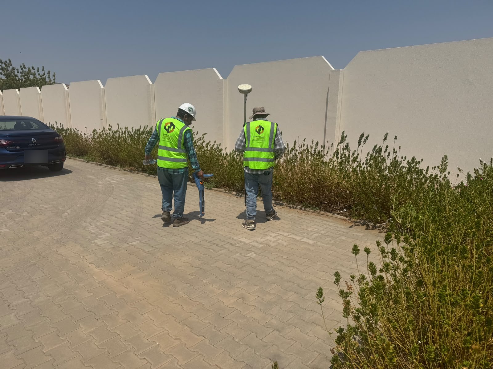
GPR & Utility Crews
Our crews scan roads, plots and plants with GPR, cable locators and GNSS, day or night.
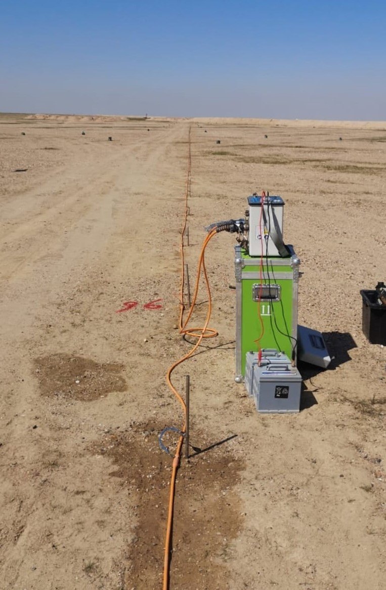
Geophysics Team
MASW, seismic and ERT surveys that show what the ground is made of before you design.
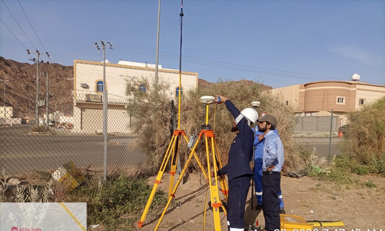
Survey Team
GNSS and total station surveys for levels, features, setting out and as-built records.
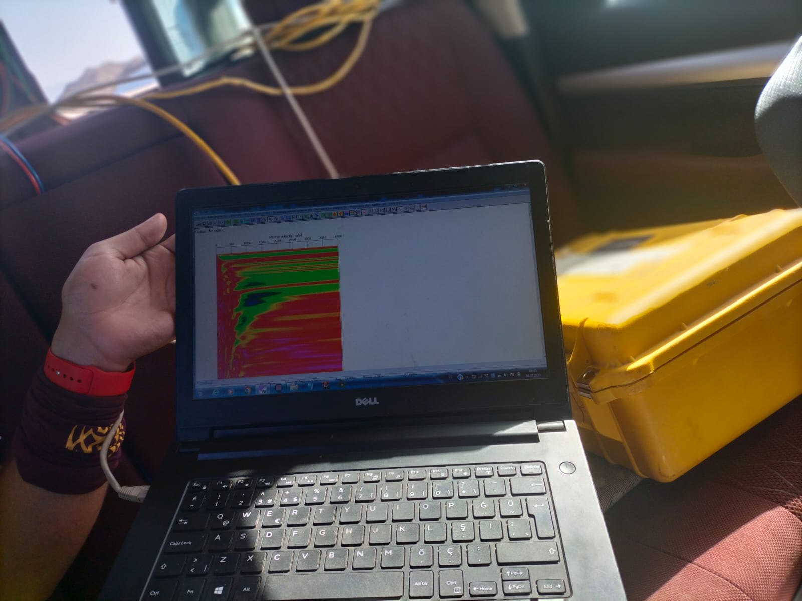
Data & CAD Team
Field data turned into clear CAD drawings, models and reports your engineers can use.
One Team for All Your Survey Needs
Tell us about your site and the survey you need. Our team will call you back to confirm the scope, the schedule and a quotation.
Why Choose Us
Expertise
Our team includes experienced geophysicists and survey professionals, with members who have more than 10 years of field experience.
Technology
We leverage the latest technologies for precise data collection and analysis.
Custom Solutions
Tailored services to meet the specific needs of your project.
Sustainability
Commitment to environmentally responsible practices in all our operations.