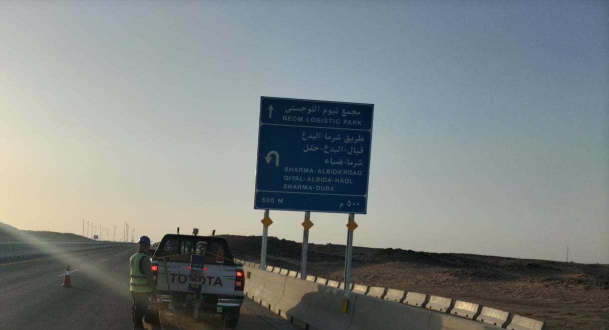
Seismic Refraction & Borehole Seismic Surveys in Saudi Arabia
Seismic refraction, crosshole and downhole surveys for bedrock depth, rippability and soil stiffness across KSA.
Seismic Survey Services Across Saudi Arabia
Foundation design, excavation planning and earthworks all depend on knowing how deep the rock is and how stiff the ground is. A seismic refraction survey measures this across a whole site, between and beyond boreholes. EarthScape Technologies provides seismic refraction, crosshole and downhole seismic surveys across Saudi Arabia (KSA) from our office in Riyadh.
What Is a Seismic Refraction Survey?
A seismic refraction survey uses a line of geophones laid out on the ground and a controlled energy source, such as a hammer and plate. The source sends seismic waves into the ground. Where the waves meet a faster layer, such as dense soil or bedrock, they bend (refract) and travel along it before returning to the surface. By measuring the arrival times at each geophone, our geophysicists calculate the seismic velocity of each layer and the depth to each boundary.
Seismic velocity is closely linked to how hard and stiff a material is, so the results help engineers judge how easy the ground will be to excavate and how it will behave under load.
Borehole Seismic: Crosshole and Downhole
Downhole Seismic
A source at the surface sends waves down to a receiver lowered into a borehole. Measurements at regular depth intervals give compression-wave and shear-wave velocities for each layer at that borehole.
Crosshole Seismic
A source in one borehole and receivers in one or more nearby boreholes measure the waves travelling horizontally between them. This gives detailed velocity profiles with depth and is often used where dynamic soil properties are needed for design.
When Do You Need a Seismic Survey?
- To estimate depth to bedrock across a site or along a route
- To assess rippability before excavation and earthworks
- To provide shear-wave velocities and dynamic soil properties for foundation design
- To fill the gaps between boreholes and plan where to drill
- To screen sites for weak zones before detailed investigation
Ideal for Saudi Arabia’s Infrastructure
Our Seismic Surveying services are perfectly aligned with the scale and complexity of projects under Saudi Vision 2030 initiatives, including NEOM, The Red Sea Project, and major rail network expansions. Seismic methods work well in many of the Kingdom’s desert, rocky and coastal settings, where depth to rock can change quickly across short distances.
Our Method
- Planning: we review the site, borehole data and project needs, then design line lengths and geophone spacing to reach the required depth.
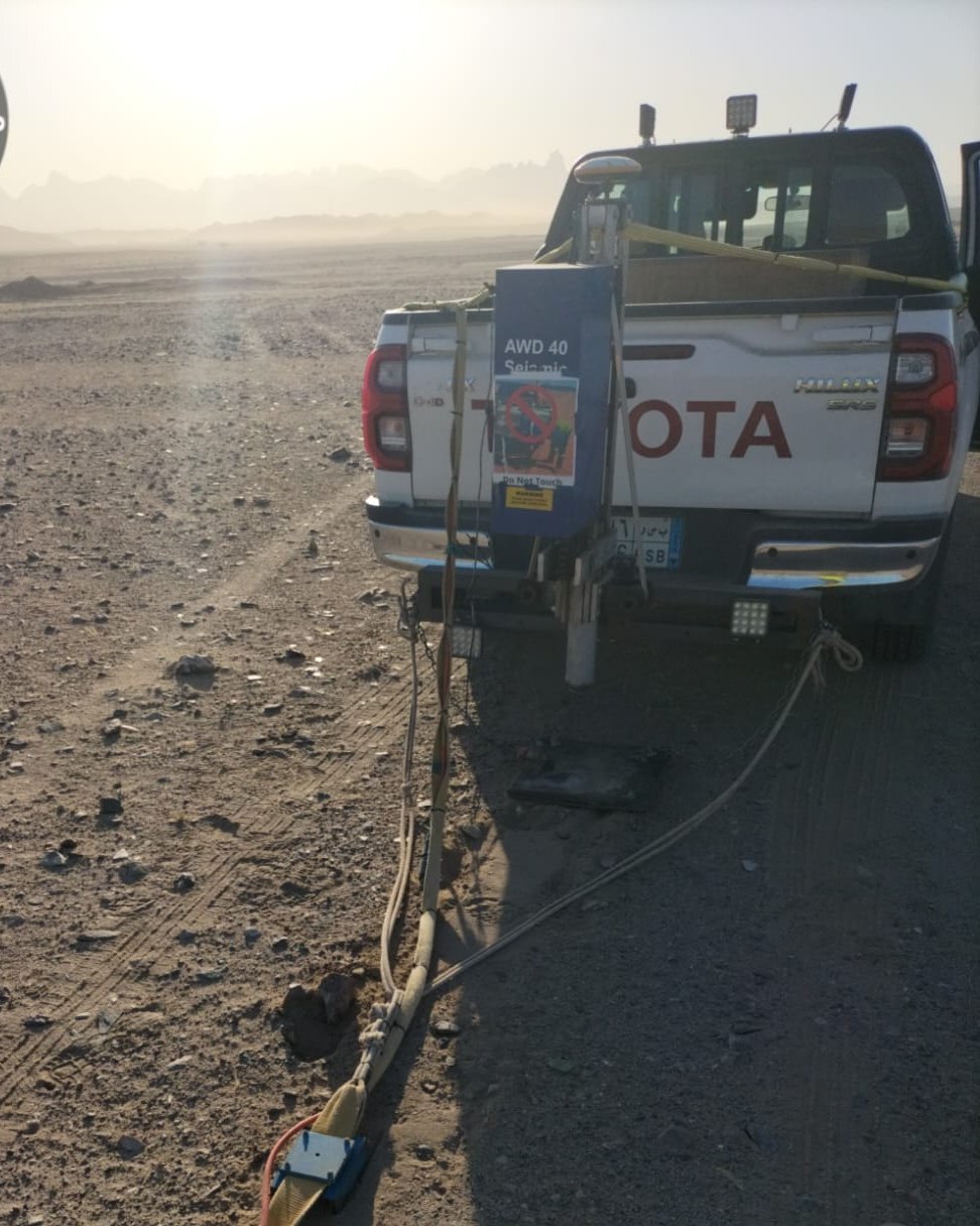
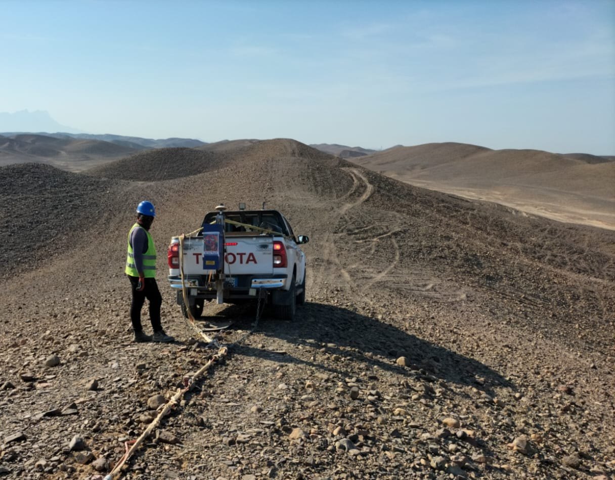
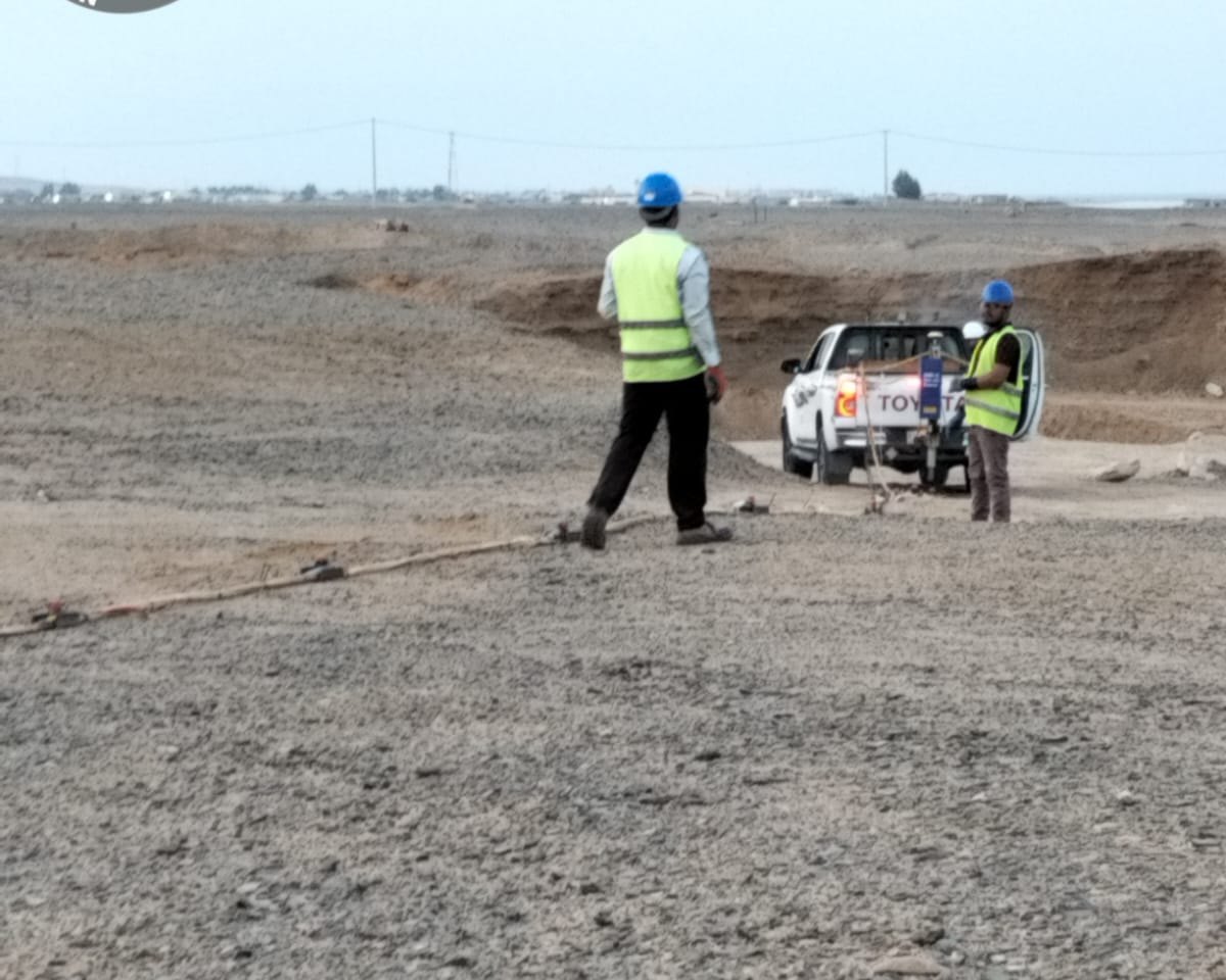
- Field work: our team lays out the geophone spreads, records multiple shots along each line and surveys line positions and levels.
- Processing: first arrivals are picked and inverted to produce velocity models and layer depths.
- Interpretation: results are compared with borehole logs and other data, and presented as clear sections.
Seismic refraction is often combined with an MASW survey for shear-wave velocity and Vs30, and with electrical resistivity tomography for cavities and moisture. Together they support a full geotechnical investigation.
Deliverables
- Seismic velocity sections for each survey line
- Interpreted layer boundaries and estimated depth to bedrock
- Velocity-depth tables for crosshole and downhole tests
- Rippability guidance based on seismic velocity, where requested
- Line location plans in CAD and a written report with limitations
Limitations
Standard refraction needs velocity to increase with depth. A slow layer beneath a faster one may not be detected, and very thin layers can be missed. Results are interpretations and should be calibrated with boreholes where possible. We explain these limits in every report.
Why Choose EarthScape?
- In-house geophysicists who plan, acquire and interpret the data
- Seismic, MASW, ERT and magnetic methods available from one team
- 5+ years of experience, 20+ experts, 40+ clients and 100+ projects delivered
- Projects across Saudi Arabia, managed from our Riyadh office
This service is part of our wider geophysical survey in Saudi Arabia services, which combine several methods when a project needs them.
Frequently Asked Questions
What is the difference between seismic refraction and MASW?
Seismic refraction mainly measures compression-wave velocity and layer depths, which helps with bedrock depth and rippability. MASW measures shear-wave velocity and Vs30 for site classification and stiffness. They are often carried out together.
How deep can a seismic refraction survey reach?
Depth depends mainly on the length of the geophone line and the energy source. As a rule, the investigation depth is a fraction of the line length, so we design the layout around the depth you need.
Do crosshole and downhole tests need boreholes?
Yes. Downhole tests need one cased borehole and crosshole tests need two or more. We can advise on borehole preparation before the test.
Can seismic refraction tell me if rock can be ripped?
Seismic velocity is widely used as an indicator of rippability. We provide velocity results and guidance, which your geotechnical engineer and earthworks contractor use alongside borehole data and equipment information.
Do you work across all of Saudi Arabia?
Yes. Our office is in Riyadh and we carry out seismic surveys for projects across all regions of Saudi Arabia (KSA).
Request a Seismic Survey Quote
Tell us about your site, the scope and any drawings you have, and our team will reply with a proposal. We serve projects across Saudi Arabia (KSA) from our office in Riyadh.
- Phone: +966 55 679 8661
- Phone: +966 53 875 9468
- Phone: +966 58 288 4362
- Email: info@earthscapesurvey.com
Reliable, Accurate Results
Precision Seismic for Diverse Project Needs
Bedrock Depth & Rippability
Seismic refraction shows the depth to rock and how hard it is, so earthworks, excavation and blasting can be planned and priced correctly.
Geotechnical & Foundation Design
Critical for all major construction, including high-rise buildings and industrial facilities. We provide the essential subsurface inputs needed to comply with rigorous engineering standards.
Cavity & Hazard Detection
Essential for high-risk regions prone to dissolution features. Early detection is crucial for safety and preventing costly damage to national assets.
Pipeline & Rail Integrity Assessment
Focused subsurface inspection to ensure the long-term integrity and stability of vital linear infrastructure projects across the Kingdom.
Ideal for Saudi Arabia's Infrastructure
Our Seismic Surveying services are perfectly aligned with the scale and complexity of projects under Saudi Vision 2030 initiatives, including NEOM, The Red Sea Project, and major rail network expansions.
Regional-Scale Mapping
Efficiently survey vast, remote desert, mountain, and coastal areas.
Real-Time Data Output
Integrate survey results directly into planning models.
Deep Structural Delineation
Image targets at depths far beyond other shallow methods.
Design Input
Provides Vs data needed for seismic-resistant foundation design.
Maximum Efficiency
Optimize site-specific acquisition to deliver data faster and more reliably.
Multi-Disciplinary Integration
Seamlessly combine with GPR, drilling, and geotechnical reports.
100+ Projects Completed