
Topographic Survey in Saudi Arabia
Accurate ground levels, contours and site features with GNSS and total stations, delivered in AutoCAD and Civil 3D across KSA.
Topographic Survey Services Across Saudi Arabia
Every design, earthworks plan and construction drawing starts with an accurate picture of the ground. A topographic survey records the shape of the land and every natural and built feature on it, with coordinates and levels you can design from. EarthScape Technologies provides topographic and engineering surveys across Saudi Arabia (KSA) from our office in Riyadh.
What Is a Topographic Survey?
A topographic survey measures three-dimensional coordinates (Easting, Northing and Elevation) for points across a site. These points describe ground levels, slopes and features such as buildings, roads, curbs, walls, fences, manholes, poles, trees and drainage. The data is turned into a contour plan, a digital terrain model (DTM) and CAD drawings that engineers and architects use for design.
When Do You Need a Topographic Survey?
- Feasibility studies, master planning and land development
- Design of buildings, roads, utilities and drainage
- Earthworks planning and cut-and-fill calculations
- Route surveys for pipelines, power lines and other linear projects
- Existing-condition records before construction or renovation
- Stockpile and volume measurement for construction and mining
Our Method and Equipment
Survey Control
We start by establishing or checking survey control with GNSS RTK, tied to the coordinate system and datum specified for your project. Control is the foundation for all later work, including setting out and as-built surveys.
Detail Survey
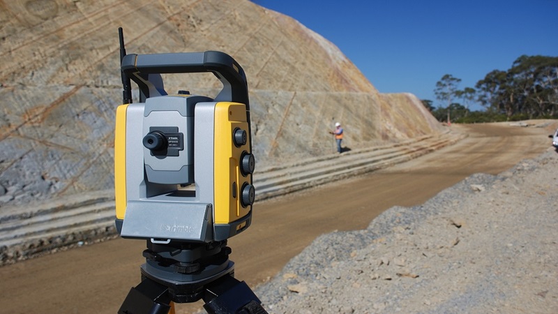
Our surveyors measure ground levels and features with GNSS RTK and robotic total stations. Digital levels are used where height accuracy is critical, such as drainage and floor levels.
Large Areas and Complex Structures
For large or hard-to-reach sites, we combine ground survey with drone survey mapping to capture orthophotos and surface models quickly. For buildings, plants and dense structures, 3D laser scanning captures detail that would take far longer to measure point by point.
Large-Scale Coverage
Deploying drones and LiDAR for efficient mapping of vast sites (e.g., NEOM, gigaprojects).
Processing and Drafting
Field data is checked, processed and drafted in AutoCAD and Civil 3D by our CAD team, using your layer standards where provided. See our CAD drafting and BIM services.
Deliverables
- Topographic plans with spot levels, features and contours at agreed intervals
- Digital terrain models (DTM) and surfaces in Civil 3D
- Cross-sections and long-sections for roads and linear routes
- Control point coordinates and descriptions
- Earthwork and stockpile volume reports
- DWG, DXF, PDF and point files in agreed formats
Accuracy and Quality
We agree the required accuracy and level of detail before work starts. Control is checked with independent observations, and detail is checked against control and repeat measurements. Accuracy depends on the method, the site and the features being measured, and every survey report states the control used and the checks carried out.
Topographic Survey Plus Underground Information
A topographic survey shows what is on the surface. For many projects, designers also need to know what is underground. We can add a PAS 128 utility survey or a GPR survey to the same package, so surface and buried features are delivered on one drawing in one coordinate system.
Why Choose EarthScape?
- Surveyors, engineers and CAD staff in one team
- GNSS, total station, drone and laser scanning methods matched to your site
- Clean CAD drawings ready for design
- 5+ years of experience, 20+ experts, 40+ clients and 100+ projects delivered
- Projects across Saudi Arabia, managed from our Riyadh office
Frequently Asked Questions
Is a topographical survey the same as a topographic survey?
Yes. “Topographic survey” and “topographical survey” mean the same thing: a measured survey of ground levels, contours and surface features. Both terms are used in Saudi Arabia, and EarthScape delivers the same service whichever term your specification uses.
What is included in a topographic survey?
Ground levels, contours and visible features such as buildings, roads, curbs, walls, fences, manholes, poles, trees and drainage. The exact scope and level of detail are agreed with you before the survey starts.
Which coordinate system do you use?
We work on the coordinate system and datum specified for your project. If none is specified, we agree a suitable system with you before establishing control.
When should I use a drone instead of a ground survey?
Drones are efficient for large, open areas and volume measurement. Ground methods are better for hard detail, levels under structures and areas with dense vegetation or buildings. Many projects combine both.
Can you show underground utilities on the topographic drawing?
Yes. We can add GPR and cable locating or a PAS 128 utility survey, so buried services appear on the same drawing as the topographic detail.
Do you carry out topographic surveys outside Riyadh?
Yes. Our office is in Riyadh, and we carry out topographic surveys across all regions of Saudi Arabia (KSA).
Request a Topographic Survey Quote
Tell us about your site, the scope and any drawings you have, and our team will reply with a proposal. We serve projects across Saudi Arabia (KSA) from our office in Riyadh.
- Phone: +966 55 679 8661
- Phone: +966 53 875 9468
- Phone: +966 58 288 4362
- Email: info@earthscapesurvey.com
Reliable, Accurate Results
Precision Topography for Diverse Project Needs
Infrastructure & Engineering Design
Providing the essential base map data required for all civil engineering and architectural planning activities in the Kingdom.
Construction & Earthwork Management
Critical for planning, quantifying, and monitoring earthmoving operations, ensuring compliance with design specifications.
Volumetric & Stockpile Analysis
Offering fast, non-contact measurement of material volumes, which is crucial for resource management in mining and construction sectors.
Specialized Marine & Coastal Surveys
Extending precise topographic control into transition zones and shallow marine areas for complex coastal development projects.
Ideal for Saudi Arabia's Infrastructure
Our Topographic Survey services are specifically tailored to meet the scale, speed, and precision demands of the national transformation under Vision 2030.
Large-Scale Coverage
Deploying drones and LiDAR for efficient mapping of vast sites (e.g., NEOM, gigaprojects).
High-Accuracy Control
Establishing permanent, reliable geodetic control using GNSS tied to national datums.
3D Deliverables
Providing detailed Digital Terrain Models (DTMs) and Point Clouds for BIM integration.
Efficient Alignment
Essential for accurate routing and construction of linear projects like the SAR rail networks.
Rapid Turnaround
High-speed data acquisition minimizes site time and accelerates the project schedule.
100+ Projects Completed
Topographic Survey Projects in the Field
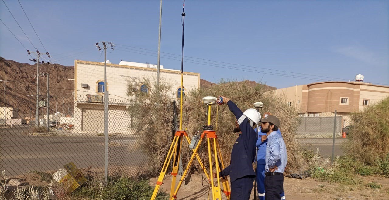
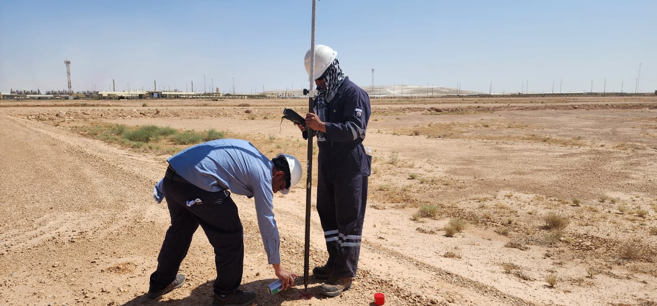
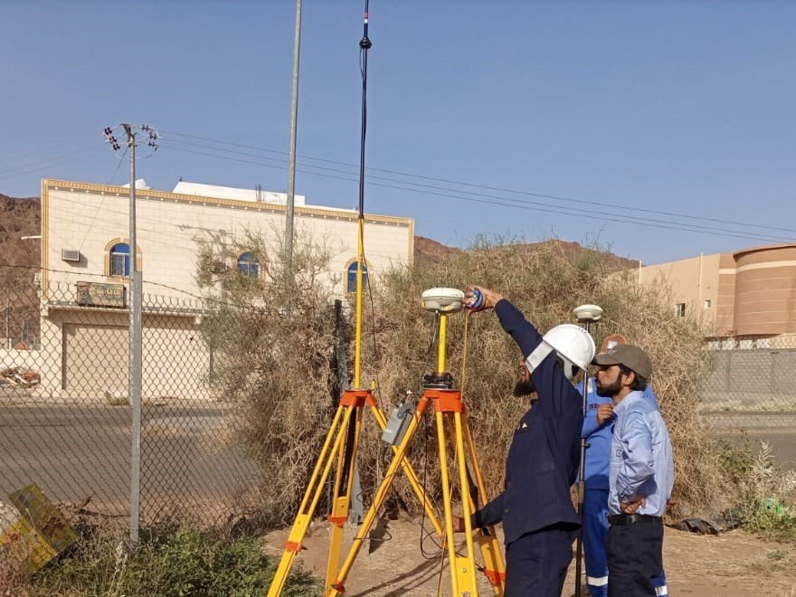
Total station and GNSS RTK surveys on bridges, boundary walls and open desert sites, from control points to detailed topographic mapping. For long road and street corridors we also offer mobile mapping surveys.
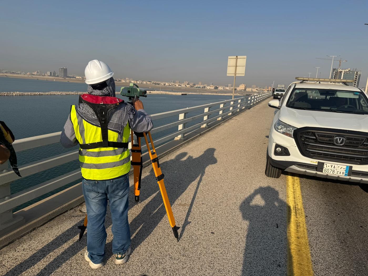
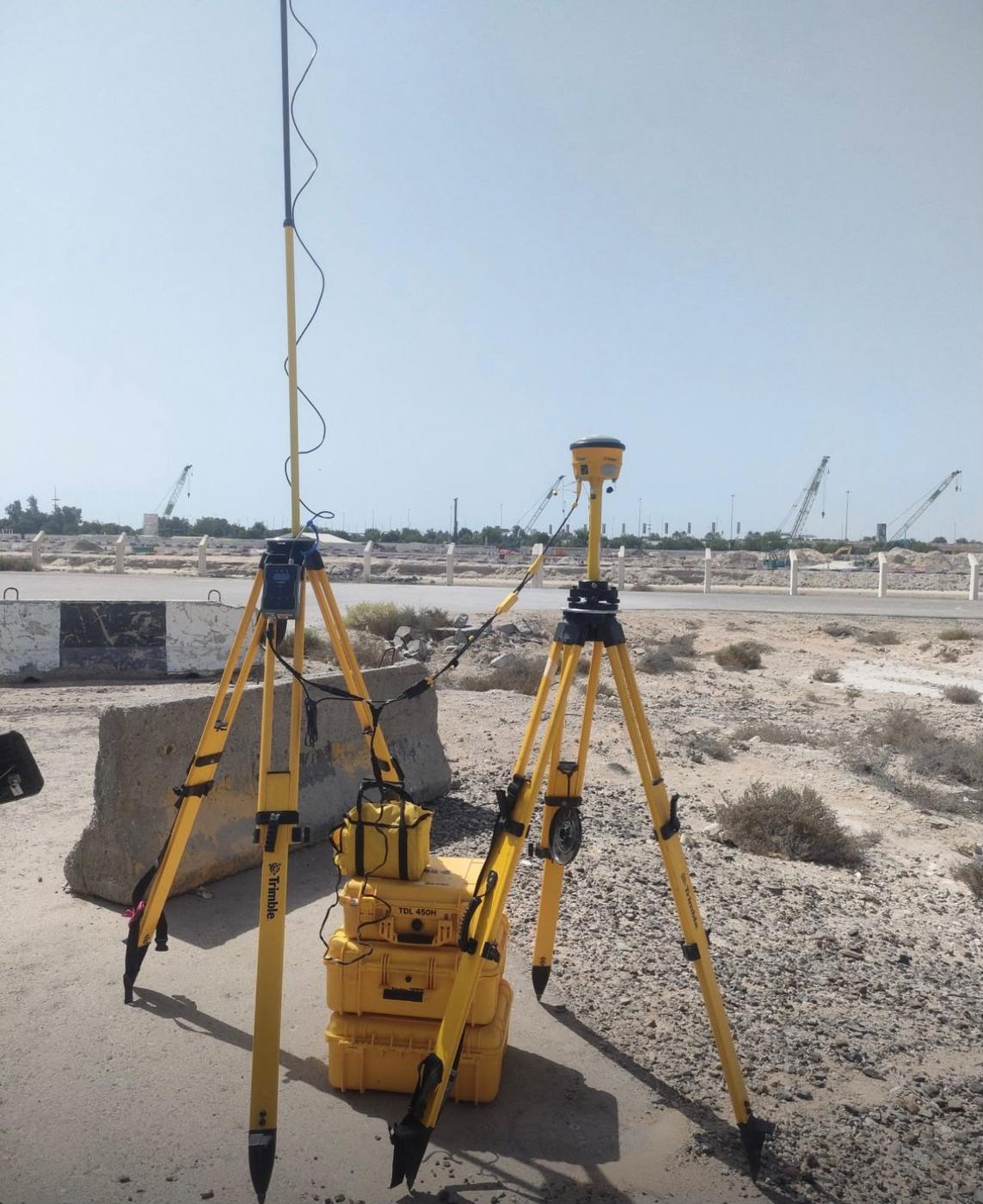
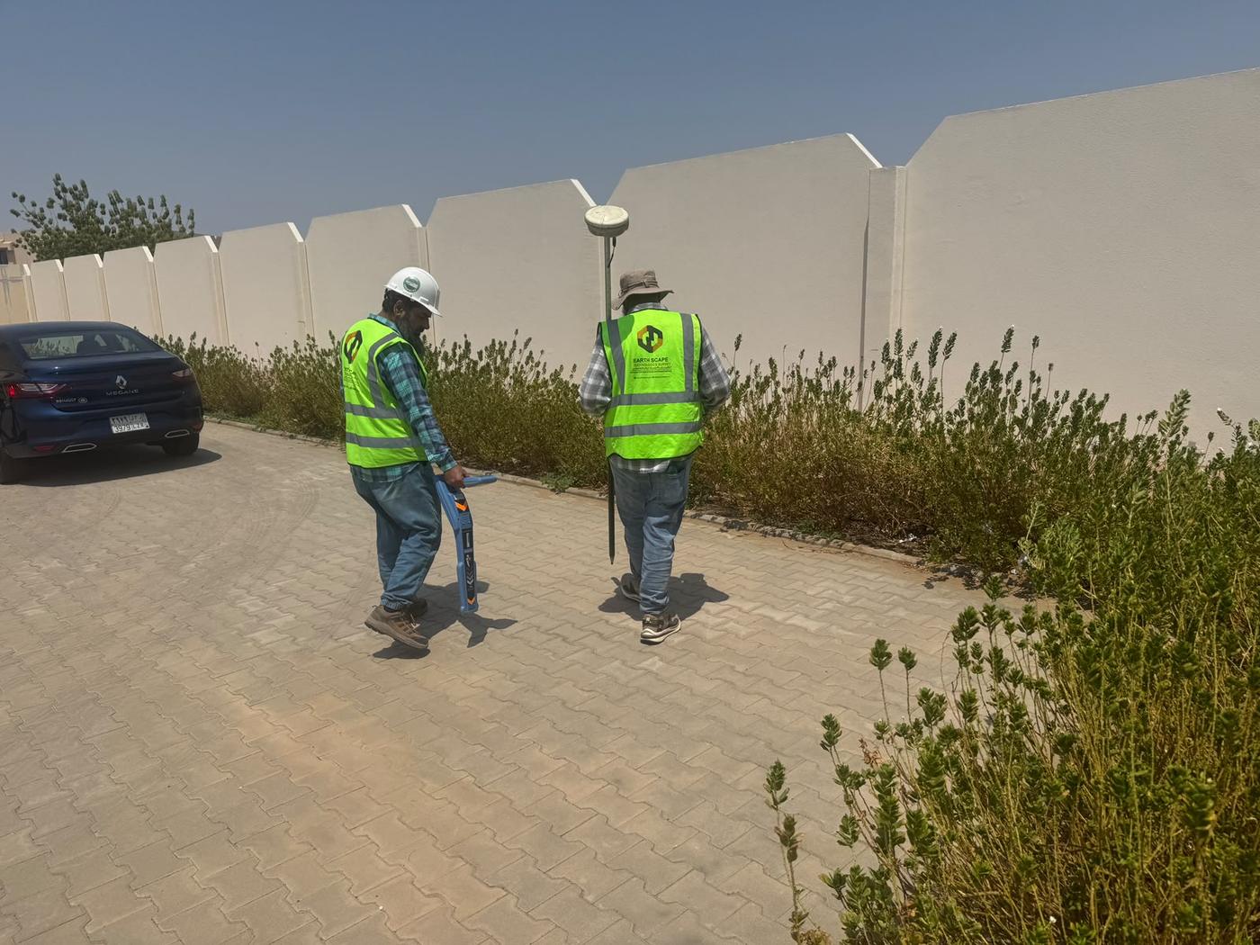
See more field photos in our survey project portfolio.