
Geotechnical Investigation in Saudi Arabia
Engineering certainty from the ground up: Delivering comprehensive subsurface analysis and reporting essential for the safety and success of all civil projects in the Kingdom.
Geotechnical Investigation Across Saudi Arabia
Every foundation design starts with one question: what is actually under the site? Drawings and old reports only take you so far. Earthscape carries out geotechnical investigation across Saudi Arabia, drilling boreholes, taking samples, testing them in the lab and putting the results into a report your structural engineer can use straight away. Our office is in Riyadh, but our rigs and crews work wherever the project is in the Kingdom.
Why Ground Conditions Matter in KSA
Saudi ground is not uniform. In one city you can find loose wind-blown sand, cemented layers, weathered limestone and pockets of clay within a few hundred metres. Some limestone areas carry cavities. Coastal sites can have a shallow, salty water table that attacks concrete. If these conditions are missed, the cost shows up later as cracked slabs, settling columns or a foundation that was designed much heavier than it needed to be.
A proper soil investigation removes that guesswork. It tells the designer the bearing capacity, the expected settlement, the groundwater level and how aggressive the soil is to steel and concrete. Where earthing design is also in scope, our separate soil resistivity test gives the ground resistivity values the designer needs.
What Our Geotechnical Investigation Includes
Borehole Drilling and Sampling
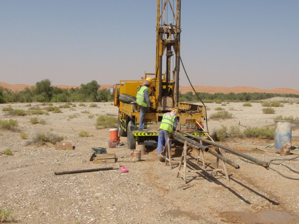
We drill boreholes with truck-mounted rigs to the depth the structure needs. In soil we take disturbed and undisturbed samples and run Standard Penetration Tests (SPT) at regular intervals. In rock we core and record recovery and RQD. Every borehole is logged on site by our field staff, not filled in later from memory.
Trial Pits
For shallow foundations, roads and pavements, a trial pit lets you see the soil layers directly and take bulk samples. It is often the quickest way to check the top few metres.
Groundwater Observation
We record the water level during drilling and, where needed, install standpipes so the level can be checked again after it settles.
Laboratory Testing
Samples go to the lab for the tests your design needs, typically:
- Grain size analysis and Atterberg limits for soil classification
- Moisture content and density
- Direct shear or triaxial tests for strength
- Consolidation and swell tests where clays are present
- Chemical tests: sulphates, chlorides and pH for concrete durability
- Unconfined compressive strength on rock cores
Geotechnical Report
The report brings it all together: site plan with borehole locations, borehole logs, lab results, groundwater, recommended foundation type, allowable bearing pressure, settlement estimates and concrete exposure recommendations. We write it so that it can be read, not just filed.
Adding Geophysics Between the Boreholes
A borehole tells you exactly what is at one point. Between two boreholes you are guessing. On larger sites and on routes we often add geophysics to fill those gaps:
- MASW survey for shear wave velocity and site class for seismic design
- Seismic refraction for depth to rock and rippability
- Electrical Resistivity Tomography (ERT) survey to screen for cavities, clay pockets and groundwater
- Cavity and sinkhole detection where karst is suspected
This lets us place boreholes where they matter most, instead of on a blind grid, and gives the designer a continuous picture of the ground.
Before We Drill: Checking for Utilities
Drilling into a live cable or water line is dangerous and expensive. On developed sites we clear borehole positions first with our GPR survey (GSSI 350 MHz HyperStacking) and cable and pipe locating equipment. It takes little time and avoids a lot of trouble.
How a Typical Job Runs
- Scope: you send the layout and structure type; we propose the number and depth of boreholes and the lab programme.
- Mobilisation: utility clearance, setting out of positions, rig on site.
- Field work: drilling, in-situ testing, sampling and logging.
- Lab testing: samples transported and tested.
- Reporting: draft report, your comments, final report.
Who We Work For
Consultants, contractors, developers and owners use our soil investigation for villas, buildings, warehouses, industrial plants, roads and utility routes. Earthscape has more than 5 years in the field, 100+ projects delivered and 40+ clients. Our 20+ experts each bring 10+ years of experience in geotechnical and survey work.
Frequently Asked Questions
How many boreholes does my project need?
It depends on the footprint, the loads and how variable the ground is. A single villa may need two or three; a large building or plant needs more. Send us the layout and we will propose a sensible number.
How deep do the boreholes go?
Deep enough to cover the zone the foundations will load, or into competent rock. For most buildings this is decided by the structure type and the number of floors.
How long does a geotechnical investigation take?
Field work on a small site can be done in a day or two. Lab testing and the report add more time. We give you a realistic programme with the quote.
Do you work outside Riyadh?
Yes. Our office is in Riyadh, but we carry out geotechnical investigation across Saudi Arabia.
Can you combine this with a topographic survey?
Yes. Many clients order a topographic survey with the soil investigation so borehole positions and levels sit on the same drawing.
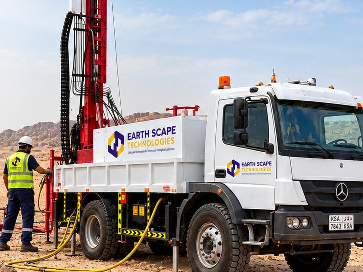
Reliable, Accurate Results
Precision Geotechnical Investigation for Diverse Project Needs
Subsurface Exploration & Sampling
Providing accurate in-situ testing and sampling to gather representative materials for detailed laboratory classification and testing.
Foundation Design & Stability Analysis
Delivering the critical data necessary for engineers to select and design safe, reliable, and cost-effective foundations.
Material & Construction Quality
Crucial for verifying the suitability of construction materials and monitoring ground conditions during the construction phase.
Hazard Assessment & Environmental Studies
Identifying potential ground risks and gathering data necessary for environmental and compliance reporting.
Ideal for Saudi Arabia's Infrastructure
Our geotechnical investigations are planned around your structure and site, from small plots to large infrastructure projects in the Kingdom.
Risk Mitigation
Identifying ground instability, unpredictable soil conditions, and potential seismic hazards before construction begins.
Economic Optimization
Accurate data prevents over-design or under-design, leading to significant savings in foundation and earthwork costs.
Clear Reporting
Logs, test results and interpretation presented clearly for your designer.
Diverse Coverage
Experience in all regional soil types, including the challenges posed by desert sands and coastal sabkha.
Integrated Approach
Seamlessly incorporating field investigation data with laboratory results and geophysical surveys.
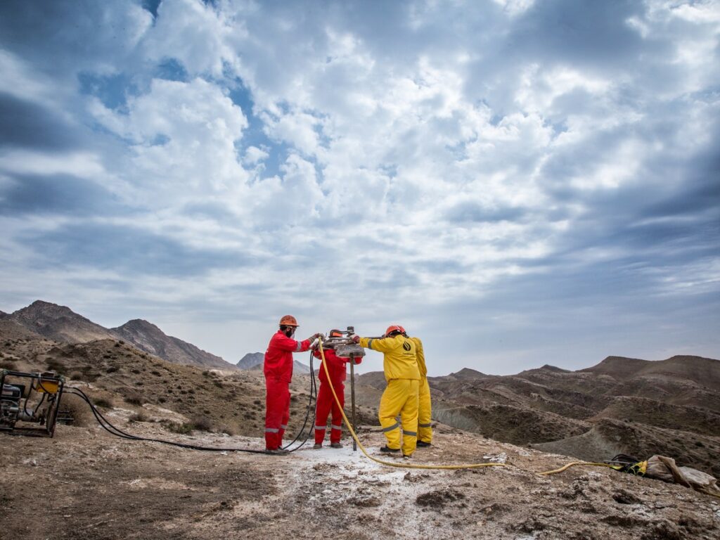
100+ Projects Completed
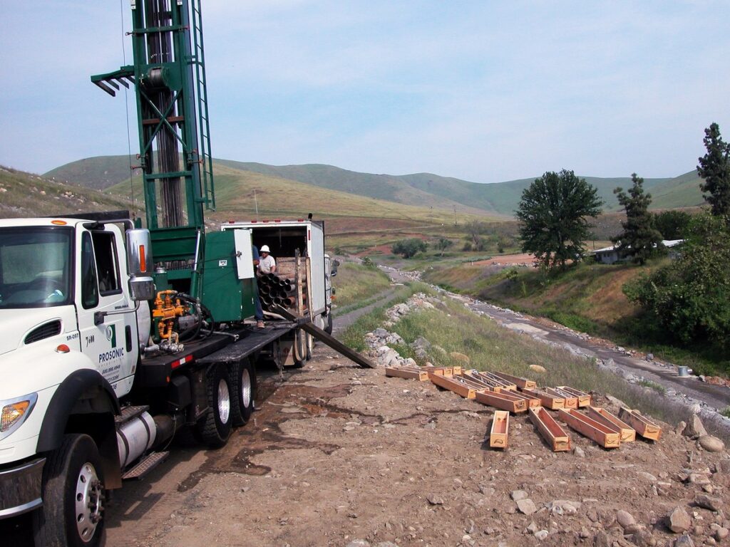
Why Choose Us
Geophysics + Direct Testing
We combine MASW, seismic and ERT with trial pits and sampling for a complete ground model.
Right Data for Design
Parameters for bearing capacity, settlement and excavation design.
Fewer, Better Boreholes
Geophysics shows where to drill, so fewer boreholes give more information.
Safe Site Work
Utility clearance before every pit or borehole, with trained field crews.
Get a Quote
Send us the site location, a drawing or Google Maps pin, and what you need to know. We usually reply with questions first, then a clear scope and price. Email info@earthscapesurvey.com or use the Get a Quote page.