Non-Destructive Surveys (NDS) in Saudi Arabia
GPR, electromagnetic, magnetic and seismic methods to see below ground and inside concrete without digging, across KSA.
Non-Destructive Surveying in Saudi Arabia
Digging a trench or breaking a slab just to find out what is inside costs time and money, and when it hits a live cable it costs much more. A non-destructive survey answers those questions from the surface. Earthscape provides non-destructive surveys across Saudi Arabia, using radar, electromagnetic, magnetic, seismic and resistivity methods to locate utilities, voids, rebar and buried objects without excavation. Our office is in Riyadh and our crews work throughout the Kingdom.
What Is a Non-Destructive Survey?
Non-destructive surveying (NDS), sometimes called non-destructive testing survey, is a group of methods that measure the ground or a structure from the surface. Each method reacts to a different property: radar to changes in material, EM locators to current in metal lines, magnetometers to steel, seismic to stiffness and resistivity to moisture and clay. No single tool finds everything, so on most jobs we use more than one and cross-check them.
Methods We Use
Ground Penetrating Radar
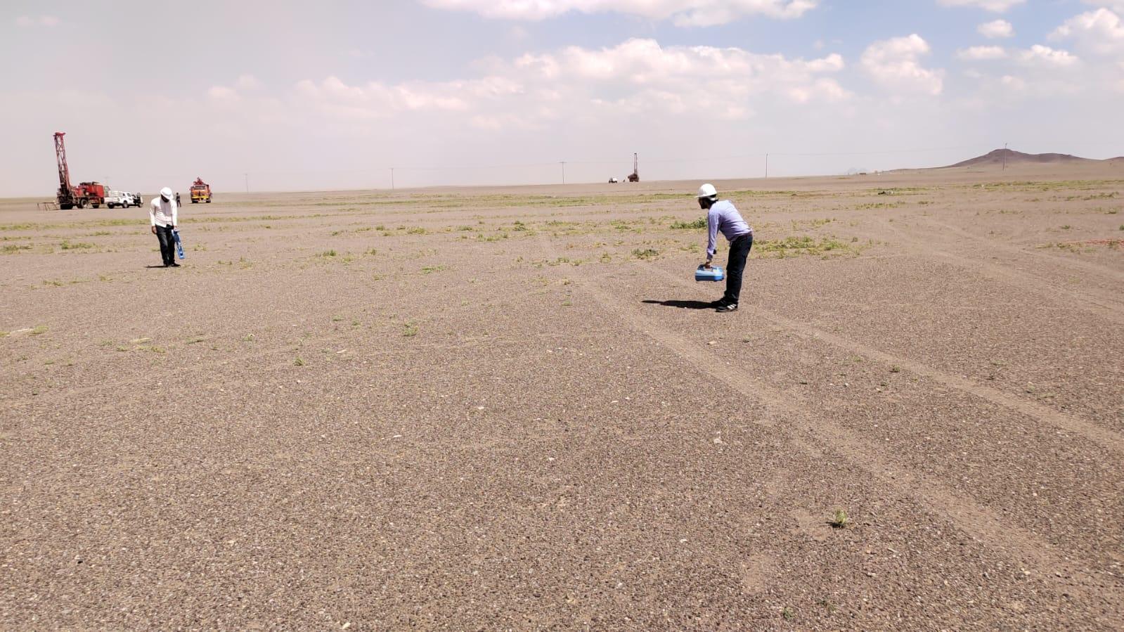
Our GPR is the GSSI 350 MHz HyperStacking system. It picks up metallic and non-metallic pipes, ducts, voids and old foundations, and gives depth estimates. Details on our GPR survey page.
Electromagnetic Cable and Pipe Locating
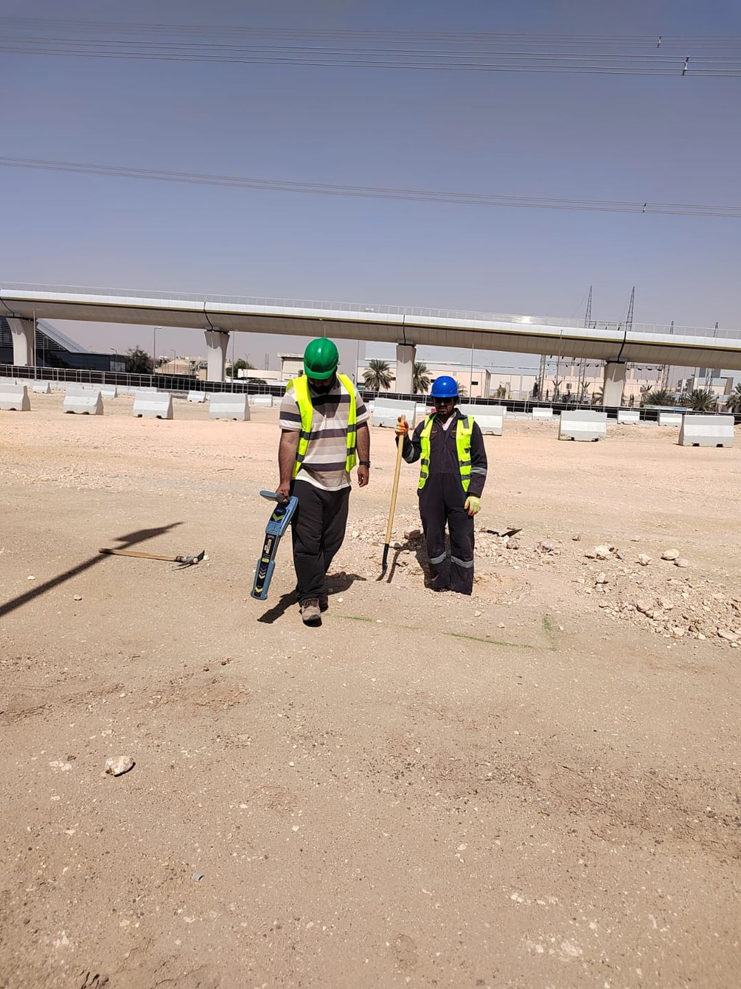
EM locators trace live power cables, telecom lines and metallic pipes, either passively or by putting a signal on the line. It is the quickest way to confirm a route. See cable and pipe locating.
Concrete and Rebar Scanning
Before coring, cutting or drilling anchors, we scan slabs, walls and columns to mark rebar, post-tension tendons and embedded conduits. See rebar and concrete scanning.
Magnetic Survey
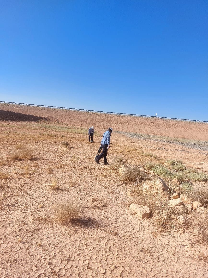
Useful for finding buried steel pipes, tanks, drums and debris over larger open areas. See magnetic survey.
Seismic and Resistivity Methods
For deeper ground questions such as layering, bedrock depth, stiffness and possible cavities we use MASW, seismic refraction and Electrical Resistivity Tomography (ERT).
Where Non-Destructive Surveys Help
- Before excavation: mapping utilities in congested streets, plants and compounds so digging can proceed safely.
- Utility mapping to PAS 128: structured surveys with clear quality levels. See PAS 128 utility survey.
- Renovation and fit-out: scanning concrete before openings and core holes.
- New construction: finding old foundations, tanks and obstacles before the design is fixed.
- Ground screening: looking for voids, soft areas and sinkhole risk. See cavity and sinkhole detection.
- Roads and slabs: checking layer thickness and voids under pavements without closing the whole area.
How We Choose the Methods
We start with your question: what are we looking for, how deep, and how sure do you need to be? Then we look at the site: soil type, moisture, surface (asphalt, concrete, sand), access and any records you have. Wet clay limits radar depth; dry sand suits it well. Plastic pipes are invisible to EM locators but often show on GPR. Matching the method to the target and ground is most of the skill in this work.
Working Safely on Live Sites
Much of our non-destructive work happens inside operating plants, busy streets and occupied buildings. Our crews follow the site permit system, work around traffic and operations, and keep the survey area tidy. Because nothing is dug or cut, there is no reinstatement afterwards and normal work can carry on around us.
Our Process on Site
- Desk review: collect available drawings and utility records.
- Site walk: note manholes, valves, cabinets and surface signs.
- Survey: run GPR grids, EM sweeps and other methods as planned.
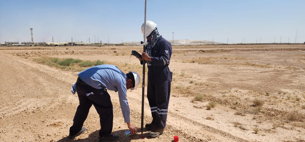
- Marking: spray-mark findings on the ground where requested.
- Positioning: survey all findings with GNSS or total station.
- Reporting: drawings and a short report with depths and confidence notes.
What You Receive
- Utility or feature plan in CAD on your coordinate system
- Depth information where the method allows
- Radargram examples and notes on confidence and limits
- Recommendations for trial holes to confirm critical lines (see trial pits)
Why Clients Choose Earthscape
Earthscape has 5+ years of field work in Saudi Arabia, 100+ projects and 40+ clients. Our 20+ experts each have 10+ years of experience. We are honest about what each method can and cannot see, because a survey that overstates its certainty is more dangerous than no survey at all.
Frequently Asked Questions
Can a non-destructive survey find every utility?
No method finds everything in all conditions. Combining GPR, EM locating and records gives the most complete picture, and trial holes confirm critical lines.
How deep can GPR see?
It depends on the soil. In dry sand our 350 MHz system can reach a few metres; in wet clay or saline ground the depth is less.
Will the survey disturb site operations?
Very little. Equipment is pushed or carried over the surface, so roads, plants and buildings can usually stay in use.
Do you mark findings on the ground?
Yes, we can spray-mark lines on site and also deliver a CAD drawing.
Get a Quote
Send us the site location, a drawing or Google Maps pin, and what you need to know. We usually reply with questions first, then a clear scope and price. Email info@earthscapesurvey.com or use the Get a Quote page.
Reliable, Accurate Results
Core NDS Capabilities
Ground Penetrating Radar (GPR)
High-resolution imaging to detect buried pipes, metallic and non-metallic cables, voids, and rebar in concrete structures.
Electromagnetic (EM) Induction
Locating conductive utilities like metallic pipes and live electrical cables for comprehensive utility mapping.
Concrete Scanning
Detailed analysis of concrete slabs, walls, and bridges to identify reinforcement, measure cover, and locate internal voids or major defects.
Ideal for Saudi Arabia's Infrastructure
Our NDS methods are crucial for various stages of development, maintenance, and compliance across the Kingdom:
Urban Development
Mapping congested underground utilities prior to digging to prevent costly strikes and service outages.
Infrastructure Maintenance
Assessing the structural integrity of roads, bridges, and tunnels without disruption.
New Construction Planning
Locating existing foundations, buried tanks, and unknown obstacles on-site investigations.
Environmental & Geotechnical
Detecting subsurface voids, soil anomalies, and geological features.
100+ Projects Completed