
Gravity & Microgravity Survey in Saudi Arabia
Detect cavities, voids and density changes underground with precise gravity and microgravity surveys across Saudi Arabia.
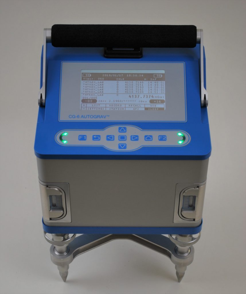
Cavities in limestone, old wells and loose ground can stay hidden beneath a site until a foundation settles or a road collapses. Gravity surveys find these problems from the surface by measuring tiny changes in the pull of gravity caused by differences in density. EarthScape Technologies carries out gravity and microgravity surveys across the Kingdom for cavity and sinkhole investigations, foundation design and geological mapping.
What Is a Gravity Survey?
A gravimeter measures the strength of gravity with extreme precision. Dense rock pulls slightly harder than lighter material, so an air-filled cavity, loose fill or a low-density zone shows up as a small gravity low. Microgravity surveys use closely spaced stations and corrections for elevation, terrain, instrument drift and earth tides to detect changes of just a few microgals.
Regional gravity surveys use wider station spacing to map larger geological structures such as basins, faults and changes in bedrock depth.
This service is part of our wider geophysical survey in Saudi Arabia services, which combine several methods when a project needs them.
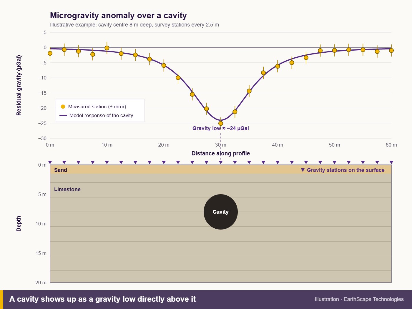
Our Method and Equipment
We review the site geology and expected targets, model the likely anomaly to confirm the method will work, then design the station grid. Every station is accurately levelled, because a height error of one centimetre changes gravity by about three microgals.
Readings are repeated at a base station through the day, then corrected and processed into residual anomaly maps and profiles that our geophysicists interpret.
Feasibility and Design
We model the expected anomaly and design station spacing to suit the size and depth of the target.
Gravimeter Acquisition
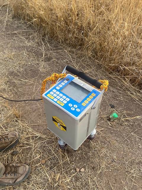
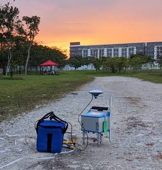
Readings are taken with a precision gravimeter at each station, with repeat readings for quality control.
Precise Levelling and Corrections
Station heights are surveyed accurately and the data is corrected for drift, tides, elevation and terrain.
Anomaly Maps and Interpretation
We produce residual gravity maps and profiles, and recommend targeted boreholes on significant anomalies.
In-House Geophysicists
Integrated Methods
Maps and CAD Drawings
5+ Years, 100+ Projects
Why Choose EarthScape?
Sectors We Serve
Gravity and microgravity surveys support construction, infrastructure, mining and oil and gas projects across Saudi Arabia, from building plots and road alignments in karst areas to regional geological studies.
Frequently Asked Questions
What is the difference between gravity and microgravity surveys?
Both measure changes in gravity. Microgravity surveys use very closely spaced stations and high-precision corrections to find small, shallow features such as cavities. Regional gravity surveys use wider spacing to map large geological structures.
Can a gravity survey find cavities under buildings?
Yes. Microgravity is one of the few methods that works well on floor slabs, basements and paved areas, as long as the mass of the building is included in processing.
How deep can microgravity detect a cavity?
It depends on the size of the cavity and its density contrast. Larger voids can be detected deeper. We model the expected anomaly before the survey to confirm the method suits your target.
Does traffic or machinery affect the results?
Yes. Vibration adds noise to the readings, so busy sites are often surveyed at quieter times or at night.
Does a gravity survey replace boreholes?
No. It shows where the ground is suspicious so boreholes can be placed on real anomalies, which usually reduces the number of boreholes needed.
Book a Gravity Survey
Worried about cavities or sinkholes on a site anywhere in Saudi Arabia? Call +966 55 679 8661 or +966 53 875 9468, email info@earthscapesurvey.com, or contact our team. You can also read our guide to microgravity surveys for cavity detection.