
Magnetic Survey in Saudi Arabia
Find buried ferrous metal and map geological structures with fast magnetic surveys across Saudi Arabia.
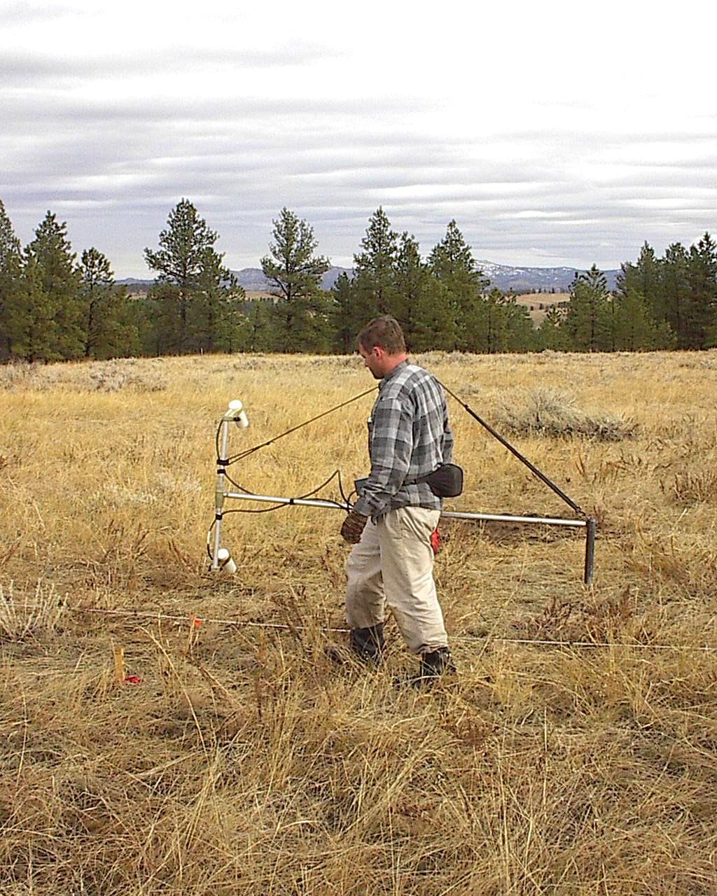
Buried tanks, drums, old foundations and abandoned pipes are often missing from records, yet they can stop excavation, contaminate ground or damage equipment. A magnetic survey is one of the fastest geophysical methods for finding buried ferrous metal over large areas, and it is also widely used to map geological structures. EarthScape Technologies carries out magnetic surveys across the Kingdom, including Riyadh, Jeddah, Dammam, Makkah and Madinah, from our head office in Riyadh.
What Is a Magnetic Survey?
A magnetometer measures the strength of the Earth’s magnetic field. Ferrous objects such as steel pipes, tanks and drums, as well as some rock types, distort this field locally and create a “magnetic anomaly.” By measuring the field at regular intervals across a site and mapping the results, our geophysicists can locate anomalies and interpret their likely cause.
Non-ferrous utilities are found with a GPR survey or cable and pipe locating.
Total-Field and Gradiometer Surveys
- Total-field surveys measure the overall strength of the magnetic field and suit larger-scale geological mapping.
- Gradiometer surveys measure the difference between two sensors and are especially sensitive to shallow, buried objects while reducing the effect of regional and daily field changes.
Our Method and Equipment
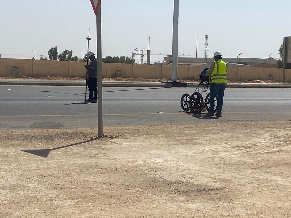
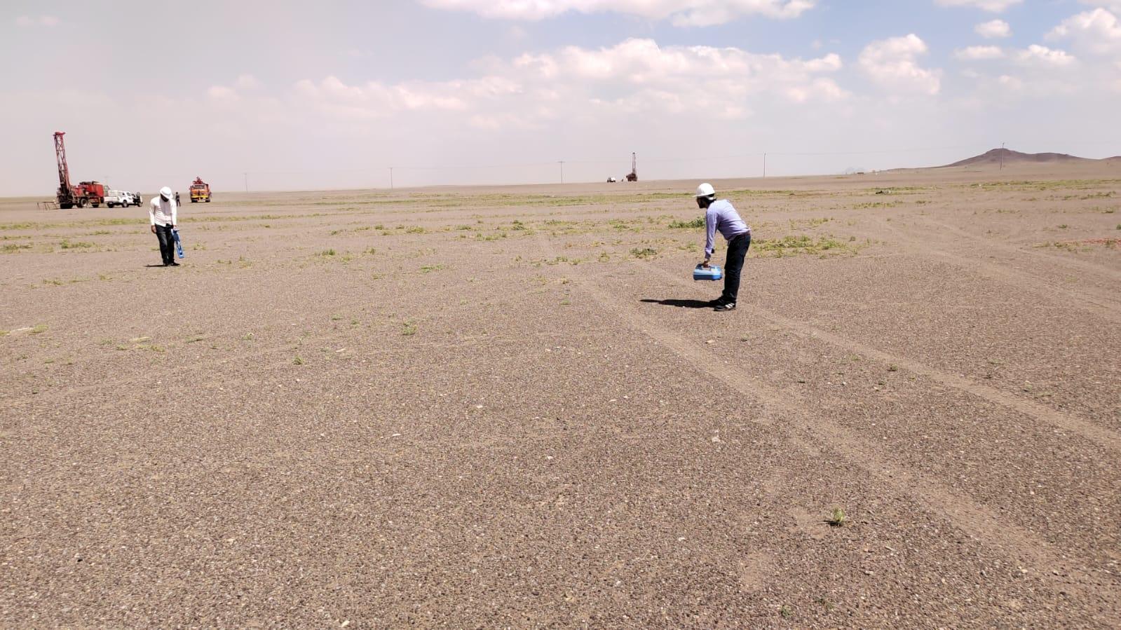
We start with a desk review of the site and its history, then design a grid or line spacing suited to the size of the targets. Our geophysicists acquire data with magnetometer or gradiometer instruments, with positions recorded by GNSS so every reading is accurately located.
Where needed, a base station records daily changes in the Earth’s magnetic field so they can be removed during processing. Our data analysts then filter and grid the data, produce anomaly maps and interpret the results.
Because no single method answers every question, we often combine magnetic surveys with other techniques: ground penetrating radar to image shape and depth, electrical resistivity tomography (ERT) for geology and contamination, and trial pits to confirm what an anomaly really is.
When Do You Need a Magnetic Survey?
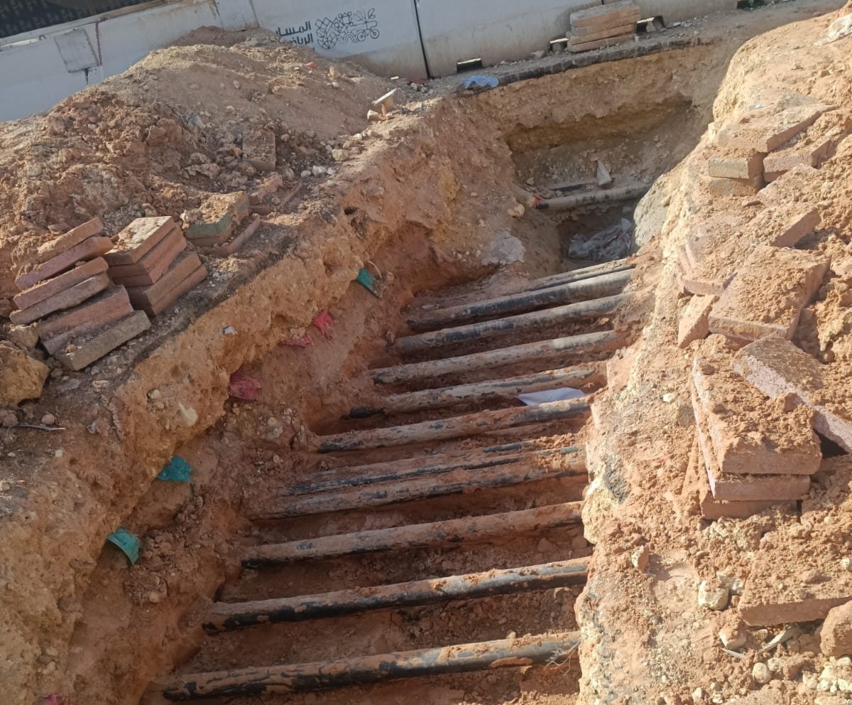
- Locating buried metallic tanks, drums and debris before development
- Tracing steel pipelines and well casings where records are incomplete
- Screening sites for buried ferrous objects before excavation or drilling
- Mapping geological structures such as faults, dykes and changes in rock type
- Supporting mineral exploration and mining studies
- Environmental investigations of former industrial or waste sites
Deliverables
- Color-contoured magnetic anomaly maps
- Interpretation plans showing likely buried objects, pipes and geological features
- Target lists with coordinates for investigation
- AutoCAD drawings on your project coordinate system
- A technical report covering methods, data quality, interpretation and limitations
Quality and Limitations
Magnetic surveys detect ferrous materials and magnetic rocks. They do not detect plastic, aluminum, copper or most non-metallic objects. Surface metal, fences, vehicles, power lines and reinforced concrete create strong interference, so busy urban sites need careful planning and interpretation. Target depth and size are estimates. We describe the confidence of each interpretation and recommend verification where it matters. Screening for unexploded ordnance (UXO) risk is specialist work, and our results are not a UXO clearance certificate.
This service is part of our wider geophysical survey in Saudi Arabia services, which combine several methods when a project needs them.
Desk Review and Design
We start with a desk review of the site and its history, then design a grid or line spacing suited to the size of the targets.
Magnetometer Acquisition
Our geophysicists acquire data with magnetometer or gradiometer instruments, with positions recorded by GNSS so every reading is accurately located.
Base Station Corrections
Where needed, a base station records daily changes in the Earth’s magnetic field so they can be removed during processing.
Anomaly Maps
Our data analysts filter and grid the data, produce anomaly maps and interpret the results.
In-House Geophysicists
Integrated Methods
Maps and CAD Drawings
5+ Years, 100+ Projects
Why Choose EarthScape?
Sectors We Serve
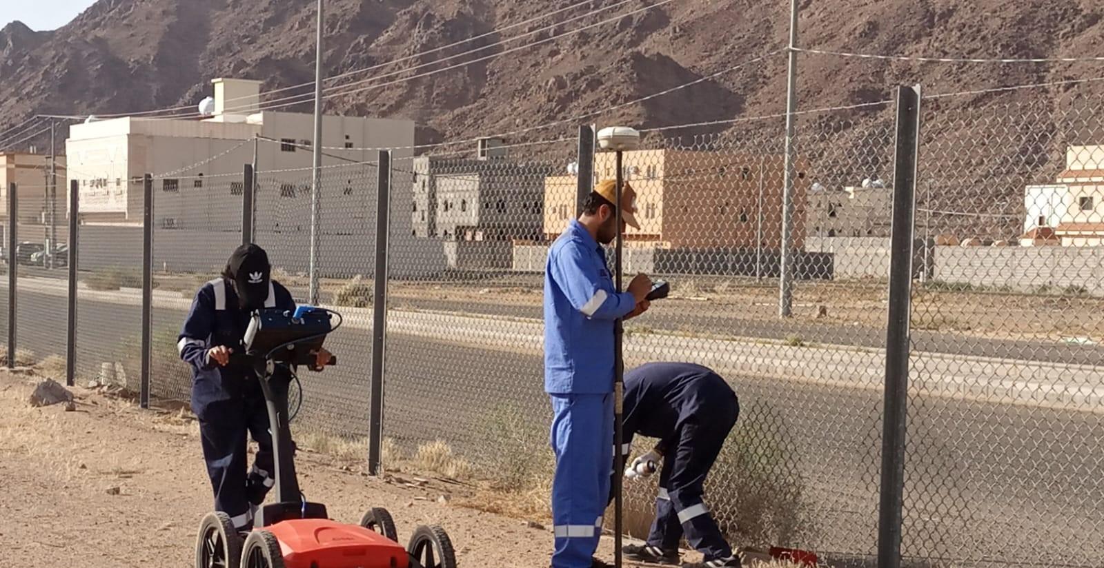
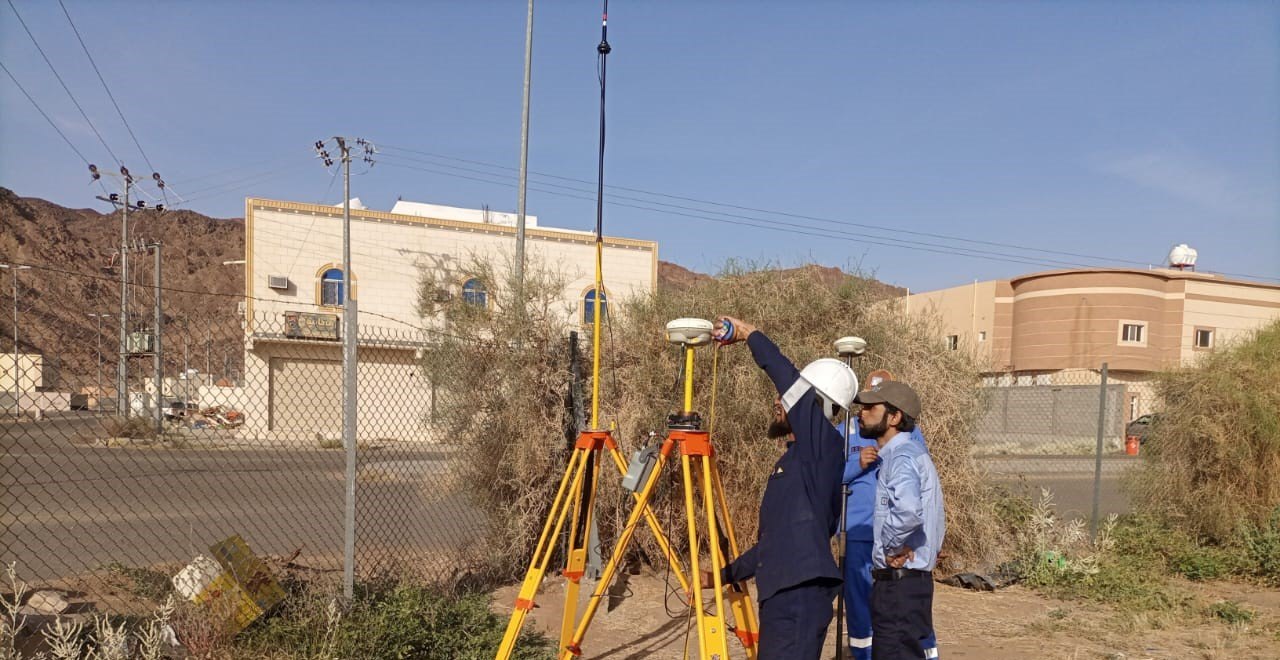
We support construction, energy, mining and environmental projects across Saudi Arabia. Our team has worked on sites ranging from international airports to residential developments, including industrial and open desert areas.
Frequently Asked Questions
What can a magnetic survey detect?
Mainly ferrous metal objects, such as steel pipes, tanks, drums and debris, plus geological features with different magnetic properties.
Can a magnetic survey find plastic pipes?
No. Plastic does not affect the magnetic field. GPR is usually the better method for non-metallic pipes.
How deep can a magnetometer detect objects?
It depends on the size and mass of the object. Larger objects can be detected at greater depths than small ones. Depths in our report are estimates.
Does surface metal affect the results?
Yes. Fences, vehicles, rebar and surface debris create interference. We record these features and plan lines to reduce their effect.
Is a magnetic survey the same as UXO clearance?
No. A magnetic survey can identify ferrous anomalies, but UXO risk assessment and clearance require specialist contractors and procedures.
Book a Magnetic Survey
Need to find buried metallic objects or map geology on a site anywhere in Saudi Arabia? Call +966 55 679 8661 or +966 53 875 9468, email info@earthscapesurvey.com, or contact our team to discuss your project.