
CAD Drafting and BIM Services for Survey Data in Saudi Arabia
Clean CAD drawings and BIM models from survey and geophysical data, delivered to your standards.
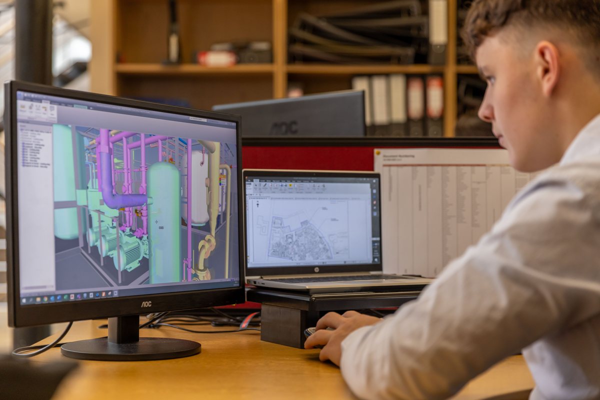
Survey data is only useful when designers and contractors can open it, trust it and use it straight away. EarthScape Technologies provides CAD drafting and BIM services that turn survey, geophysical and utility data into clean 2D drawings and 3D models built to your standards. We serve clients across Saudi Arabia (KSA), including Riyadh, Jeddah, Dammam, Makkah and Madinah, from our office in Riyadh.
What We Do
Our CAD and BIM team works alongside our surveyors, geophysicists and data analysts, so drawings are prepared by people who understand how the data was collected. We prepare deliverables from our own surveys and can also tidy, convert and model survey data supplied by others.
Survey and Utility Drafting
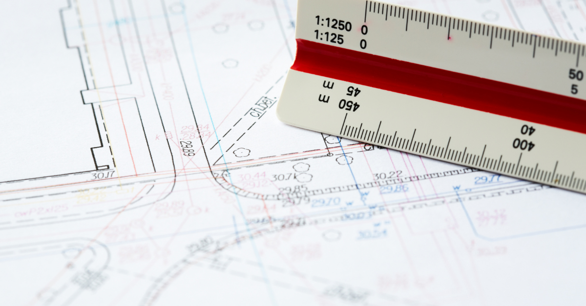
- Underground utility drawings with type, size, estimated depth and quality level from a PAS 128 utility survey
- Topographic plans with levels, contours, breaklines and surface features from a topographic survey
- As-built drawings for roads, buildings, networks and site works
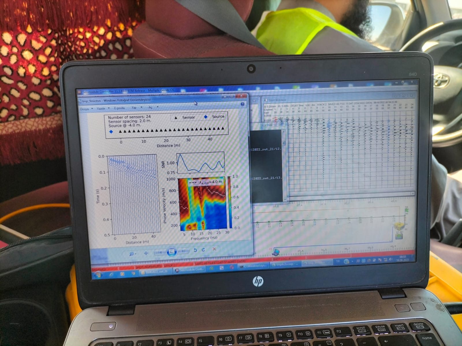
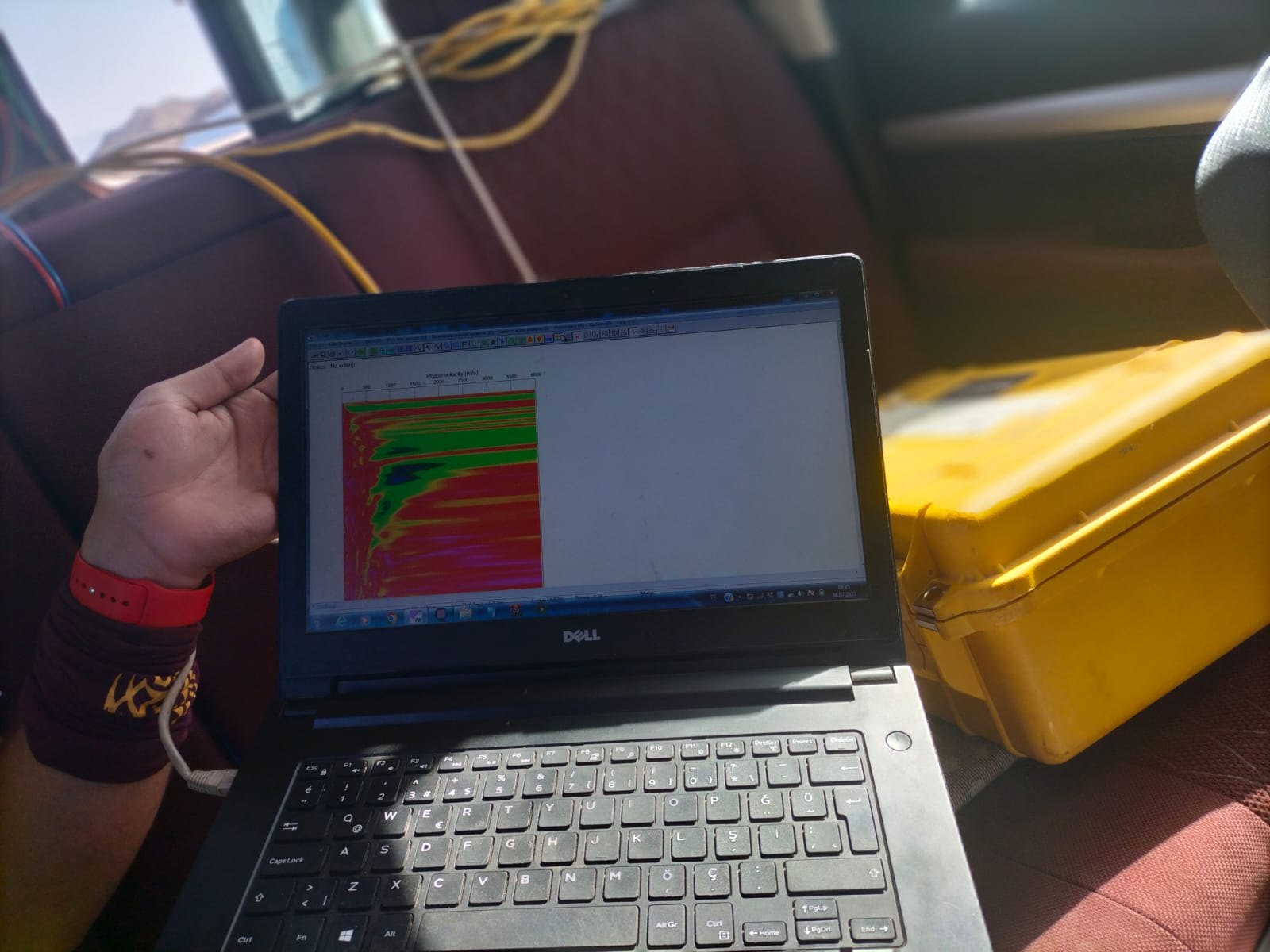
- Geophysical results such as GPR, Electrical Resistivity Tomography (ERT), MASW and seismic sections presented as clear plans and sections
3D Models and BIM
- 3D utility models with pipes, ducts, chambers and attributes
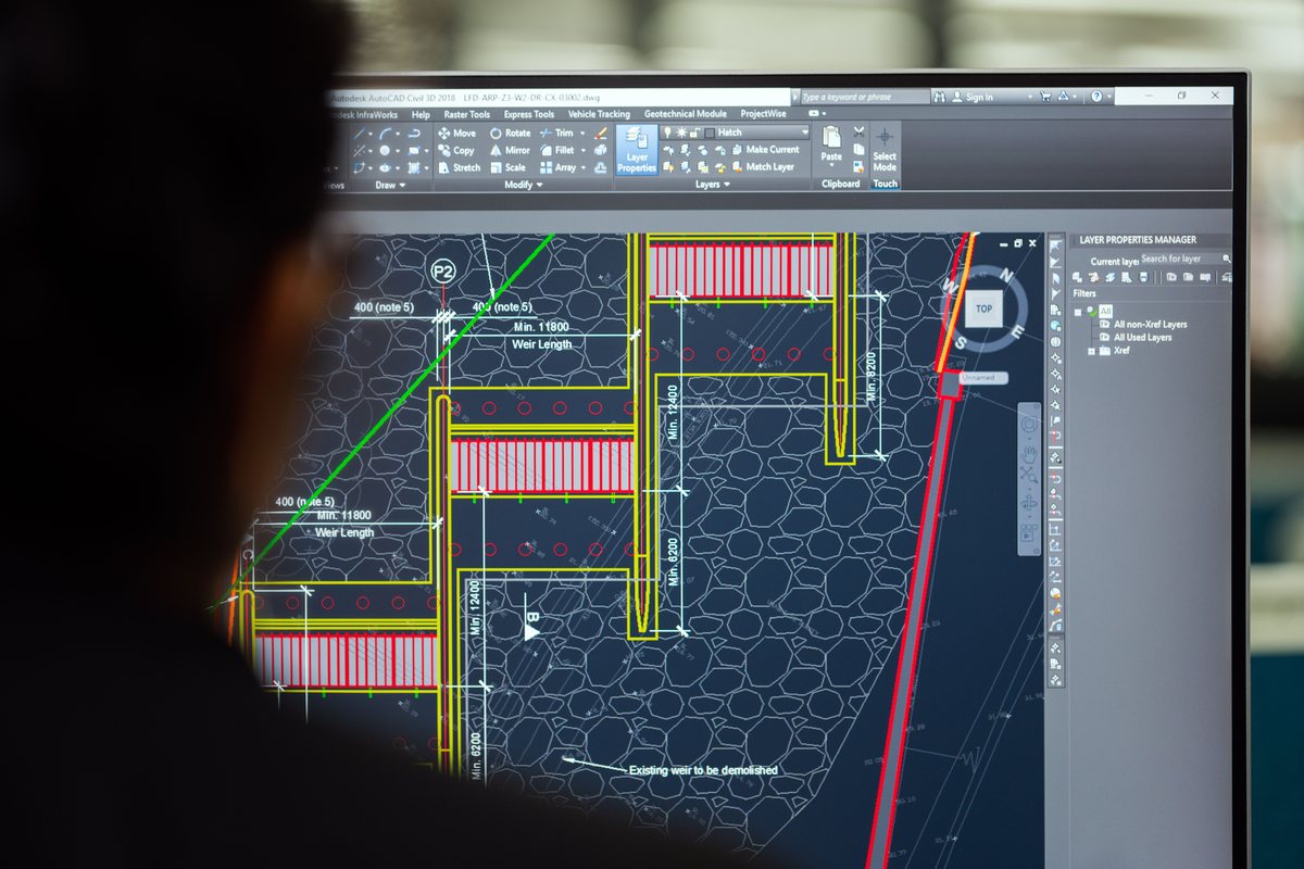
- Surfaces, alignments and profiles in Civil 3D
- Models prepared for BIM Level 1/2 workflows and federated design models
- Point-cloud-based models from 3D laser scanning
Our Method
- Issue: files are delivered in the agreed formats with a drawing register.
When Do You Need CAD Drafting and BIM Services?
- When survey data must match a client, consultant or authority CAD standard
- When designers need utilities and existing features in 3D for clash detection
- When legacy drawings are inconsistent, poorly layered or in the wrong coordinate system
- For handover packages and as-built records at project completion
Deliverables
- DWG and DXF drawings with organised layers and clean blocks
- Civil 3D surfaces, alignments, profiles and pipe networks
- PDF drawing sets with title blocks for review and approval
- 3D models in formats agreed with you for BIM coordination
- Point lists, LandXML and other exchange formats on request
Quality Control
Every deliverable goes through a check before issue. We compare drawings with the field data, check coordinates and levels, confirm that layers and annotation follow the agreed standard, and make sure attribute data in models is complete. Comments from your team are tracked and closed out in revised issues.
Benefits of Using One Team
- Fewer errors between field data and drawings
- Faster answers when questions come up about the data
- Consistent standards across survey, utility and geophysical drawings
Agree the standard
we confirm layer names, colours, line types, text styles, blocks, title blocks and coordinate system before drafting begins.
Prepare the data
survey points, codes and geophysical interpretations are checked and imported.
Draft and model
drawings and models are built in AutoCAD and Civil 3D with consistent layer management.
Check
each drawing is reviewed against the field data and the agreed standard, including layers, annotation and coordinates.
One Team, Survey to BIM
Drawings to Your Standards
5+ Years, 100+ Projects
Nationwide, Riyadh-Based
Why Choose EarthScape?
Sectors We Serve
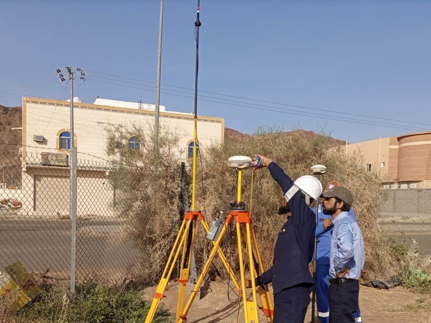
We support construction, energy, mining and environmental projects, from international airports to residential sites. Typical clients include design consultants, contractors and developers who need survey data ready for design and coordination.
Frequently Asked Questions
Can you draft survey data collected by another company?
Yes. We can check, tidy, convert and model survey data supplied by others, and we will tell you if we find gaps or inconsistencies in the data.
Which software do you use?
Drawings and models are produced in AutoCAD and Civil 3D. Other exchange formats, such as DXF, PDF and LandXML, are available on request.
Can you work to our CAD standard?
Yes. We confirm your layer names, styles, blocks, title blocks and coordinate system before drafting starts and check every drawing against them.
Do you provide 3D utility models?
Yes. We model pipes, ducts and chambers in 3D with attributes so designers can use them for coordination and clash checks.
Do you serve clients outside Riyadh?
Yes. We provide CAD drafting and BIM services for projects across all regions of Saudi Arabia (KSA).
Request a CAD and BIM Quote
Tell us about your site, the scope and any drawings you have, and our team will reply with a proposal. We serve projects across Saudi Arabia (KSA) from our office in Riyadh.
- Phone: +966 55 679 8661
- Phone: +966 53 875 9468
- Phone: +966 58 288 4362
- Email: info@earthscapesurvey.com