
GPR Survey (Ground Penetrating Radar) in Saudi Arabia
Non-Invasive 3D Imaging to Detect Buried Utilities, Voids, and Structures in KSA.
Home / GPR Survey (Ground Penetrating Radar)
GPR Survey Services Across Saudi Arabia
Digging, drilling or piling without knowing what is underground puts people, services and schedules at risk. A GPR survey gives you a clear picture of the subsurface before work starts, without breaking the ground. EarthScape Technologies carries out ground penetrating radar surveys across Saudi Arabia (KSA) from our office in Riyadh, for contractors, consultants, developers and asset owners.
What Is a GPR Survey?
Ground penetrating radar (GPR) is a non-invasive geophysical method. A GPR antenna sends short pulses of high-frequency radio energy into the ground or into a structure. When a pulse meets a change in material, such as a pipe, cable, void, rebar or soil layer, part of the energy is reflected back to the antenna. The system records the time and strength of each reflection and builds an image of what lies below the surface.
Because GPR responds to changes in material rather than to metal alone, it can detect both metallic and non-metallic targets, including plastic pipes, concrete ducts and empty conduits that cable locators cannot trace.
What Can a GPR Survey Detect?
- Buried utilities: water, sewer and drainage pipes, power and telecom cables, ducts and fiber routes, metallic and non-metallic.
- Voids and cavities: washouts below slabs and pavements, and shallow cavities that can threaten foundations.
- Structures in concrete: rebar, post-tension cables and embedded conduits (see our GPR concrete scanning service).
- Pavement layers: layer thickness and changes in road and yard construction.
- Buried features: old foundations, tanks, chambers and backfilled excavations.
When Do You Need a GPR Survey?
- Before excavation, trenching, piling or directional drilling
- During design, to show existing services on the base drawings
- Before coring or cutting concrete slabs and walls
- When record drawings are missing, old or unreliable
- When settlement, sinkholes or voids are suspected under a site
Our Method
1. Desk Study and Planning
We review available record drawings and agree the survey area, targets and deliverables with you. GPR antenna frequency is chosen to suit the target: higher frequencies give more detail near the surface, lower frequencies reach deeper.
2. Field Data Collection
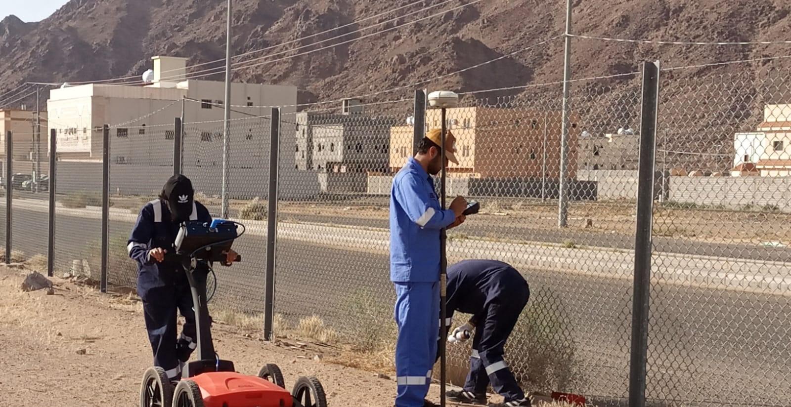
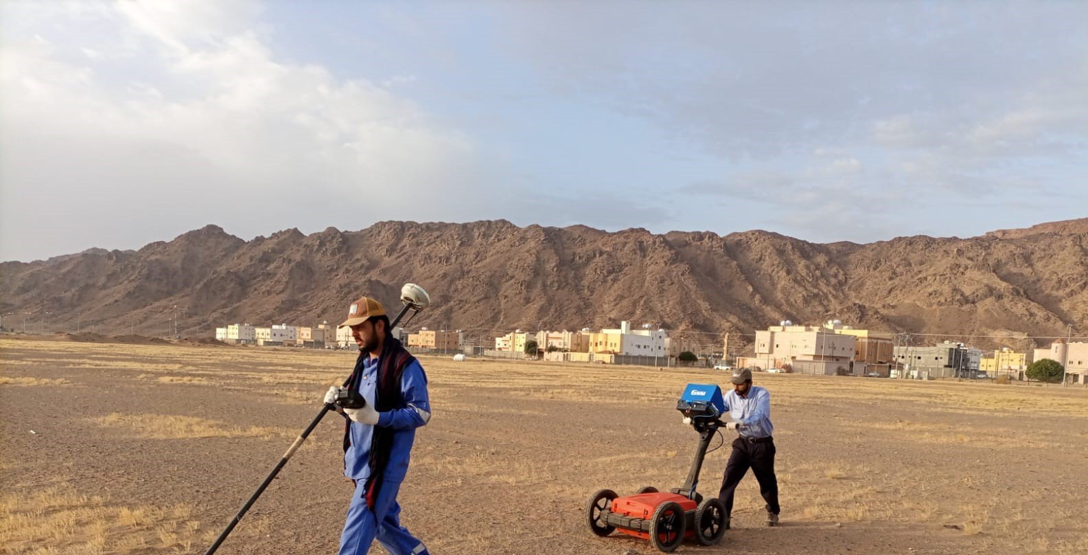
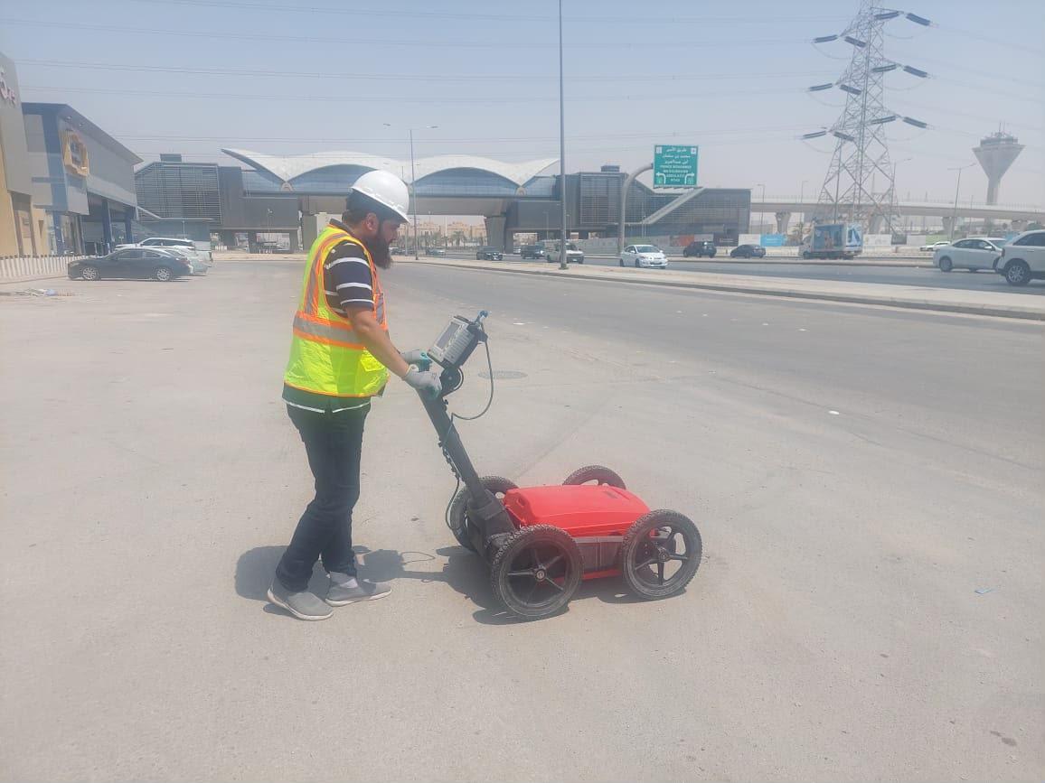
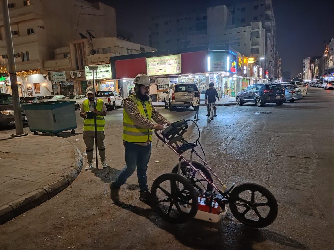
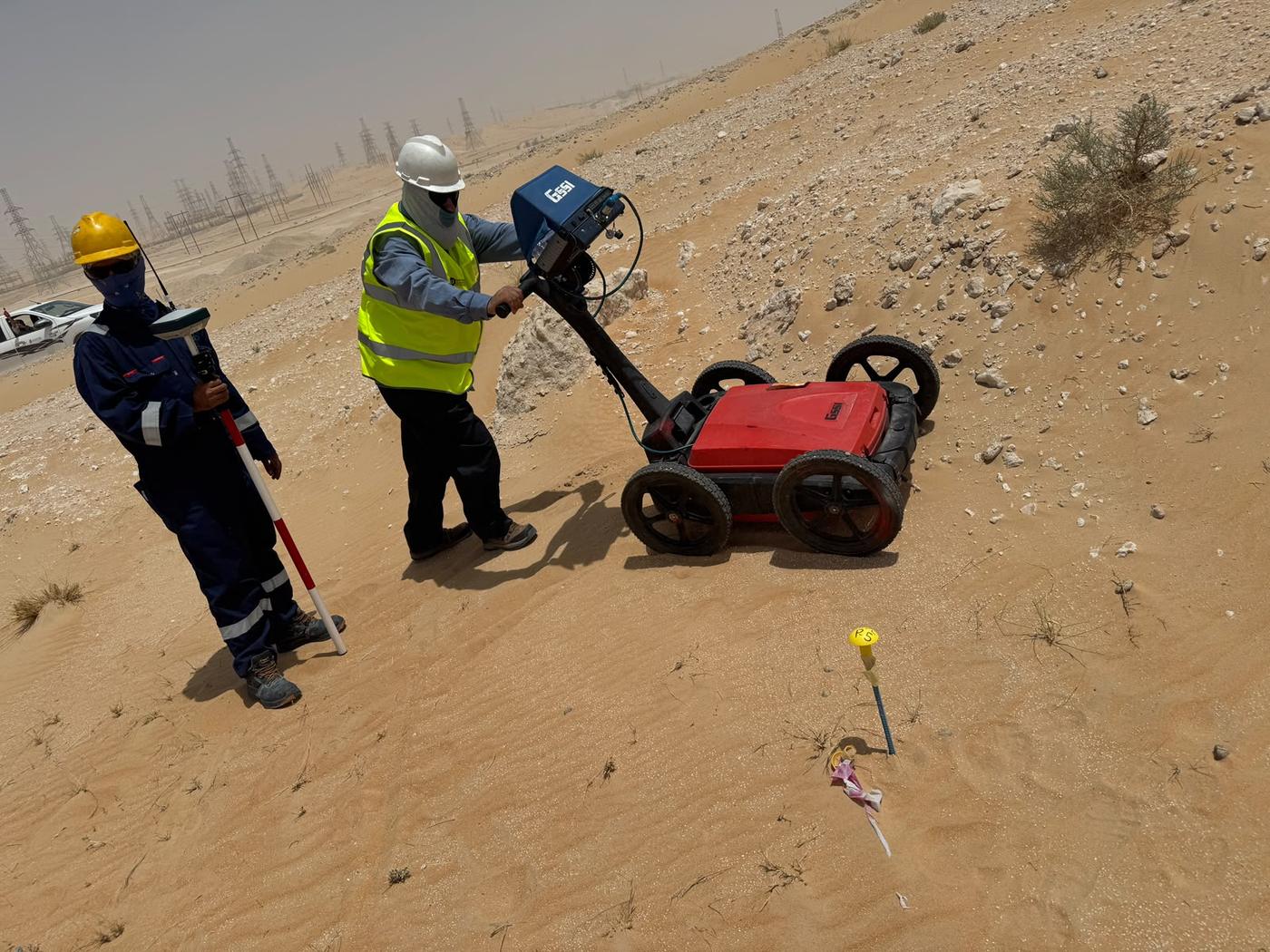
Our team scans the site along planned grid lines or traverses. For utility mapping, GPR is combined with electromagnetic cable and pipe locating so that live cables and metallic pipes are traced and confirmed. Positions are measured with GNSS or total stations so every detected feature has coordinates.
3. Processing and Interpretation
Our geophysicists and data analysts process the radar data, interpret each feature and estimate its depth. Findings are checked against the electromagnetic results and any visible surface evidence such as manholes and valves.
4. Reporting and Drawings
Results are delivered as clear CAD drawings and a report. Where a recognised framework is required, the work can be delivered as a PAS 128 utility survey, with critical points verified by trial pits.
Deliverables
- On-site marking of detected utilities and features with paint or pegs
- Georeferenced 2D drawings in AutoCAD on your project coordinate system
- 3D utility models where required, for design and clash checks
- Radargram images of key findings
- A written report with method, findings, estimated depths and limitations
Accuracy and Limitations
GPR performance depends on ground conditions. Dry sand and many desert soils allow good penetration, while wet, clay-rich or saline ground absorbs the radar signal and reduces depth. Small or very deep targets, and areas with heavy surface clutter, are harder to resolve. Depths are estimates based on the signal velocity in the ground. We state these limitations clearly in every report and recommend trial pit verification where certainty is critical.
Why Choose EarthScape?
- In-house geophysicists, surveyors, engineers and CAD staff in one team
- GPR combined with cable locating, topographic survey and CAD in one package
- Clear reports that state what was found and what could not be confirmed
- 5+ years of experience, 20+ experts, 40+ clients and 100+ projects delivered
Frequently Asked Questions
How deep can a GPR survey see?
It depends on the antenna frequency and the ground. In dry sandy soils GPR can typically detect utilities several metres deep, while wet, clay-rich or saline ground reduces the depth. We choose the antenna to suit your targets and state the achieved depth in the report.
Can GPR detect plastic pipes?
Yes. GPR detects changes in material, so it can find plastic, concrete and other non-metallic pipes and ducts that electromagnetic locators cannot trace. Detection depends on pipe size, depth and ground conditions.
Is a GPR survey safe and non-destructive?
Yes. GPR uses low-power radio pulses and does not need any digging, drilling or contact with the services. It is safe for people, structures and live utilities.
Do you survey outside Riyadh?
Yes. Our office is in Riyadh, and we carry out GPR surveys for projects across all regions of Saudi Arabia (KSA).
What information do you need for a GPR survey quote?
The site location, the area or route length, what you need to find, any available drawings and your required deliverables. Send these to info@earthscapesurvey.com or call us and we will reply with a proposal.
Request a GPR Survey Quote
Tell us about your site, the scope and any drawings you have, and our team will reply with a proposal. We serve projects across Saudi Arabia (KSA) from our office in Riyadh.
- Phone: +966 55 679 8661
- Phone: +966 53 875 9468
- Phone: +966 58 288 4362
- Email: info@earthscapesurvey.com
Reliable, Accurate Results
Where We Use GPR
EarthScape deploys GPR with various frequency antennas to achieve optimal depth and clarity for highly specialized applications:
Utility Detection & Mapping
Accurately locate both metallic and non-metallic underground services, including water pipes, fiber optic cables, gas lines, and sewer conduits before any drilling or digging.
Concrete Scanning & Inspection
Scan slabs, bridges, and structural elements to find rebar, post-tension cables, embedded conduits, and internal voids for structural integrity assessment.
Pavement & Road Analysis
GPR measures pavement layer thickness and shows changes, voids and wet areas in the road structure, so repairs can be planned where they are needed.
Geological & Void Detection
Identify shallow geological features, measure depth to bedrock, and map natural or man-made subsurface cavities (voids and sinkholes) that pose risks to foundations.
Ideal for Saudi Arabia's Infrastructure
GPR supports every stage of a project in the Kingdom, from early design to construction and maintenance:
Geo-referenced 2D/3D Maps
Provides engineers with precise, measurable coordinates for every detected target.
Real-Time Data Output
Enables immediate decision-making during sensitive field operations.
Detailed Report Interpretation
Clear analysis of detected features (depth, material, risk level) by geophysicists.
Maximum Safety
Prevents costly and dangerous strikes on critical utilities, protecting personnel and infrastructure.
100+ Projects Completed
Recent GPR Survey Projects in Saudi Arabia
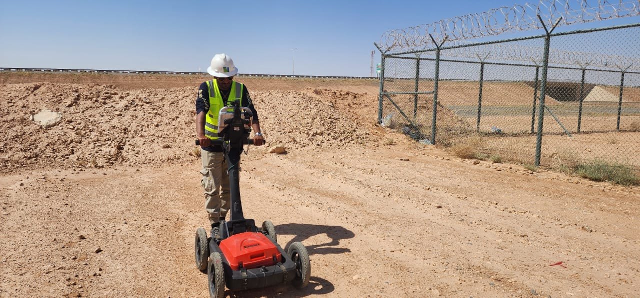
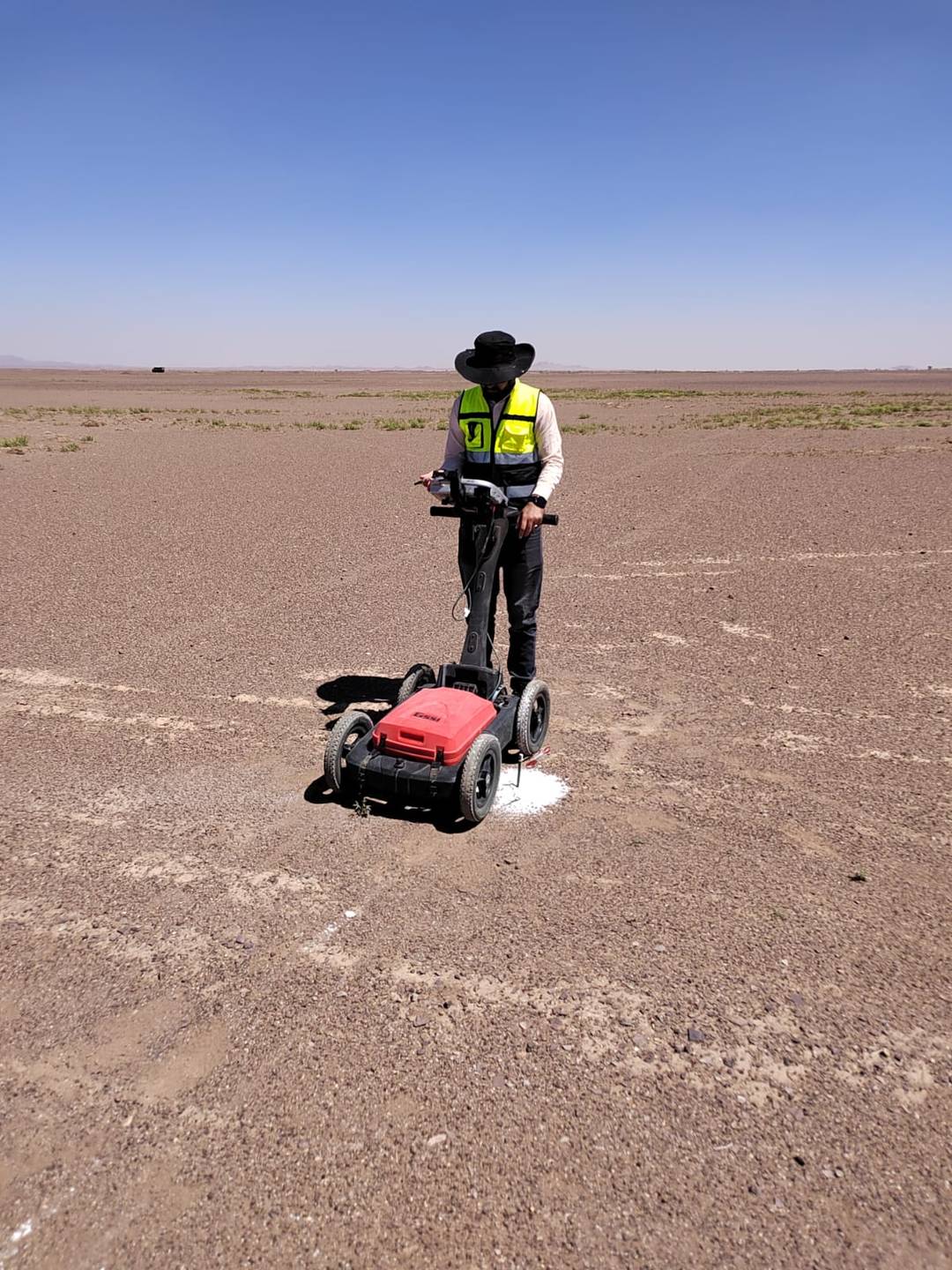
Our engineers run GPR utility surveys on live city streets, at night to avoid traffic, and across open desert sites.
See more field photos in our survey project portfolio.
Need a survey anywhere in Saudi Arabia? Get a quote today.
Email info@earthscapesurvey.com or call +966 55 679 8661.