EarthScape Survey+966 55 679 8661
Englishالعربية
Services

Topographic & Geophysical Survey Services in Saudi Arabia

From utility detection and GPR scanning to seismic, MASW, topographic and geotechnical investigations, Earthscape delivers accurate subsurface and site data for projects across the Kingdom. Our engineers each bring 10+ years of field experience and work with the latest equipment, including the GSSI 350 MHz HyperStacking GPR, so you can design, dig and build with confidence. Choose a service below, or get in touch and we’ll recommend the right survey for your project.

Get a Quote

GPR and Utility Survey in Saudi Arabia - Earthscape

GPR & Utility Survey

  • GPR Survey
  • PAS 128 Utility Survey
  • Cable & Pipe Locating
  • Rebar & Concrete Scanning
  • Trial Pits
Learn More →
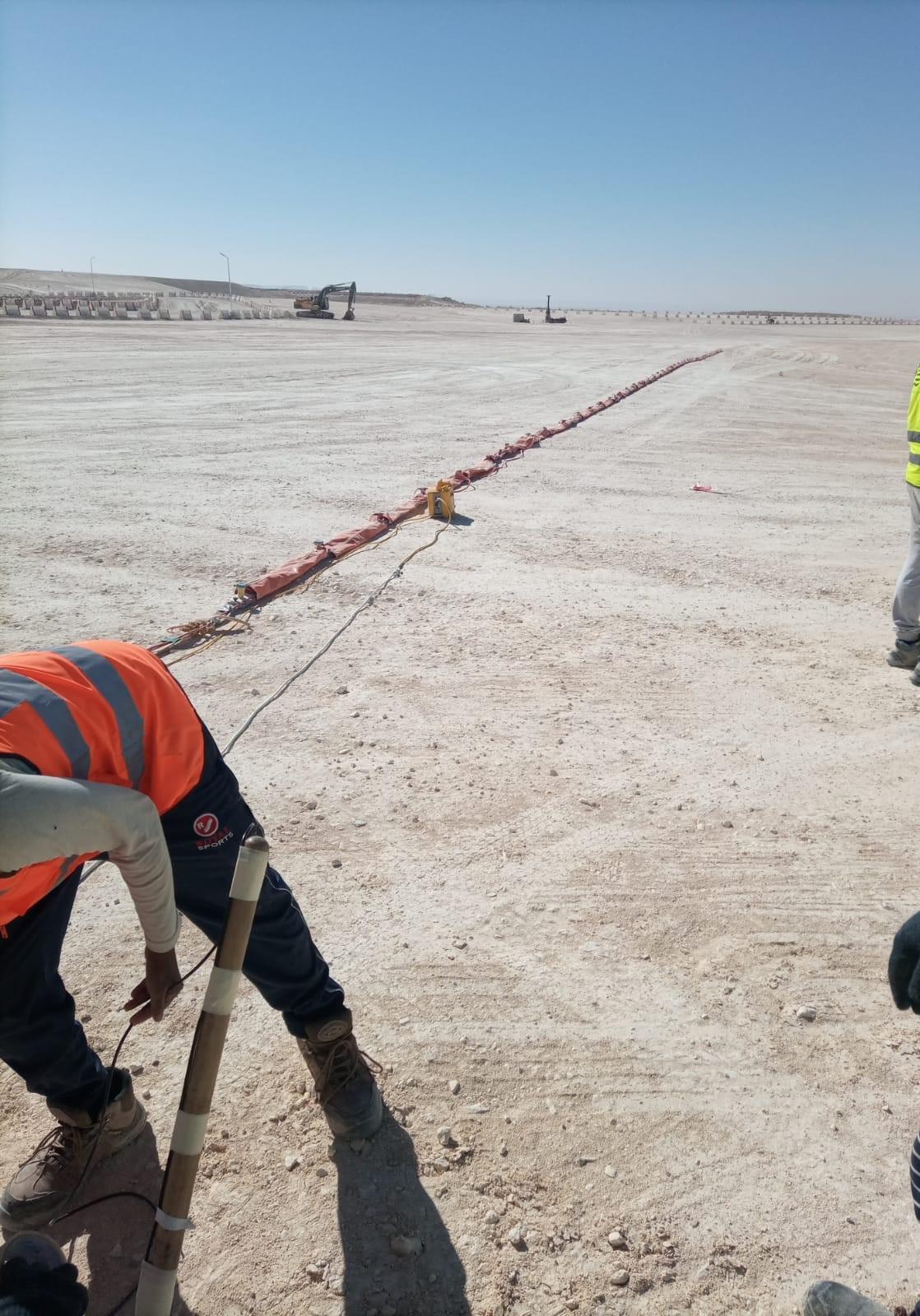
Geophysical Survey in Saudi Arabia - Earthscape

Geophysical Survey

  • Seismic Refraction
  • MASW Survey
  • Electrical Resistivity Tomography (ERT)
  • Magnetic Survey
  • Gravity & Microgravity Survey
Learn More →
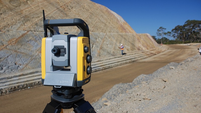
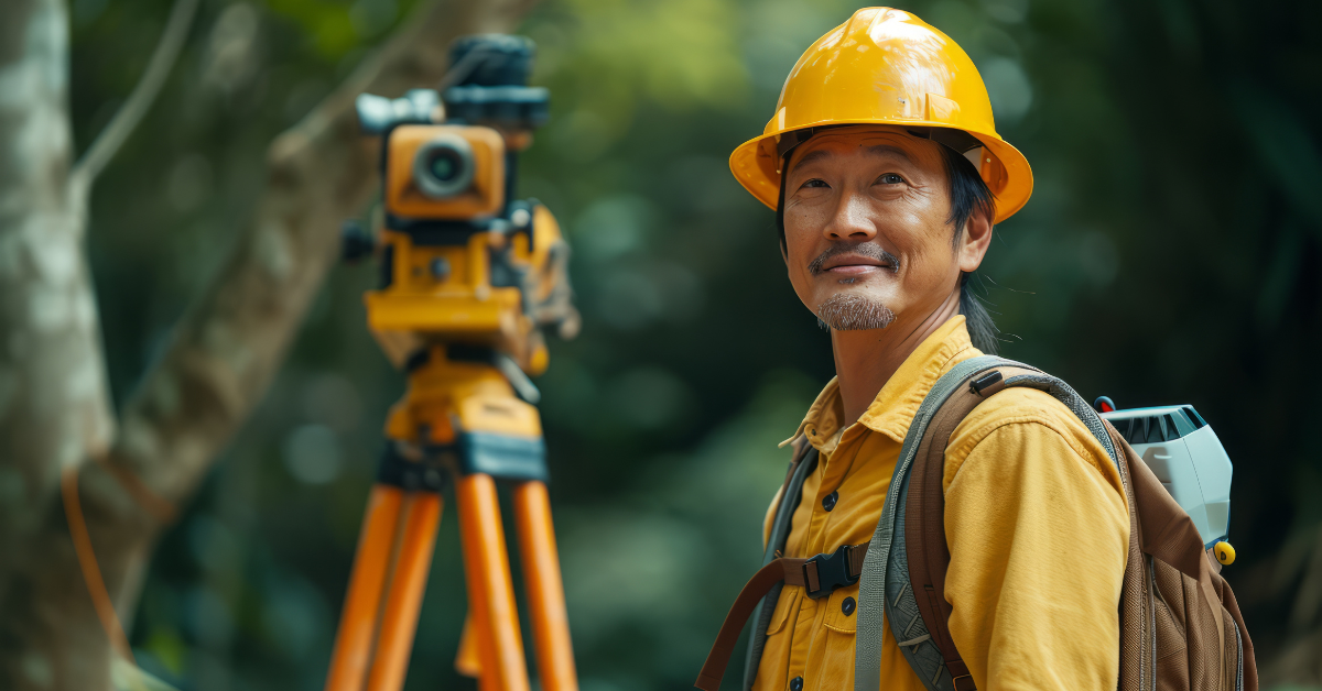
Topographic Survey in Saudi Arabia - Earthscape

Topographic Survey

  • Topographic Survey
  • Drone Survey
  • 3D Laser Scanning
  • Setting Out & As-Built
  • Mobile Mapping
Learn More →
Non-Destructive Surveys in Saudi Arabia - Earthscape

Non-Destructive Surveys

  • Ground Penetrating Radar (GPR)
  • Electromagnetic (EM) Locating
  • Concrete Scanning
  • Magnetic Survey
  • Seismic & Resistivity Methods
Learn More →
Geotechnical Investigation in Saudi Arabia - Earthscape

Geotechnical Investigation

  • Subsurface Exploration & Sampling
  • Foundation Design & Stability Analysis
  • Material & Construction Quality
  • Hazard Assessment & Environmental Studies
  • Geophysics + Direct Testing
Learn More →
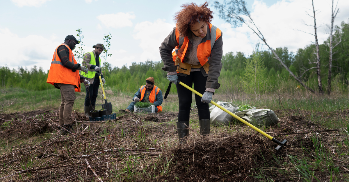
Environmental Studies in Saudi Arabia - Earthscape

Environmental Studies

  • Baseline Studies
  • Soil Studies & Soil Stabilization
  • Water & Saltwater Infiltration Analysis
  • Moisture Content Testing
  • Contamination Screening
  • Support for EIA
Learn More →
Hydrographic Survey in Saudi Arabia - Earthscape

Hydrographic Survey

  • Bathymetry
  • Side-Scan Sonar
  • Sub-Bottom Profiling
  • Positioning & Tides
  • Pre- & Post-Dredging Surveys
Learn More →
CAD and BIM Drafting in Saudi Arabia - Earthscape

CAD & BIM Drafting

  • Survey & Utility Drafting
  • As-Built Drawings
  • 3D Utility Models
  • Civil 3D Surfaces, Alignments & Profiles
  • Point-Cloud-Based Models
Learn More →

How We Work

  • Understand the question: we start with what you need to know and how the results will be used.
  • Choose the right methods: one method is rarely enough, so we combine survey and geophysical methods where it adds value.
  • Collect and check: field data is collected by our own teams and checked before leaving site.
  • Deliver clearly: results come as CAD drawings and reports that state findings and limitations.

Why Choose EarthScape?

  • Geophysicists, surveyors, engineers and CAD staff in one company
  • One point of contact for surface, subsurface and drafting work
  • 5+ years of experience, 20+ experts, 40+ clients and 100+ projects delivered
  • Serving all regions of Saudi Arabia from our Riyadh office

Frequently Asked Questions

Which survey do I need for my project?

It depends on what you need to know. Tell us about the site, the planned works and any drawings you have, and we will recommend the right service or combination of services.

Can you combine several services in one project?

Yes. Many projects combine a topographic survey with a utility survey, or several geophysical methods, so results are delivered together on one coordinate system.

Do you work outside Riyadh?

Yes. Our office is in Riyadh and we serve projects across all regions of Saudi Arabia (KSA).

In what format are results delivered?

Usually as AutoCAD/Civil 3D drawings, PDF drawing sets and a written report. Other formats, such as 3D models or point clouds, can be agreed.

How do I request a quote?

Call +966 55 679 8661, +966 53 875 9468 or +966 58 288 4362, or email info@earthscapesurvey.com with the site location, scope and any drawings.

Request a Survey Quote

Tell us about your site, the scope and any drawings you have, and our team will reply with a proposal. We serve projects across Saudi Arabia (KSA) from our office in Riyadh.

Contact us for a quote

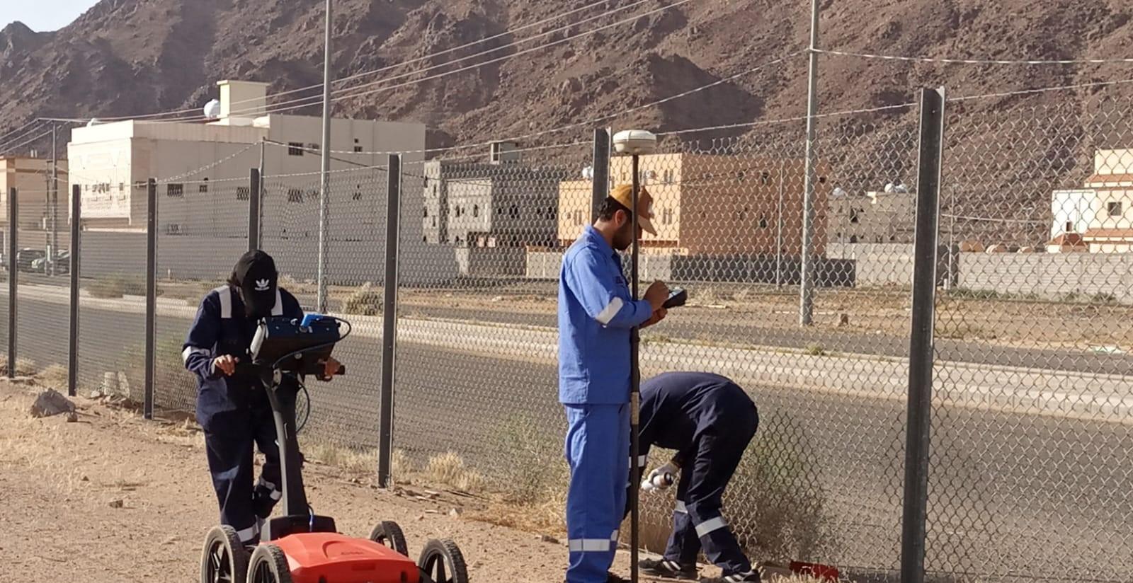
GPR survey team scanning for buried utilities with a GPR cart and GNSS rover in Saudi Arabia

Survey Teams Across Saudi Arabia

One team for GPR, geophysics, topographic surveys and CAD, from site visit to final drawings.

  • Client logo – Saudi Aramco
  • Client logo – Saudi Electricity Company
  • Client logo – National Water Company
  • Client logo – Saudi Water Authority
  • Client logo – Maaden
  • Client logo – Royal Commission for Jubail and Yanbu
  • Client logo – Marafiq
  • Client logo – Red Sea Global
  • Client logo – Worley
  • Client logo – Khatib & Alami
Scroll to Top