
Mobile Mapping Survey in Saudi Arabia
Survey roads, streets and corridors at traffic speed with vehicle-mounted LiDAR, 360° imagery and GNSS/IMU.
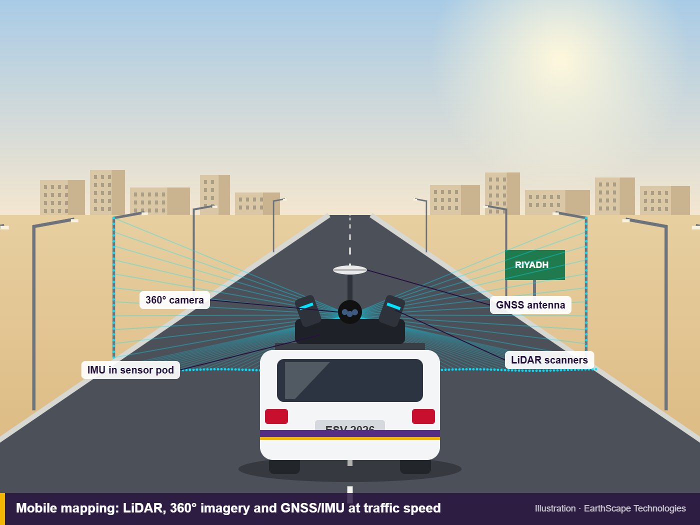
Surveying a long road with a total station means weeks of work and crews standing in live traffic. Mobile mapping captures the whole corridor from a moving vehicle in a fraction of the time: every kerb, lane marking, sign, pole, manhole cover and building facade, as an accurate 3D point cloud with matching 360° photos. EarthScape Technologies provides mobile mapping as part of our topographic survey services across Saudi Arabia, controlled and checked with GNSS and total station so the results are ready for design.
What Is Mobile Mapping?
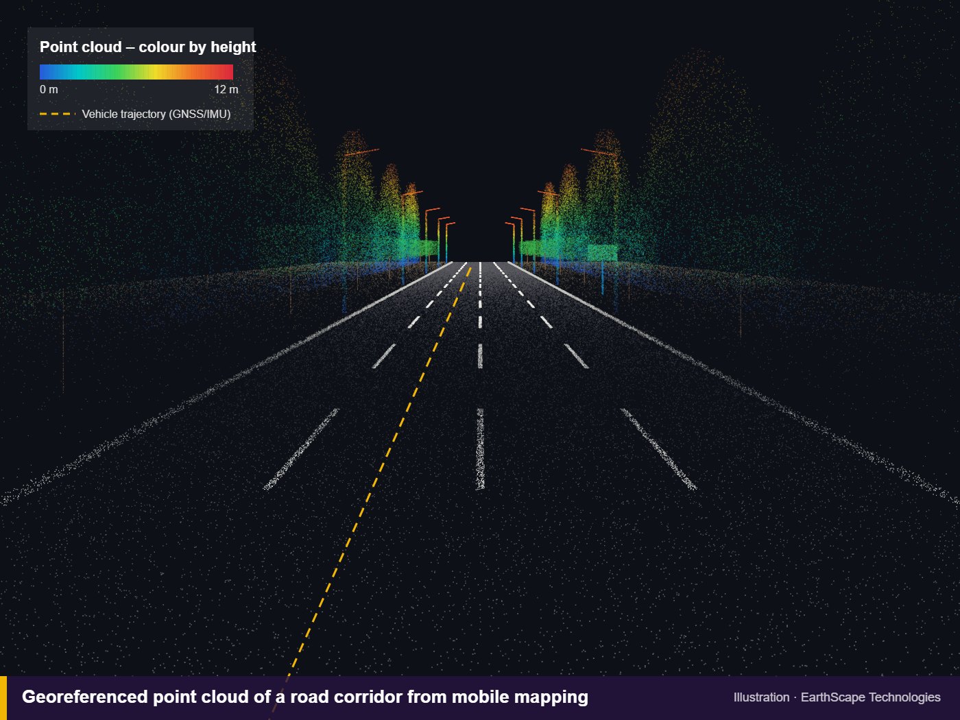
A mobile mapping system mounts laser scanners (LiDAR), cameras, GNSS receivers and an inertial measurement unit (IMU) on a vehicle. As the vehicle drives, the scanners record hundreds of thousands of points per second while GNSS and the IMU track the exact position and orientation of the vehicle. Software combines everything into one georeferenced point cloud and panoramic imagery of the route.
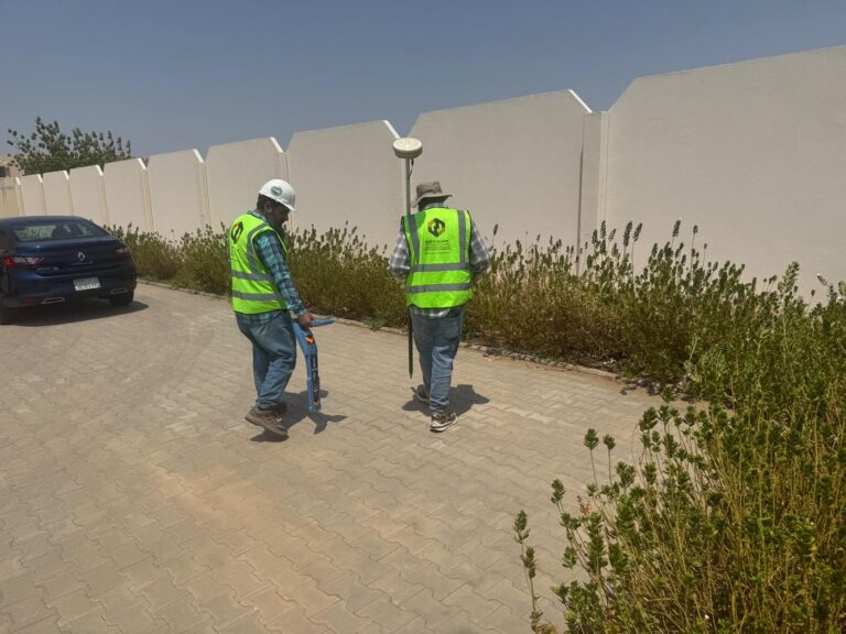
Ground control points surveyed along the corridor tie the data to your project coordinate system and confirm its accuracy.
Our Method and Equipment
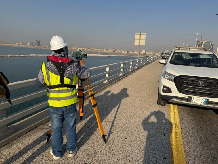
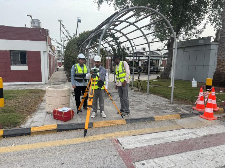
We plan the route, driving times and ground control before mobilising, then capture the corridor in one or more passes depending on road width and the detail required. Control points are measured with GNSS and total station along the route.
In the office the point cloud is adjusted to control, cleaned and classified, and the features you need are extracted into CAD drawings, 3D models or GIS layers.
Route and Control Planning
We plan the route, survey times and ground control points so the data meets the accuracy your design needs.
Vehicle-Mounted Capture
LiDAR, 360° cameras and GNSS/IMU capture the full corridor at normal driving speed, with minimal disruption to traffic.
Adjustment and Quality Checks
The point cloud is adjusted to surveyed control points and checked against independent check points.
Drawings and Models
We extract kerbs, levels, assets and road surfaces into CAD, 3D models and GIS, and supply the point cloud and imagery.
In-House Survey Team
Integrated Methods
Design-Ready Deliverables
5+ Years, 100+ Projects
Why Choose EarthScape?
Sectors We Serve
Mobile mapping suits road and highway authorities, municipalities, utility companies, consultants and contractors working on road upgrades, urban regeneration, asset inventories and infrastructure corridors anywhere in Saudi Arabia.
Frequently Asked Questions
How accurate is mobile mapping?
With ground control points along the route, accuracy of a few centimetres is achievable, which suits most road design and asset work. We state the achieved accuracy in our report.
How fast can a corridor be surveyed?
The vehicle captures data at normal traffic speeds, so long corridors can be covered quickly. Processing and drafting take longer than the drive itself.
What deliverables do I get?
Point clouds (LAS/LAZ or E57), CAD drawings (DWG), 3D models, GIS asset layers and 360° imagery with a viewer, depending on your brief.
Does mobile mapping show underground utilities?
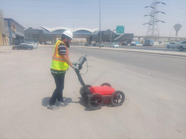
No. It records visible features and covers only. Buried services need a GPR and utility survey, which we can carry out on the same project.
When is a drone or static laser scanner better?
Drones suit open areas and earthworks seen from above, and static laser scanners suit detailed structures such as bridges and interchanges. We often combine methods on one project.
Book a Mobile Mapping Survey
Need a road, street or corridor mapped anywhere in Saudi Arabia? Call +966 55 679 8661 or +966 53 875 9468, email info@earthscapesurvey.com, or contact our team to discuss your project. You can also read our guide to mobile mapping surveys.