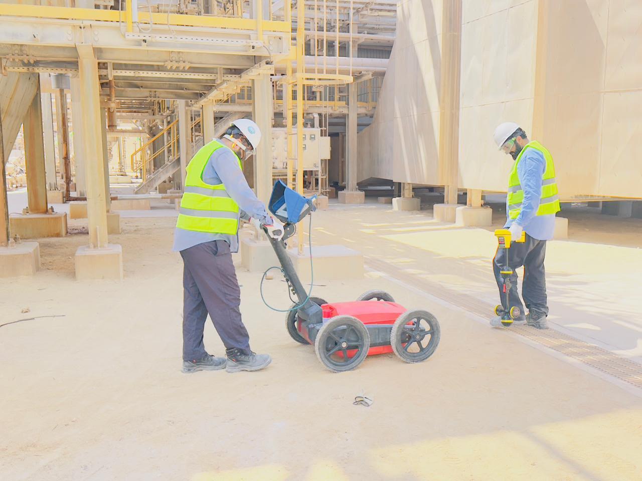
GPR and Utility Detection Surveys
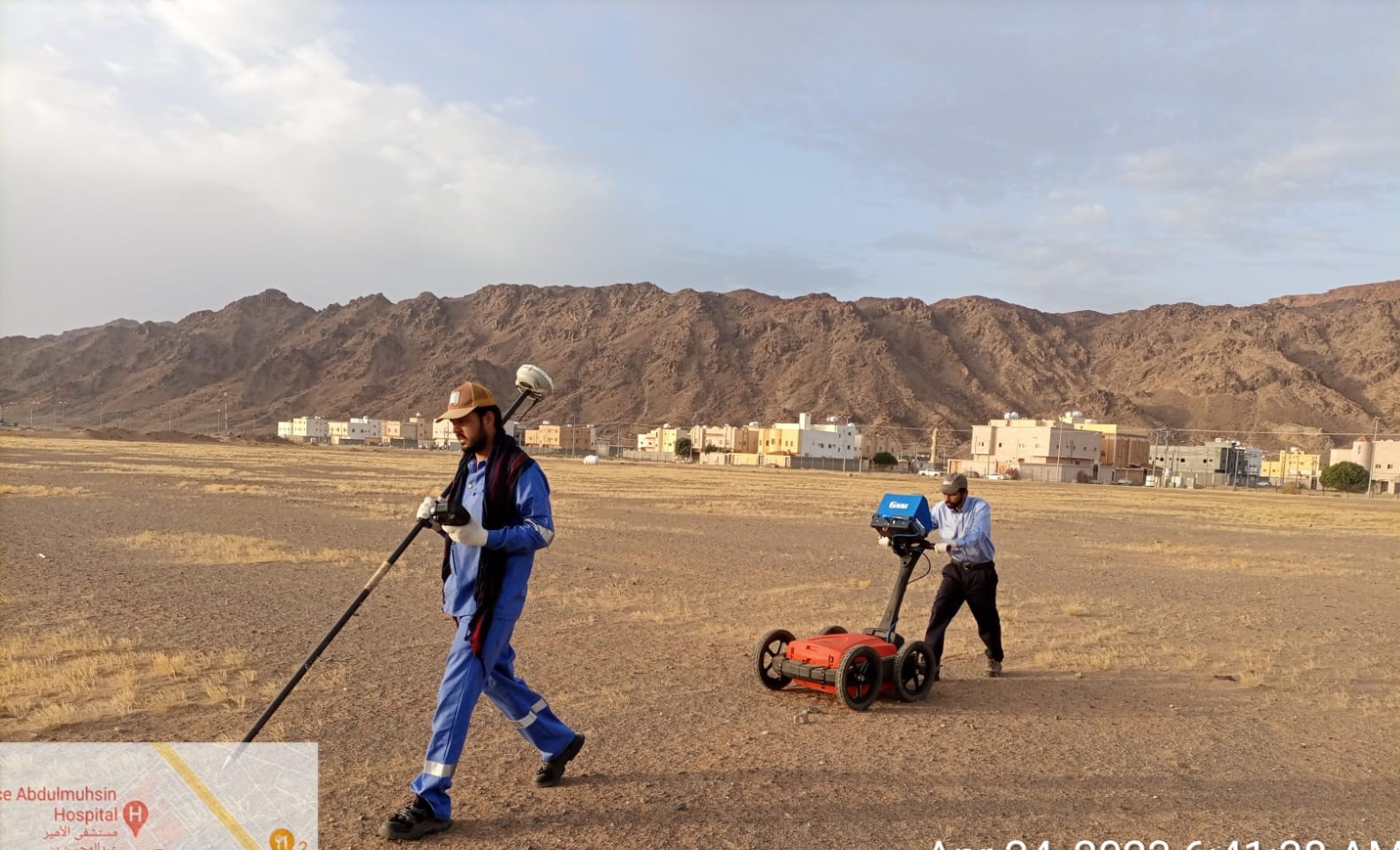
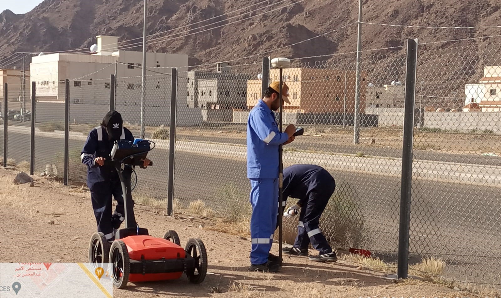
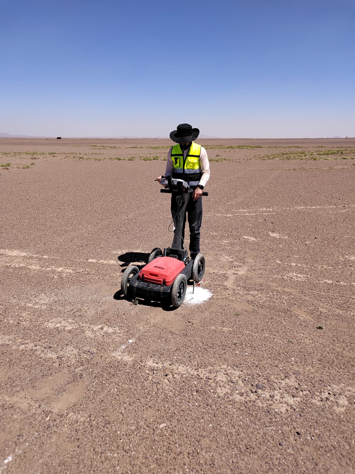
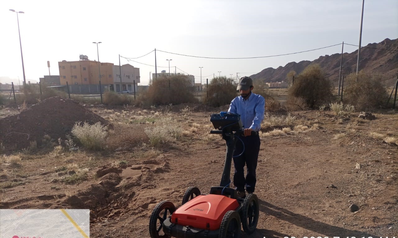
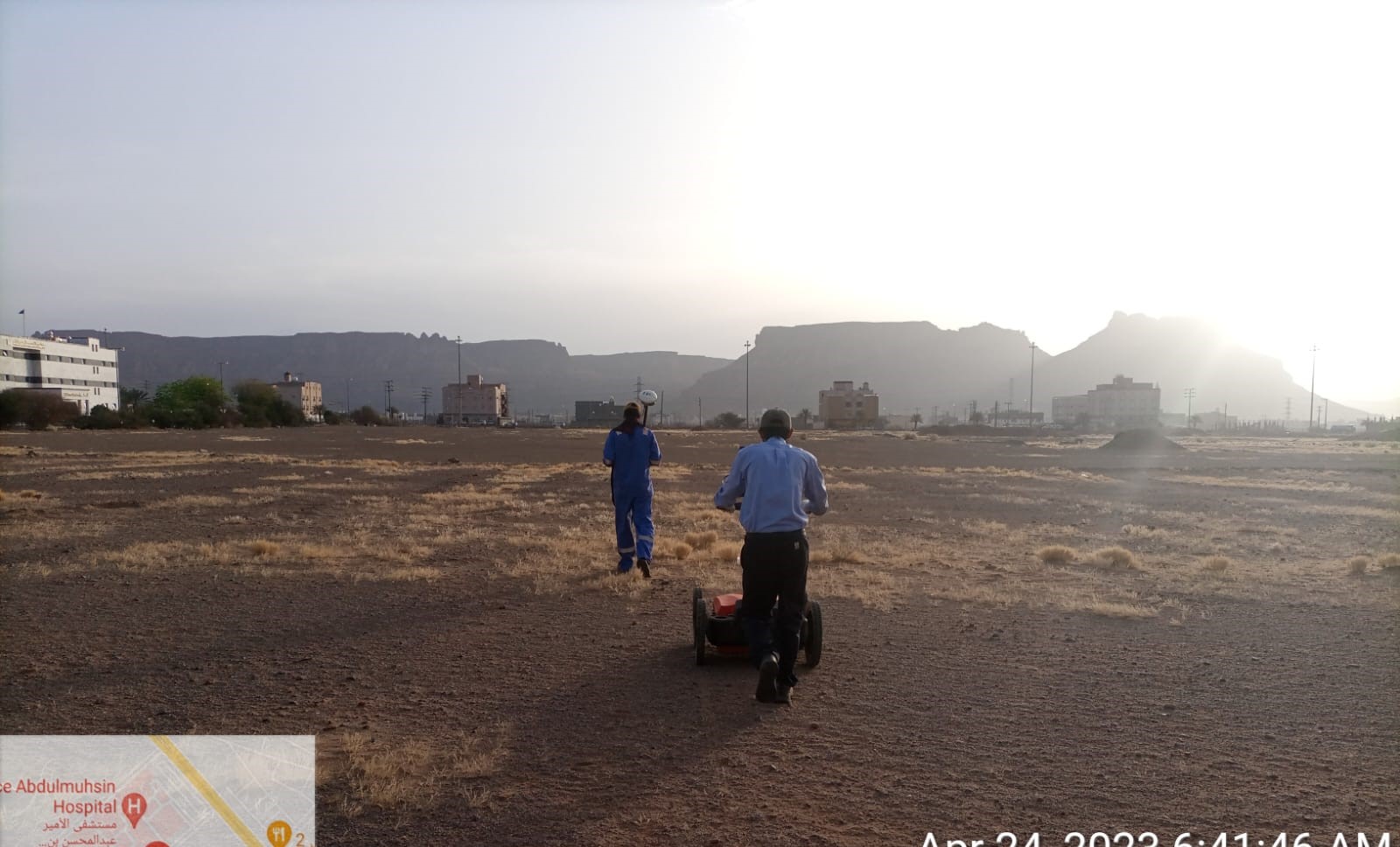
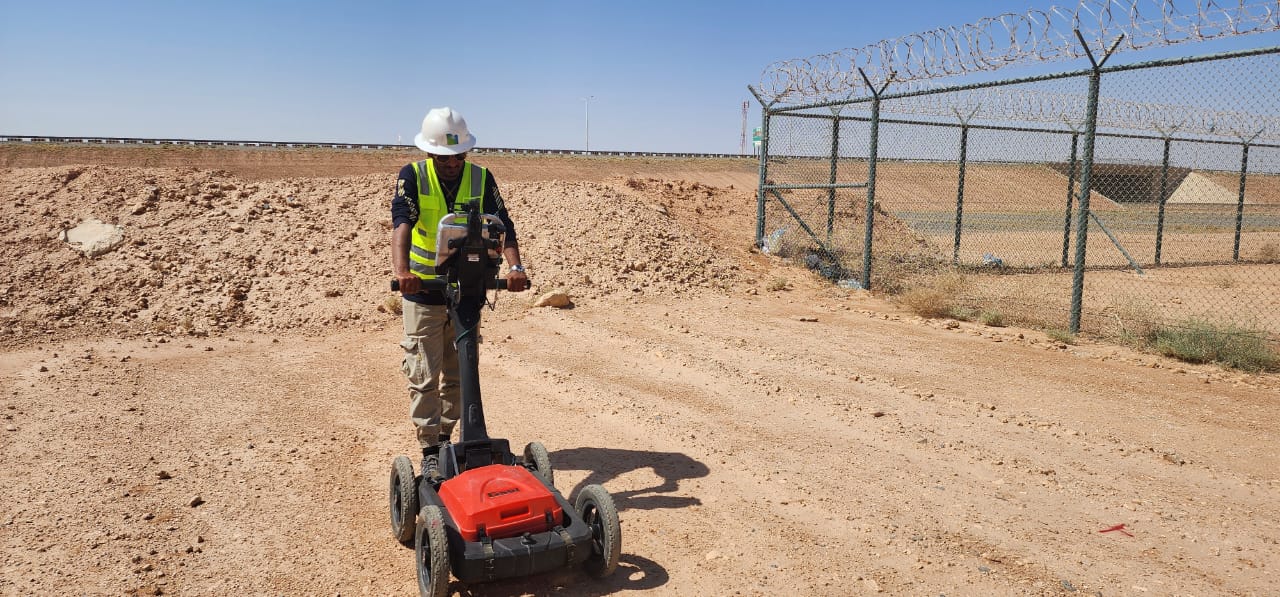
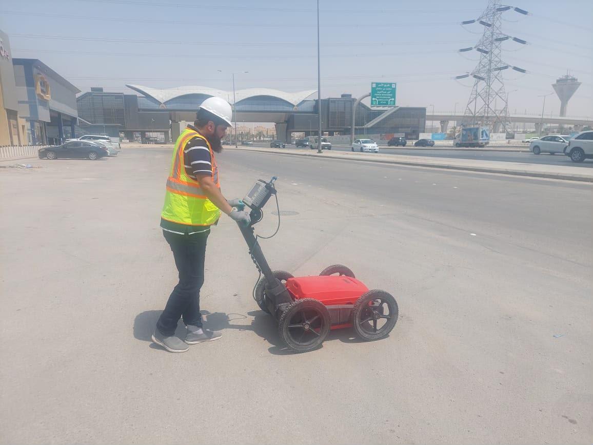
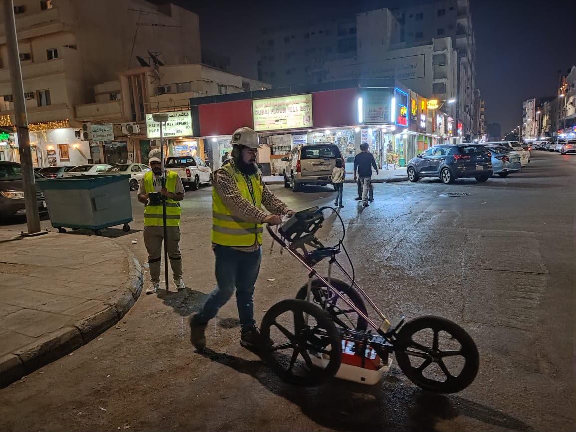
Ground penetrating radar and cable locating to map buried services before excavation. Learn about our GPR survey service.
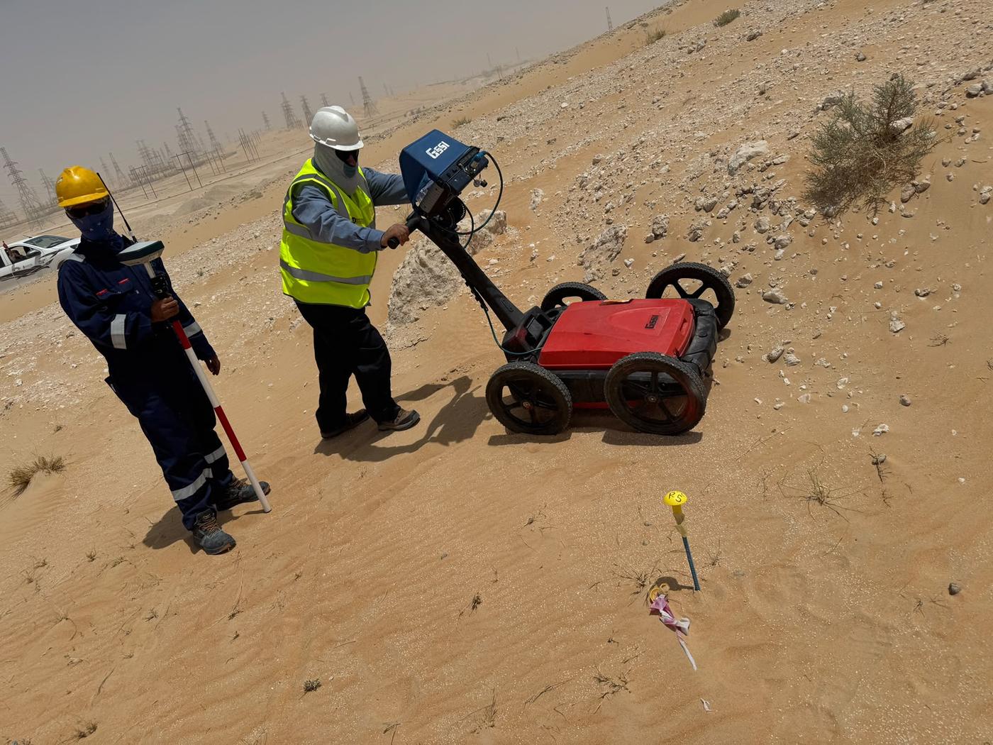
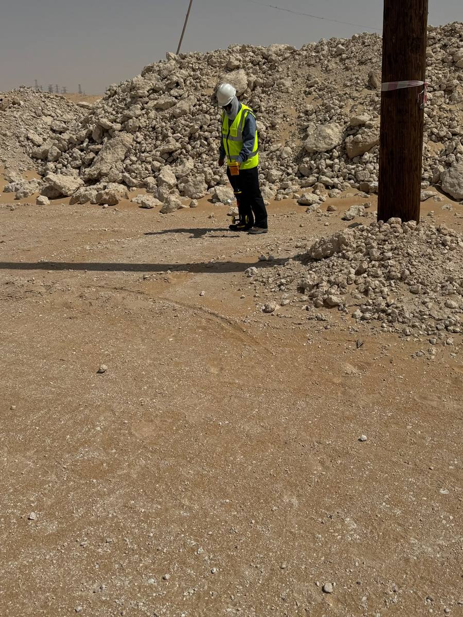
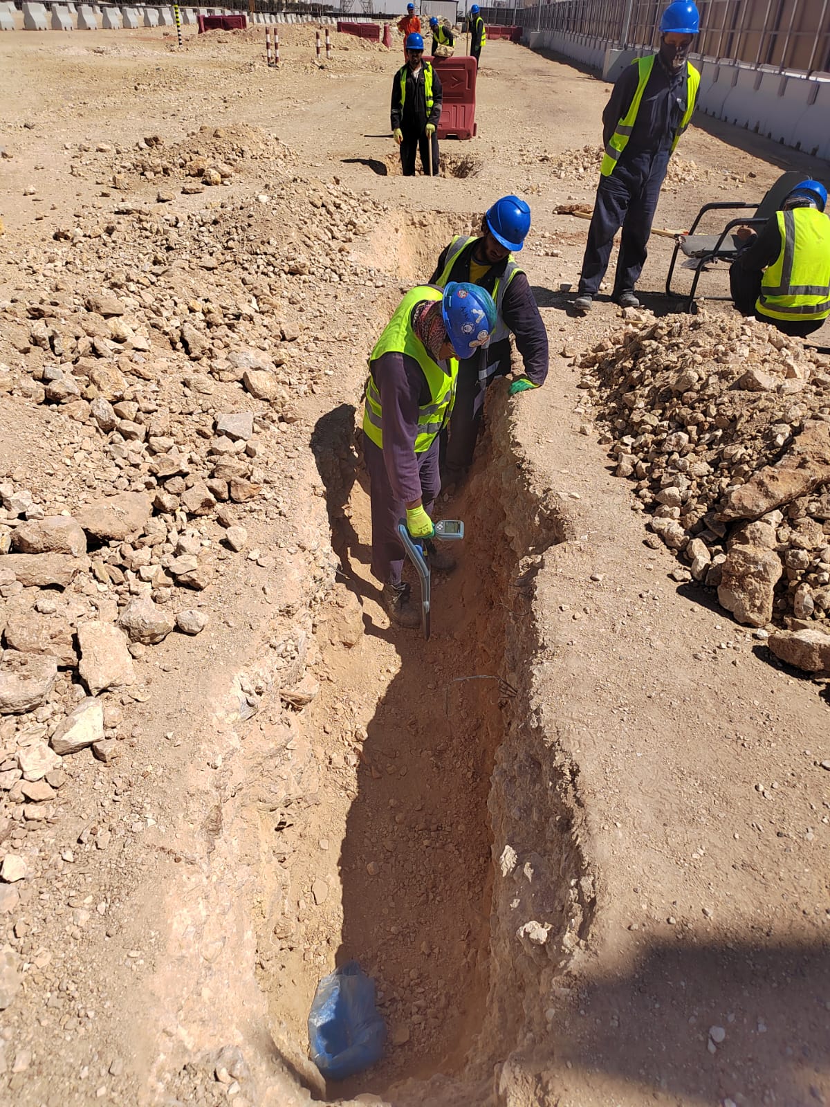
Cable and Pipe Locating
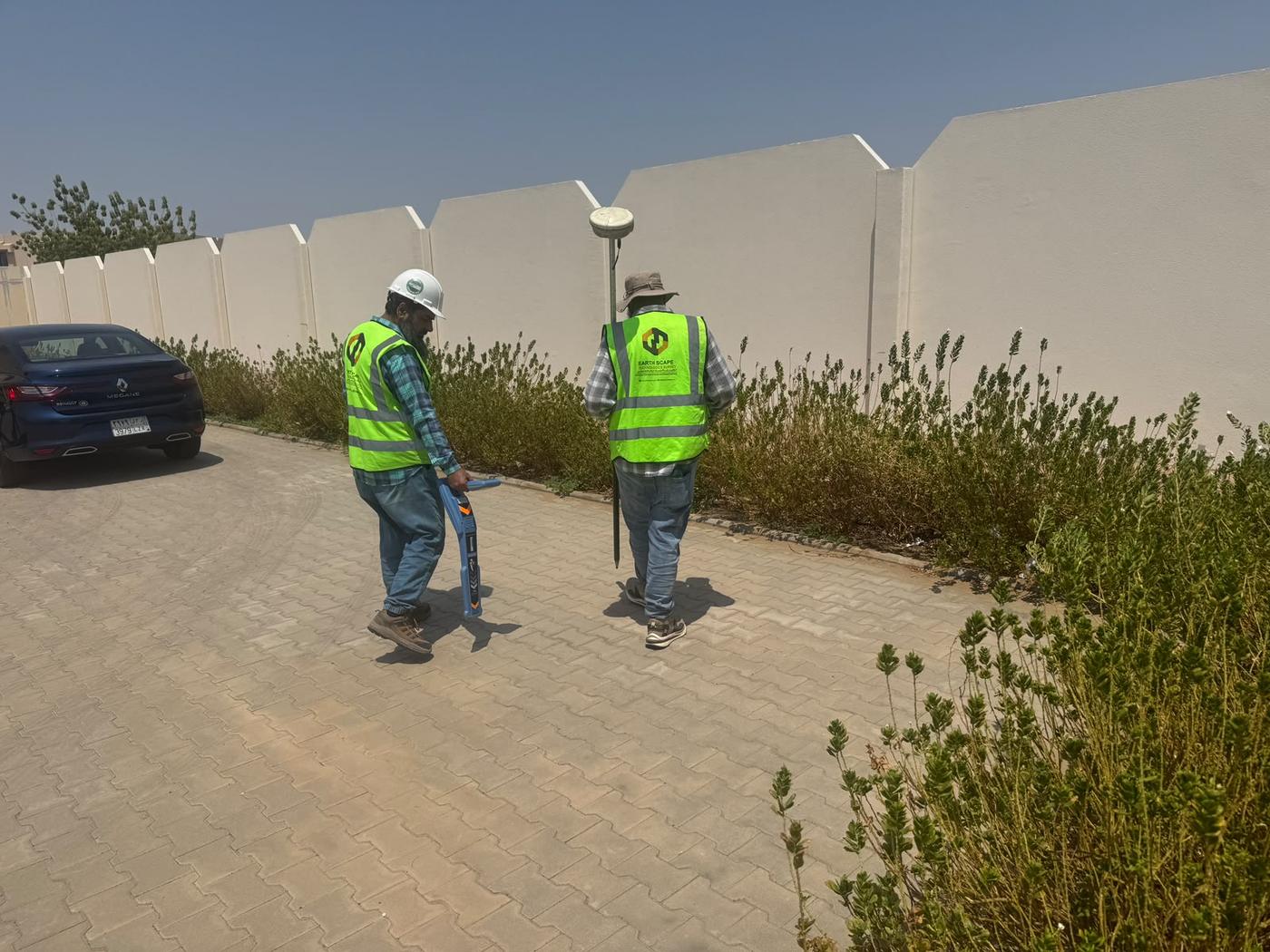
Electromagnetic and radio-detection locating to trace live cables and pipes before any digging starts. See our cable and pipe locating service.
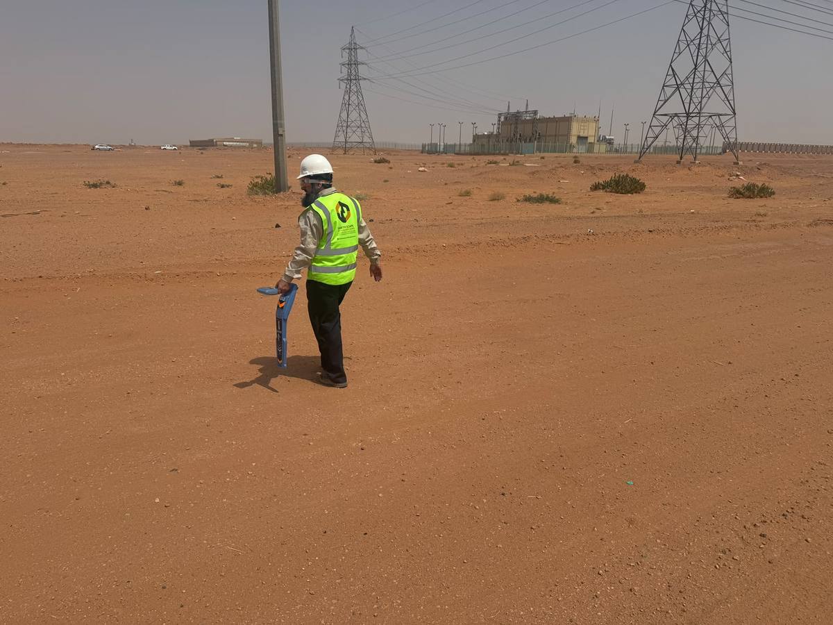
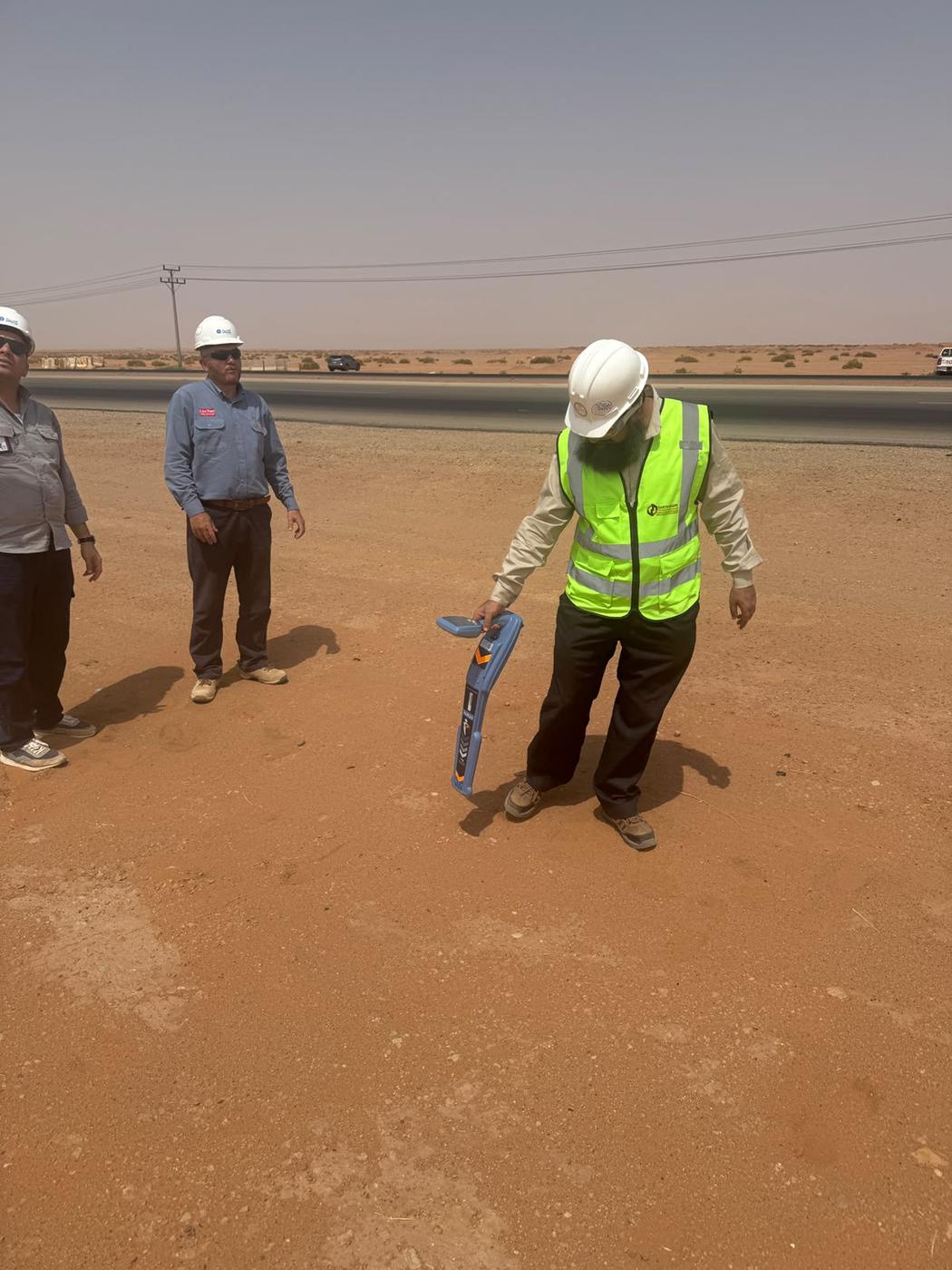
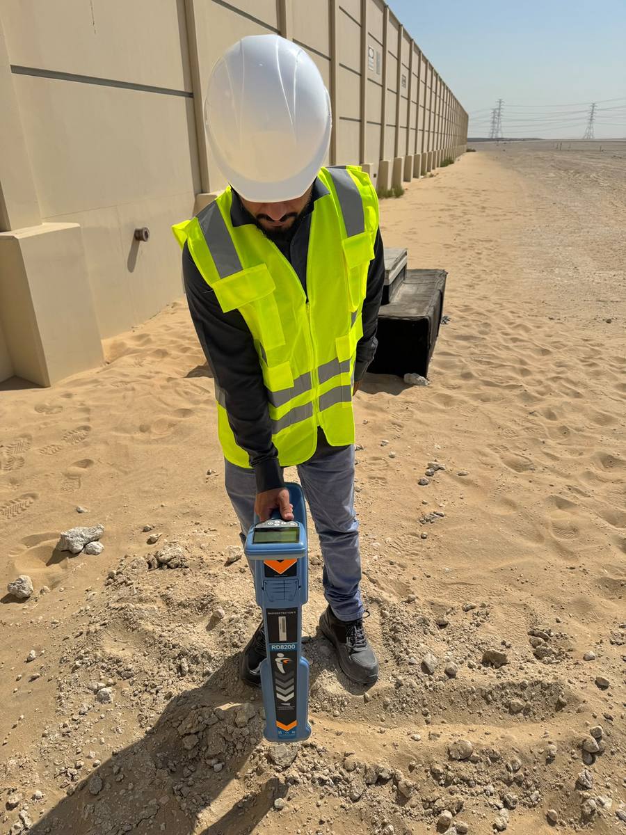
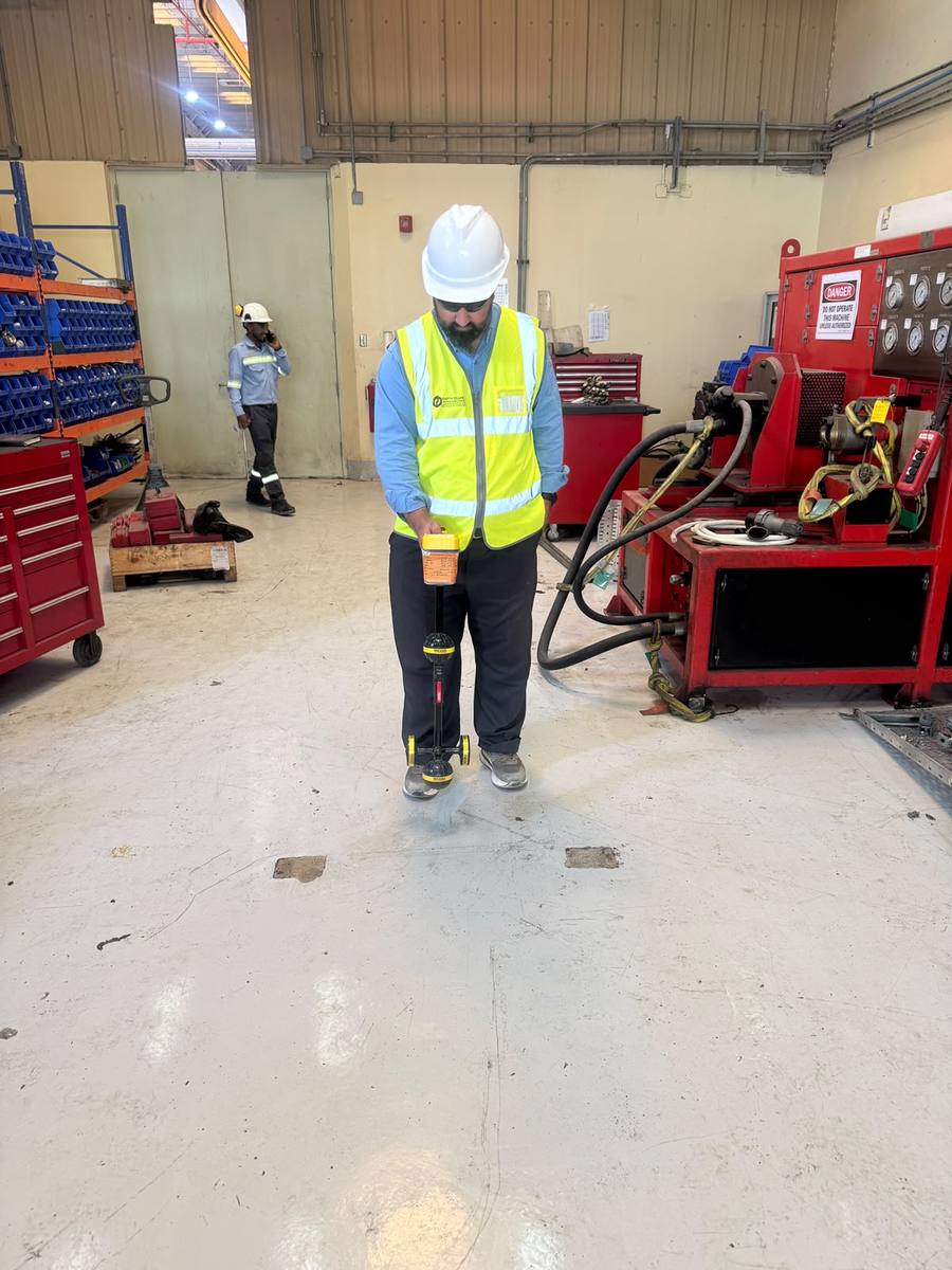
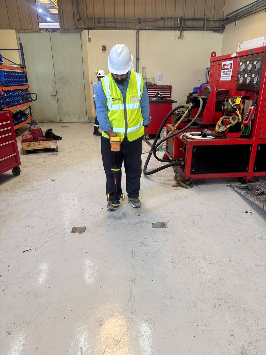
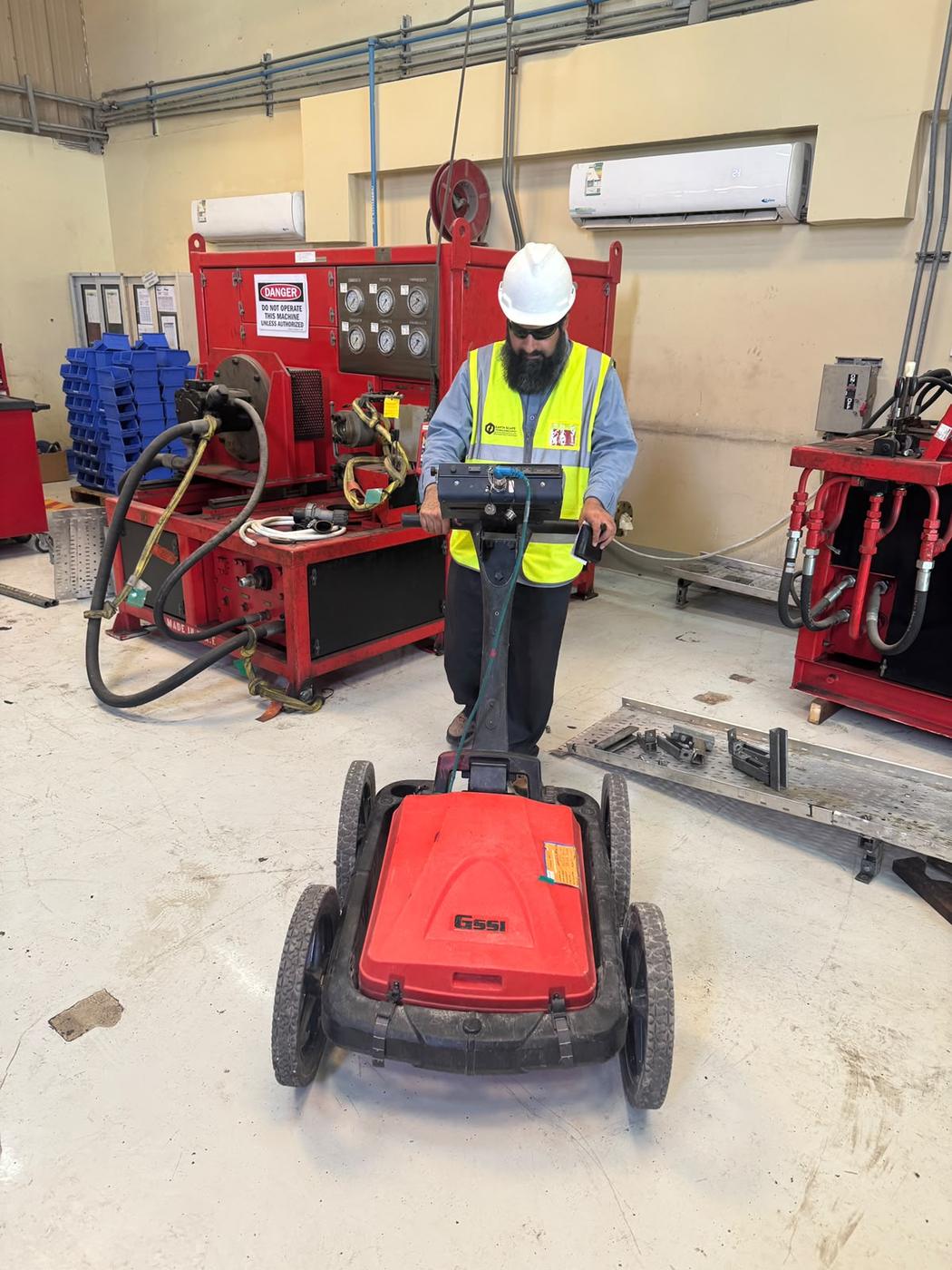
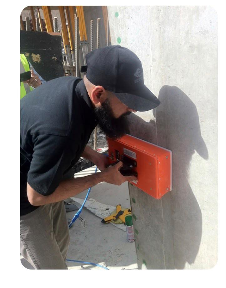
Indoor GPR and Concrete Scanning
GPR scanning inside plants and buildings, and handheld concrete scanning to find rebar and conduits before coring or cutting. Learn about our concrete scanning service.
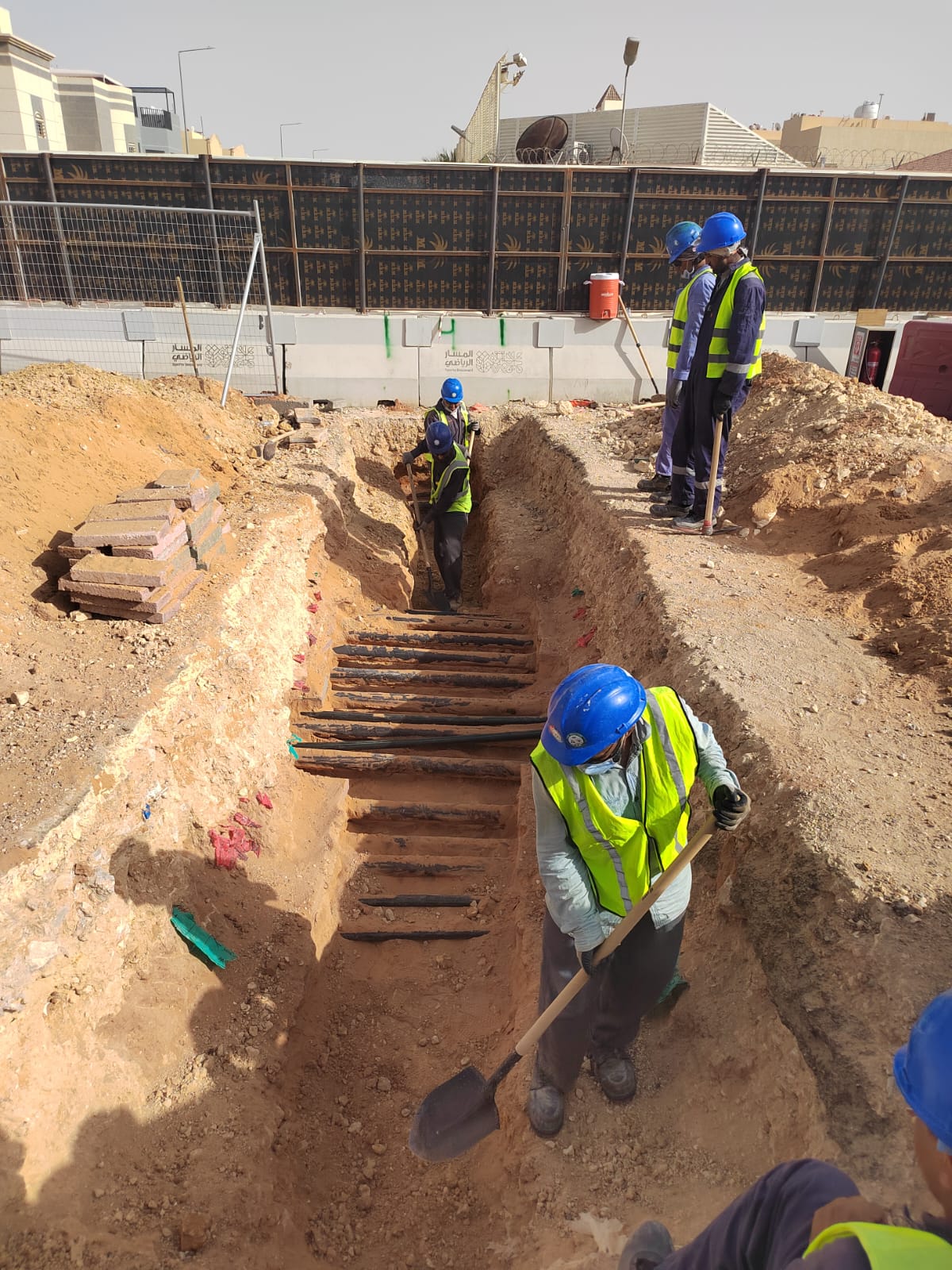
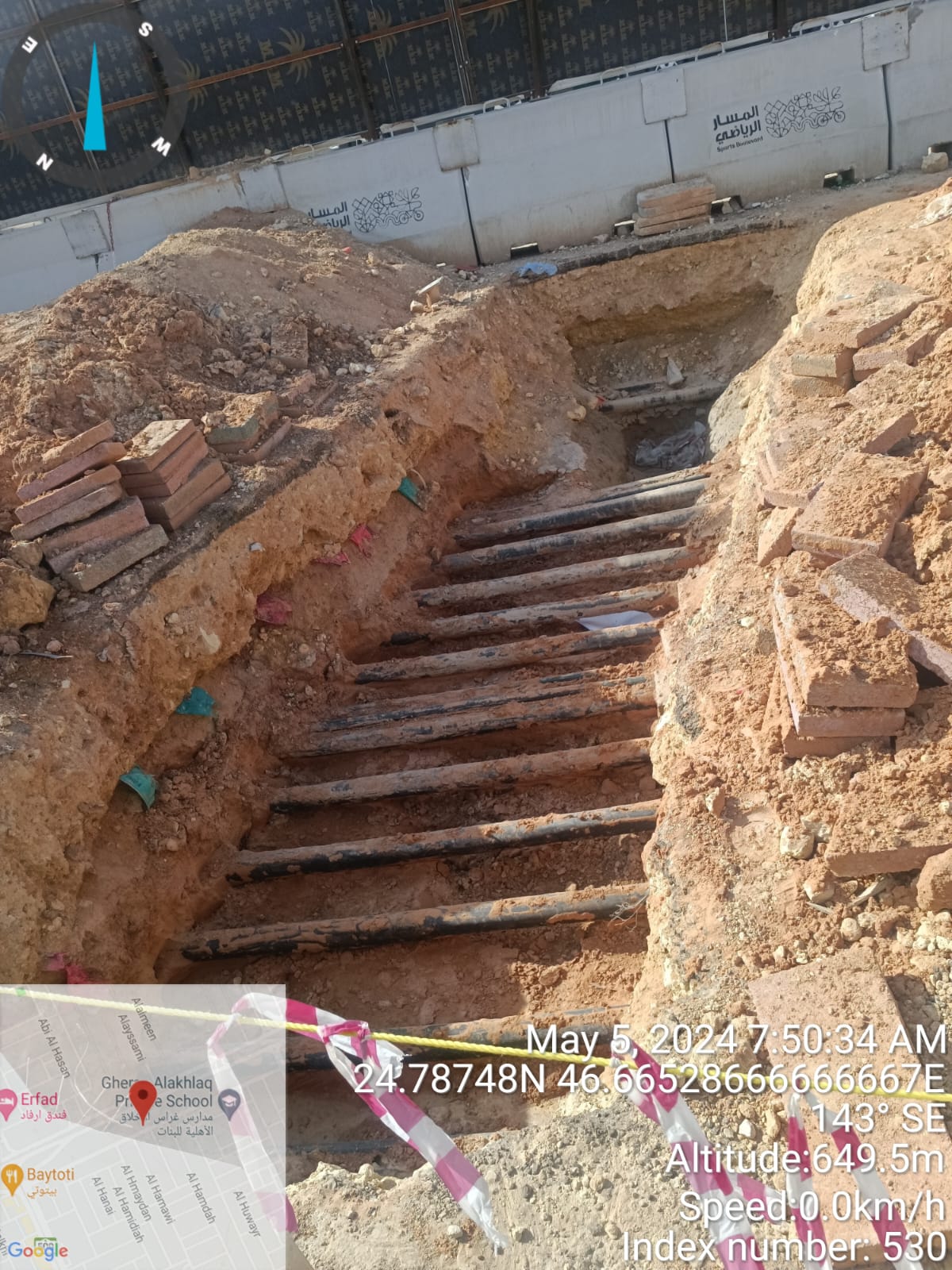
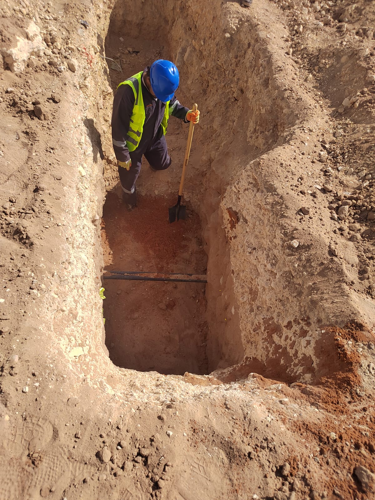
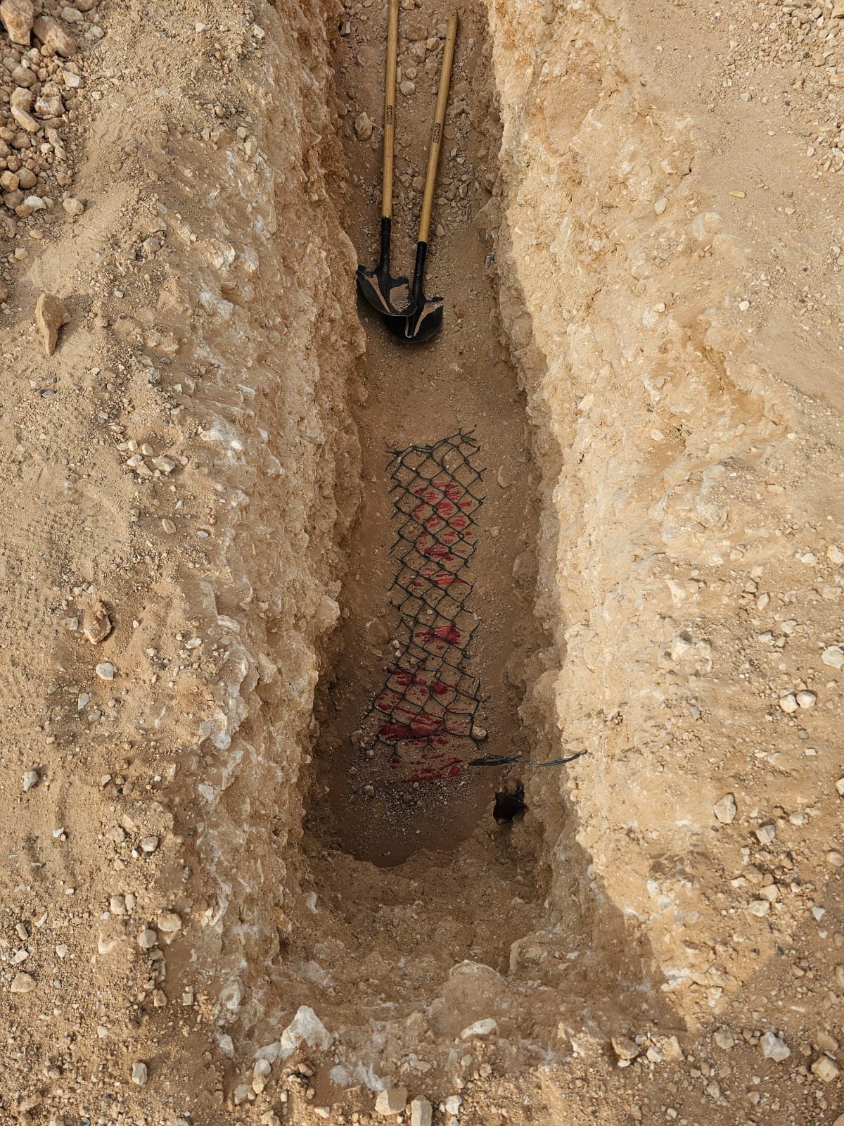
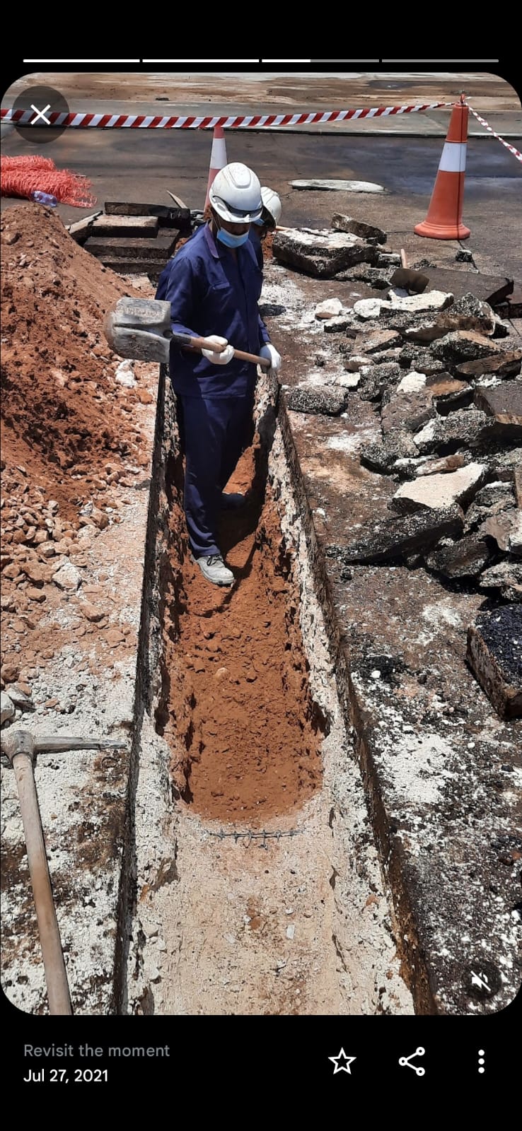
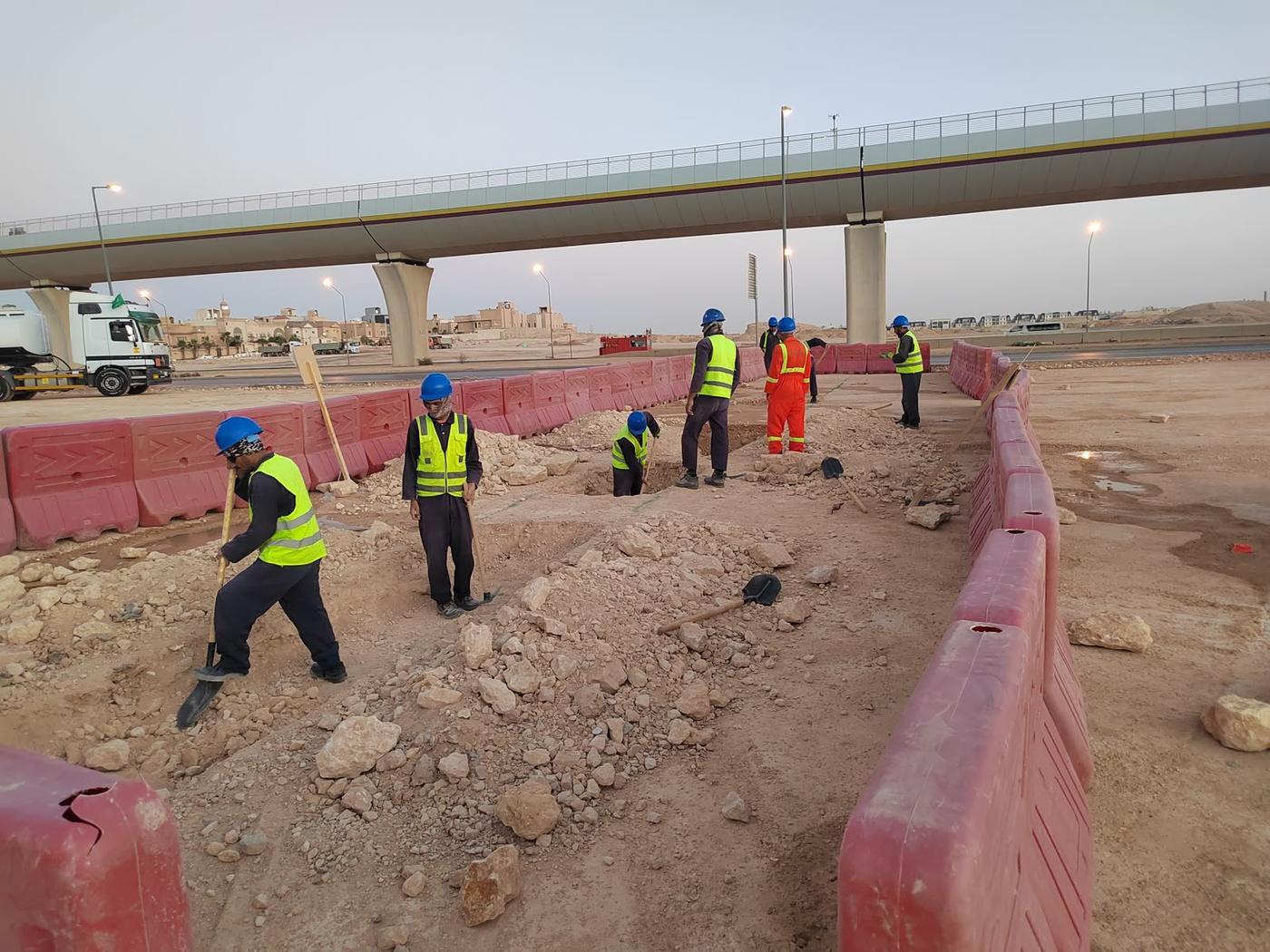
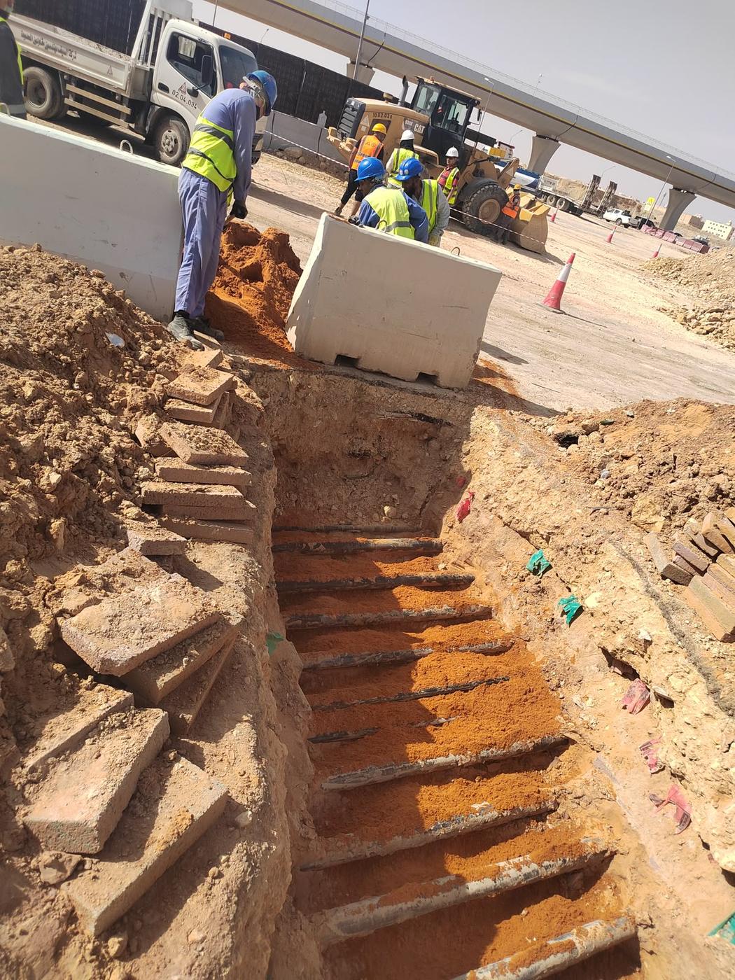
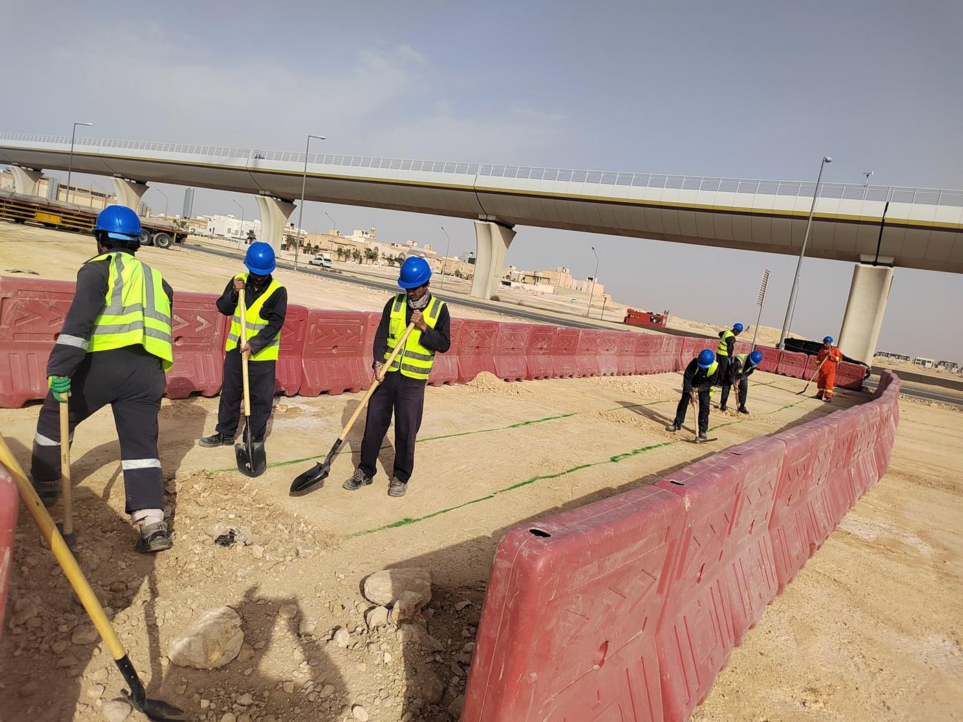
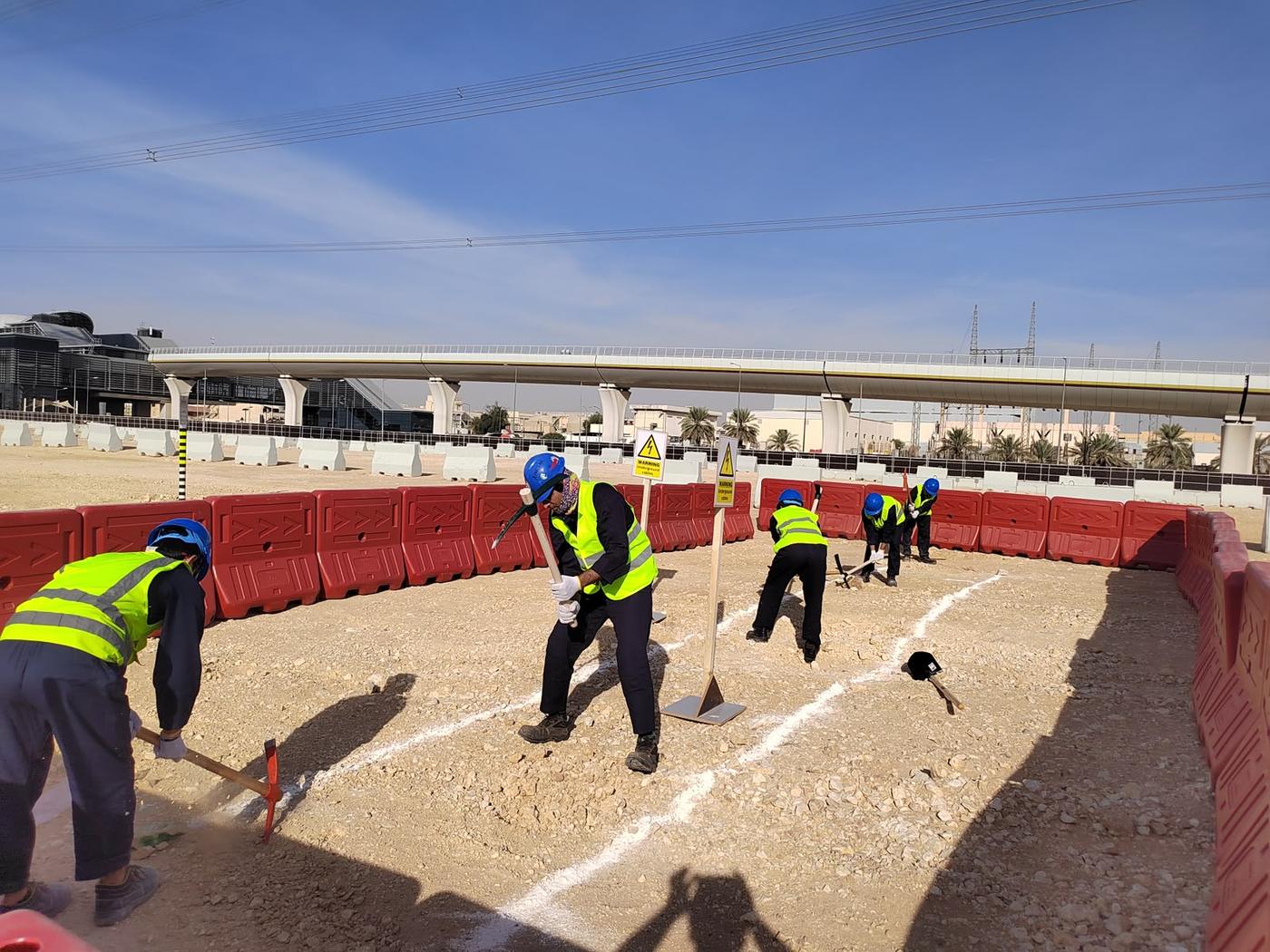
Trial Pits and Utility Verification (PAS 128)
Hand-dug trial pits that physically confirm the depth and position of located utilities. See our trial pit service.
Topographic, GNSS and Setting-Out Surveys
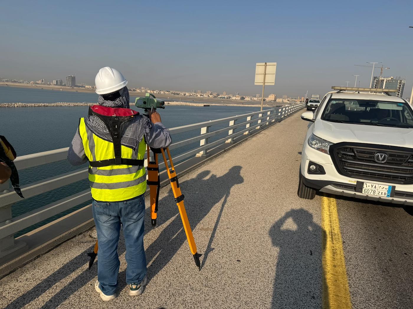
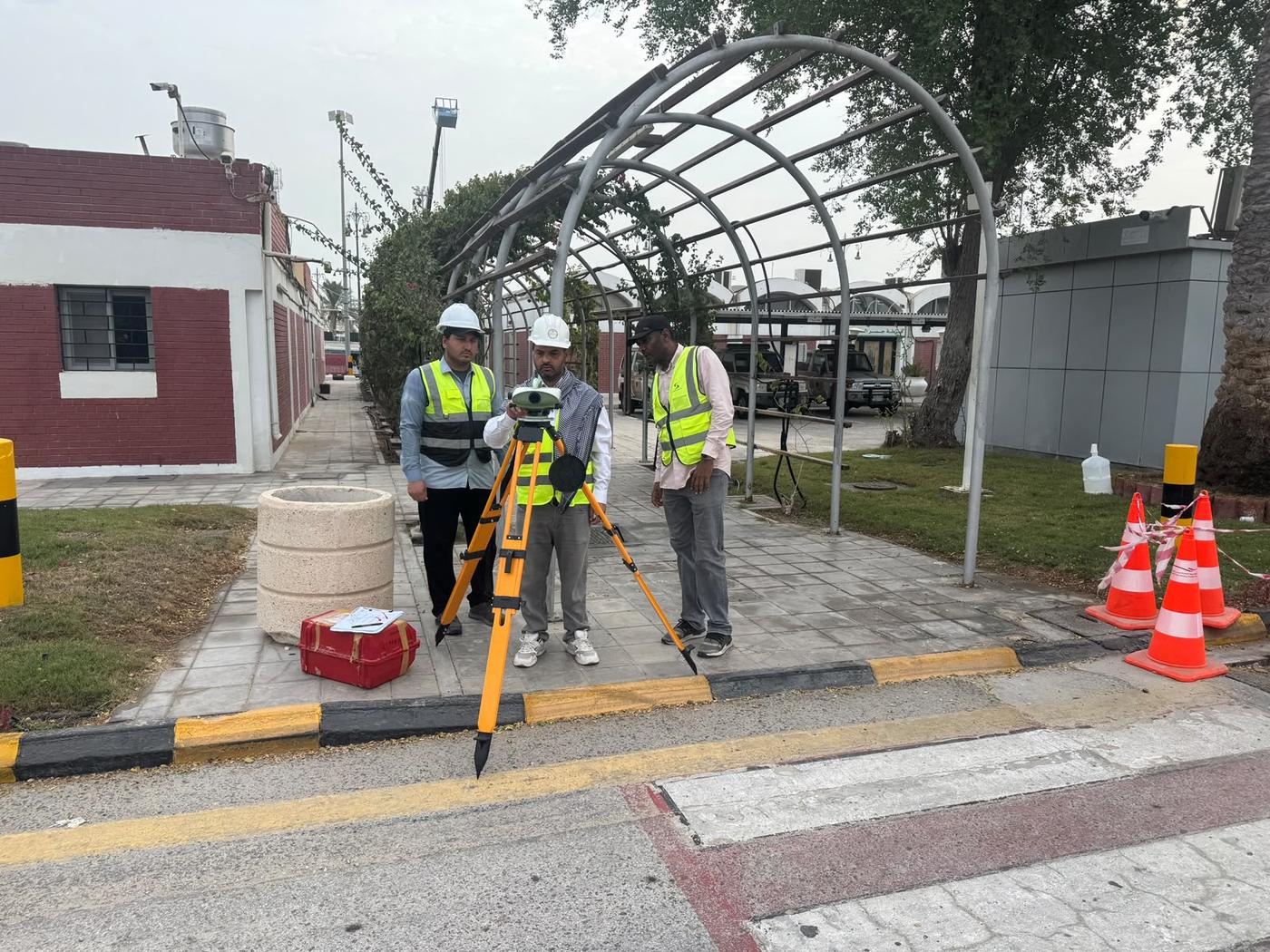
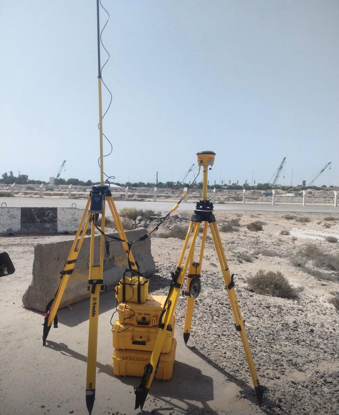
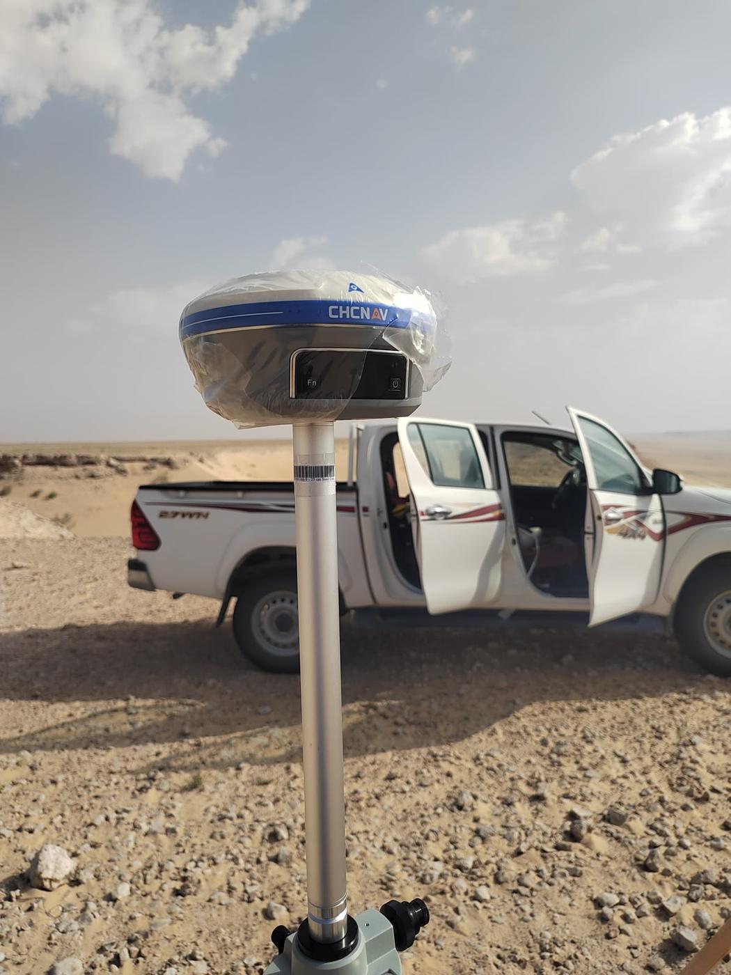
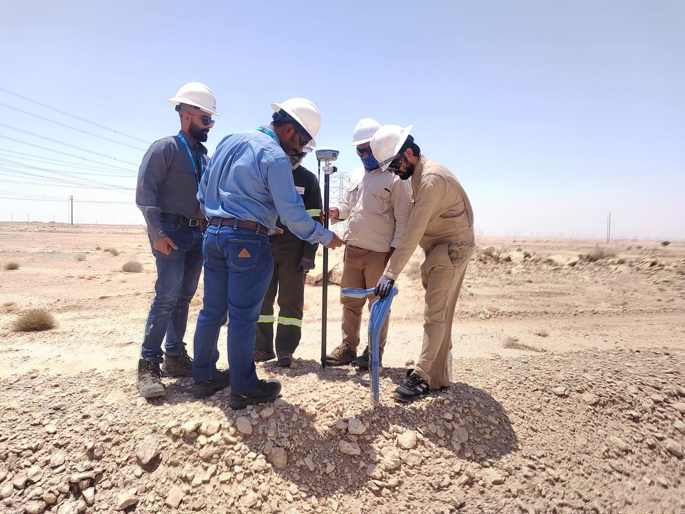
Total station and GNSS RTK surveys for topographic mapping, control points, setting out and as-built records. Also see our setting-out and as-built survey service and our topographic survey service.
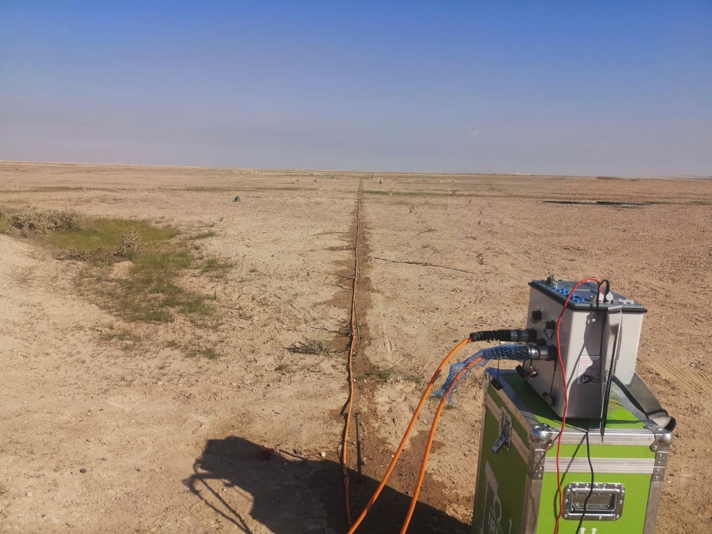
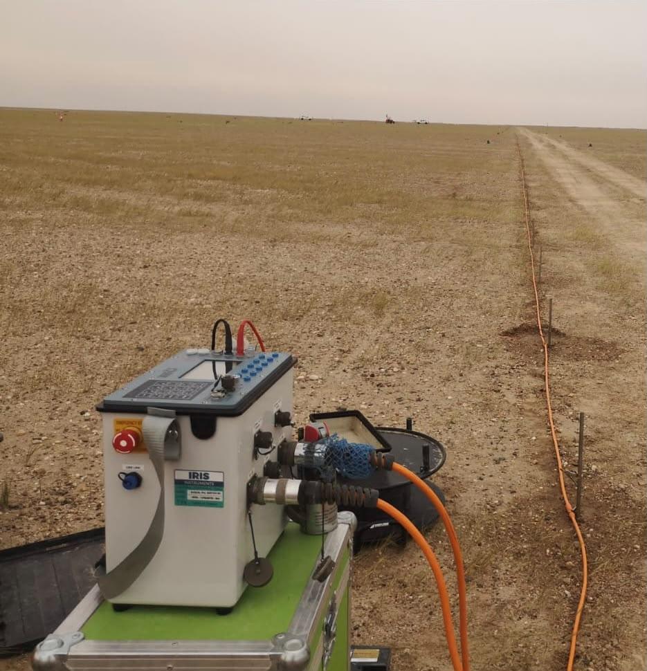
Electrical Resistivity Tomography (ERT) Surveys
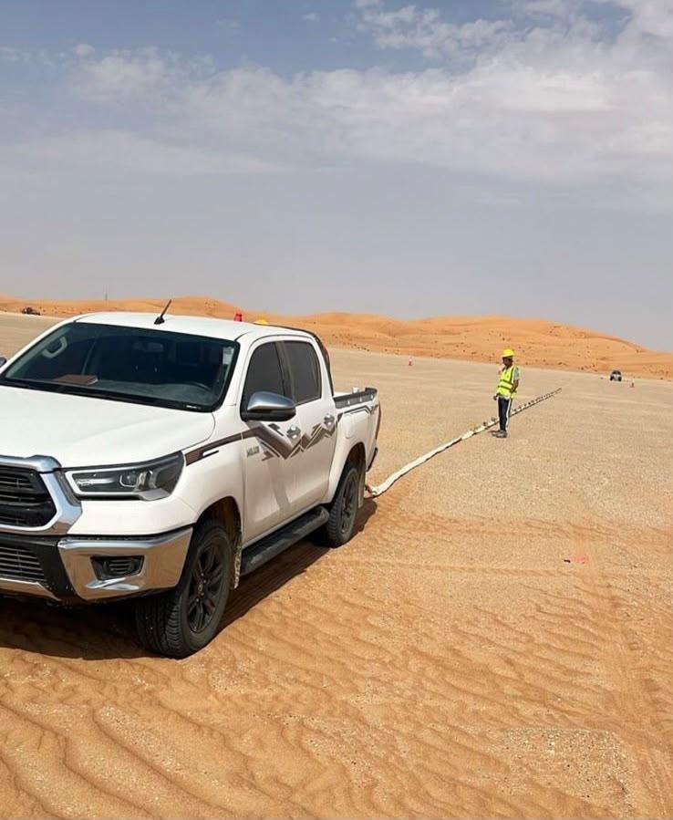
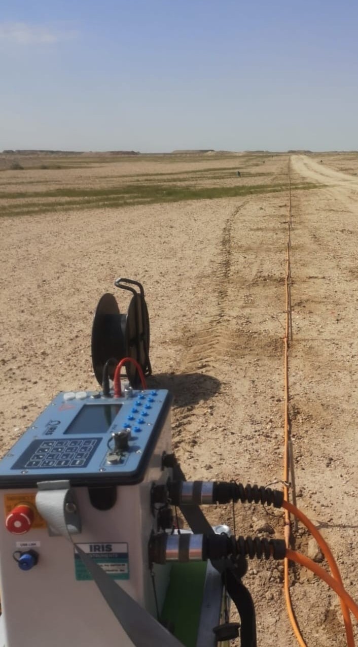
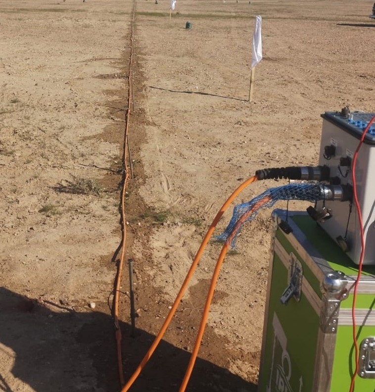
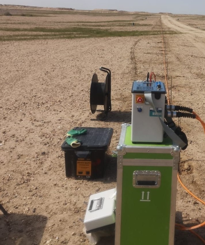
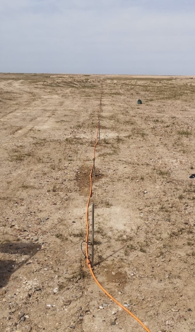
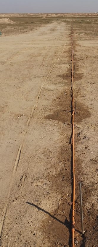
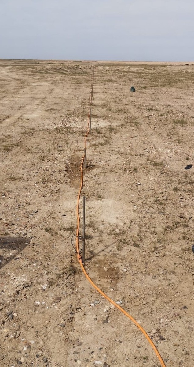
Multi-electrode resistivity lines that image the ground to locate cavities, groundwater, bedrock and soil layers. Read about our ERT survey service.
Safety and Mobilisation
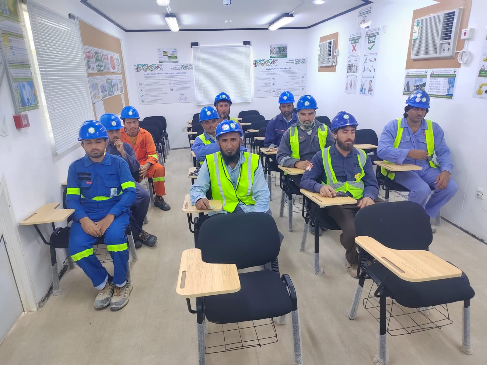
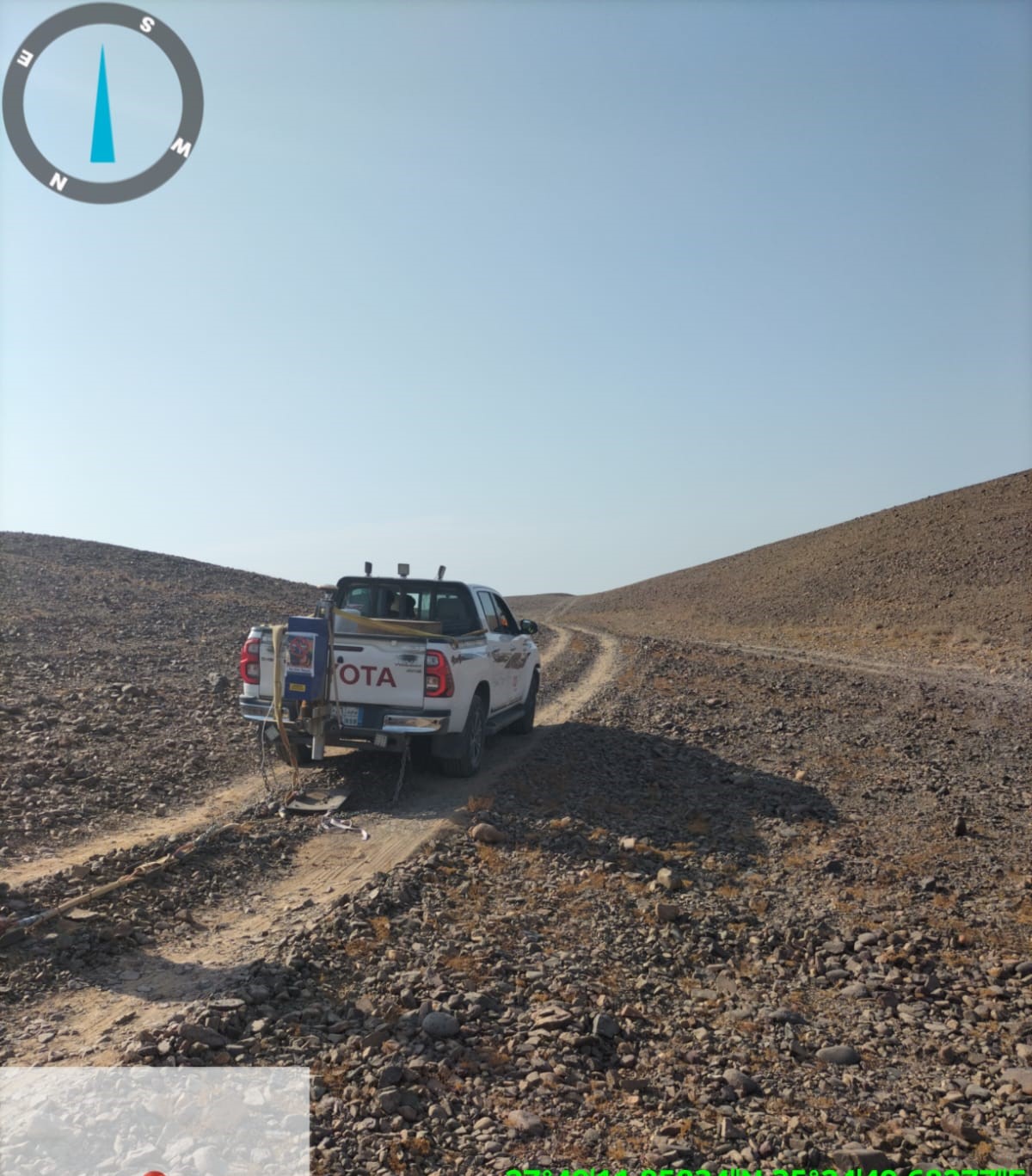
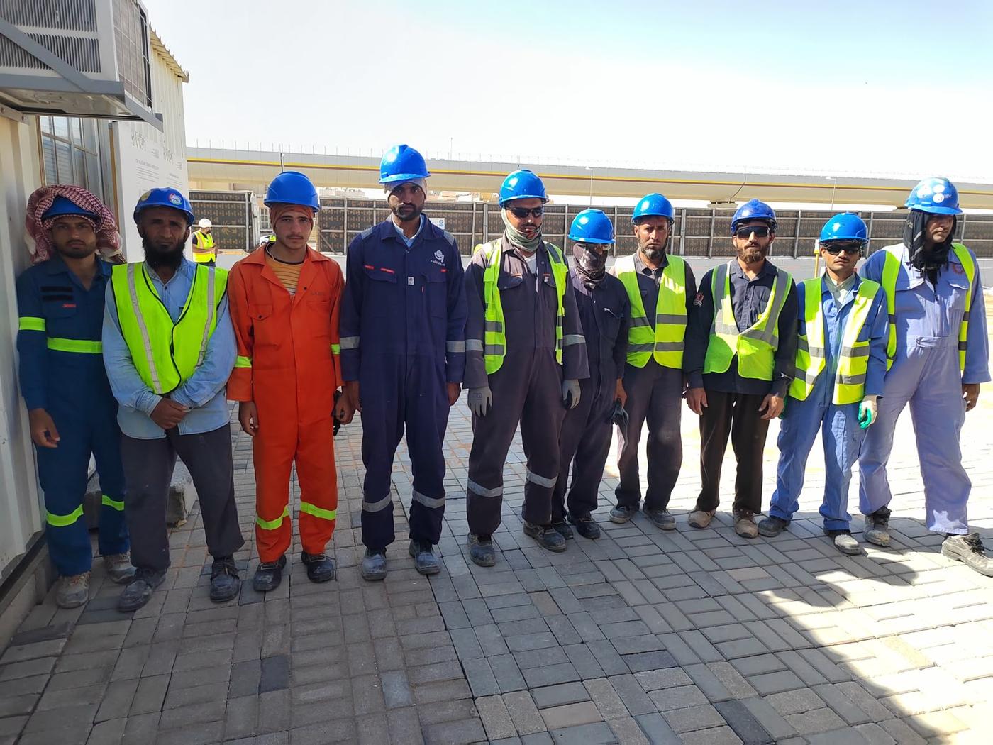
Every project starts with an HSE induction and careful planning to reach remote sites. About our team.