
Cable and Pipe Locating (Radio Detection) in Saudi Arabia
Locate buried cables and pipes before you dig — fast, non-destructive radio detection surveys across Saudi Arabia.
Home / Cable and Pipe Locating (Radio Detection)
What Is Electromagnetic (EML) Cable and Pipe Locating?
An electromagnetic locator detects the magnetic field that forms around a conductor carrying an electrical current. By following the strength and shape of that field at the surface, a trained operator can trace the route of a cable or metallic pipe, mark it on the ground and estimate its depth.
Passive Mode
In passive mode the locator picks up signals that are already present, such as power currents in live electricity cables and radio signals that re-radiate along long buried conductors. Passive sweeps are a quick first check for unknown services across a work area.
Active Mode
In active mode a signal transmitter applies a known frequency to the utility so it can be traced more reliably and identified individually. The signal can be applied by:
- Direct connection to an exposed part of a pipe, valve or cable sheath
- Signal clamp around an accessible cable, inducing the signal without disconnecting it
- Induction from a transmitter placed on the ground above the line
- Sonde, a small transmitter pushed or rodded through a non-metallic duct, drain or sewer so its route can be followed from the surface
Non-metallic pipes that a locator cannot trace are picked up with a GPR survey, and positions can be confirmed by trial pits as part of a PAS 128 utility survey.
Our Method and Equipment
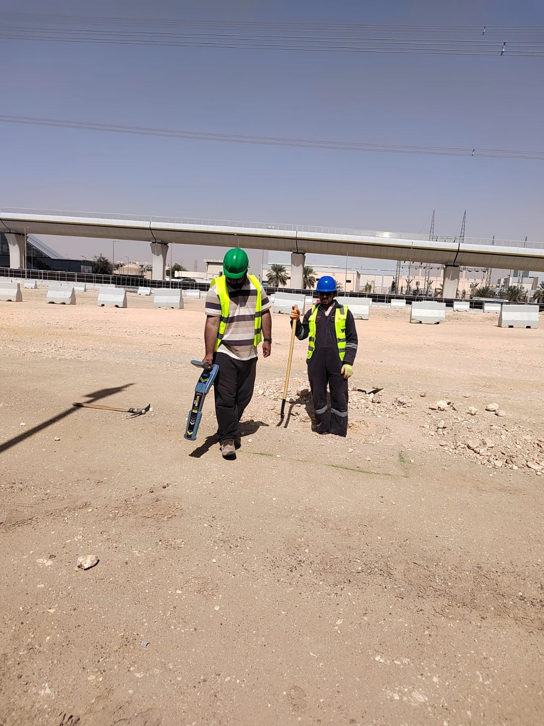
Our surveyors start with available records and a walkover to find manholes, chambers, valves, pedestals and other surface features. We then sweep the area in passive modes, followed by active tracing of each accessible service with a transmitter at suitable frequencies.
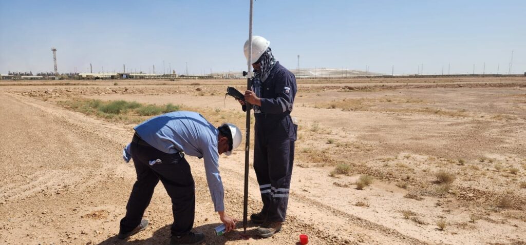
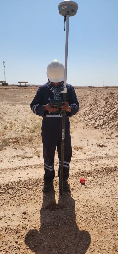
Located services are marked on the ground with paint or markers and, where a drawing is required, surveyed with GNSS or robotic total stations so they can be plotted accurately. Because electromagnetic methods cannot detect plastic, concrete or clay pipes unless a sonde or tracer is available, we normally combine EML with ground penetrating radar. Our latest GSSI 350 HS (350 MHz HyperStacking) GPR system helps find non-conductive services and services that carry no signal.
When Do You Need Cable and Pipe Locating?
- Before trenching, piling, drilling or any hand or machine excavation
- To confirm service routes before road works, utility connections or foundations
- When records are missing or do not match what is visible on site
- As part of a full PAS 128 utility survey together with GPR and trial pits
- During construction, to re-check areas before each new phase of digging
Deliverables
- On-site marking of detected cables and pipes with utility-type color codes
- Estimated depths at regular intervals, where a reliable reading is possible
- Utility plans in AutoCAD or Civil 3D on your project coordinate system
- A short report covering methods, limitations and areas that could not be surveyed
- Recommendations for trial pit verification at critical locations
Accuracy and Limitations
Electromagnetic depth readings are estimates. They can be affected by nearby services, bends, tees, signal coupling between lines and changes in soil conditions. Congested areas, such as substations and road junctions, need extra care and often a combination of methods. Where certainty is critical, we recommend verifying positions with trial pits before excavation.
Related guide: why locate utilities before excavation.
Passive Sweeps
A quick first check that picks up signals already present, such as power currents in live electricity cables and radio signals that re-radiate along long buried conductors.
Active Tracing
A signal transmitter applies a known frequency to the utility so it can be traced more reliably and identified individually, by direct connection, clamp, induction or sonde.
On-Site Marking
Located services are marked on the ground with paint or markers and utility-type color codes, with estimated depths at regular intervals where a reliable reading is possible.
Surveyed Utility Plans
Where a drawing is required, services are surveyed with GNSS or robotic total stations and plotted accurately in AutoCAD or Civil 3D on your project coordinate system.
Locators + GPR Together
Locators and GPR used together, so metallic and non-metallic services are both covered on every survey.
PAS 128 Aligned
Work aligned with PAS 128 methodology when a formal utility survey is required, including trial pit verification at critical locations.
One Multidisciplinary Team
One team of surveyors, geophysicists, engineers and data analysts, from site marking to CAD drawings.
5+ Years, 100+ Projects
5+ years of experience, 20+ experts, 40+ clients and 100+ projects delivered across Saudi Arabia.
Why Choose EarthScape?
Sectors We Serve
We support construction, energy, mining and environmental projects across Saudi Arabia, from international airports to residential sites. Typical users are main contractors, utility installers, consultants and facility owners who need to dig safely.
Frequently Asked Questions
What is the difference between GPR and radio detection?
Radio detection (EML) traces conductive services that carry a signal, such as cables and metallic pipes. GPR sends radar pulses into the ground and detects changes in material, so it can also find plastic and concrete pipes. Using both gives the most complete picture.
Can you detect plastic water pipes?
Not with an electromagnetic locator alone. Plastic pipes can be traced with a sonde or tracer wire if there is access, or detected with GPR, depending on ground conditions and pipe size.
How accurate are the depth readings?
Depth readings are estimates and depend on site conditions and nearby services. We report them as approximate and recommend trial pits where exact depth matters.
Do you mark the services on site?
Yes. Detected services are marked on the ground so your excavation team can see them, and we can also provide a surveyed drawing.
How quickly can you mobilize?
We mobilize from our head office in Riyadh to sites across Saudi Arabia. Contact us with your location and scope, and we will confirm the earliest available date.
Book a Cable and Pipe Locating Survey
Protect your team and avoid costly service strikes. Call +966 55 679 8661 or +966 53 875 9468, email info@earthscapesurvey.com, or contact our team with your site location and planned works.
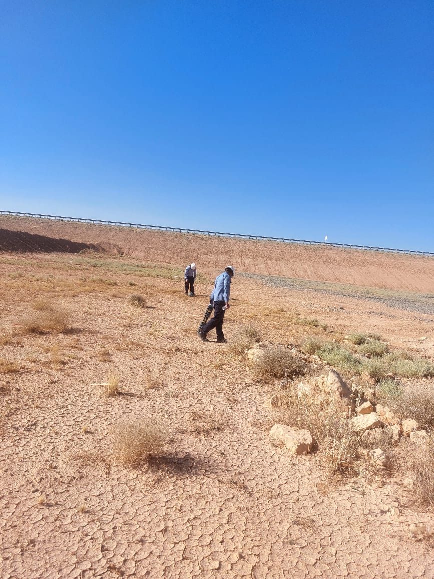
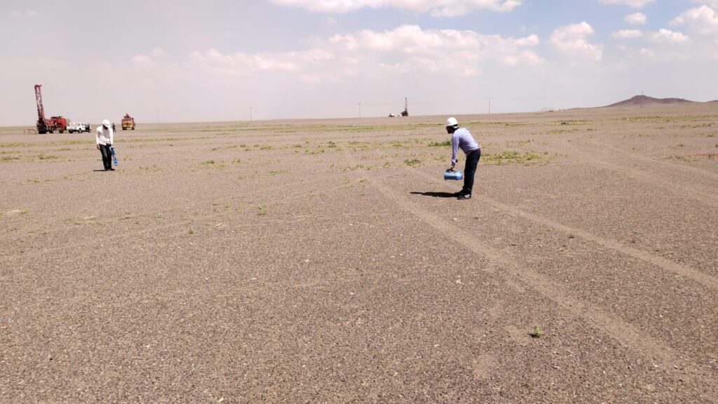
Cable and Pipe Locating on Site
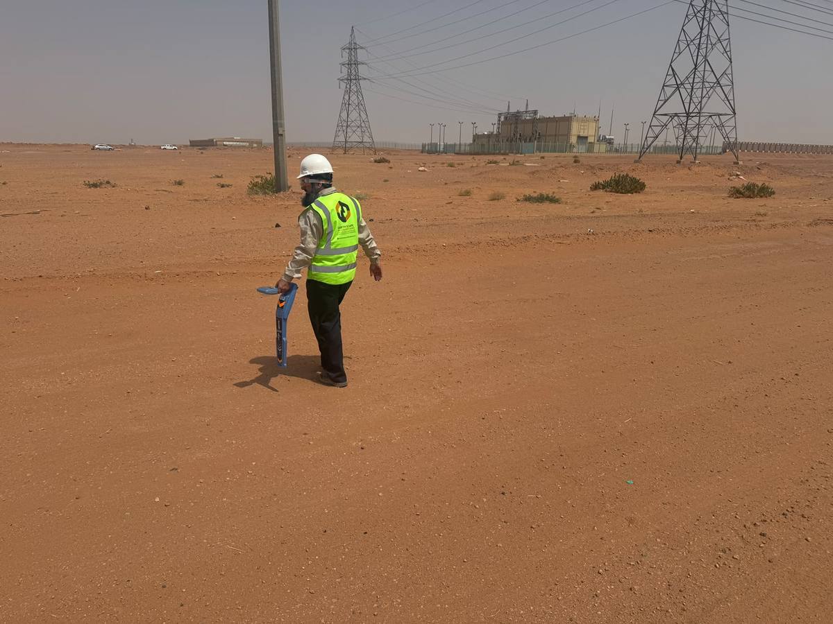
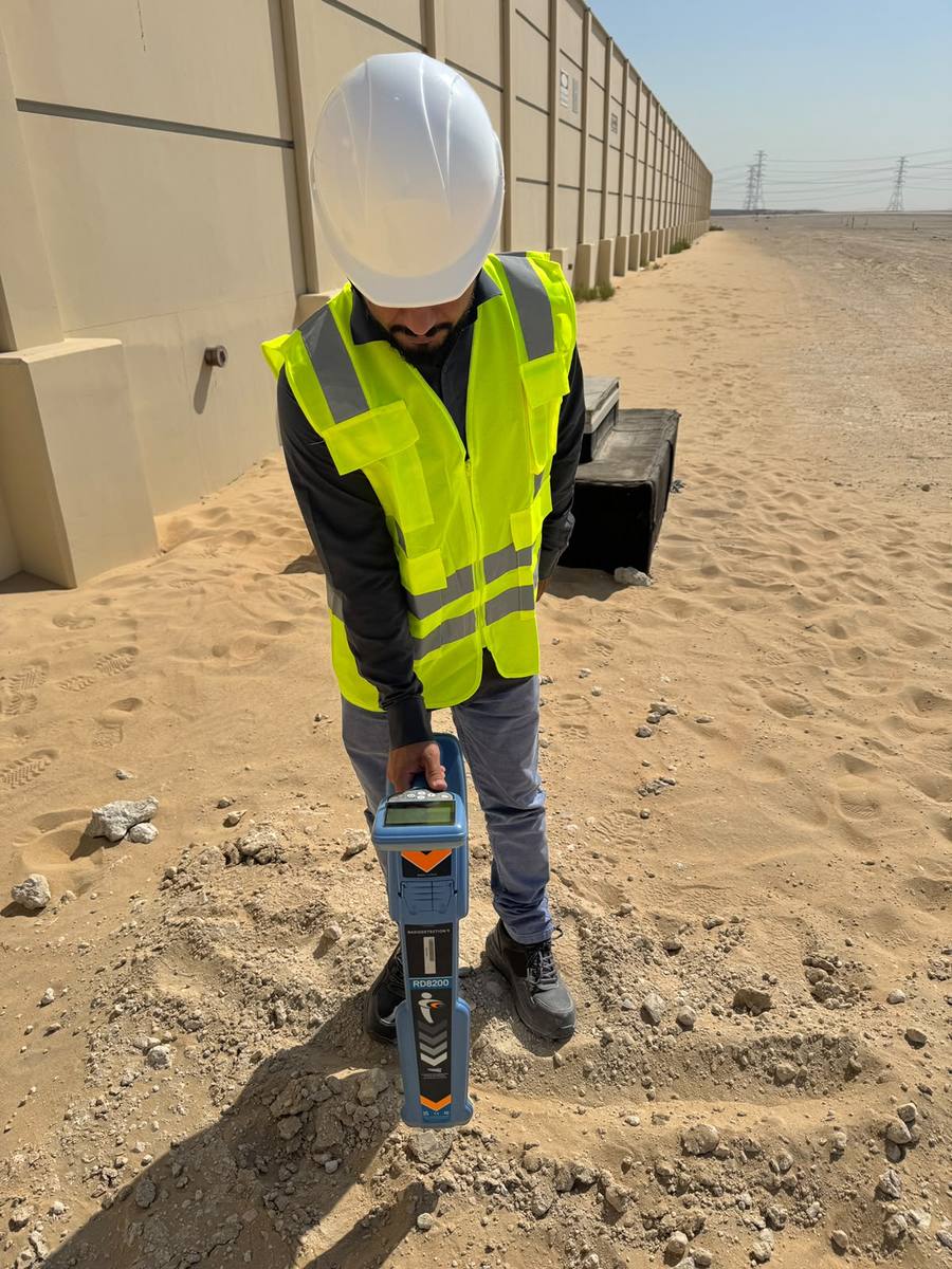
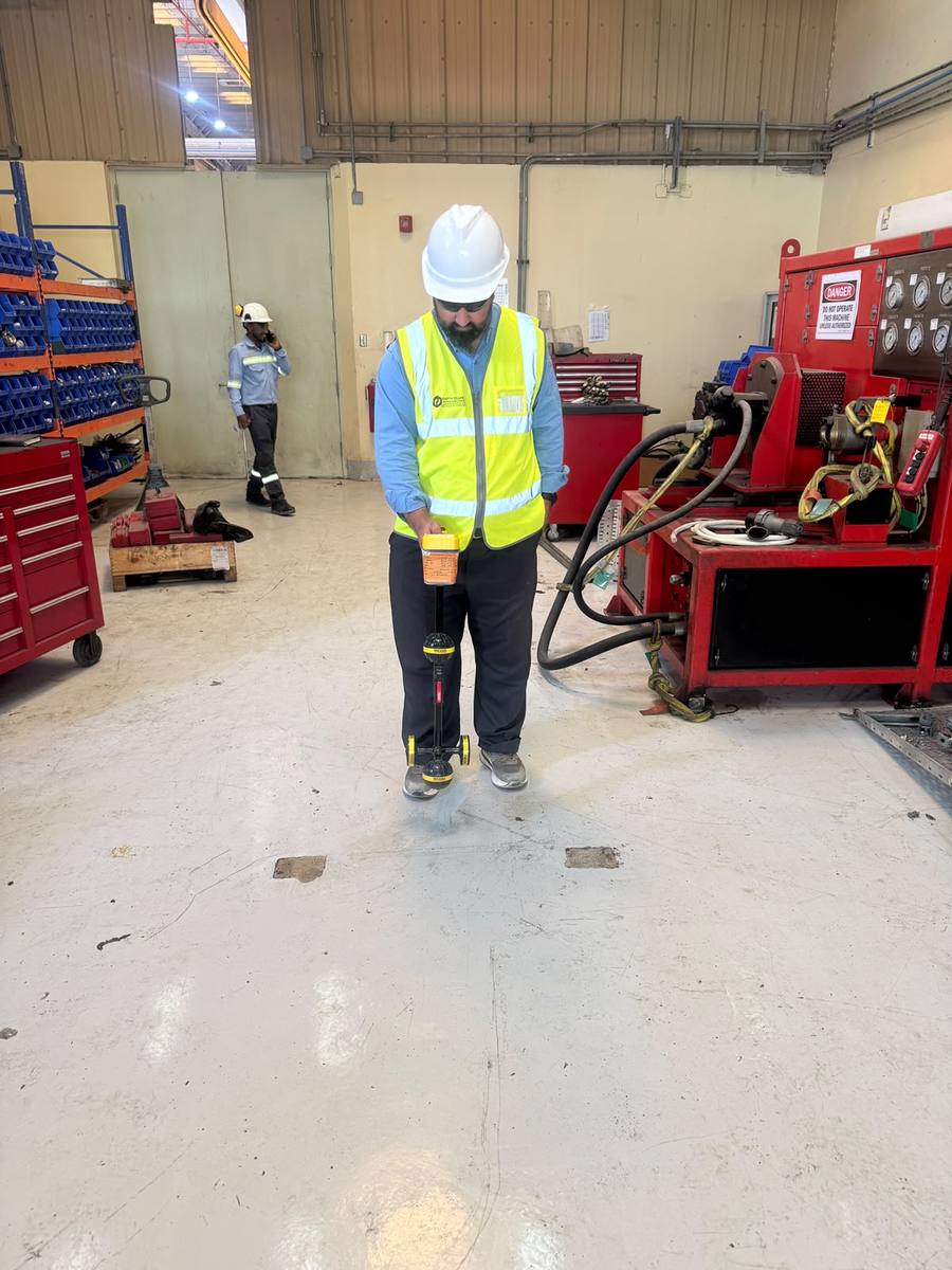
EarthScape engineers trace live cables and pipes with Radiodetection RD8200 and other locators, on open sites, near substations and inside working facilities, before any digging or drilling starts.
See more field photos in our survey project portfolio.