
MASW Survey in Saudi Arabia: Shear-Wave Velocity and Vs30
Measure shear-wave velocity and get your Vs30 site class with fast MASW surveys across Saudi Arabia.
Foundation and structural design depend on knowing how stiff the ground is. Multichannel Analysis of Surface Waves (MASW) measures shear-wave velocity in soil and rock quickly and without drilling, giving designers the Vs30 value and stiffness profiles they need. EarthScape Technologies carries out MASW surveys across the Kingdom, including Riyadh, Jeddah, Dammam, Makkah and Madinah, from our head office in Riyadh.
What Is MASW?
MASW is a seismic method that uses surface waves (Rayleigh waves) to estimate how shear-wave velocity (Vs) changes with depth. Surface waves of different frequencies travel at different speeds depending on the stiffness of the layers they pass through. This behavior is called dispersion.
A line of geophones records waves generated by a source at the surface. The recorded data are converted into a dispersion curve, and the dispersion curve is inverted to produce a one-dimensional Vs profile. By moving the array along a line, several profiles can be combined into a two-dimensional Vs section.
What Is Vs30?
Vs30 is the time-averaged shear-wave velocity in the top 30 meters of ground. Design codes use it to assign a seismic site class, which affects design ground motions, and MASW is a common way to obtain Vs30 for seismic site classification for design. MASW is often combined with seismic refraction and Electrical Resistivity Tomography (ERT) as part of a wider geotechnical investigation.
Our Method and Equipment
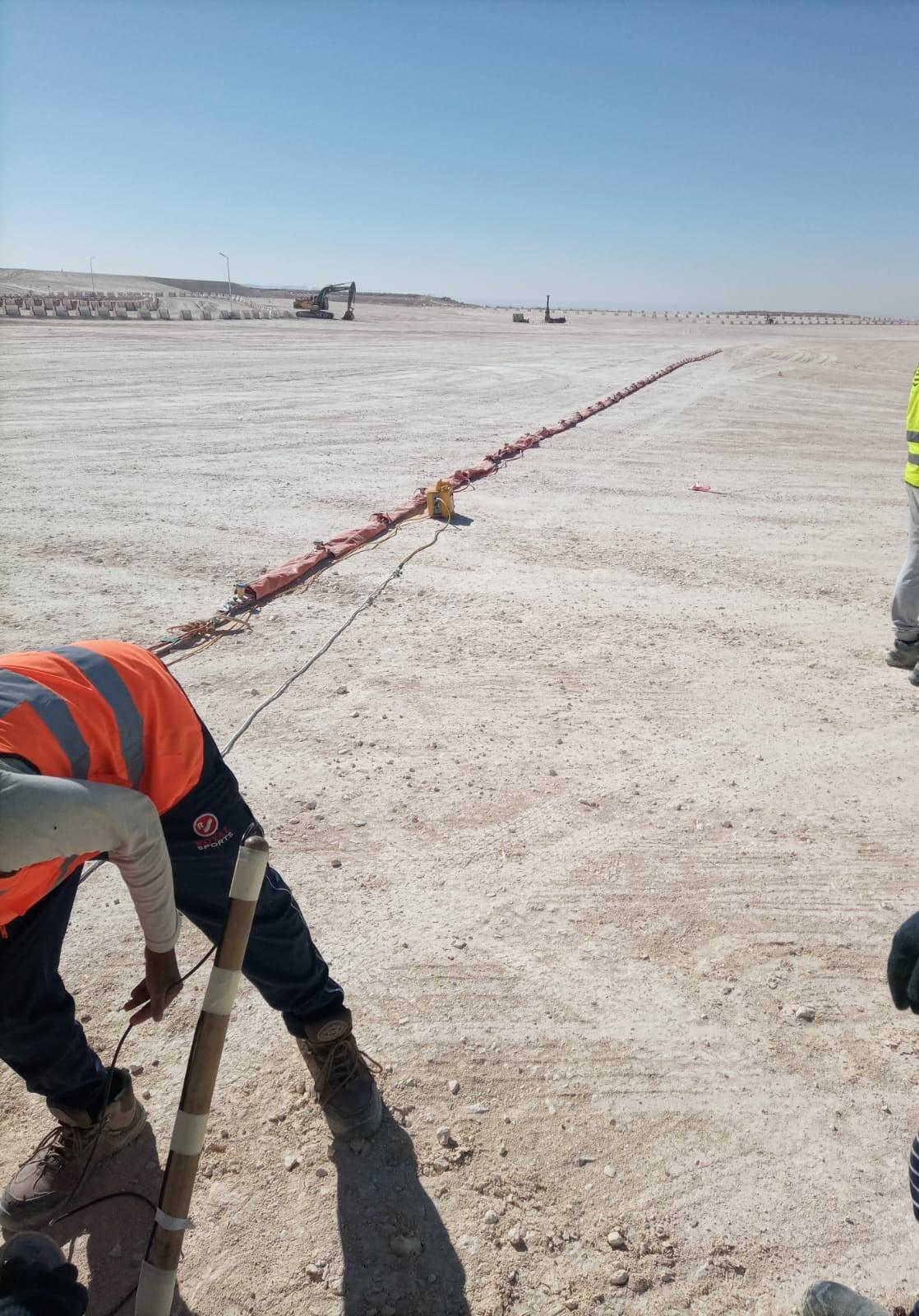
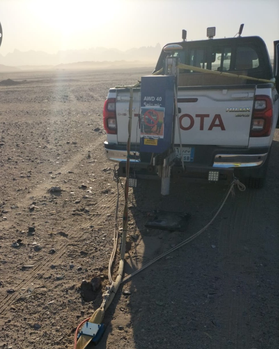
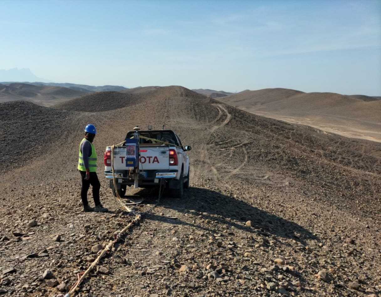
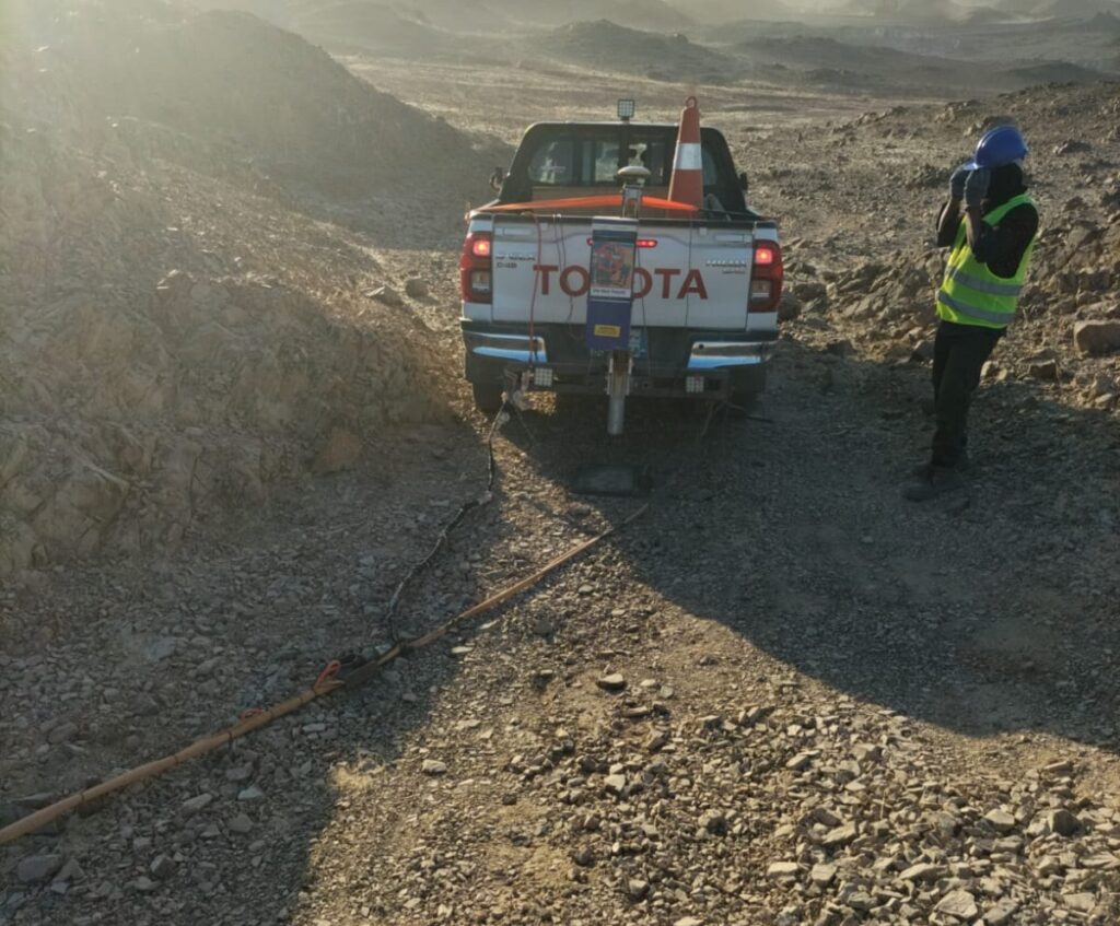
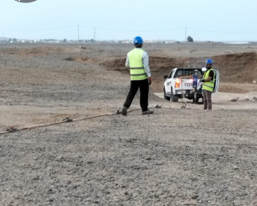
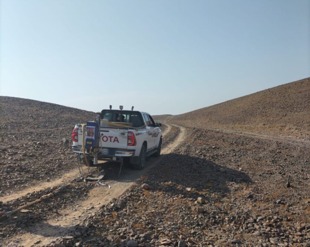
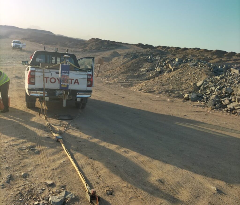
Our geophysicists design each survey around the depth of interest and the site conditions. A typical active MASW setup uses a multichannel seismograph with a linear spread of low-frequency geophones and an impact source such as a sledgehammer on a strike plate. Array length and geophone spacing control the depth of investigation, which typically covers the upper 30 meters needed for Vs30 and can reach deeper with longer arrays, depending on site conditions.
Data quality is checked in the field before demobilizing. Processing includes dispersion analysis, picking the fundamental mode, inversion and quality review. Where the project needs it, we combine MASW with seismic refraction for P-wave velocities and rippability, or with crosshole and downhole seismic testing in boreholes for direct measurements at depth. Line positions are surveyed with GNSS so results tie to your site plan.
When Do You Need an MASW Survey?
- Seismic site classification for buildings, towers and infrastructure
- Soil and rock stiffness (small-strain shear modulus) for foundation design
- Mapping soft zones, loose fill or variable ground across a site
- Estimating depth to stiffer layers or bedrock
- Supplementing boreholes between test locations and checking ground improvement
Deliverables
- 1D Vs profiles for each test location
- 2D Vs cross-sections along survey lines, where specified
- Vs30 values and the corresponding seismic site class
- Estimated small-strain shear modulus where density information is available
- A technical report with methods, data quality, interpretation and limitations
- Location plans in AutoCAD
Quality and Limitations
MASW gives reliable stiffness information over large areas, but like all geophysical methods its results are interpretations. Strong velocity inversions, very shallow hard layers, steep topography or heavy traffic noise can affect results. We calibrate interpretation against boreholes and trial pits where available, and we explain any uncertainty clearly in the report.
Related guide: MASW survey guide.
This service is part of our wider geophysical survey in Saudi Arabia services, which combine several methods when a project needs them.
Active MASW Setup
A multichannel seismograph with a linear spread of low-frequency geophones and an impact source such as a sledgehammer on a strike plate.
Field Quality Checks
Data quality is checked in the field before demobilizing, then processed through dispersion analysis, picking the fundamental mode, inversion and quality review.
Vs30 and Site Class
Vs30 values and the corresponding seismic site class for foundation and geotechnical design, obtained quickly and without drilling.
Report and CAD
A technical report with methods, data quality, interpretation and limitations, plus location plans in AutoCAD.
In-House Geophysicists
Combined Methods
Clear Reports
5+ Years, 100+ Projects
Why Choose EarthScape?
Sectors We Serve
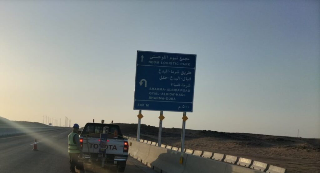
MASW supports construction, energy, mining and environmental projects. Our team has worked on sites ranging from international airports to residential developments, and our results feed into geotechnical, structural and infrastructure design.
Frequently Asked Questions
What is the difference between MASW and seismic refraction?
MASW measures shear-wave velocity using surface waves and works even where stiffness does not increase steadily with depth. Seismic refraction measures P-wave velocity and is well suited to bedrock depth and rippability. They are often used together.
Can MASW replace boreholes?
No. MASW complements boreholes. It covers large areas quickly and fills gaps between boreholes, but boreholes are still needed for samples and direct observation.
How deep can MASW investigate?
Typical active surveys cover the upper 30 meters needed for Vs30. Depth depends on the array length, source energy and ground conditions.
How long does an MASW survey take?
Several MASW soundings can usually be completed in a day, depending on access and the number of lines. Reporting follows once processing is complete.
Does MASW work in urban areas?
Yes, although traffic and machinery noise can affect data. We plan acquisition times and quality checks to manage noise on busy sites.
Book a MASW Survey
Need Vs30 or soil stiffness data for your project anywhere in Saudi Arabia? Call +966 55 679 8661 or +966 53 875 9468, email info@earthscapesurvey.com, or contact our team to discuss your site.