When a structural engineer asks for shear-wave velocity on a site in Saudi Arabia, the usual answer is MASW. It is quick to run, it does not need a borehole, and it gives a Vs profile you can use straight away for site classification and early foundation design. This guide explains how a MASW survey works on the ground, what you get at the end, and where it fits alongside boreholes and other geophysical methods.
What is a MASW survey?
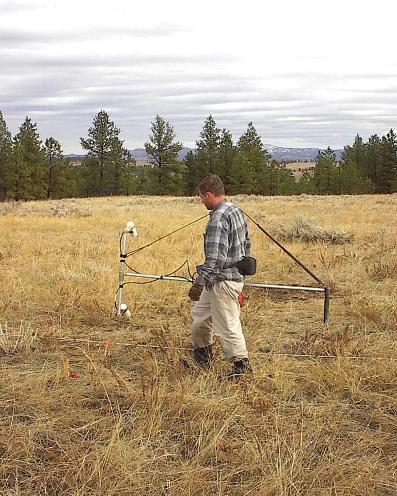
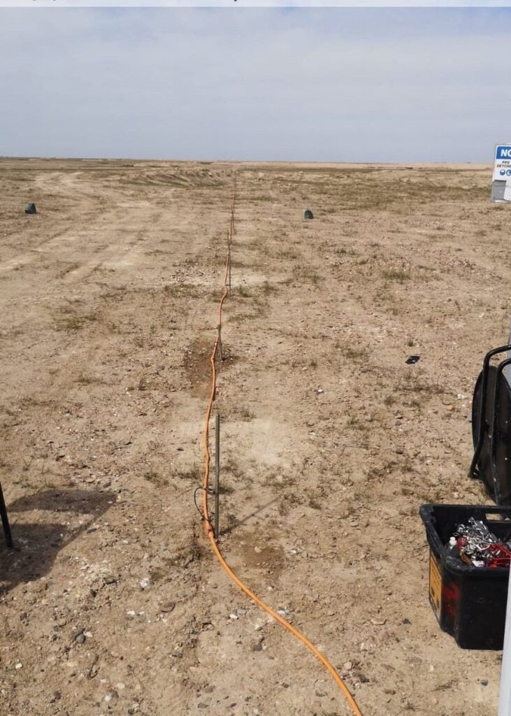
MASW stands for Multichannel Analysis of Surface Waves. We put a straight line of geophones on the ground, create a seismic source at one end, and record the surface waves that travel along the spread. Surface waves of different frequencies reach different depths, so they travel at different speeds. By measuring that change in speed with frequency (the dispersion), we can work back to a profile of shear-wave velocity (Vs) against depth.
Shear-wave velocity is directly linked to soil and rock stiffness. That is why it matters to designers: it tells you how stiff the ground is, layer by layer, without disturbing it.
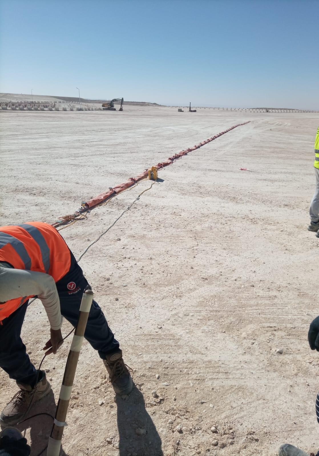
Why MASW is used on projects in KSA
Seismic site classification
Building codes classify sites using the average shear-wave velocity in the top 30 metres, known as Vs30. The Saudi Building Code follows this approach, and a MASW line is one of the most practical ways to measure it. A reliable Vs30 value can move a site into a better class than a conservative assumption would give, which can have a real effect on structural design.
Stiffness and foundation design
Vs values feed into small-strain shear modulus, which geotechnical engineers use for foundation settlement checks, machine foundations and dynamic analysis. For tanks, plant foundations and heavy equipment pads, this is often the parameter they are missing.
Filling the gaps between boreholes
Boreholes tell you exactly what is at one point. MASW gives you a continuous picture along a line. On a large plot or a long road alignment, a few MASW lines between boreholes show whether the ground is consistent or whether there is a soft pocket, a buried channel or a sudden change in rockhead.
How we run a MASW survey in the field
Planning the lines
Before mobilising we look at the site layout, the planned structures and any borehole logs that already exist. Lines are placed over the footprint of key structures and, where possible, next to boreholes so the results can be checked against real soil descriptions. Spread length controls depth of investigation, so if Vs30 is required we make sure the line is long enough to reach it.
Source and receivers
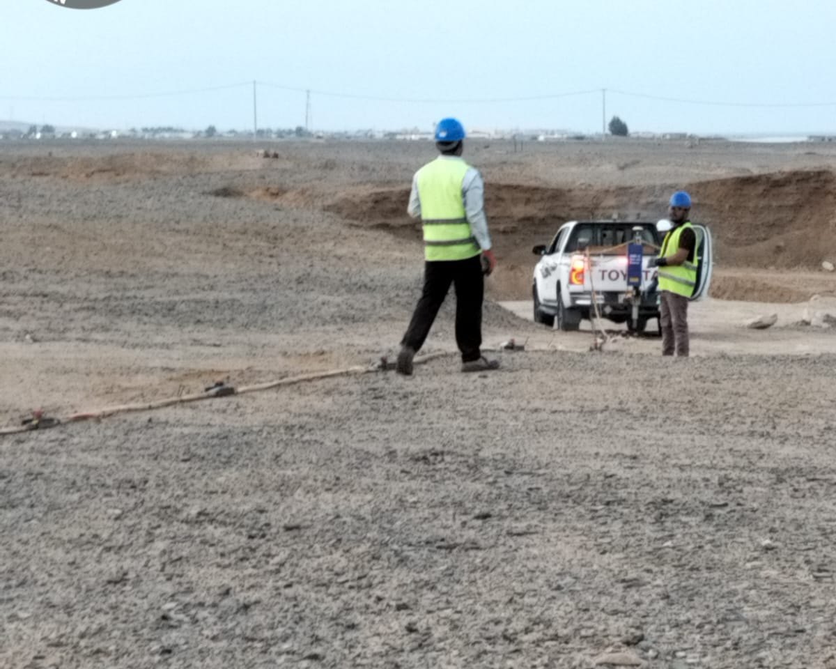
For short lines on open ground, a sledgehammer on a strike plate is often enough. For deeper targets or longer alignments we use an accelerated weight-drop source mounted on a vehicle and a towed land streamer, which lets the crew cover many lines in a day on roads, tracks and graded ground. Multiple shots are stacked at each position to improve the signal against background noise from traffic, generators and nearby plant.
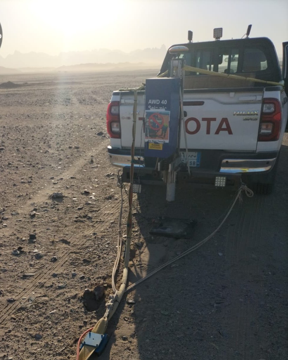
Quality checks on site
We do not leave site and hope the data is good. Shot records and dispersion images are reviewed on a laptop in the vehicle as the work goes on. If the dispersion curve is weak or noisy, the shot is repeated or the geometry is changed there and then. This is the step that saves a remobilisation later.
Processing and reporting
Back in the office, dispersion curves are picked and inverted to produce 1D Vs profiles, and where lines are long enough, 2D Vs sections. The report gives layer velocities, Vs30 with the site class, line locations and plots, and notes on how the results compare with any borehole information.
Practical points for Saudi sites
- Hard surface layers: caliche, cemented sand and shallow limestone are common. A stiff layer over softer material can make the dispersion harder to interpret, so lines near boreholes are valuable.
- Noise: on live roads and working plants we plan shooting around traffic and equipment, and stack more shots where needed.
- Heat: in summer we start at first light. Equipment and crew both perform better before midday.
- Access and permits: on industrial sites, work permits and safety inductions are arranged before mobilisation so field days are not lost.
MASW compared with other methods
MASW is not the only tool. Seismic refraction is better for mapping depth to rockhead and compressional velocity. Electrical resistivity tomography (ERT) is the right choice for cavities, moisture, groundwater and earthing design. For many projects we combine MASW with one of these and tie everything to geotechnical boreholes or trial pits. Each method answers a different question, and using them together gives the engineer more confidence than any one on its own.
Why choose Earthscape for MASW in Saudi Arabia
Earthscape Survey Technologies has been working across the Kingdom for more than five years, and every member of our field team has over ten years of survey experience. We run the fieldwork, QC and processing in-house, so the people who collected the data are the ones who interpret it. You can read more on our MASW survey service page.
Frequently asked questions
How deep can a MASW survey investigate?
Depth depends mainly on the spread length and the source. Typical surveys reach around 30 metres, enough for Vs30, and deeper investigation is possible with longer spreads and a heavier source.
Can MASW replace boreholes?
No. MASW measures stiffness, not soil type or strength directly. It works best alongside boreholes, reducing the number needed and covering the ground between them.
How long does a MASW survey take?
Fieldwork for a typical building plot is often completed in a day. Larger sites and road alignments take longer, and the report follows after processing. We give a clear timeline with every quotation.
Request a MASW survey quote
Need Vs30 or a shear-wave velocity profile for your project? Send us the site location, plot size and design requirements through our Get a Quote page or email info@earthscapesurvey.com, and we will come back with a method statement and price.