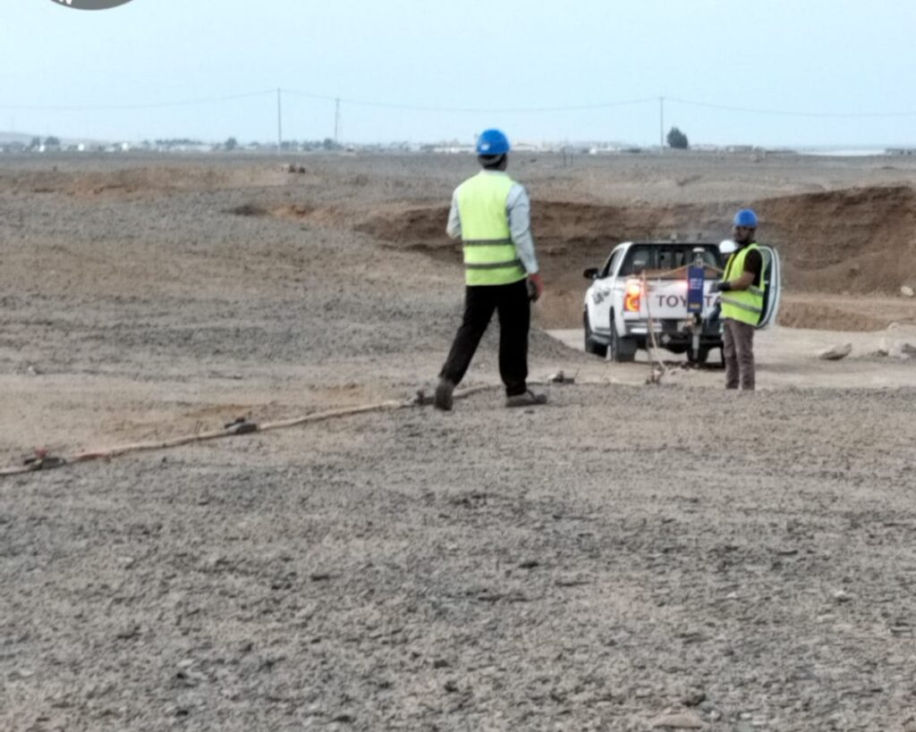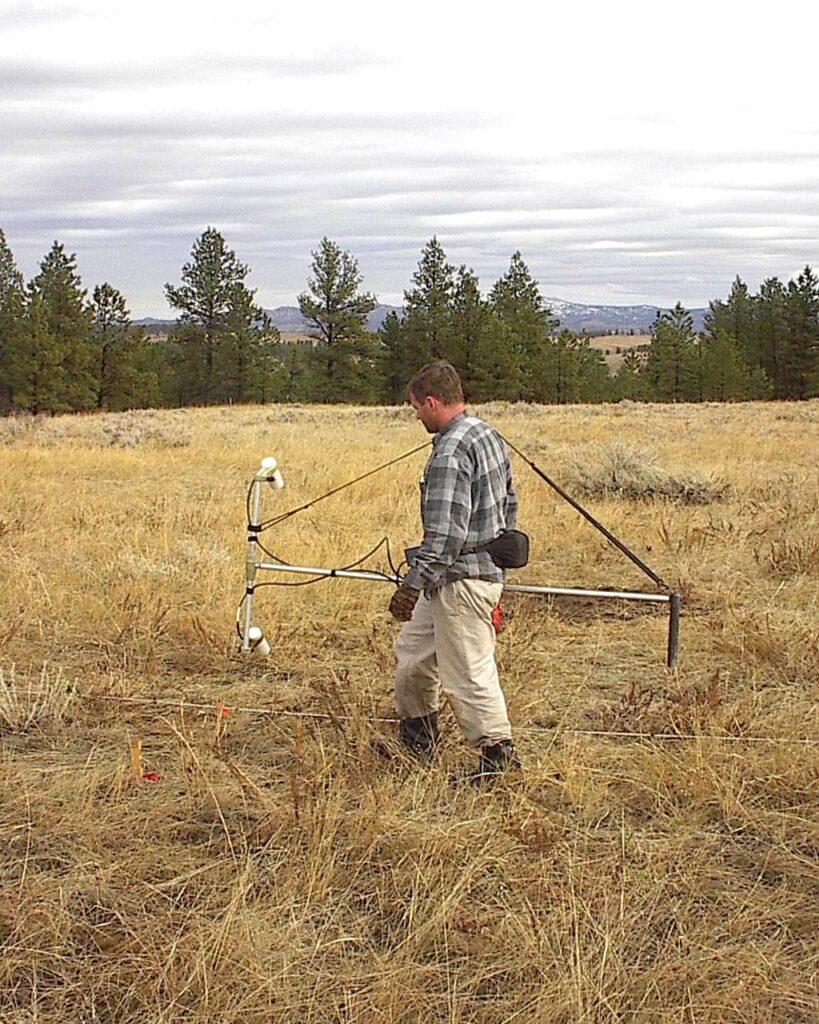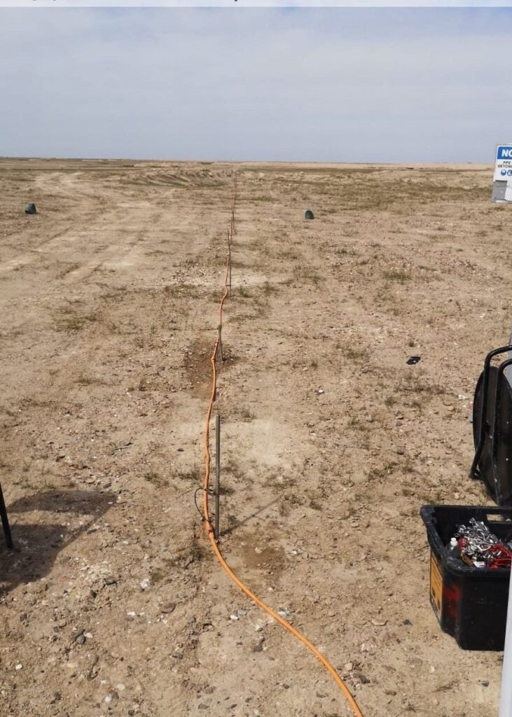
Some of the most worrying ground problems are the ones you cannot see: a solution cavity in limestone, an old collapsed well, or loose ground that could settle under a new foundation. Drilling boreholes everywhere is slow and expensive, and a borehole only tells you about one spot. A microgravity survey lets you screen the whole site first and then drill only where the ground looks suspicious.
What is a microgravity survey?
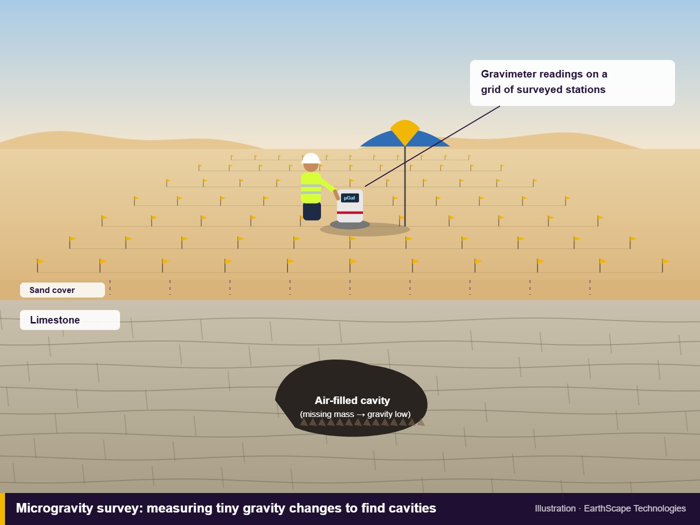
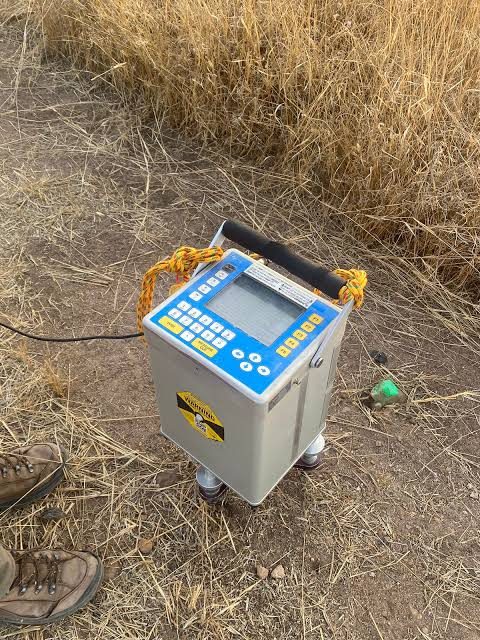
Gravity is not exactly the same everywhere. It is very slightly stronger above dense rock and very slightly weaker above anything lighter, such as an air-filled cavity or loose fill. A microgravity survey uses a highly sensitive gravimeter to measure these tiny differences at many points across a site.
How tiny? The changes we look for are measured in microgals. One microgal is about one billionth of the normal pull of gravity. That is why the method needs careful fieldwork and processing, but it is also why it can “see” voids that other methods miss.
How the survey is done
Grid of stations
We set out a grid of measurement stations over the area of concern. Spacing depends on the size of the feature we are looking for: tighter for small voids under a building, wider for regional screening.
Readings and repeats
At each station the gravimeter is levelled and left to settle before taking readings. We return regularly to a base station so we can correct for instrument drift and the effect of the moon and sun (earth tides).
Precise levelling
Every station needs an accurate height, because gravity changes by roughly three microgals for every centimetre of elevation. We survey station heights with a total station or precise levelling, not just a handheld GPS.
Processing
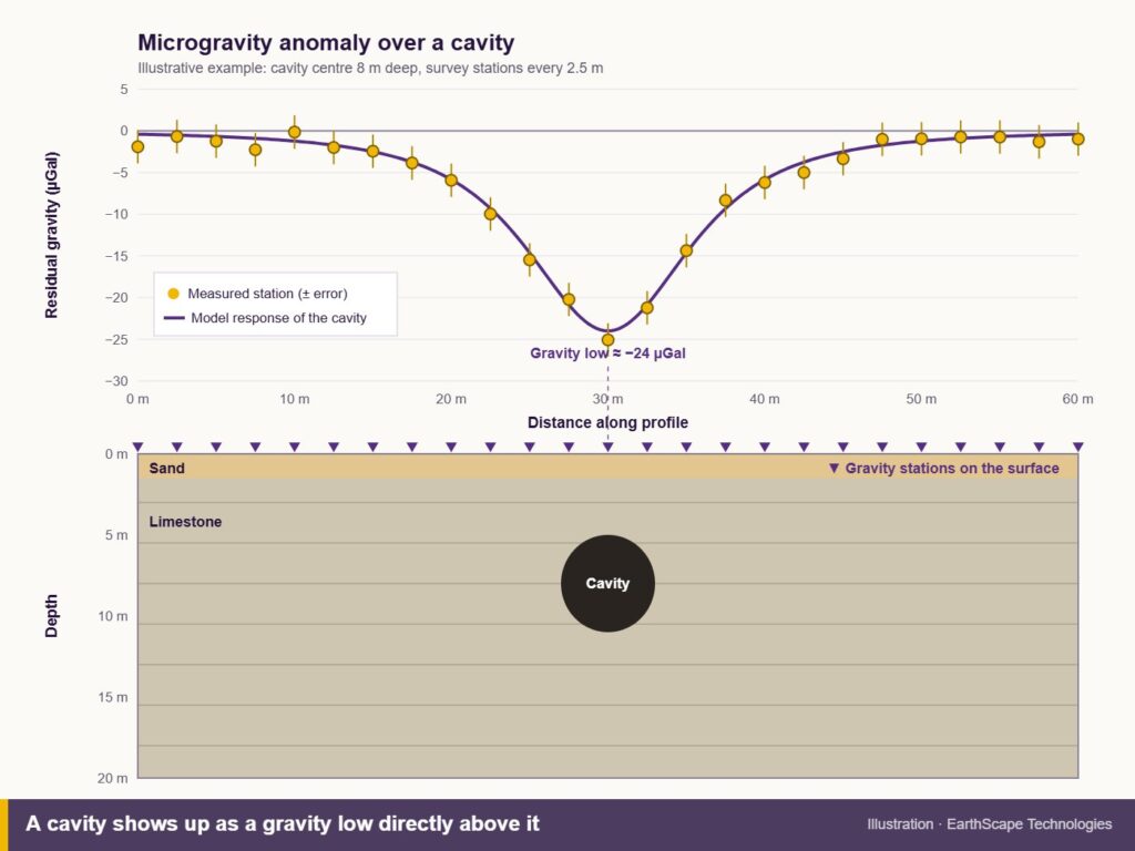
The data is corrected for latitude, elevation, the surrounding terrain and nearby buildings. What is left, called the residual anomaly, shows areas of missing mass. A low that stands out from the background is a potential void.
Where microgravity is useful in Saudi Arabia
- Karst and solution cavities in limestone areas
- Sinkhole investigations and areas with a history of ground collapse
- Old wells, tanks and buried structures on redevelopment sites
- Checking ground under existing buildings, roads and slabs where other methods struggle
- Selecting borehole locations so drilling targets the real anomalies
Our cavity and sinkhole detection page explains how we combine methods for these jobs.
Strengths and limitations
Microgravity works well in places that are difficult for other geophysics. It is not affected by electrical noise, steel reinforcement or surface paving in the same way as electrical or electromagnetic methods, so it can be used inside buildings and on hard-paved areas.
It does have limits. Very small or very deep cavities may produce an anomaly too small to detect. Vibration from traffic or machinery adds noise, so busy sites are often surveyed at night. And a gravity low shows missing mass, not what is causing it, so results are always confirmed with targeted boreholes or probing.
Microgravity compared with other methods
- Electrical Resistivity Tomography (ERT) gives a cross-section of the ground and is very good for cavities, groundwater and layering in open ground. It needs electrodes in the soil, which is harder on paved areas.
- MASW measures ground stiffness. Soft or loosened zones above cavities often show up as low-velocity areas.
- GPR gives high-resolution images of shallow voids, but its depth is limited, especially in clay or saline ground.
For important sites we often combine two methods. For example, microgravity to screen a large area, then ERT or boreholes on the anomalies.
Frequently asked questions
How deep can microgravity detect a cavity?
It depends on the size of the cavity and the contrast with the surrounding rock. As a general rule, the larger the void, the deeper it can be detected. We model expected anomalies before the survey to check the method suits the target.
Can microgravity be used inside a building?
Yes. It is one of the few methods that works well on floor slabs and in basements, as long as building mass is accounted for in processing.
Does a microgravity survey replace boreholes?
No. It reduces the number of boreholes and tells you where to drill. Boreholes then confirm what the anomaly is.
Talk to us about a cavity investigation
EarthScape carries out gravity and microgravity surveys across Saudi Arabia. If you are worried about voids or sinkholes on your site, send us the location, the structure planned and any ground investigation data through our Get a Quote page. We will advise whether microgravity, ERT or a combination is the right approach.