Every construction, infrastructure and utility project starts with the same question: what is already under the ground? A GPR survey answers that question without digging. If you are planning work anywhere in the Kingdom, this guide explains what a GPR survey in Saudi Arabia involves, how ground penetrating radar works, what it can and cannot detect, and how to get reliable results for your site.
EarthScape Technologies for Survey and Geological Exploration has carried out GPR and geophysical surveys for more than 5 years, with a team of 20+ experts and 100+ completed projects for contractors, consultants and developers across Saudi Arabia, working from our office in Riyadh.
Table of Contents
ToggleWhat Is Ground Penetrating Radar (GPR)?
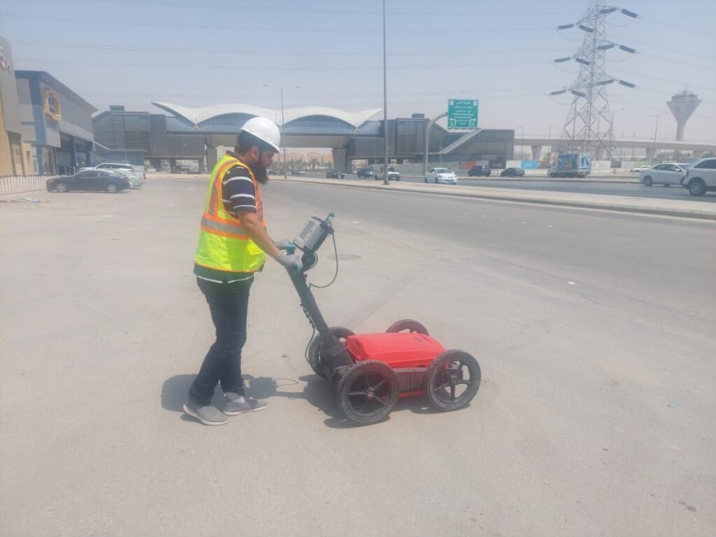
Ground penetrating radar is a non-destructive geophysical method. A GPR unit sends short pulses of radio energy into the ground or into a structure. When the pulse meets a change in material, such as a pipe, a cable, a void, a rebar or a change in soil layer, part of the energy reflects back to the receiving antenna. The system records the time it takes for each reflection to return and builds a cross-section image of the subsurface, called a radargram.
Trained analysts read these radargrams to identify the typical hyperbola shape of a buried pipe or cable, the flat reflections of soil layers, and the signals that show voids or disturbed ground. The positions are then tied to survey coordinates so every feature can be drawn on a plan.
How Deep Can GPR See?
There is no single answer. Depth depends on two things:
- Antenna frequency. High-frequency antennas give very fine detail at shallow depth, which suits concrete scanning. Lower-frequency antennas see deeper but with less detail, which suits utility and geological work.
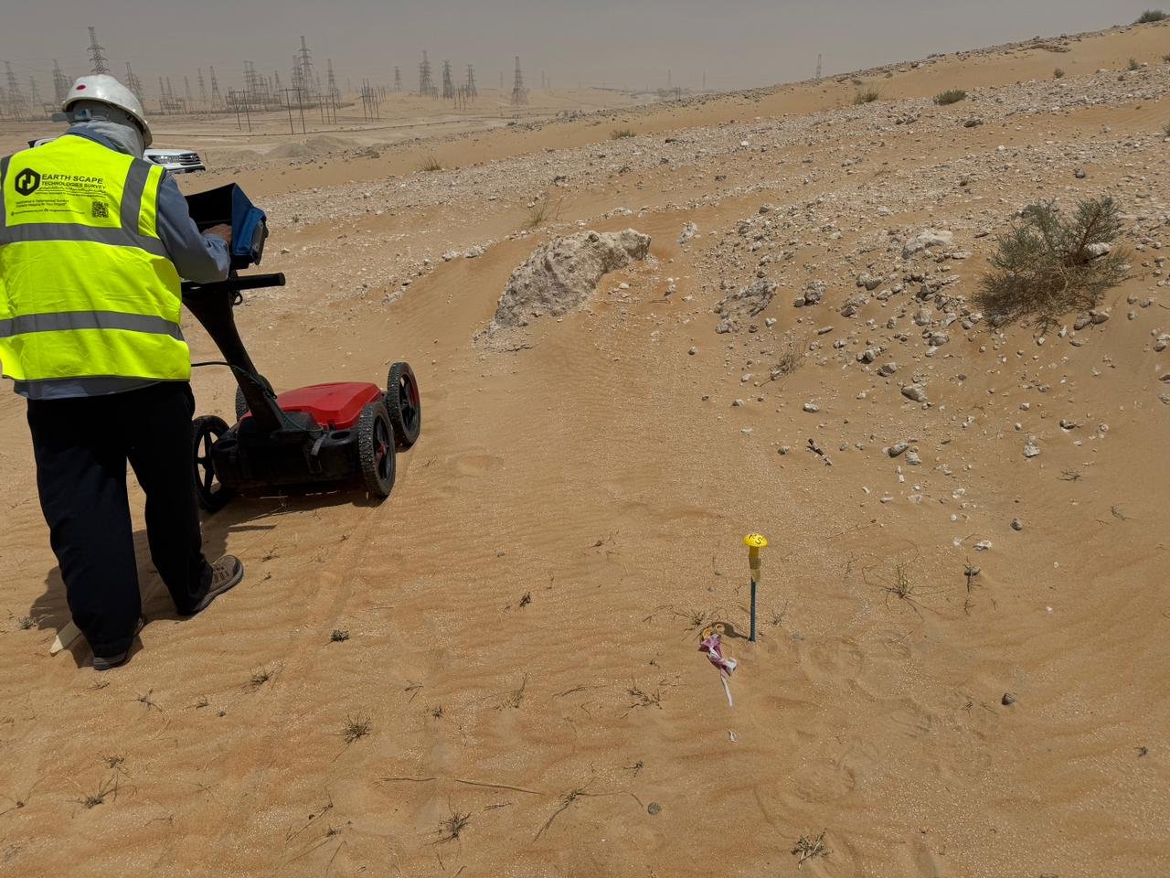
- Ground conditions. Dry sand and rock usually allow good penetration. Wet, clay-rich or salty ground absorbs the radar signal and reduces depth. Saline soils, such as those found in some coastal and sabkha areas, can significantly limit GPR, so a good survey plan combines GPR with other methods where needed.
What Can a GPR Survey Detect?
A GPR survey is useful on almost every type of project. Common targets include:
- Underground utilities: metallic and non-metallic pipes, ducts, cables and chambers. GPR is one of the few methods that can detect plastic and concrete pipes, which electromagnetic locators cannot trace.
- Rebar, post-tension cables and conduits in concrete: before coring, drilling or cutting slabs, walls and columns.
- Voids and cavities: washouts under roads, slabs and pavements, and natural cavities in the ground.
- Soil and rock layers: depth to bedrock, fill thickness and changes in ground conditions.
- Buried structures: old foundations, tanks, footings and other obstructions that can delay piling and excavation.
Where Is GPR Used in Saudi Arabia?
The pace of construction in the Kingdom means many sites have dense, poorly recorded underground networks. GPR is used on:
- Road, bridge and highway projects, before widening, trenching and drainage works
- New buildings and expansions, before piling, foundations and excavation
- Utility and telecom projects, to plan new routes around existing services
- Industrial plants and facilities, where unexpected strikes can stop operations
- Existing buildings, where concrete must be scanned before coring or anchoring
GPR Survey Methods We Use
GPR for Utility Mapping
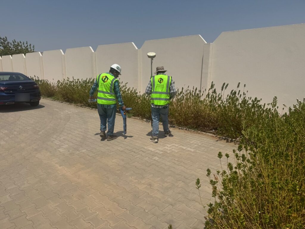
For utility work, GPR is combined with electromagnetic location (radio detection). EML traces metallic cables and pipes very well, while GPR picks up non-metallic services and confirms what EML finds. Together they give a much more complete picture. For projects that require a recognized standard, we deliver this work as a PAS 128 utility survey with clear quality levels for every line.
GPR Concrete Scanning
Before drilling or cutting concrete, high-frequency GPR shows the position and spacing of rebar, conduits and post-tension tendons, and gives an estimate of slab thickness. Learn more on our rebar and concrete scanning page.
GPR for Geological and Geotechnical Work
GPR can map shallow soil layers, bedrock and voids. For deeper ground information, it is often paired with seismic methods such as MASW surveys and with trial pits or boreholes.
How a GPR Survey Works, Step by Step
- Scope and records review. We agree the survey area, targets and deliverables, and review any available drawings and utility records.
- Site reconnaissance. Our team walks the site and records visible features such as manholes, valves, chambers and marker posts.
- Data collection. GPR is run in a grid or along planned lines. Where utilities are expected, EML locating is carried out at the same time.
- Positioning. Detected features are marked on site and surveyed with GNSS or total station to the project coordinate system.
- Processing and interpretation. Analysts process the radargrams and identify utilities, rebar, voids and layers.
- Reporting and drawings. You receive a clear report and drawings in CAD, and BIM where required, through our CAD drafting and BIM team.
Limitations of GPR: What to Expect
A good survey company is honest about limits. GPR results depend on ground conditions, target size, depth and material. Very small or very deep targets may not show clearly, and wet or saline ground can reduce depth. Reinforced concrete surfaces above a utility can also mask what is below. That is why we combine GPR with other methods and, where the risk is high, recommend trial pits to confirm position and depth directly.
Why Choose EarthScape for Your GPR Survey in Saudi Arabia?
- Experience: 5+ years of geophysical and utility survey work and 100+ completed projects
- People: 20+ experts including surveyors, geophysicists, data analysts and CAD/BIM specialists
- Kingdom-wide service: teams mobilize to project sites across Saudi Arabia from our Riyadh office
- Integrated delivery: GPR, radio detection, MASW, magnetic surveys, laser scanning, drone surveys, setting out and CAD/BIM from one company
- Trusted by 40+ clients in construction, infrastructure and engineering
Frequently Asked Questions
Is a GPR survey safe?
Yes. GPR is non-destructive and uses very low-power radio signals. It does not require any digging or drilling, and it is safe for people, structures and the environment.
How long does a GPR survey take?
It depends on the size of the site, the targets and the access. Small concrete scanning jobs can often be completed in a few hours, while large utility surveys may take several days. We confirm the timeline once we understand your scope.
Can GPR detect plastic pipes?
Often, yes. GPR responds to changes in material properties, so it can detect non-metallic pipes and ducts that electromagnetic locators cannot trace. Results depend on pipe size, depth, contents and ground conditions.
Do you provide GPR surveys outside Riyadh?
Yes. Our office is in Riyadh, but we carry out GPR surveys on project sites across Saudi Arabia.
What do I receive at the end of a GPR survey?
You receive marked-up findings on site where required, a written report, and drawings in CAD format showing the detected features with their positions and estimated depths. BIM models can be provided on request.
Get a GPR Survey Quote
Planning excavation, piling, coring or design work anywhere in the Kingdom? Talk to our team about the right GPR survey for your site. Call +966 55 679 8661, email info@earthscapesurvey.com or send your project details through our contact page.