Not all utility drawings are equal. A line copied from an old record and a pipe exposed in a trial pit can look exactly the same on a plan, but they carry very different levels of risk. PAS 128 solves this problem by giving every utility a quality level. This guide explains how a PAS 128 utility survey works for projects in Saudi Arabia, what QL-D, QL-C, QL-B and QL-A mean, and how to choose the right level for your utility survey in KSA.
EarthScape Technologies delivers PAS 128 utility surveys for contractors, consultants and developers across the Kingdom from our office in Riyadh, backed by 5+ years of experience and 100+ completed projects.
What Is PAS 128?
PAS 128 is a specification published by the British Standards Institution (BSI) for underground utility detection, verification and location. It is not a Saudi regulation, but many consultants and clients in the Kingdom specify it because it gives a clear, shared way to describe how reliable utility information is.
The core idea is simple: every utility shown on a survey drawing should state how it was found. That statement is the quality level. Designers and contractors can then decide where they can rely on the drawing and where more investigation is needed before digging.
The Four PAS 128 Quality Levels
QL-D: Desktop Utility Records Search
QL-D is the starting point. Existing records are collected from utility owners, previous surveys, as-built drawings and other available sources and combined into one plan.
- What it gives you: an overview of which services may be present
- Limitations: records are often incomplete, out of date or inaccurate in position and depth
- Best for: early feasibility and route planning
QL-C: Site Reconnaissance
QL-C adds a site walkover. Surveyors identify visible surface features such as manhole covers, valve boxes, chambers, cabinets, street lights and marker posts, and correlate them with the records from QL-D.
- What it gives you: confirmation that services exist in the area and roughly where they enter and leave the site
- Limitations: the route between surface features is still assumed, and depth is unknown
- Best for: concept design and planning the detection survey
QL-B: Detection
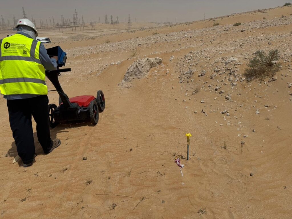
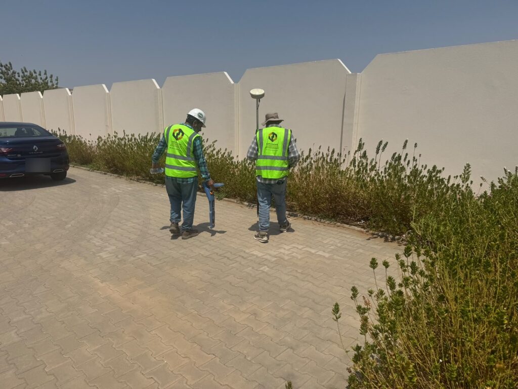
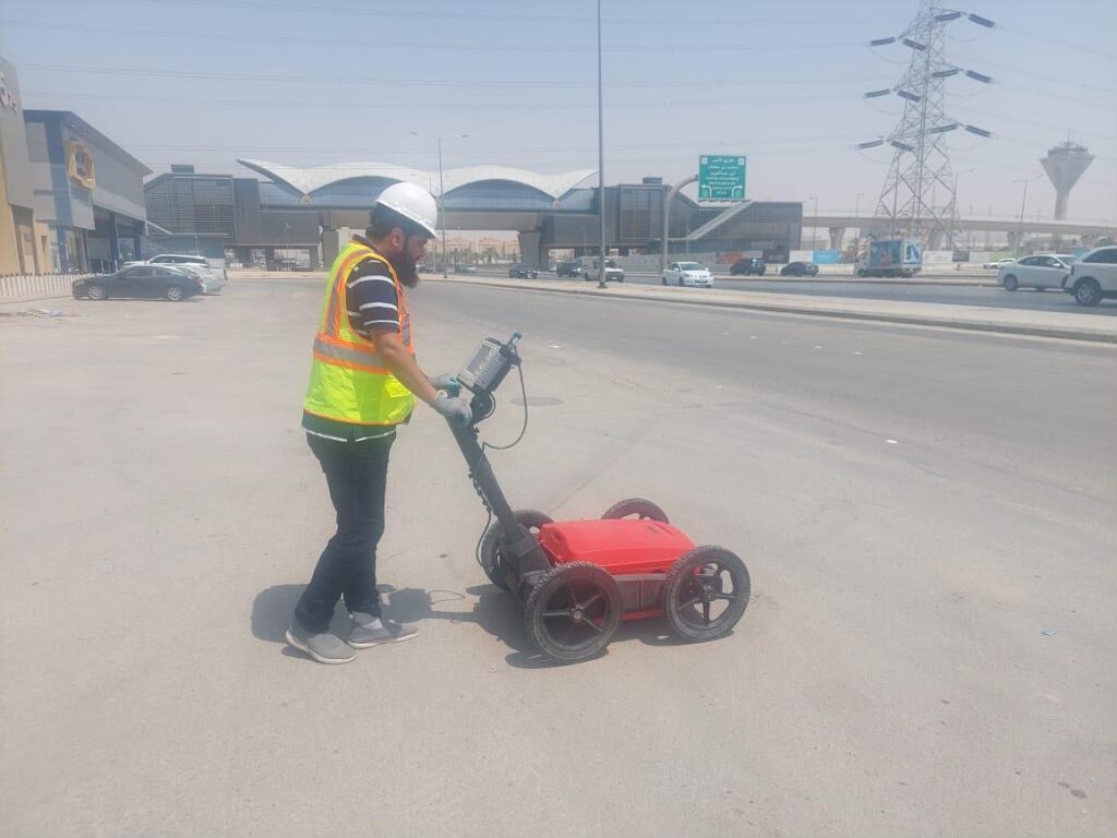
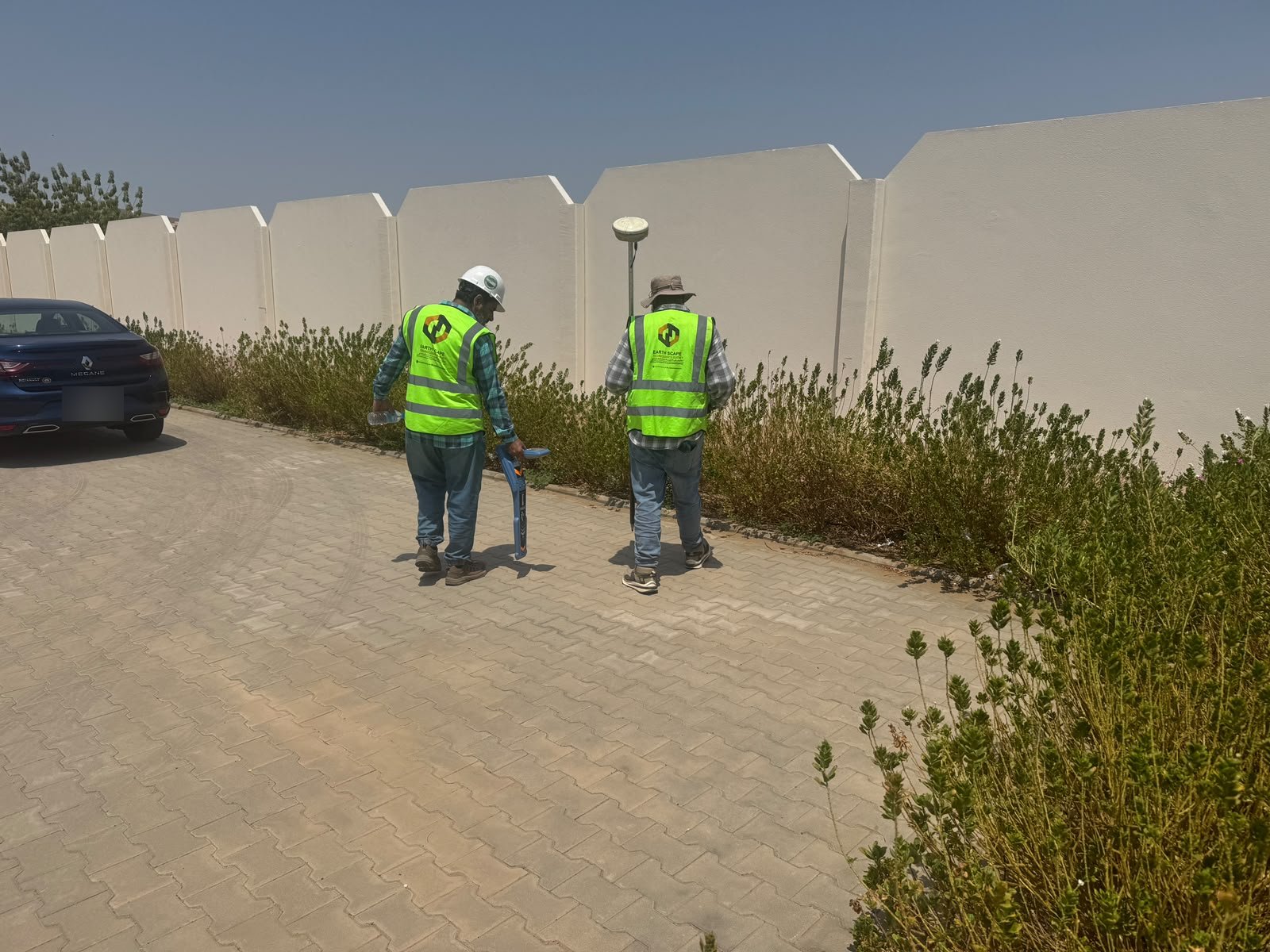
QL-B is where the main geophysical work happens. Buried utilities are detected and mapped using electromagnetic location (EML) and ground penetrating radar (GPR). EML, also known as radio detection, traces metallic cables and pipes, while GPR detects both metallic and non-metallic services such as plastic and concrete pipes. Our cable and pipe locating service covers the EML part of this work in detail.
PAS 128 divides QL-B into sub-levels based on how confidently each utility was detected and how accurately its horizontal position and depth could be determined. A utility detected clearly by two methods carries more confidence than one picked up weakly by a single method.
- What it gives you: a mapped network of utilities with positions and estimated depths, tied to the project coordinate system
- Limitations: detection depends on ground conditions, depth, size and material; some services may not be detected
- Best for: detailed design and planning of excavation
QL-A: Verification
QL-A is the highest level. Utilities are physically exposed, usually by hand-dug or vacuum-excavated trial pits or trial holes, so their exact position, depth, type, size and material can be confirmed and surveyed.
- What it gives you: direct, verified information at specific locations
- Limitations: it applies only where the utility was exposed, so it is used selectively
- Best for: critical crossings, tie-in points, piling locations and areas where QL-B results are uncertain
Which Quality Level Does Your Project Need?
Most projects do not choose a single level. A typical, cost-effective PAS 128 utility survey combines them:
- QL-D and QL-C for the whole site, to understand what to expect
- QL-B across the work area, to map what is actually there
- QL-A at selected points where certainty matters most
As a rough guide:
- Feasibility and route selection: QL-D and QL-C
- Detailed design of roads, utilities and buildings: QL-B across the site
- Excavation near high-risk services such as high-voltage cables, gas, fuel or main water lines: QL-B with QL-A verification
- Piling and foundations in congested areas: QL-B plus QL-A at pile positions near services
Always check your project specification, as the client or consultant may define the required levels.
What You Receive from a PAS 128 Survey
A well-delivered PAS 128 survey gives you more than a drawing. You should expect:
- A utility drawing in CAD showing each service, its type where known, estimated depth and quality level
- A report describing the methods used, site conditions and limitations
- Survey control so the data fits your design coordinates
- Trial pit records and photos for any QL-A locations
- BIM models of the utility network where required, prepared by our CAD drafting and BIM team
For a full overview of our service, see our PAS 128 utility survey in Saudi Arabia page.
Why PAS 128 Matters for Projects in KSA
Large-scale development across the Kingdom means many sites have layers of services installed at different times by different owners. Records are not always complete. Using PAS 128 helps project teams:
- Reduce the risk of utility strikes and the injuries, outages and delays that follow
- Avoid redesign caused by clashes discovered during construction
- Make clear decisions because everyone knows how reliable each line is
- Plan trial pits efficiently instead of digging blindly
Why Choose EarthScape for Your Utility Survey in KSA?
- 5+ years of utility and geophysical survey experience and 100+ completed projects
- 20+ experts, including field surveyors, geophysical analysts and CAD/BIM specialists
- Combined EML and GPR detection with survey-grade positioning
- Trial pit verification for QL-A where required
- Service across Saudi Arabia from our Riyadh office, trusted by 40+ clients
Frequently Asked Questions
Is PAS 128 mandatory in Saudi Arabia?
PAS 128 is a British specification, not a Saudi regulation. Many consultants and clients in the Kingdom specify it because it clearly describes how reliable utility information is. Check your project specification for the required standard and quality levels.
What is the difference between QL-B and QL-A?
QL-B means a utility was detected and mapped with geophysical methods such as GPR and electromagnetic locating. QL-A means it was physically exposed, usually in a trial pit, so its position and depth were confirmed directly.
Can a PAS 128 survey find every utility?
No survey method can guarantee that every utility will be found. Detection depends on ground conditions, depth, size and material. PAS 128 makes these limits clear by stating a quality level for each utility, and QL-A verification can be used where certainty is critical.
How long does a PAS 128 utility survey take?
It depends on the site size, the number of services, access and the quality levels required. A small site may take a day or two, while large road or infrastructure corridors take longer. We confirm the programme after reviewing your scope.
Do you carry out PAS 128 surveys outside Riyadh?
Yes. Our office is in Riyadh, and our teams carry out PAS 128 utility surveys on project sites across Saudi Arabia.
Request a PAS 128 Utility Survey
Need a utility survey in KSA with clear quality levels? Send us your site location and project details and we will recommend the right combination of QL-D to QL-A. Call +966 55 679 8661, email info@earthscapesurvey.com or use our contact page.