Almost every project starts with the same request from the design team: “We need a topo.” Architects need it to place the building, civil engineers need it for levels and drainage, and contractors need it to work out earthworks quantities. Yet a lot of people commission a topographic survey without being sure what they will get back. This article walks through it the way we would explain it on a site visit.
What is a topographic survey?
A topographic survey is an accurate map of the ground and everything on it. We measure the shape of the land (levels, slopes, high and low points) and the position of features such as buildings, boundary walls, kerbs, roads, manholes, poles, trees, fences and visible services. The result is a drawing that designers can trust as the starting point for their work.
What gets measured
- Ground levels: spot heights on a grid and along breaks in slope, used to create contours and a digital terrain model
- Hard features: buildings, walls, kerbs, edges of road, fences and gates
- Visible services: manhole covers, chambers, valves, street lights, poles, transformers
- Invert levels: where chambers can be opened safely, we record pipe depths and directions
- Soft features: trees, planting areas, sand dunes, wadis and drainage channels
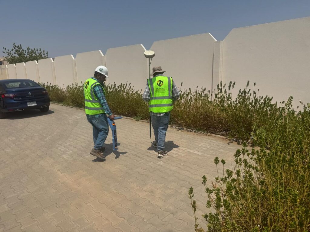
A topographic survey only records what can be seen. Buried cables and pipes need a separate GPR and utility survey. On most projects it makes sense to do both together, so the design team gets one combined drawing.
Equipment we use
GNSS RTK receivers
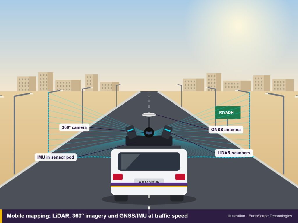
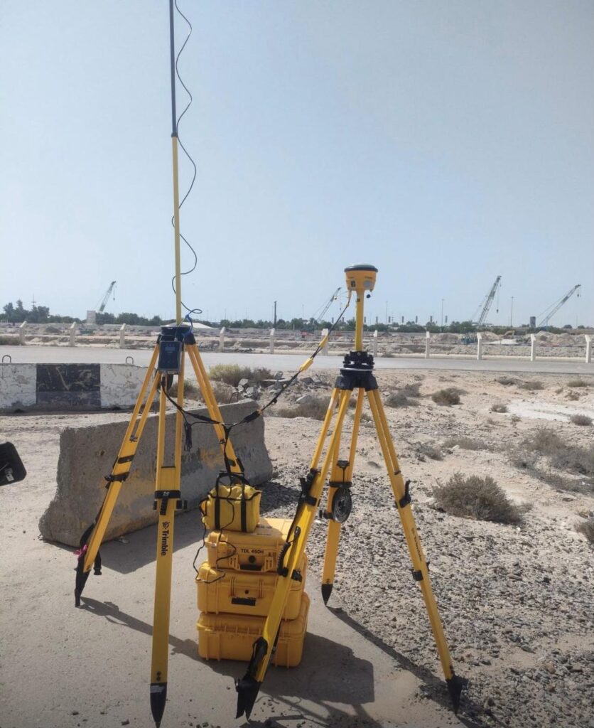
For open sites, GNSS receivers connected to a base station or a correction network give centimetre-level positions quickly. They are ideal for large plots, desert sites and road corridors.
Total stations
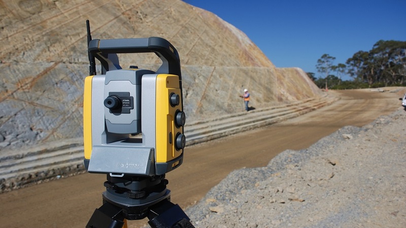
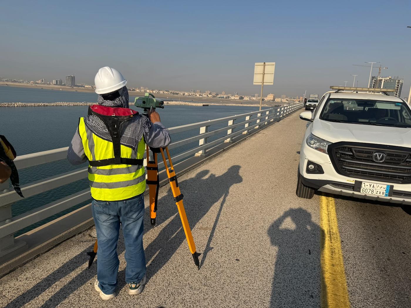
Where satellite signals are blocked, for example between tall buildings, under bridges or inside plants, we switch to a total station. It measures angles and distances to a prism and gives millimetre-level precision on hard detail.
Drones and laser scanners
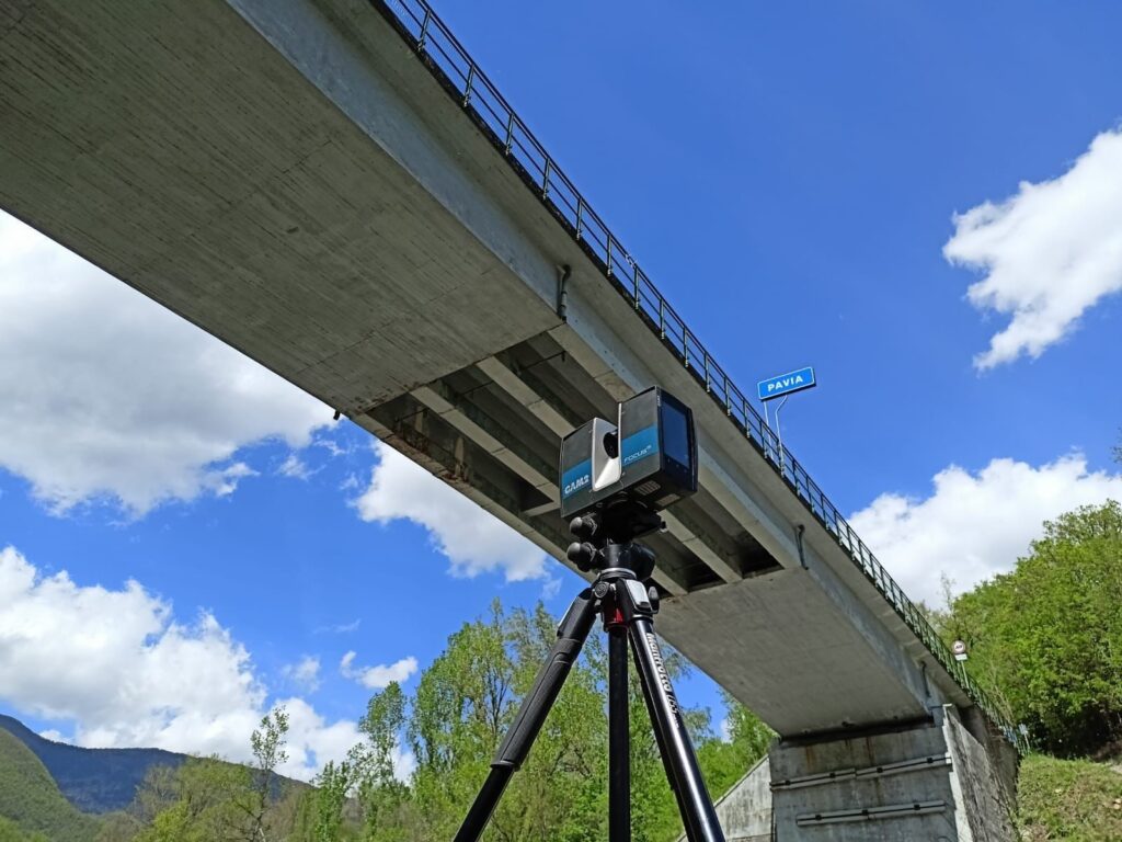
For very large areas, drone surveys capture the surface quickly. For complex structures and facades, 3D laser scanning records millions of points. Both are usually checked against ground control points measured with GNSS or a total station.
Coordinate systems in Saudi Arabia
This sounds technical, but it causes more problems than anything else. Projects in the Kingdom may use the national reference frame (KSA-GRF17), older systems such as Ain el Abd 1970, or a local site grid set up by the client. Levels may be tied to a specific benchmark. If the survey is in a different system from the design drawings, nothing lines up. We always confirm the coordinate system and benchmark with the client before fieldwork starts.
Deliverables
- AutoCAD drawing (DWG) with layers for each feature type
- Contours at an agreed interval and spot levels
- Digital terrain model for earthworks and drainage design
- Survey report with control points, equipment and accuracy statement
- Optional: longitudinal and cross sections, volumes, point clouds
Topographic vs setting-out vs as-built surveys
These three are often confused, so here is the short version:
- Topographic survey comes first. It records the site as it is today, before design.
- Setting-out happens during construction. We take the designed coordinates and mark them on the ground so the contractor builds in the right place.
- As-built survey comes at the end. It records what was actually built, so the final drawings match reality.
We cover the last two in more detail on our setting-out and as-built survey page.
How long does it take?
A villa plot can usually be surveyed in a few hours. A large industrial site or a several-kilometre road corridor can take days, plus office time for drafting. Dense urban sites take longer than open desert because of the amount of detail to pick up.
Frequently asked questions
How accurate is a topographic survey?
With GNSS RTK, positions are typically within a couple of centimetres. With a total station, hard detail can be measured to a few millimetres. The accuracy we deliver is stated in the survey report.
Does a topographic survey show underground utilities?
No. It shows visible features and covers only. Buried services need a GPR and utility survey, which we can carry out at the same time.
What information do you need to quote?
A location pin or boundary, the purpose of the survey, the coordinate system required and the deliverables you need.
Book a topographic survey
EarthScape carries out topographic surveys across Saudi Arabia, from small plots in Riyadh to long infrastructure corridors. Send your site details through our Get a Quote page and we will come back with a scope and price.