If you have ever tried to redesign an old plant room using drawings from the 1990s, you know the problem. The drawings say one thing, the site says another, and nobody finds out until a new pipe will not fit. 3D laser scanning solves this by recording the building or structure exactly as it is, in millions of measured points. This guide explains how it works and where it saves money on projects in Saudi Arabia.
What is 3D laser scanning?
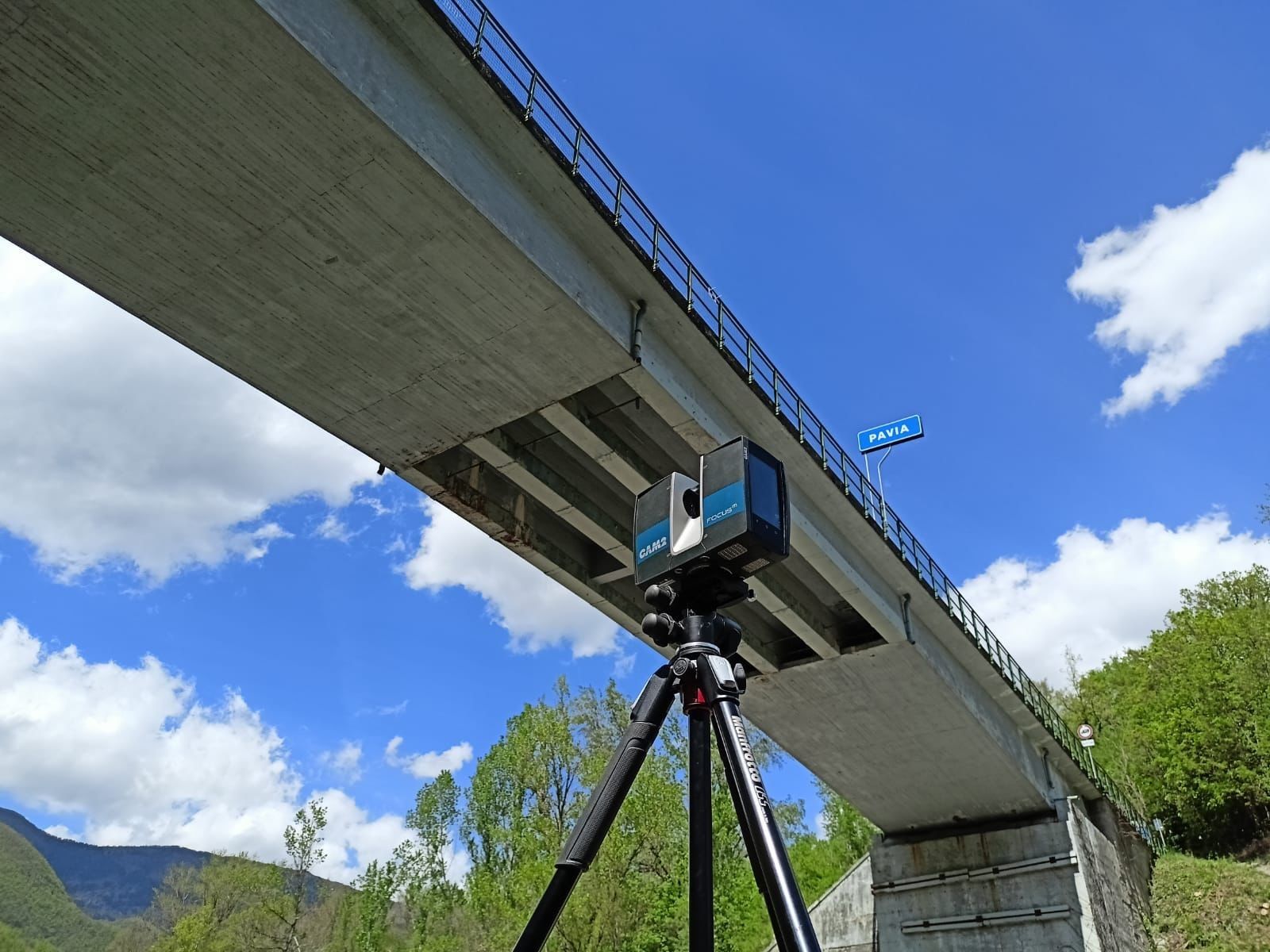
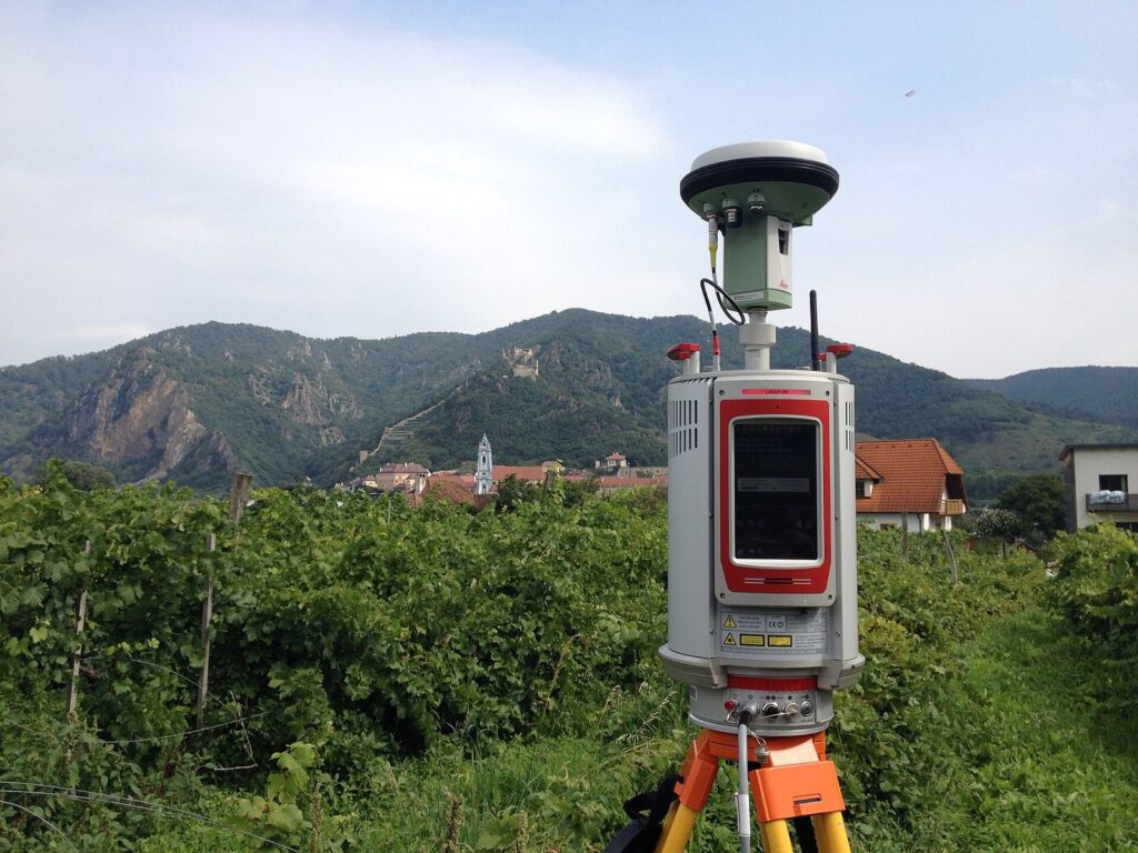
A terrestrial laser scanner sits on a tripod and spins, sending out laser pulses in every direction. Each pulse measures the distance to whatever it hits. In a few minutes the scanner records millions of points, each with X, Y and Z coordinates, often coloured using photos taken by the scanner. Together these points form a point cloud: a 3D copy of the space that you can measure on a computer.
How a scanning survey is carried out
Planning the set-ups
One scan cannot see around corners, so we plan a series of scanner positions that together cover every surface that matters. A simple room may need a few set-ups. A congested plant room or a bridge may need dozens.
Scanning and control
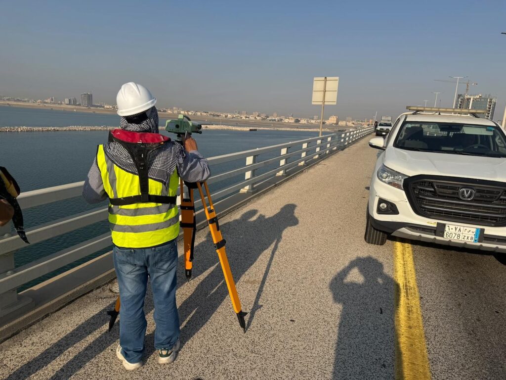
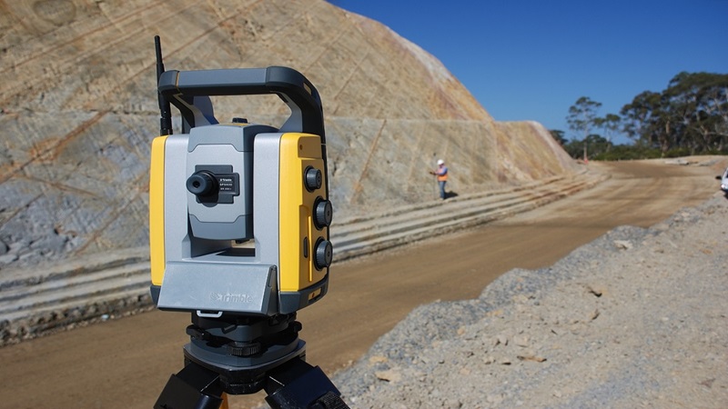
At each position the scanner captures a full 360-degree view. Where the client needs the data in project coordinates, we survey targets or control points with a total station or GNSS so the point cloud sits exactly on the site grid.
Registration
Back in the office, the individual scans are joined together into one point cloud, a step called registration. The software reports how well the scans fit, which gives a clear measure of quality.
Modelling and drawings
The point cloud is then turned into what the client actually needs: 2D CAD plans and sections, a 3D model, or a BIM model in Revit.
What laser scanning is used for
- As-built documentation: accurate drawings of existing buildings, plants and structures where records are missing or out of date
- Scan-to-BIM: building a Revit model from the point cloud for renovation or facility management, which ties in with our CAD drafting and BIM services
- Clash detection: checking new steelwork, ducts or pipes against what is really there before fabrication
- Deformation and monitoring: comparing scans over time to spot movement or settlement
- Volumes: stockpiles, excavations and tanks
- Heritage: recording historic buildings and sites in full detail before restoration
How accurate is laser scanning?
Modern terrestrial scanners measure individual points to within a few millimetres at typical working ranges. The overall accuracy of the final model depends on the registration, the control network and the modelling. We state the achieved accuracy in the survey report, so designers know how far they can rely on it.
Laser scanning vs other methods
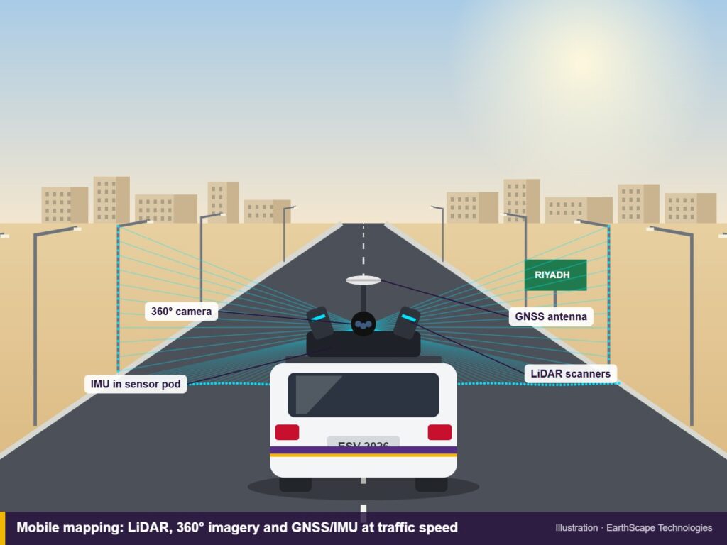
A conventional topographic survey measures selected points and is quicker for open plots. Laser scanning captures everything, which makes it ideal for complex structures where you do not know in advance which dimensions will matter. For long roads, mobile mapping mounts similar scanners on a vehicle to cover distance faster. For large open areas, drone surveys are often the most efficient choice.
Tips for planning a scan in Saudi Arabia
- Agree what you need at the end (point cloud only, CAD, or BIM and at what level of detail). This has a bigger effect on cost than the scanning itself.
- In operating plants, allow time for permits, inductions and escorts.
- Outdoors, strong sunlight and heat shimmer can reduce range at midday, so we often scan early in the morning.
- Moving people and vehicles leave “ghost” points. Scanning at quieter times gives cleaner data.
Frequently asked questions
What file formats will I receive?
Point clouds are usually delivered as E57, RCP/RCS for Autodesk software, or LAS. Drawings and models are delivered as DWG or Revit (RVT), depending on the brief.
Can laser scanning see inside walls?
No. It only measures visible surfaces. To find rebar, conduits or voids inside concrete you need GPR concrete scanning.
How long does a scanning job take?
Field time ranges from a few hours for a single floor to several days for a large plant. Modelling usually takes longer than the scanning, especially for detailed BIM.
Plan your laser scanning survey
EarthScape provides 3D laser scanning across Saudi Arabia for buildings, plants, bridges and heritage sites. Tell us about the structure and what you need from the data through our Get a Quote page.