Imagine you need a survey of 40 kilometres of urban road: every kerb, lamp post, sign, manhole and road marking, plus levels for a resurfacing design. With a GNSS rover and a total station, that is weeks of work with crews standing in traffic. With a mobile mapping system, most of the data can be collected in a day or two while driving with the traffic. That is the main reason mobile mapping has become popular for road and infrastructure projects in Saudi Arabia.
What is mobile mapping?
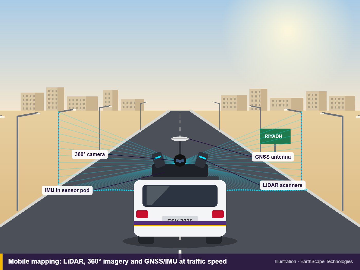
Mobile mapping is surveying from a moving platform, usually a vehicle. The system on the roof combines several sensors:
- Laser scanners (LiDAR) that fire hundreds of thousands of pulses per second and record a 3D point cloud of everything around the vehicle
- Cameras that capture 360-degree imagery, so you can “walk” the street later from your desk
- GNSS receivers that track the vehicle’s position from satellites
- An inertial measurement unit (IMU) that tracks every tilt and turn, and keeps the position accurate when satellites are blocked under bridges or between buildings
Software combines all of this into one georeferenced point cloud with matching photos.
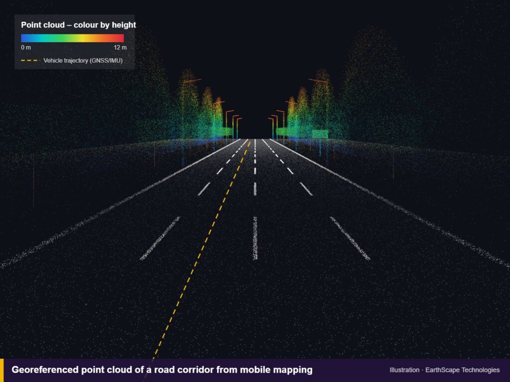
What can you get from mobile mapping data?
- Topographic drawings of road corridors: kerbs, edges, lanes, islands, levels
- Asset inventories: signs, street lights, poles, barriers, manholes, trees
- Road surface models for resurfacing, rutting and drainage checks
- Bridge clearances and overhead line heights
- Building facades along a street for urban design and planning
- 360-degree imagery that the whole project team can browse
One big advantage is that the data is captured once and can be used many times. If the designer later needs an extra cross-section or a feature that was not in the original brief, it can usually be extracted from the existing point cloud without going back to site.
How accurate is mobile mapping?
Raw mobile mapping data is relative: points are very consistent with each other, but the absolute position depends on satellite coverage. To get survey-grade results we measure ground control points along the route with GNSS or a total station and use them to adjust the data. With good control, accuracy of a few centimetres is achievable, which is suitable for most road design and asset work. For millimetre-level detail on a structure, a static terrestrial laser scanner is still the better tool.
Mobile mapping vs other survey methods
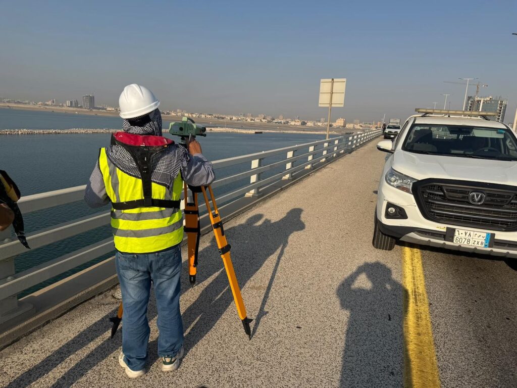
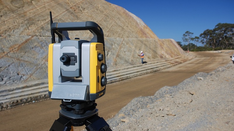
Traditional total station and GNSS
Very accurate and best for small sites, but slow on long corridors and puts crews in live traffic. Still essential for control points and for checking the mobile data.
Drone surveys
Drones are excellent for open areas and earthworks, seen from above. They struggle with vertical detail such as signs, facades and anything under trees or bridges, and flight permissions near airports and sensitive sites can take time.
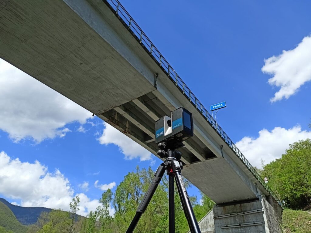
Static laser scanning
Higher detail and accuracy, but each scan covers a limited radius, so long roads need hundreds of set-ups. Best for interchanges, bridges and buildings.
On many projects the answer is a mix: mobile mapping for the corridor, static scanning for complex structures, and a conventional topographic survey for control and for areas the vehicle cannot reach.
Things to plan for in Saudi Arabia
- Traffic: survey runs are often planned early in the morning or on quieter days so the vehicle can drive at a steady speed and parked cars hide less of the kerb line.
- Heat and dust: sensors and cameras need regular cleaning and checks during long summer days.
- Coordinate system: agree the national reference frame or project grid before the survey, exactly as for any topographic job.
- Underground services: mobile mapping shows manhole covers but not the pipes and cables below. Pair it with a GPR utility survey at junctions and crossings.
Frequently asked questions
How fast does a mobile mapping vehicle drive?
Typically at normal urban traffic speeds. Slower driving gives a denser point cloud, so speed is chosen to match the detail required.
Can mobile mapping replace a topographic survey?
For long road corridors it can replace most of the field work, but ground control points and spot checks are still surveyed conventionally to guarantee accuracy.
What file formats are delivered?
Usually point clouds (LAS/LAZ or E57), CAD drawings (DWG), and panoramic imagery with a viewer, depending on the client’s needs.
Discuss your corridor project
EarthScape offers mobile mapping surveys in Saudi Arabia as part of our topographic survey services. If you have a road, utility corridor or urban area to map, send us the route and what you need from the data through our Get a Quote page. We will recommend the right mix of mobile mapping, laser scanning and conventional surveying for the job.