Ground penetrating radar (GPR) is one of the most useful tools for finding what is buried, but it is often misunderstood. Some people expect it to see everything to any depth; others dismiss it after one poor result. The truth sits in between. This article sets out the facts about how deep GPR can see, how accurate it is, what it detects well and where it struggles, with notes on how EarthScape manages each limit on real projects in Saudi Arabia.
Fact 1: GPR depth depends on the ground, not just the equipment
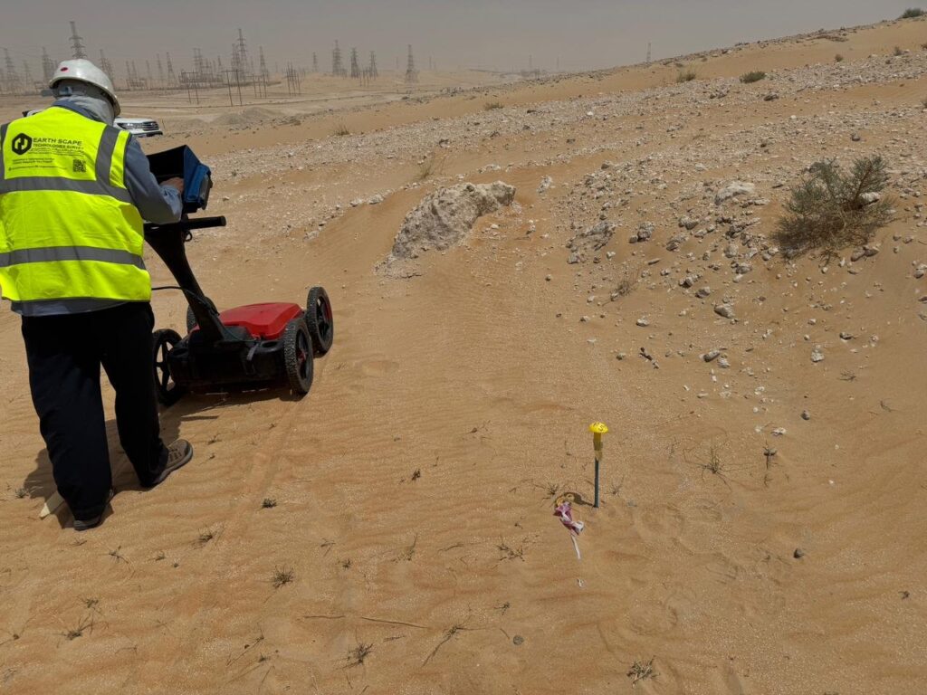
Radar energy is absorbed by conductive ground. In dry sand, gravel and limestone, a 350–400 MHz antenna typically reaches 2–4 metres and sometimes more. In wet clay or soil with salty groundwater, depth can drop to a metre or less. No antenna can overcome very conductive ground, which is why a good provider tests performance on site and reports the depth achieved.
Fact 2: Lower frequency sees deeper, higher frequency sees finer detail
Every GPR antenna trades depth for resolution. Low-frequency antennas (around 100–270 MHz) reach deeper but show less detail. Mid-range antennas (around 350–500 MHz) are the usual choice for utilities. High-frequency antennas (900 MHz to 2.6 GHz) give fine detail in the top few tens of centimetres and are used for concrete scanning. Choosing the right antenna is the first technical decision of any survey.
Fact 3: Depths are only accurate when radar speed is calibrated
GPR measures the time an echo takes to return. Converting time to depth needs the speed of radar in that soil, which changes with moisture and material. When speed is calibrated on site, depths are typically within about 10–15%. EarthScape calibrates every survey using the shape of reflections from known pipes or targets of known depth.
Fact 4: GPR finds both metallic and non-metallic services
This is GPR’s biggest advantage over cable locators. Plastic water pipes, concrete drains, fibre ducts and clay pipes all reflect radar when there is a contrast with the surrounding soil. Metal pipes give especially strong reflections.
Fact 5: Size and depth together decide what can be seen
A widely used rule of thumb is that GPR can detect a target roughly 2.5 cm across for every 30 cm of depth. A 10 cm pipe may be visible at 1.2 metres, while a thin cable at the same depth may not. Pipes also need to be crossed at a reasonable angle, which is why surveys use a grid of parallel lines and cross lines.
Fact 6: Some things hide other things
Services stacked closely above each other, dense rebar, metal plates and buried rubble can mask targets below. A service directly beneath another may not show at all. Good reports mark areas of reduced confidence rather than leaving them blank.
Fact 7: GPR shows a reflector, not a label
The radar image shows hyperbolas and layers, not pipe names. The type of service is inferred from alignment, depth, connections to manholes and chambers, and results from electromagnetic cable locating. Where certainty is critical, trial pits confirm the service.
Fact 8: GPR is excellent for voids
An air-filled void gives a very strong radar reflection because of the large contrast with soil or concrete. This makes GPR a first choice for checking voids under slabs, roads and pavements, often combined with ERT or microgravity for deeper cavities.
Fact 9: The operator matters as much as the radar
The same equipment can produce a reliable utility map or a misleading one, depending on survey design, calibration, interpretation and honesty about limits. Standards such as PAS 128 exist to make this quality clear.
How EarthScape applies these facts
EarthScape Technologies builds every GPR survey in Saudi Arabia around these facts rather than around marketing claims:
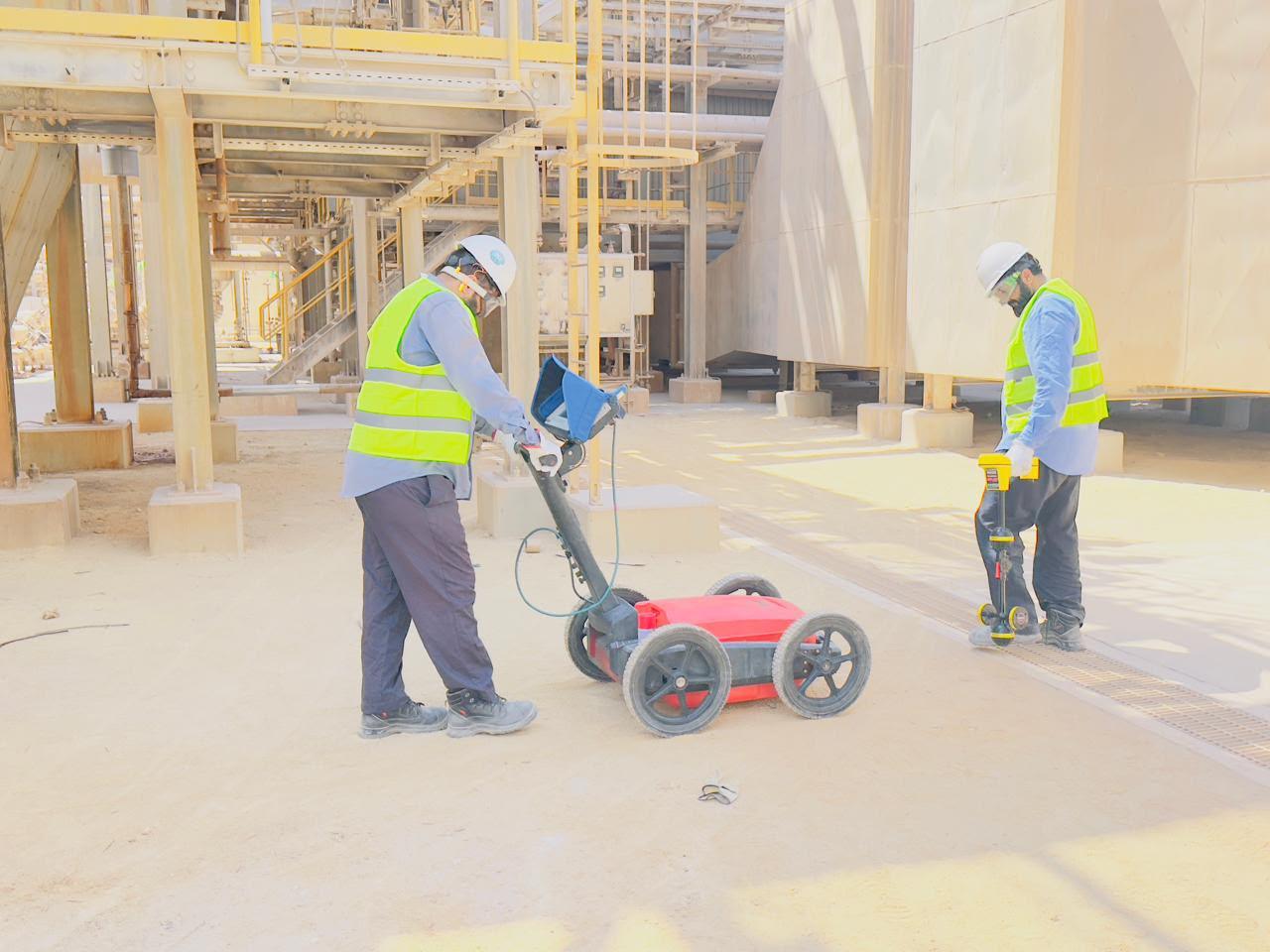
- Right antenna for the job: a GSSI 350 MHz HyperStacking GPR for utilities and higher-frequency antennas for concrete.
- Calibrated depths: radar speed is measured on every site, and achieved depth is stated in every report.
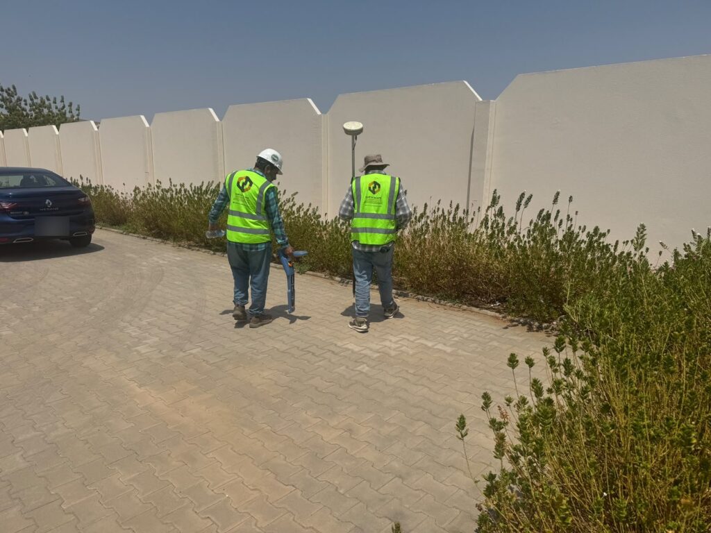
- Two methods, not one: GPR is combined with Radiodetection cable locating on every utility survey.
- Accurate positions: every service is fixed with Trimble RTK-GNSS or a total station in project coordinates.
- Verification: trial pits are recommended and carried out where the risk calls for it.
- Clear limits: reports show areas of lower confidence and the quality level of each service.
We are ISO 9001, ISO 14001 and ISO 45001 certified and a registered Saudi Aramco supplier (Vendor Code 10118447). For an introduction to the method, read What Is a GPR Survey?
Frequently asked questions
How accurate are GPR depths?
When radar speed is calibrated on site, depths are typically within about 10–15% of the true depth. Without calibration, errors can be much larger. EarthScape calibrates every survey and states depths as approximate, with trial pits used where exact depth matters.
What is the smallest pipe GPR can find?
A common rule of thumb is that GPR can detect a target roughly 2.5 cm in diameter for every 30 cm of depth, so small services become harder to see as they get deeper. Ground conditions, pipe material and contents also matter.
Can GPR tell what a pipe is made of or carries?
Not directly. GPR shows a reflector and its depth. Type is inferred from the signal, the alignment, connections to visible features and cable locator results, and confirmed by trial pits where needed.
Does GPR work through concrete and asphalt?
Yes. GPR works through asphalt and concrete. Dense reinforcement can mask what lies beneath, so we adjust line spacing and antenna frequency to the slab.
Want a realistic GPR survey plan?
Tell us your site and what you need to find through our Get a Quote page, and we will explain what GPR can achieve on your ground before you commit.