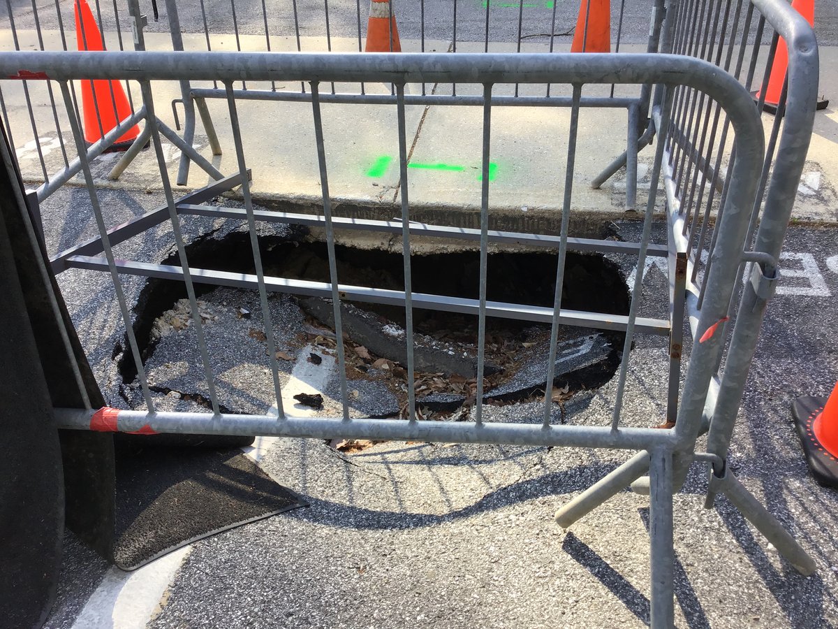
A hidden void under a road, a warehouse slab or a building foundation can stay invisible until the surface cracks or collapses. In Saudi Arabia, voids form for several reasons: leaking water and sewer pipes washing out fine soil, poor compaction of trench backfill, dissolution of limestone, and settlement of old fill. Ground penetrating radar (GPR) is one of the fastest ways to find them before they cause damage. This article explains how GPR detects voids, what it can and cannot do, and how EarthScape carries out void surveys.
Why voids show up so clearly on GPR
Radar reflects wherever the electrical properties of the ground change. Air has very different properties from soil or concrete, so an air-filled void produces a strong, bright reflection, often with reversed polarity compared with the material around it. Areas of loosened or washed-out soil also show as changes in the radar pattern, sometimes before an open void has formed.
Common causes of voids in the Kingdom
- Leaking pipes. Water or sewer leaks carry sand away, leaving cavities under roads and slabs.
- Poor trench reinstatement. Backfill that was not compacted settles over time.
- Karst. Limestone in parts of the Eastern Province, Riyadh and other areas can dissolve, forming cavities and sinkholes.
- Old fill and buried structures. Decaying fill, old tanks or collapsed chambers leave gaps.
Where void surveys are used
- Roads, junctions and pavements after surface settlement or near leaking utilities.
- Warehouse and factory slabs before installing heavy racking or machinery.
- Building foundations and basements showing cracks.
- Tank bases, pipe racks and plant areas in industrial facilities.
- Airport aprons, ports and car parks.
How a GPR void survey is carried out
- Review. We look at the reported problem, drawings, utility records and any previous investigations.
- Grid design. A tight grid of lines in two directions is laid out so voids are crossed several times and their outline can be mapped.
- Antenna choice. A mid-frequency antenna covers the first few metres of soil; higher frequencies are used to check the slab itself.
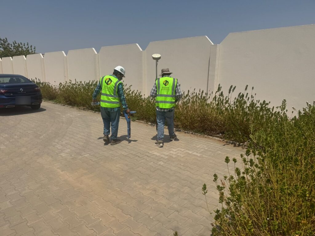
- Scanning and positioning. Data is collected and tied to site coordinates with RTK-GNSS or a total station.
- Processing. Data is processed into profiles and depth slices, which show anomalies in plan at different depths.
- Verification. Suspected voids are confirmed by coring or probing before repairs are designed.
When to add other methods
GPR is best for shallow voids, generally in the top few metres. For deeper cavities in limestone, or where wet or clay-rich ground limits radar, EarthScape adds electrical resistivity tomography (ERT) or microgravity surveys. Our cavity and sinkhole detection service combines these methods for larger sites.
What you receive
- A plan drawing showing each anomaly, its approximate depth and size, and a confidence rating.
- Selected radar profiles and depth slices showing the evidence.
- Recommendations for coring, drilling or excavation to confirm and repair.
EarthScape’s contribution
EarthScape Technologies carries out void and cavity surveys for contractors, consultants, facility owners and industrial clients across Saudi Arabia. Our contribution includes:
- Survey design focused on the problem, not a standard grid for every site.
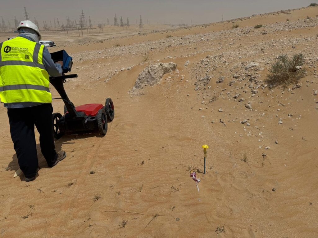
- A GSSI 350 MHz HyperStacking GPR for soil and higher-frequency antennas for slabs.
- Experienced geophysicists who interpret voids alongside utilities and other features, so a pipe is not mistaken for a cavity.
- ERT and microgravity in-house for deeper or difficult ground.
- Safe work on live roads and plants, ISO 9001, ISO 14001 and ISO 45001 certification, and registration as a Saudi Aramco supplier (Vendor Code 10118447).
Learn more about our GPR survey in Saudi Arabia service.
Frequently asked questions
How deep can GPR find voids?
It depends on the ground and void size. Under slabs and pavements, voids in the top 1–3 metres are usually well detected. Deeper cavities, such as karst in limestone, are better investigated with ERT or microgravity alongside GPR.
Can GPR tell if a void is filled with water or air?
Often, yes. Air-filled voids give a strong reflection with a characteristic polarity, while water-filled voids look different and can absorb signal below them. Interpretation is confirmed by coring or drilling where needed.
What happens after a void is found?
EarthScape marks the void outline and depth on a drawing and recommends verification, usually a core or probe hole. The engineer then decides on repair, such as grouting or excavation and backfill.
Worried about a void or settlement?
Send us photos, the location and a short description through our Get a Quote page, and we will advise on the right survey.