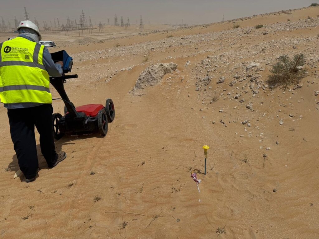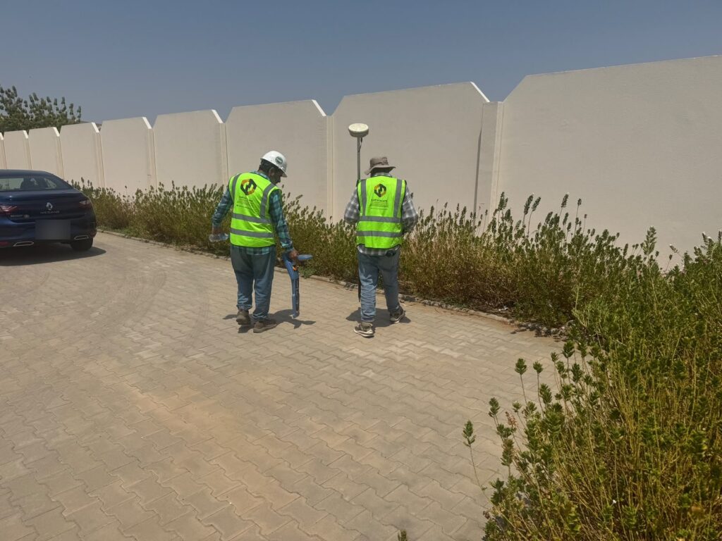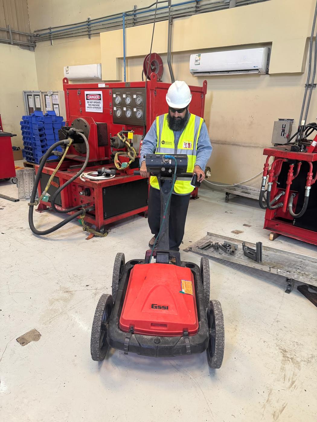
Most people know ground penetrating radar (GPR) as the tool used to find buried pipes and cables. That is its most common job in Saudi Arabia, but it is far from the only one. Because GPR images changes in the ground and in structures without digging or drilling, it answers many different questions on construction, infrastructure and industrial projects. Here are ten practical applications of GPR, with the role EarthScape plays in each.
1. Underground utility mapping
GPR detects metallic and non-metallic pipes, cables and ducts before excavation and during design. Combined with electromagnetic cable locating, it is the core of a PAS 128 utility survey. EarthScape delivers utility drawings in CAD and GIS with type, approximate depth and quality level for each service.
2. Concrete scanning
High-frequency GPR locates rebar, conduits and post-tension tendons inside slabs, walls and columns before coring, drilling or cutting. It also measures slab thickness and cover. See our rebar and concrete scanning service.
3. Void and cavity detection
Air-filled voids give strong radar reflections, so GPR is ideal for checking under roads, slabs and foundations where settlement or leaks are suspected. EarthScape adds ERT or microgravity for deeper cavities.
4. Road and pavement assessment
GPR measures the thickness of asphalt and base layers along roads, helps find areas of moisture or weakness and supports maintenance planning without coring every few metres.
5. Underground storage tanks and buried objects
Old fuel tanks, buried drums, foundations of demolished buildings and other obstructions can be located before construction, avoiding surprises during piling or excavation.
6. Shallow geology and top of rock
In dry ground, GPR maps soil layers, the depth to rock and buried channels, giving designers continuous information between boreholes. EarthScape often combines this with geotechnical investigation.
7. Trial pit and excavation planning
GPR shows where to dig trial pits so they expose the services that matter, and where excavation is clear. This makes trial pitting faster and safer.
8. Industrial plant surveys
In oil, gas and petrochemical facilities, GPR helps map congested pipe corridors, check foundations and plan tie-ins and new installations, working under strict permit systems.
9. Archaeology and heritage sites
GPR is widely used worldwide to map buried walls, rooms and features without excavation. With heritage and tourism projects growing in the Kingdom, it offers a non-destructive first look before digging.
10. Environmental and landfill investigations
GPR can outline buried waste, old pits and disturbed ground, helping plan environmental studies and remediation.
Choosing the right approach
Each application needs a different antenna, line spacing and processing approach. A utility survey uses mid-frequency antennas on a grid across the site; concrete scanning uses high frequencies on a fine grid; geology and tank searches may use lower frequencies for depth. Matching the method to the question is what turns GPR data into useful answers.
EarthScape’s contribution
EarthScape Technologies provides GPR survey in Saudi Arabia for all of these applications, from our offices in Riyadh and Al Khobar. We contribute:
- A GSSI 350 MHz HyperStacking GPR for ground surveys and higher-frequency antennas for concrete.
- Radiodetection cable locators and Trimble RTK-GNSS positioning for accurate, coordinated results.
- Geophysicists who choose the right method, and add ERT, magnetic or seismic surveys when GPR alone is not enough.
- Clear CAD, GIS and report deliverables that engineers can use directly.
- ISO 9001, ISO 14001 and ISO 45001 certified management systems and Saudi Aramco supplier registration (Vendor Code 10118447).
New to GPR? Start with What Is a GPR Survey?
Frequently asked questions
Is GPR only for finding utilities?
No. Utility mapping is the most common use, but GPR is also used for concrete scanning, void detection, pavement thickness, underground tanks, shallow geology, archaeology and more.
Which GPR application is most common in Saudi Arabia?
Utility detection before excavation is the most common, followed by concrete scanning before coring and drilling, and void checks under roads and slabs.
Can one survey cover several applications?
Often, yes. For example, a single site visit can map utilities, check for voids and scan the slab, using the right antenna for each task.
Have a GPR question for your project?
Tell us what you need to find through our Get a Quote page, and we will recommend the right GPR approach.