“How much does a GPR survey cost?” is usually the first question we hear from contractors and consultants in Saudi Arabia. The honest answer is that it depends on the site. Two surveys of the same length can be priced very differently because of traffic, ground conditions or the level of detail the client needs. This guide explains what actually drives the price of a ground penetrating radar (GPR) survey, so you can compare quotations fairly and avoid paying for the wrong scope.
What you are paying for in a GPR survey
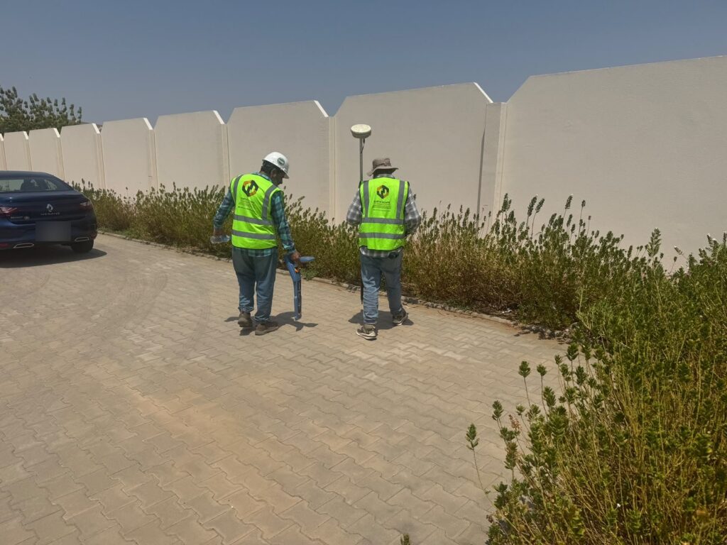
A GPR utility survey is more than pushing a radar cart across the ground. A typical job includes planning and desktop records review, mobilising a crew and equipment, scanning the site in a grid, tracing cables and pipes with an electromagnetic locator, marking results on the ground, processing the data and producing CAD drawings and a report. Each of these steps takes time, and the time is what most of the price reflects. If you are new to the method, our guide What Is a GPR Survey? explains how it works.
The main factors that affect GPR survey cost
1. Size and shape of the survey area
Area (square metres) or length (linear metres for road and pipeline corridors) is the starting point. Open plots are faster to scan than narrow, cluttered areas with parked cars, kerbs and street furniture, where the crew has to work around obstacles.
2. Site access and traffic management
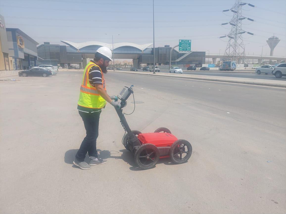
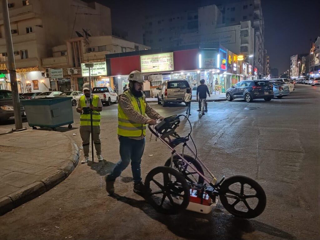
Live roads in Riyadh, Jeddah or Dammam often need traffic management, permits or night shifts. Night GPR work keeps traffic moving but adds cost for lighting, supervision and crew hours. Industrial plants and oil and gas facilities may need inductions, permits to work and escorts, which add time before scanning even starts.
3. Ground conditions
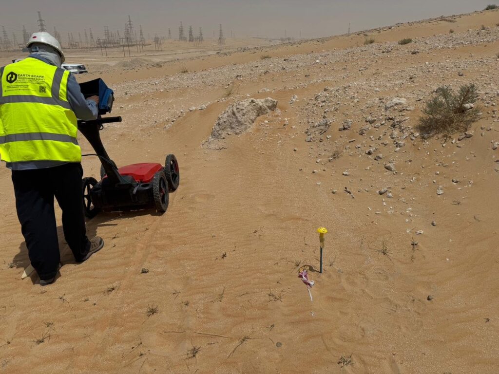
GPR performs best in dry sand. Clay, saline ground (sabkha) and wet soils absorb the radar signal and reduce depth. On difficult ground we may need different antennas, tighter grid spacing or extra electromagnetic locating, and we may recommend trial pits to confirm key services. All of this affects the time on site.
4. Required quality level and accuracy
A quick “mark-out before digging” is a different job from a full utility survey to PAS 128 quality levels with drawings that designers can rely on. Higher quality levels need more detection techniques, more passes and more processing, so they cost more but carry far less risk.
5. Deliverables
Ground marking only is the simplest output. CAD drawings in local coordinates, 3D models, depth tables, GIS layers and a formal report all take office time. Agree the deliverables at the start so every quote is priced on the same basis.
6. Verification by trial pits
GPR shows where something is likely to be, and trial pits confirm exactly what it is and how deep it lies. Many projects add a few trial pits at critical crossings. They add cost, but they are far cheaper than a damaged high-voltage cable or water main.
7. Location and mobilisation
Remote desert sites, multi-day projects and work in several cities add travel, accommodation and survey control set-up. Grouping work into one mobilisation usually lowers the cost per square metre.
Why the cheapest quote can cost more
A low price often means fewer scan lines, no electromagnetic locating, no processing or a sketch instead of a drawing. Missed utilities can lead to service strikes, injuries, fines and weeks of delay. When comparing quotations, check:
- Which detection methods are included (GPR only, or GPR plus cable and pipe locating)
- Grid spacing and survey coverage
- The quality level and positional accuracy promised
- What drawings and reports you will receive, and in what format
- Whether trial pit verification is included or priced separately
- HSE arrangements, permits and traffic management
How to get an accurate GPR survey quote
You will get a faster and more accurate price if you send:
- A site location pin or KML file and the survey boundary
- The purpose of the survey (excavation, piling, design, road widening)
- Any existing utility records or drawings
- Required deliverables and coordinate system
- Access restrictions, working hours and permit requirements
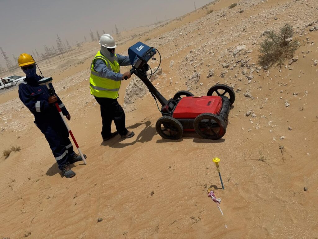
GPR surveys across Saudi Arabia with EarthScape
EarthScape runs GPR surveys in Saudi Arabia on city roads, industrial plants and open desert sites, combined with cable and pipe locating and trial pit verification where needed. You can see examples in our project portfolio.
Frequently asked questions
Is GPR survey priced per square metre or per day?
Both are common. Large open areas are often priced per square metre or per linear metre, while small or complex sites are usually priced per day or as a lump sum.
How long does a GPR survey take?
A small building plot can often be scanned in a day. Long road corridors and large plants take longer. Processing and reporting follow the fieldwork.
Can GPR detect plastic pipes?
Often yes, because GPR detects changes in material, not just metal. Results depend on pipe size, depth and soil, which is why we combine GPR with other methods and trial pits for critical services.
Request a GPR survey quote
Send your site details through our Get a Quote page or email info@earthscapesurvey.com, and we will reply with a clear scope and price.