A magnetic survey is one of the quickest ways to check large areas for buried metal. Walk a site with a magnetometer and, within hours, you can have a map showing buried steel pipes, tanks, drums, old foundations and other objects that nobody knew were there. It is also used at a much larger scale to map rock types for mineral exploration. This article explains how it works and when it is worth using.
How a magnetic survey works
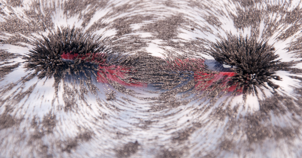
The Earth has its own magnetic field. Objects made of iron and steel, and some rock types, distort that field slightly around them. A magnetometer measures the strength of the field very precisely, in units called nanotesla. When we map the readings over a site, buried ferrous objects appear as clear “anomalies”: a pattern of high and low values that stands out from the background.
Many surveys use a gradiometer, which has two sensors one above the other. Because it measures the difference between the two, it removes most of the natural day-to-day changes in the Earth’s field and highlights shallow targets.
What a magnetic survey can find
- Buried steel pipes and cast iron mains
- Underground storage tanks and buried drums on industrial or redevelopment sites
- Old foundations, buried slabs and demolished structures
- Abandoned well casings
- Archaeological features such as kilns and hearths
- Geological structures, such as dykes, faults and changes in rock type, for mineral exploration and regional studies
It will not find plastic pipes, concrete without steel, or most cavities. For those we use other methods such as GPR, Electrical Resistivity Tomography (ERT) or microgravity.
How we carry out the survey
Clearing the operator
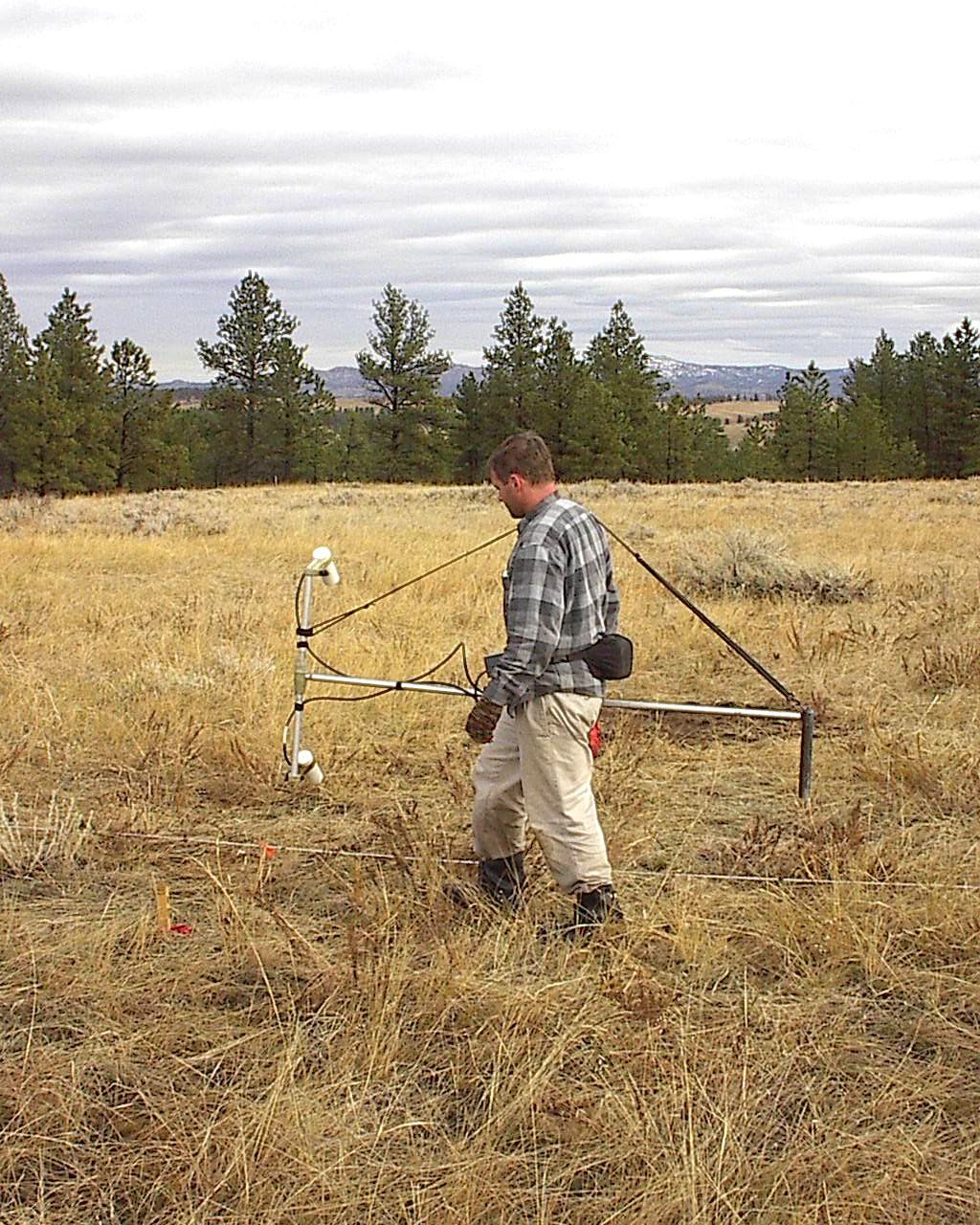
Magnetometers are sensitive enough to pick up a phone, keys or steel toe caps. Before starting, the operator removes or swaps any metal items, and we check the instrument for heading errors.
Survey lines
We walk or drive parallel lines across the site at a set spacing, recording readings continuously with GNSS positions. Closer line spacing finds smaller objects.
Base station
For total field surveys, a second magnetometer stays at a fixed point to record natural changes in the Earth’s field during the day, so they can be removed from the data.
Processing and interpretation
The readings are gridded into colour maps. We pick out anomalies, estimate their position and approximate depth, and separate likely buried objects from surface clutter.
Things that affect results
Anything made of steel near the survey line creates noise: fences, parked cars, reinforced concrete, power lines and steel buildings. On busy urban sites the data can be cluttered, which is why magnetics works best on open ground, desert plots and brownfield sites before construction. Volcanic rocks, found in parts of western Saudi Arabia, can also produce strong natural anomalies that we need to separate from man-made targets.
Magnetic survey or electromagnetic survey?
The names sound similar but they work differently. A magnetometer is passive and only detects ferrous (iron-bearing) material. Electromagnetic (EM) instruments, including the cable and pipe locators we use, send out a signal and can detect any conductive metal, including copper and aluminium. On many sites we use both.
Frequently asked questions
How deep can a magnetometer detect buried metal?
It depends on the size of the object. Small items are only detected near the surface, while large objects such as tanks or long steel pipes can be detected several metres down.
How quickly can a site be surveyed?
Magnetic surveys are fast. A walking survey can cover several hectares in a day on open ground, and vehicle-towed systems cover more.
Can a magnetic survey tell exactly what an object is?
Not on its own. It shows the location, size and approximate depth of magnetic anomalies. Excavation or other methods confirm what each one is.
Request a magnetic survey
EarthScape carries out magnetic surveys across Saudi Arabia for site clearance, environmental investigations and exploration. Send us the site boundary and what you are looking for through our Get a Quote page.