Electrical resistivity tomography, usually shortened to ERT, is one of the methods we use most often on site investigation projects in Saudi Arabia. It is not as well known as GPR, and clients sometimes aren’t sure what they will get from it. So here is a plain explanation: how ERT works, what the results look like, where it works well, and where another method would be a better choice.
The basic idea
Different materials in the ground let electricity pass through them more or less easily. Clay and salty water conduct well, so they have low resistivity. Dry sand, gravel, solid limestone and air-filled voids resist the current, so they have high resistivity.
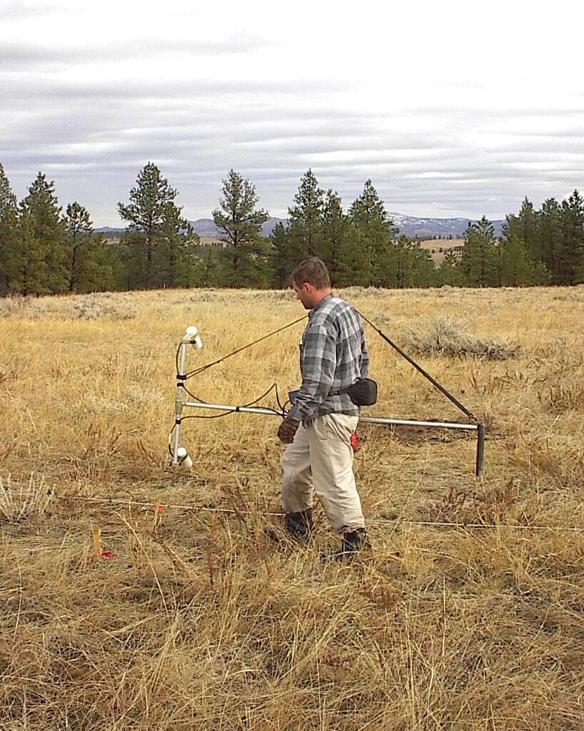
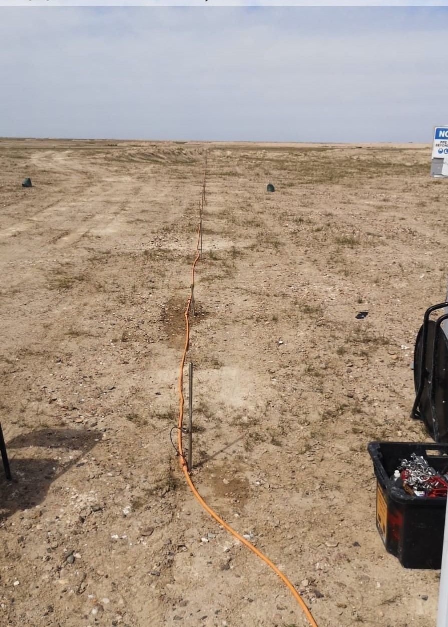
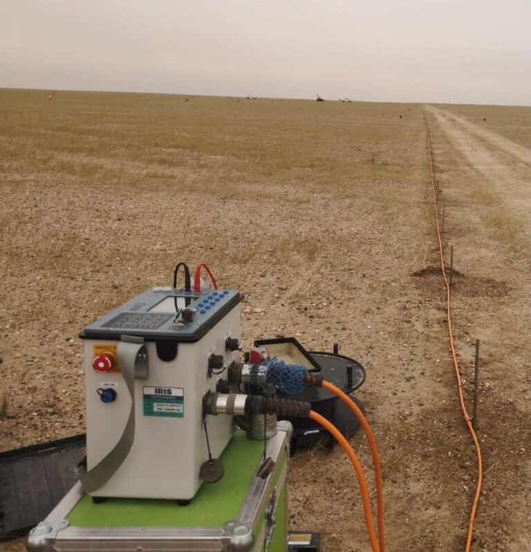
In an ERT survey we push a line of steel electrodes into the ground, usually 24 to 96 of them, connected by a multi-core cable to a resistivity meter. The instrument injects a small current through two electrodes and measures the voltage between two others, then repeats this for hundreds or thousands of combinations along the line. Close electrode pairs see the shallow ground and widely spaced pairs see deeper.
The raw readings are then processed with inversion software, which works out the most likely resistivity distribution below the line. The result is a coloured cross-section showing resistivity against distance and depth. That image is what most people mean when they say “ERT”.
How deep can ERT see?
The depth depends mainly on the length of the line. As a rough guide, you can expect useful information down to about one fifth or one sixth of the total spread length. A line of 48 electrodes at 5 m spacing is 235 m long and will usually image the ground down to about 40 m. Closer spacing gives finer detail near the surface but less depth.
So before we go to site we ask what the client actually needs to find, and at what depth. A shallow cavity check below a building slab needs a very different setup from a groundwater study looking 80 m down.
Where ERT is most useful
- Cavity and sinkhole detection. In the karst limestone areas around Riyadh and in parts of the Eastern Province, ERT is one of the main tools for finding cavities before foundations are designed. Air-filled voids show up as high-resistivity zones, while clay- or water-filled ones show up as low-resistivity pockets.
- Depth to bedrock and soil layering. The contrast between loose sand and the rock below is usually clear, which helps the geotechnical team plan borehole depths.
- Groundwater studies. ERT helps find water-bearing layers and, in coastal areas, the boundary between fresh and saline water.
- Contamination and environmental work. Leachate from landfills and some fuel or brine spills change the ground’s resistivity, so their spread can be mapped.
- Dams, embankments and slopes. Wet zones and possible seepage paths often show up clearly.
- Filling gaps between boreholes. A borehole tells you about one point. ERT shows what happens between them.
What ERT can’t do
It is better to be honest about the limits at the start than to disappoint a client later:
- ERT measures resistivity, not soil type. A low-resistivity zone could be clay, wet sand or saline water. It needs to be read together with borehole logs or local geology.
- Small targets at depth are hard to see. As a rule of thumb, a feature needs to be reasonably large compared with its depth to show clearly.
- Buried metal pipes, fences and live cables near the line can distort the data, so the line position has to be planned around them.
- It gives a 2D slice under each line. For a 3D picture you need several parallel lines or a 3D grid.
Working in desert conditions
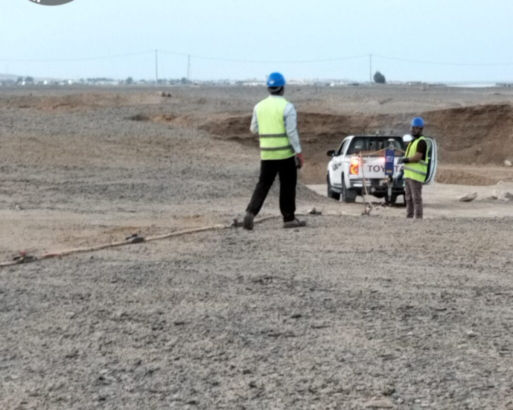
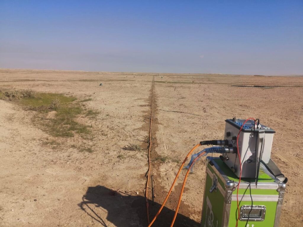
Saudi sites come with their own challenges. Dry surface sand gives very poor electrical contact, so readings can be noisy. On most desert jobs we water the electrodes, sometimes with a little salt or bentonite, to improve contact. Hard calcrete or rock at the surface means drilling small holes for the electrodes. And in summer the crew starts early, because laying out a 300 m cable at midday in July is no joke.
We also check the data quality on site before packing up. If a section of the line has bad contact readings, it is much cheaper to fix it the same day than to come back.
ERT alongside other methods
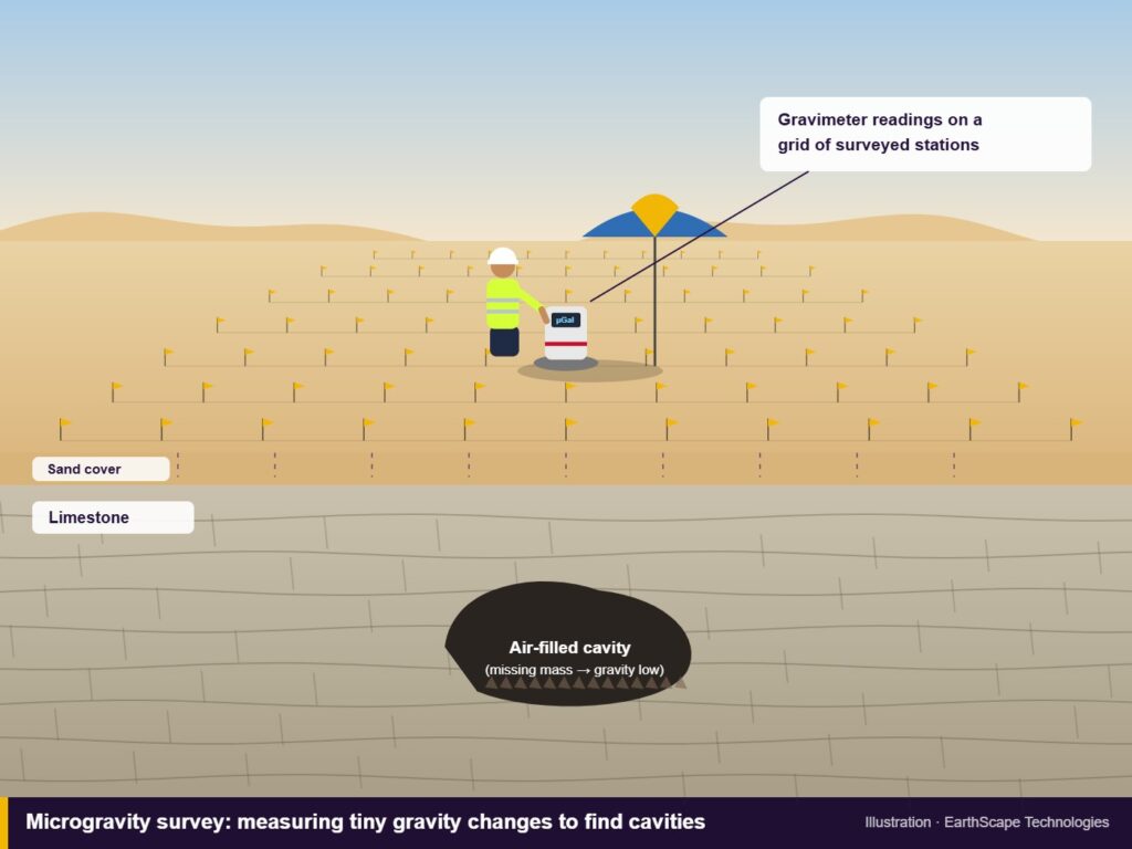
ERT works best as part of a package. For cavity studies we often combine it with microgravity, since the two methods respond to different properties and together reduce the uncertainty. For ground stiffness and seismic design, MASW and seismic refraction give information that resistivity cannot. All of these should feed into the geotechnical investigation, and boreholes should be placed on the anomalies the geophysics finds.
ERT is also different from a soil resistivity test for earthing design, although both use electrodes. The earthing test gives apparent resistivity values for electrical engineers designing grounding systems, while ERT produces an image of the subsurface.
What you receive
A typical ERT report from us includes the line layout on a site plan with coordinates, the inverted resistivity sections with a clear colour scale, an interpretation marking possible cavities, layers or anomalies, and recommendations, usually suggested borehole locations to confirm the key features. Raw data can be provided too if your consultant wants to review it.
Frequently asked questions
How long does an ERT survey take?
A crew can usually complete several lines a day, depending on line length, ground conditions and access. A small site investigation is often finished in one or two days of fieldwork.
Is ERT safe near buildings and people?
Yes. The current is small and the area around the electrodes is controlled while measurements are running. The method does not damage the ground or nearby structures.
Can ERT replace boreholes?
No. ERT reduces the number of boreholes needed and shows where to put them, but boreholes are still needed to confirm what the resistivity changes actually are.
Need an ERT survey?
EarthScape runs ERT surveys across the Kingdom for cavity studies, groundwater, environmental and geotechnical projects. Tell us what you are looking for and how deep, and we’ll suggest a line layout. Start on our Get a Quote page.