Ground penetrating radar (GPR) is used across Saudi Arabia, but it does not behave the same everywhere. The same radar that sees 4 metres down in dry Riyadh sand may only see 1 metre in wet, salty ground near the Gulf coast. Knowing how local ground conditions affect GPR helps you plan a realistic survey, set the right expectations and choose extra methods where they are needed. This article explains the differences between the main regions, based on the work EarthScape carries out from our offices in Riyadh and Al Khobar.
Why ground conditions control GPR
GPR sends short radar pulses into the ground and records the echoes. Two properties of the soil decide how far the pulses travel:
- Electrical conductivity. Conductive ground, such as wet clay or soil holding salty water, turns radar energy into heat. The higher the conductivity, the shallower the radar can see.
- Dielectric permittivity. This controls how fast the pulse travels and how strongly targets reflect. Dry sand has low permittivity and fast radar speed; wet soil has high permittivity and slower speed. Changes in permittivity, for example between soil and a plastic pipe or an air-filled void, are what create reflections.
Because radar speed depends on the soil, depths shown on the screen are only accurate when the speed is calibrated on site. EarthScape calibrates every survey, usually from the shape of reflections from known pipes or from targets of known depth.
Riyadh and the Central Region
Much of Riyadh sits on dry sands, gravels and limestone, with a deep water table in most areas. These are good conditions for GPR. With a 350–400 MHz antenna, utilities are commonly detected to 2–4 metres, and the radar picks up both metallic and plastic pipes well. The main challenges in the city are:
- Old fill, rubble and buried concrete that create clutter on the radar image.
- Thick asphalt and reinforced slabs that hide services beneath them.
- Dense, overlapping utilities in older districts and along main roads.
Careful line spacing, cross lines and experienced interpretation deal with most of these issues.
Dammam, Al Khobar, Jubail and the Eastern coast
Coastal parts of the Eastern Province are among the most demanding places for GPR in the Kingdom. Many sites have a shallow water table, sabkha (salt flat) soils, saline groundwater and reclaimed land. Salt water is highly conductive, so radar depth can fall to a metre or less, and sometimes much less below the water table. On these sites EarthScape:
- Tests GPR performance on the first day and reports the depth actually achieved.
- Uses lower-frequency antennas where depth matters more than fine detail.
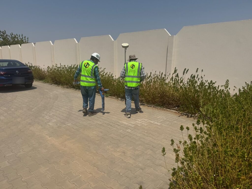
- Relies more heavily on electromagnetic cable and pipe locating, which is less affected by wet ground for metallic services.
- Recommends trial pits to confirm critical services and depths.
Industrial plants and oil and gas facilities
Plants in Jubail, Ras Tanura, Abqaiq and other industrial areas add their own challenges: congested pipe corridors, cathodic protection systems, steel structures and concrete pads. These can interfere with both radar and cable locators. EarthScape plans these surveys closely with the plant team, works under the site permit-to-work system and combines several methods to build a reliable picture.
Desert and greenfield sites
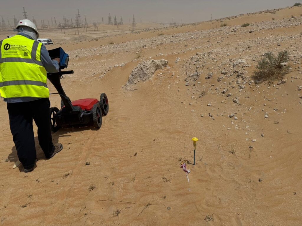
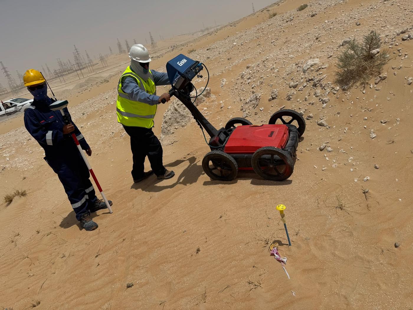
Inland desert sites often give the best GPR results, with dry sand allowing deep penetration. Here GPR is useful not only for utilities but also for mapping shallow layers, the top of rock and buried features before earthworks start.
What this means for your project
- Expect deeper detection in dry inland areas and shallower detection on wet coastal sites.
- Ask your survey provider to state the depth achieved, not just the antenna used.
- Plan for cable locating and trial pits where ground conditions limit radar.
- Use a provider who knows local conditions and calibrates on site.
EarthScape’s contribution
EarthScape Technologies works across the Central and Eastern Provinces from offices in Riyadh and Al Khobar. We bring local knowledge of ground conditions to every GPR survey in Saudi Arabia we carry out:
- A GSSI 350 MHz HyperStacking GPR, chosen for its depth performance in difficult soils, plus higher-frequency antennas for concrete.
- On-site velocity calibration and an honest statement of the depth achieved on every project.
- Radiodetection cable locators and Trimble RTK-GNSS positioning on every utility survey.
- Verification by trial pits where the ground or the risk requires it.
- Safe working under client permits, backed by ISO 9001, ISO 14001 and ISO 45001 certification, and registration as a Saudi Aramco supplier (Vendor Code 10118447).
Read our step-by-step guide to what a GPR survey is, or see what affects GPR survey cost.
Frequently asked questions
Does GPR work in Riyadh?
Yes. Much of Riyadh has dry sand, gravel and limestone, which let radar signals travel well. Depths of 2 to 4 metres with a 350–400 MHz antenna are common, and deeper in very dry ground. Fill, rubble and buried concrete can add clutter, which experienced interpretation handles.
Why is GPR harder in Dammam, Al Khobar and Jubail?
Coastal areas of the Eastern Province often have a shallow, saline water table and sabkha soils. Salt water conducts electricity and absorbs radar energy, so depth can drop to a metre or less. Surveys there need on-site calibration and support from electromagnetic cable location.
Can EarthScape survey in both regions?
Yes. EarthScape has a head office in Riyadh and an operations office in Al Khobar, so we work in the Central and Eastern Provinces and mobilise to other regions as projects require.
Planning a GPR survey in Riyadh or the Eastern Province?
Send us the site location and what you need to find through our Get a Quote page. We will tell you what results to expect on your ground before work starts.