Every civil design in Saudi Arabia, from a villa compound to a refinery expansion, is drawn on top of a topographic survey. If the levels are wrong, the drainage will not work, earthworks quantities will be off and new structures will clash with what is already there. This article explains how a professional topographic survey is controlled, measured and delivered for Saudi projects, the standards that apply, and the role EarthScape plays. For a general introduction, see our topographic survey guide.
Why accuracy matters for Saudi projects
- Flat desert sites leave little margin for error in drainage and grading design; a few centimetres can change the direction of flow.
- Brownfield and industrial sites are crowded with pipe racks, foundations, tanks and buried services that new works must avoid.
- Long corridors for roads, pipelines and power lines need consistent coordinates over many kilometres.
- Client standards such as Saudi Aramco SAES-A-100 set clear requirements for control, accuracy and deliverables.
Step 1: Control first
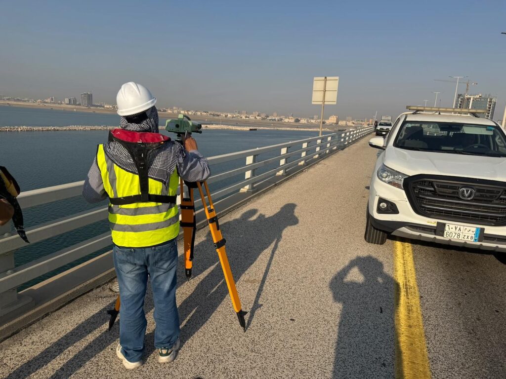
A topographic survey is only as good as its control. EarthScape establishes or uses existing control points and bench marks, observes them with static or RTK-GNSS and closes level loops with digital levels where the specification requires. All work is tied to the client’s coordinate system, typically the Saudi national datum (KSA-GRF17) or a plant grid, so that our survey fits with existing drawings and future setting out.
Step 2: Detail survey
Our surveyors pick up ground levels on a regular grid and at every change in slope, along with all surface features: roads, kerbs, fences, buildings, structures, manholes, valve chambers, poles, trees and utility markers. RTK-GNSS is used in open areas, and robotic total stations are used near buildings, tanks and pipe racks where satellite signals are blocked.
Step 3: Adding drone and laser data where it helps
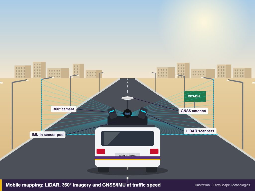
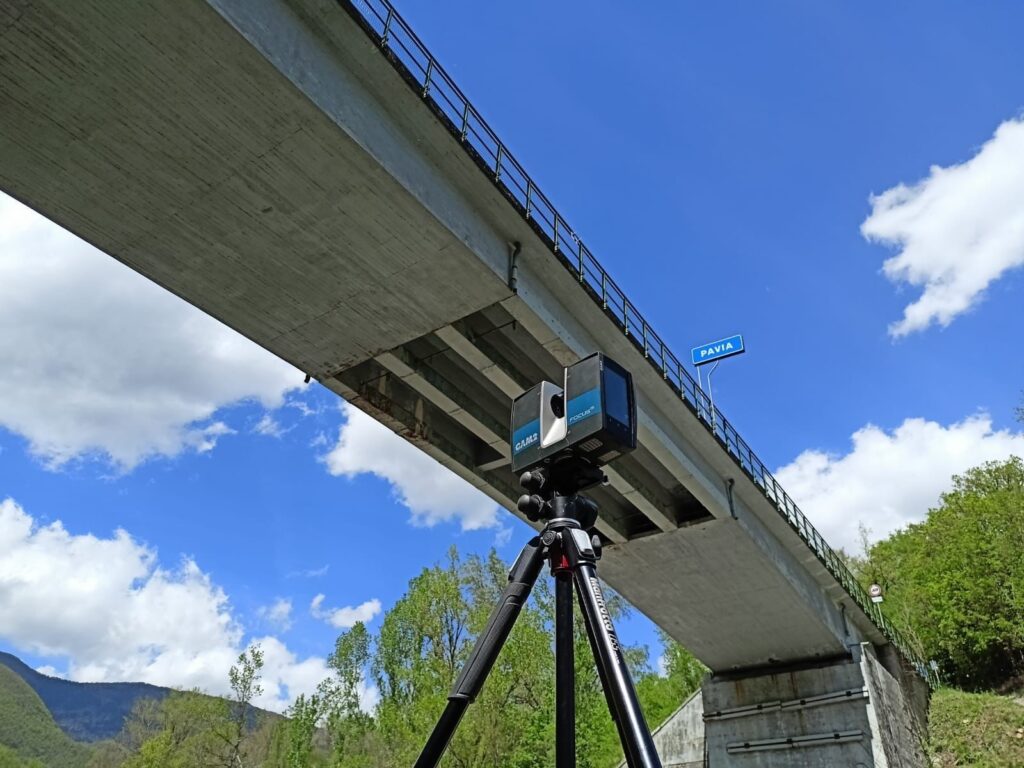
For large or hard-to-reach areas, drone photogrammetry captures a dense surface model quickly, and 3D laser scanning records complex structures and plant in full detail. These are checked against ground control so that every dataset agrees.
Step 4: Underground information
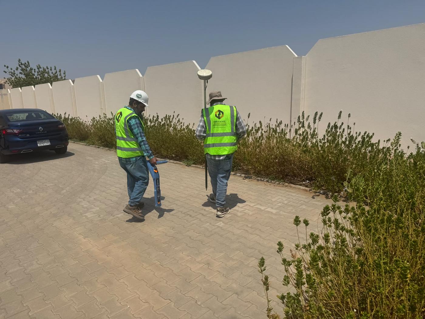
Many design problems come from what is below the surface. When needed, we combine the topographic survey with a GPR and utility survey, so the design team receives surface and buried features on one drawing.
Step 5: Processing and quality checks
Field data is processed in Trimble Business Center and AutoCAD Civil 3D. We check control closures, compare overlapping observations, build the digital terrain model, generate contours and review the drawing against site photos and field notes before issue.
Step 6: Deliverables
- Topographic drawings at the agreed scale, commonly 1:500 or 1:1000, in AutoCAD or Civil 3D.
- Digital terrain model, contours and spot levels.
- Point files and coordinate lists.
- Control station descriptions and a survey report stating methods, equipment and achieved accuracy.
Our article How to Read a Topographic Survey Drawing explains what to check when you receive them.
EarthScape’s role in topographic surveys
EarthScape Technologies provides complete topographic survey services across Saudi Arabia for consultants, contractors and owners. Our role includes:
- Survey planning to the project specification, including Saudi Aramco SAES-A-100 requirements.
- Field teams with Trimble RTK-GNSS, robotic total stations and digital levels, plus drone and laser scanning when the site calls for it.
- Safe work under client permit systems on live plants and roads, supported by ISO 9001, ISO 14001 and ISO 45001 certification.
- In-house processing, drafting and quality checking, so the same team is accountable from field to final drawing.
- Follow-on services such as setting out and as-built surveys during construction.
We are a registered Saudi Aramco supplier (Vendor Code 10118447), with offices in Riyadh and Al Khobar. Learn more about our topographic survey in Saudi Arabia service.
Frequently asked questions
What accuracy can a topographic survey achieve?
With RTK-GNSS and total stations tied to a proper control network, detail points are typically measured to centimetre level. The exact tolerances depend on the project specification, and EarthScape states the achieved accuracy and control used in every report.
Which coordinate system do you use?
We work in the coordinate system the client specifies, commonly the Saudi national datum (KSA-GRF17) or a project or plant grid, with heights tied to the client’s bench marks or the national vertical datum.
Can a drone replace a ground topographic survey?
Drone photogrammetry is fast for large open areas and gives a detailed surface model, but ground survey is still needed for control, hard detail, utilities and areas under structures. EarthScape often combines both.
What do I receive at the end?
Topographic drawings in AutoCAD or Civil 3D, a surface model (DTM) with contours, point files, control station descriptions and a survey report, in the scale and format your design team needs.
Need a topographic survey?
Share the site boundary, the drawing scale and any client specification through our Get a Quote page, and we will send a scope, programme and price.