A ground penetrating radar (GPR) survey is often the last check before an excavator breaks ground. Done well, it prevents cable strikes, pipe damage and project delays. Done badly, it gives a false sense of security. This article explains how a professional GPR survey is carried out in Saudi Arabia, step by step, and what EarthScape does at each stage to make the results reliable. If you are new to the method, start with our guide What Is a GPR Survey?
When projects in the Kingdom need GPR
- Before excavation, trenching, piling or directional drilling near existing services.
- For utility mapping during design of roads, plants, substations and building projects.
- To check for voids and cavities under slabs, roads and foundations.
- Before coring or drilling in concrete, to locate rebar, conduits and post-tension tendons.
- To meet client requirements such as Saudi Aramco excavation procedures and PAS 128 quality levels.
Step 1: Scoping and desk study
We start by agreeing what the survey must find and how accurately. EarthScape reviews available utility records, as-built drawings and site photos, and identifies the services likely to be present. We then set the target depth, the antenna frequency, the line spacing and the quality level the client needs. This step avoids paying for a survey that answers the wrong question.
Step 2: Site walkover and safety set-up
Our team inspects the site, records visible features such as manholes, valve chambers, poles and markers, and checks ground conditions and access. All work follows the client’s permit-to-work system, with a site-specific risk assessment and a daily toolbox talk. On live roads we agree traffic management in advance.
Step 3: Radar scanning
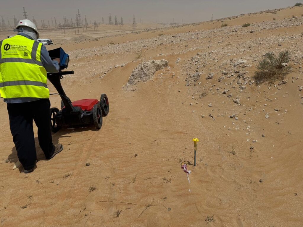
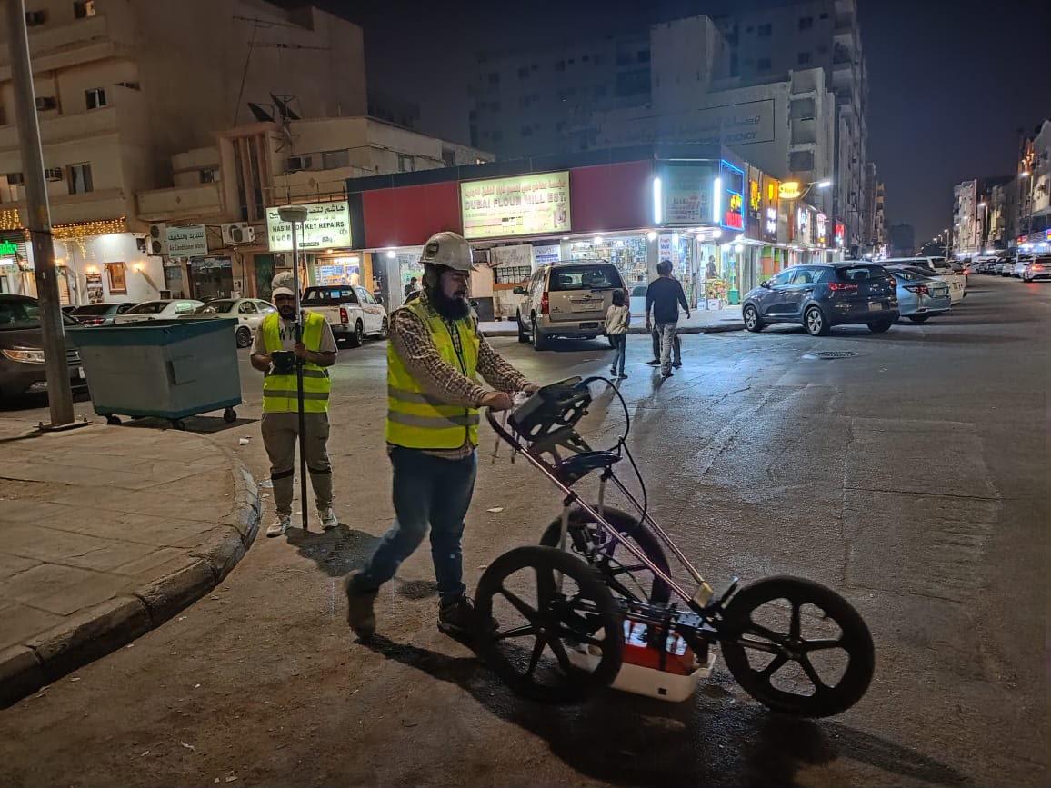
We scan on a planned grid of parallel lines and cross lines so that services are crossed at a good angle. EarthScape uses a GSSI 350 MHz HyperStacking GPR, which gives a strong balance of depth and resolution in Saudi soils, and we calibrate wave speed on site so depths are measured, not guessed. Concrete scanning uses higher-frequency antennas for fine detail.
Step 4: Electromagnetic cable and pipe location
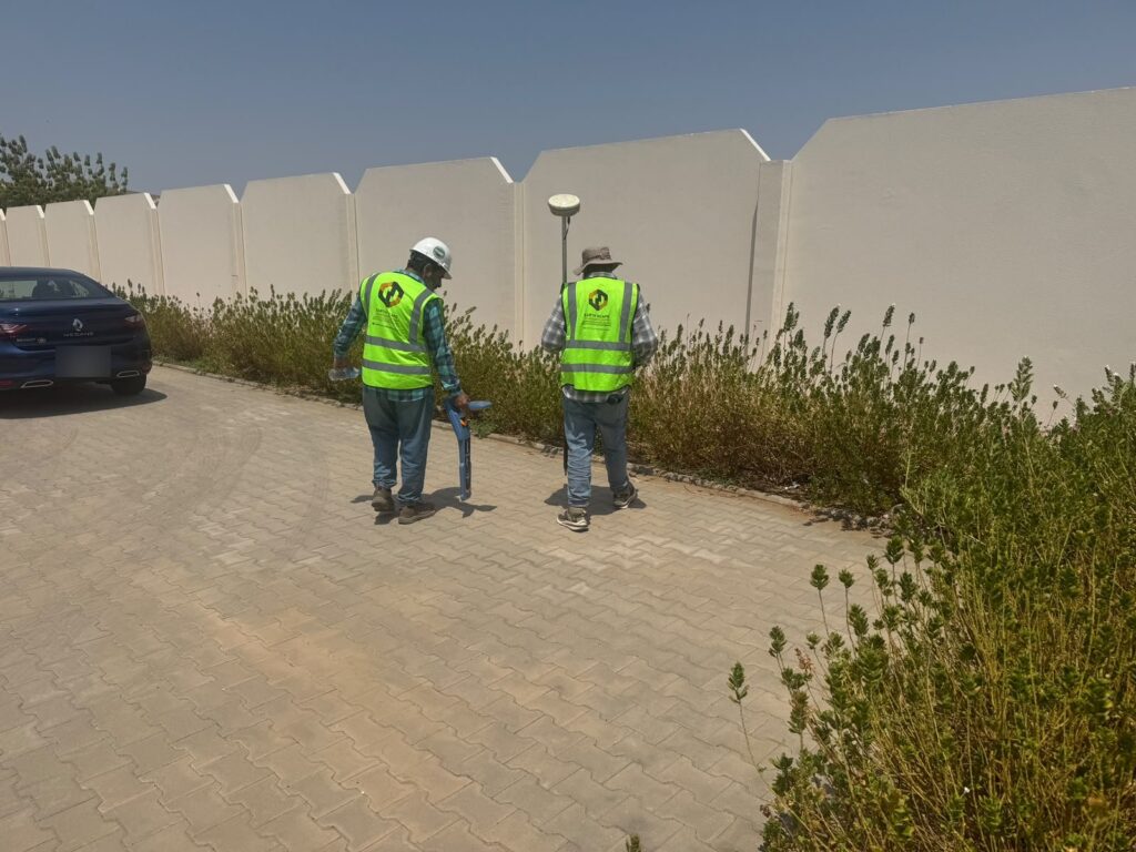
GPR is combined with radio-detection cable and pipe locating. The locator traces live power cables and metallic pipes over long distances, while GPR finds non-metallic services and anything the locator misses. Using both methods catches far more than either one alone.
Step 5: Positioning and marking
Every detected service is positioned with RTK-GNSS or a total station in the project coordinate system. Where required, we mark services on the ground with spray paint or pegs so that the excavation crew can see them.
Step 6: Processing, interpretation and verification
Our analysts process the radar data, interpret each reflection and correlate it with locator results and visible features. Where certainty is critical, EarthScape recommends and carries out trial pits to expose the service and confirm its type, size and depth.
Step 7: Deliverables
The client receives a CAD drawing (GIS on request) showing each utility with its type, approximate depth and quality level, together with a report covering the methodology, the depth achieved, any areas that could not be surveyed and our recommendations. Deliverables are written so a design engineer or site supervisor can use them directly.
Limits you should know about
GPR is powerful but not perfect. Wet, saline or clay-rich soils, such as coastal sabkha, can reduce depth sharply. Closely stacked services, reinforced concrete and very small pipes can hide each other. A good survey report states these limits clearly instead of hiding them, and that is what we do.
EarthScape’s role in GPR surveys
EarthScape Technologies has delivered GPR and utility surveys for contractors, consultants and owners across Saudi Arabia, from city streets to oil and gas facilities. We provide:
- Experienced GPR operators and geophysicists, with our own GSSI radar, Radiodetection locators and Trimble RTK-GNSS.
- Surveys planned to the quality level your project needs, including PAS 128 and Saudi Aramco requirements.
- Safe working under permit-to-work systems, backed by ISO 9001, ISO 14001 and ISO 45001 certification.
- Clear CAD and GIS deliverables with honest statements of what was and was not detected.
- Follow-up trial pits and verification when the risk calls for it.
We are a registered Saudi Aramco supplier (Vendor Code 10118447), with offices in Riyadh and Al Khobar. Learn more on our GPR survey service page and our article on what affects GPR survey cost.
Frequently asked questions
How deep can GPR see?
In dry sand and many desert soils, GPR with a 350–400 MHz antenna typically reaches 2–4 m. Wet, saline or clay-rich ground reduces depth, sometimes to less than a metre. EarthScape calibrates the radar on site on the first day and states the achieved depth in the report.
Can GPR find plastic pipes?
Yes, GPR can detect non-metallic pipes such as PVC, HDPE and concrete, which cable locators cannot. Small plastic pipes in wet or saline ground are harder to see, which is why we confirm critical services with trial pits.
How long does a GPR survey take?
It depends on the area, the line spacing and site access. A typical building plot or junction can often be scanned in a day, while large plant areas and corridors take longer. We give a programme with our proposal.
What do I receive at the end?
A utility drawing in CAD (and GIS on request) showing each detected service with its type, approximate depth and quality level, plus a report with methodology, limitations and recommendations for verification.
Need a GPR survey?
Send us the site location, survey area and what you need to find through our Get a Quote page, and we will propose the right scope and programme.