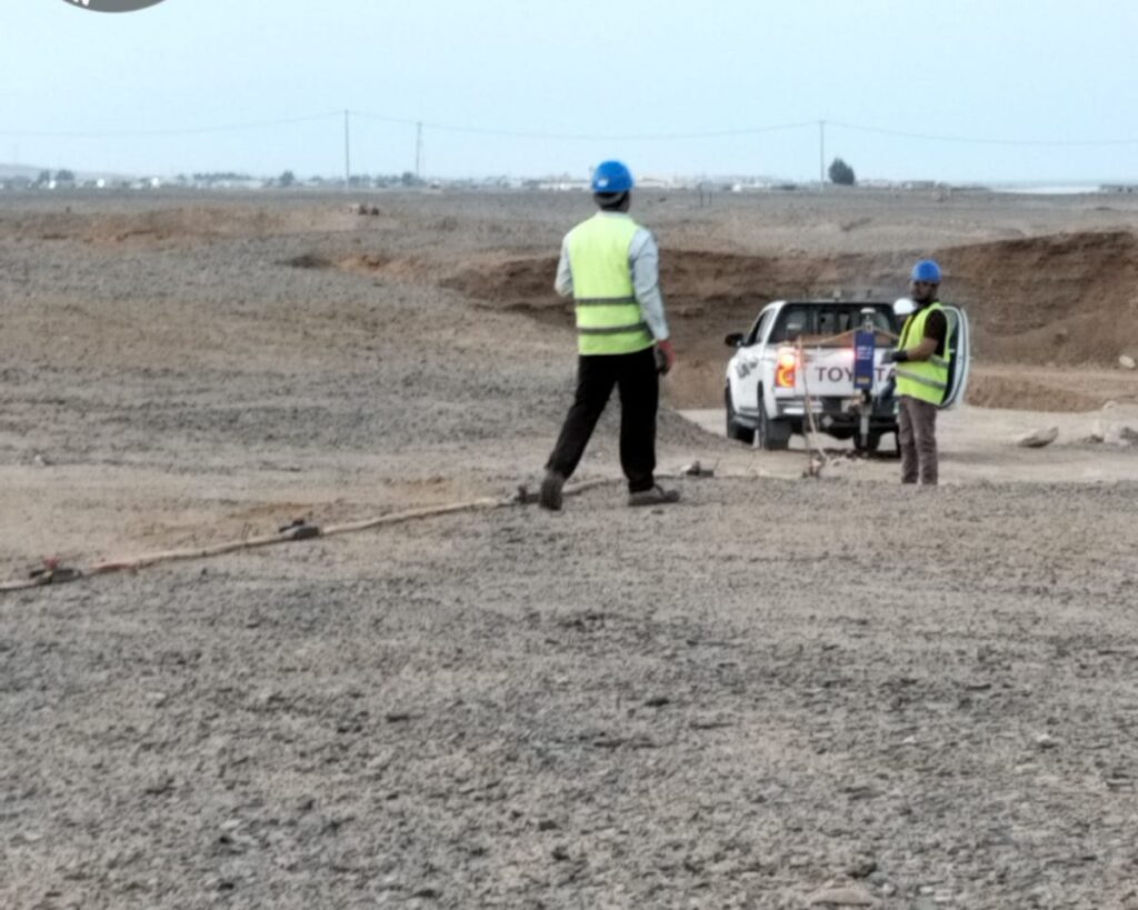
Every project in Saudi Arabia starts in the ground. Before a foundation is designed, a pipeline is routed or a trench is dug, someone has to answer simple questions that are hard to check: How hard is the rock? Is there a cavity under the slab? Where are the buried cables? Geophysical surveys answer these questions from the surface, quickly and without digging. This guide explains the main methods used in the Kingdom, how to choose between them,, what each one is good for, and the role EarthScape plays from planning to final report.
What a geophysical survey is
A geophysical survey measures a physical property of the ground, such as how it carries electricity, how fast sound travels through it, how it reflects radar or how it changes the Earth’s magnetic or gravity field. Changes in that property show changes underground: a different soil layer, a void, a buried pipe or the top of rock. Because the measurements are taken from the surface, large areas can be covered in days, and the results guide where boreholes and trial pits should go.
Why geophysics matters in Saudi Arabia
- Karst and cavities. Limestone in the Eastern Province, Riyadh and other regions can contain solution cavities and sinkholes that boreholes easily miss.
- Dense, ageing utilities. Cities and industrial plants have layers of cables and pipes, many of them poorly recorded.
- Large greenfield sites. Giga-projects, new industrial zones and long road and pipeline corridors need ground information over kilometres, not just at a few drill points.
- Rock excavation. Knowing whether rock can be ripped or must be blasted changes cost and programme.
- Earthing and corrosion. Substations, plants and pipelines need soil resistivity data for earthing and cathodic protection design.
The main methods and what they find
Ground Penetrating Radar (GPR)
GPR sends radar pulses into the ground and records reflections from pipes, cables, voids, rebar and layer boundaries. It gives the highest detail in the top few metres and is the first choice for utility mapping, void detection and concrete scanning.
Electrical Resistivity Tomography (ERT)
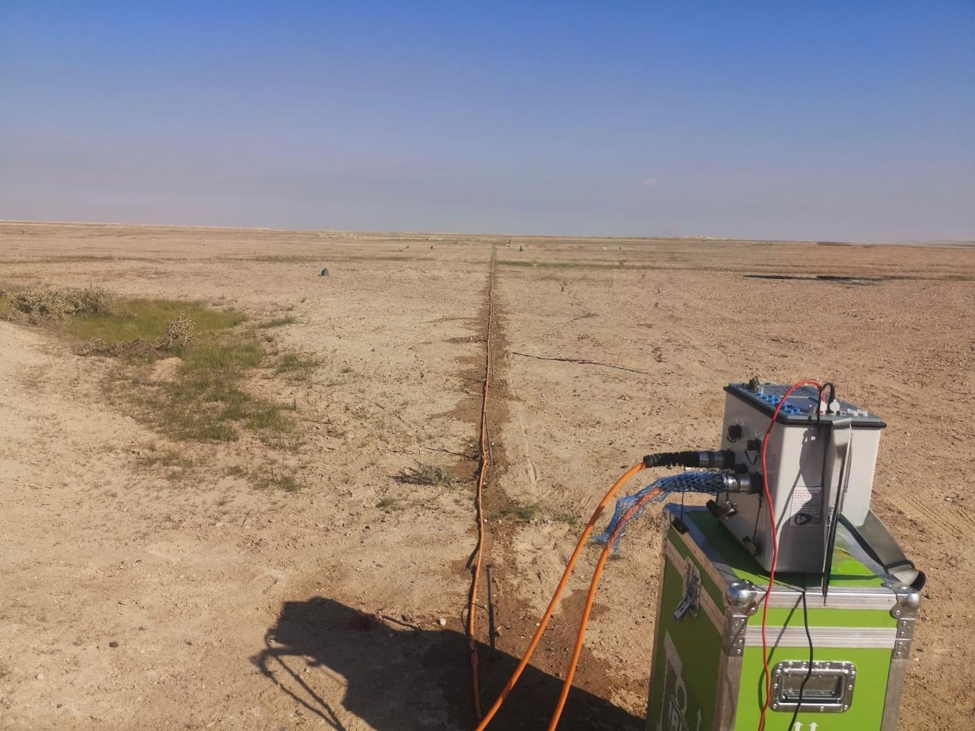
ERT builds a 2D or 3D image of how well the ground conducts electricity. It shows cavities, clay and sand layers, groundwater and the top of rock, typically to depths of tens of metres. See our ERT survey service and our ERT guide.
MASW and seismic refraction
Seismic methods measure how fast waves travel through the ground. MASW gives shear-wave velocity and Vs30 for seismic site class and foundation design, while seismic refraction maps the depth and hardness of rock for excavation planning.
Magnetic and microgravity surveys
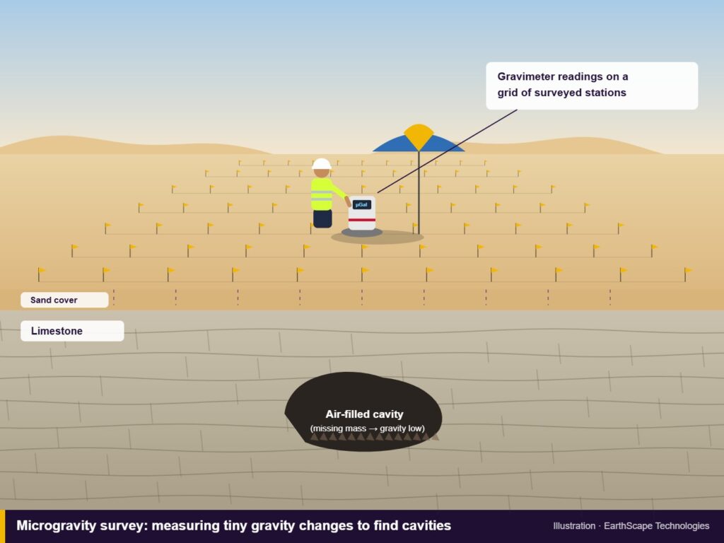
Magnetic surveys find buried metal, tanks, old pipelines and archaeological features. Microgravity surveys detect the small loss of mass caused by voids and cavities, and are useful where other methods are limited by noise or depth.
Soil resistivity testing
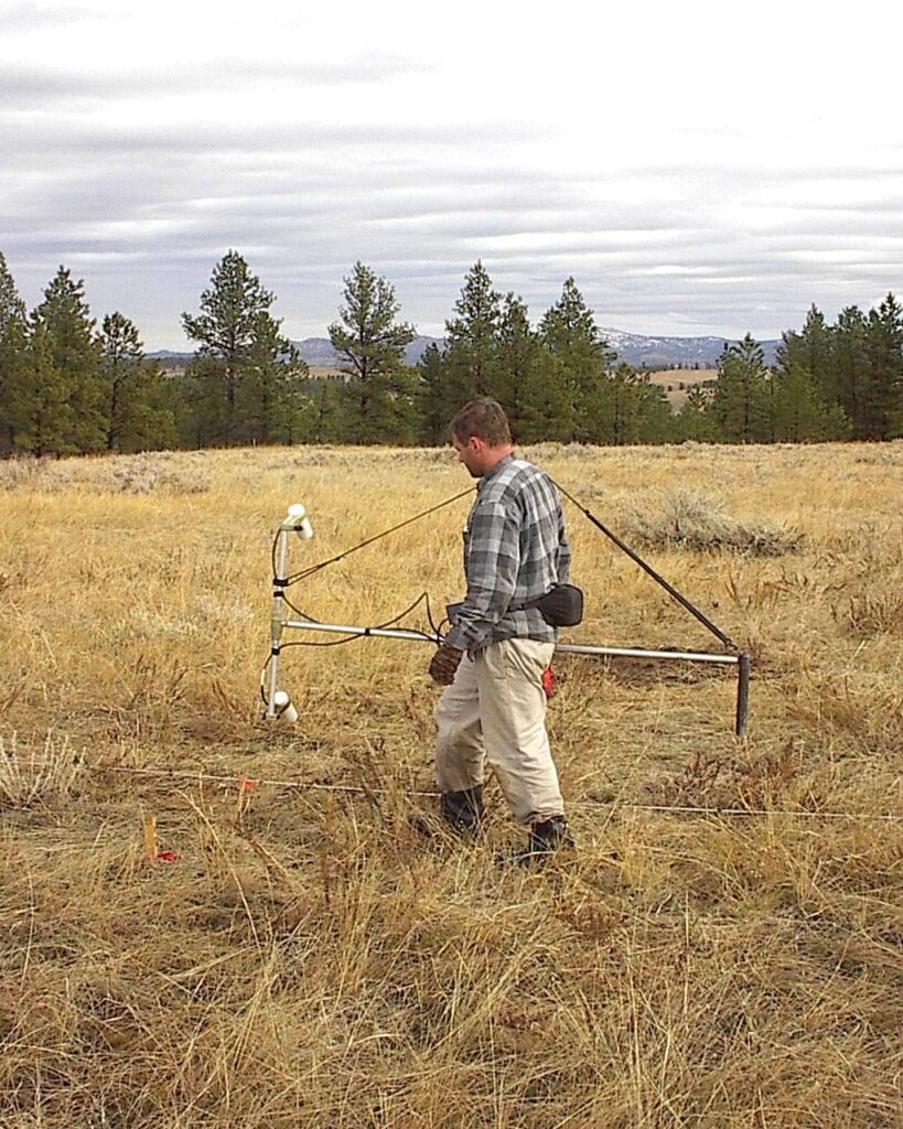
The Wenner four-pin method measures apparent soil resistivity at several spacings for earthing system and cathodic protection design.
Choosing the right method
No single method answers every question, so the choice starts with what the client needs to know:
- Where are the buried services? GPR plus electromagnetic cable location, confirmed with trial pits.
- Is there a cavity under the site? ERT and microgravity, with GPR for shallow voids.
- How stiff is the ground for foundations? MASW, calibrated against borehole data.
- Can the rock be ripped? Seismic refraction.
- What resistivity should the earthing design use? Wenner soil resistivity testing, with ERT for layered ground.
Combining two methods often gives a much more reliable answer than one method alone, because each has different strengths and blind spots.
EarthScape’s role in geophysical surveys
For an overview of our services, see our main page on geophysical survey in Saudi Arabia. EarthScape Technologies for Survey and Geological Exploration is a Saudi geophysical and survey company with its head office in Riyadh and an operations office in Al Khobar. Our role covers the whole job, not only the fieldwork:
- Survey design. We review drawings, borehole logs and site conditions, then recommend the method, line layout, depth and resolution needed to answer the project question.
- Fieldwork with our own equipment. Our geophysicists and surveyors operate GPR, resistivity, seismic, magnetic and gravity equipment, positioned with RTK-GNSS and total stations so every result is tied to project coordinates.
- Safety and permits. We work under client permit-to-work systems, with site-specific risk assessments and daily toolbox talks. Our management system is certified to ISO 9001, ISO 14001 and ISO 45001.
- Processing and interpretation. Data is processed in-house and interpreted by experienced geophysicists, cross-checked against boreholes and trial pits where available.
- Clear deliverables. Reports, sections and CAD/GIS drawings written for engineers, with plain-language conclusions and recommendations for any follow-up investigation.
We work for contractors, consultants and owners in oil and gas, utilities, infrastructure, industry and construction, and we are a registered Saudi Aramco supplier (Vendor Code 10118447).
Frequently asked questions
Which geophysical survey do I need for my site?
It depends on the question you need answered. GPR suits shallow utilities and voids, ERT suits cavities, groundwater and earthing design, MASW and seismic refraction suit ground stiffness and rippability, and magnetic and microgravity surveys suit buried metal and deeper voids. EarthScape reviews the site and the project question first, then recommends one method or a combination.
Can a geophysical survey replace boreholes?
No. Geophysics shows how the ground changes between and beyond boreholes, so fewer boreholes are needed and they can be placed where they matter most. The two work best together.
How quickly can EarthScape mobilise?
With offices in Riyadh and Al Khobar, we mobilise as soon as the scope, permits and site access are confirmed. Timing for remote sites depends mainly on access and permit approvals.
Do you work on Saudi Aramco and other industrial sites?
Yes. EarthScape is a registered Saudi Aramco supplier (Vendor Code 10118447) and works under client permit-to-work systems with site-specific risk assessments.
Planning a geophysical survey?
Tell us what you need to know about the ground, and we will recommend the right method. Browse our survey services or send the site location and scope through our Get a Quote page.