
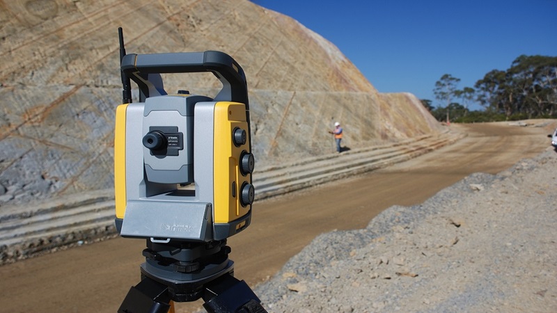
How to Read a Topographic Survey Drawing (and What to Check Before You Design)
Spot levels, contours, symbols, control points and coordinate systems explained, plus the checks to do on a topographic survey drawing before design starts.
Spot levels, contours, symbols, control points and coordinate systems explained, plus the checks to do on a topographic survey drawing before design starts.
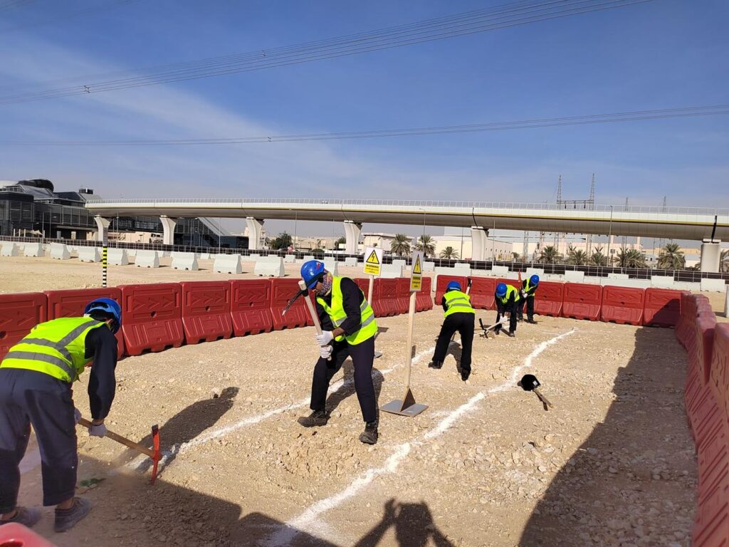
How trial pits are planned, hand-dug and recorded to verify buried utilities on Saudi projects, what a good trial pit record should contain, and where pits give the most value.
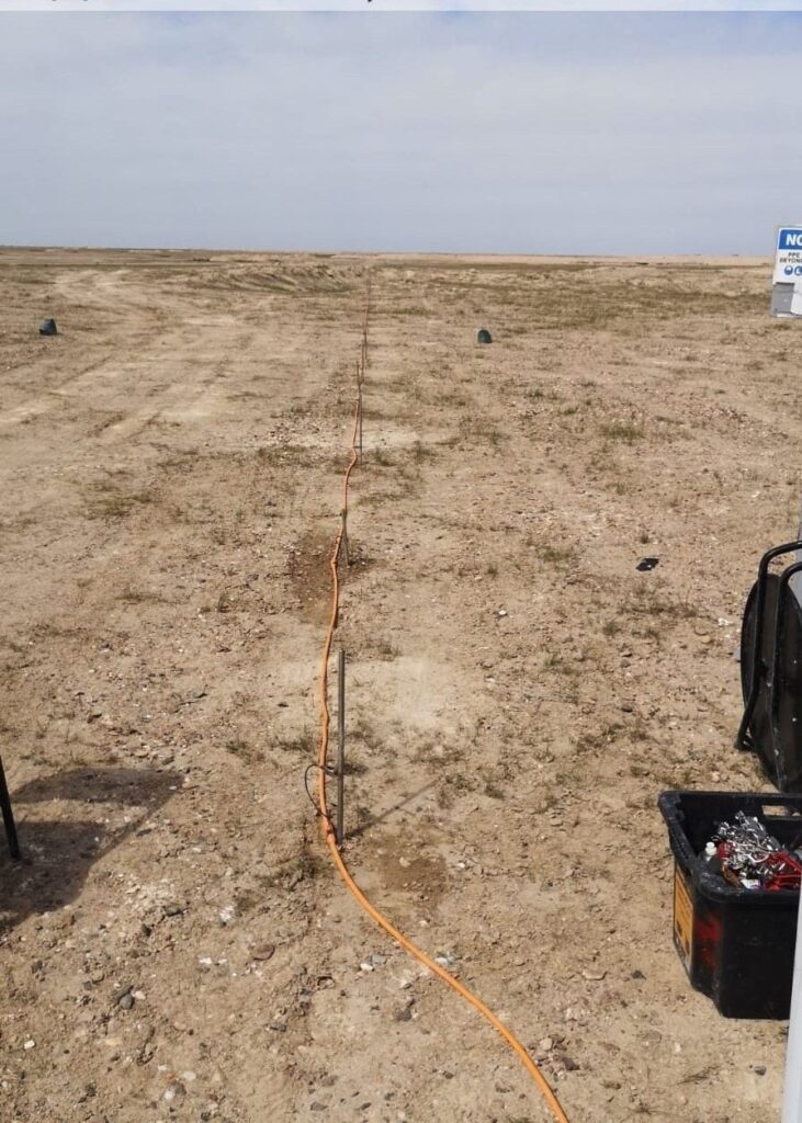
A plain guide to electrical resistivity tomography: how ERT works, how deep it sees, where it helps in Saudi Arabia (cavities, groundwater, bedrock) and its limits.
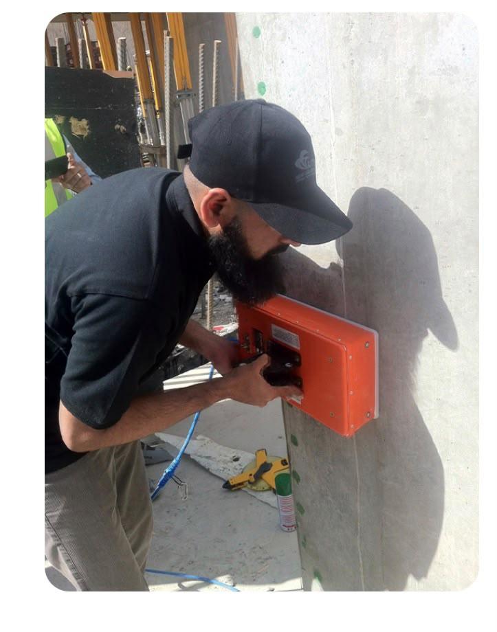
Why GPR concrete scanning is done before coring, cutting or drilling, what it can find (rebar, post-tension tendons, conduits, voids), how it is marked out, and its limits.
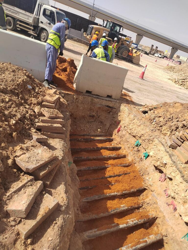
GPR and trial pits are often seen as alternatives, but they answer different questions. Learn what each one tells you, where each falls short, and how to combine them on Saudi projects.
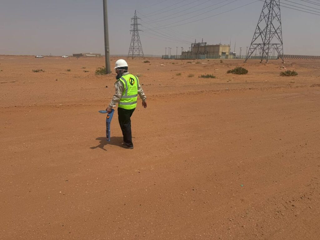
How electromagnetic cable and pipe locators like the RD8200 work, passive vs active modes, what they can and cannot find, and why they are combined with GPR and trial pits on Saudi sites.
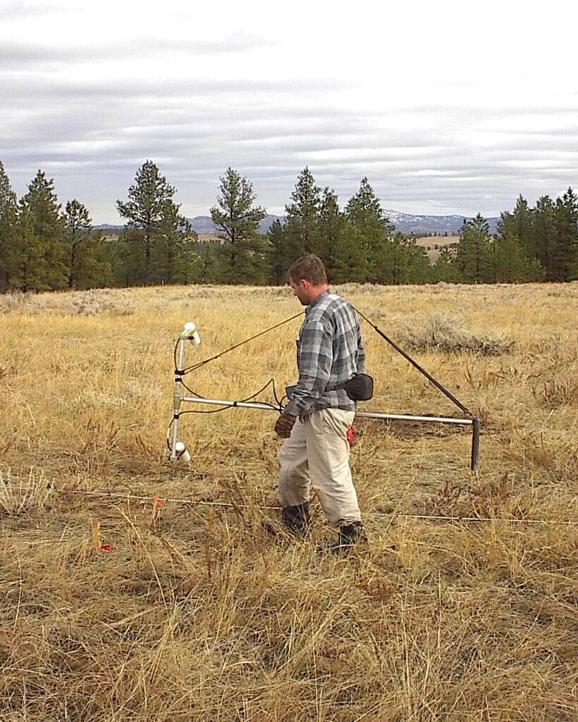
How a ground magnetic survey works, what a magnetometer can detect (buried steel, tanks, drums, old foundations, geological features), field practice in Saudi Arabia, and its limits.
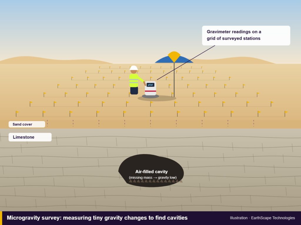
How a microgravity survey detects underground cavities, voids and weak zones by measuring tiny changes in gravity, when to use it in Saudi Arabia, and how it compares with ERT, MASW and GPR.
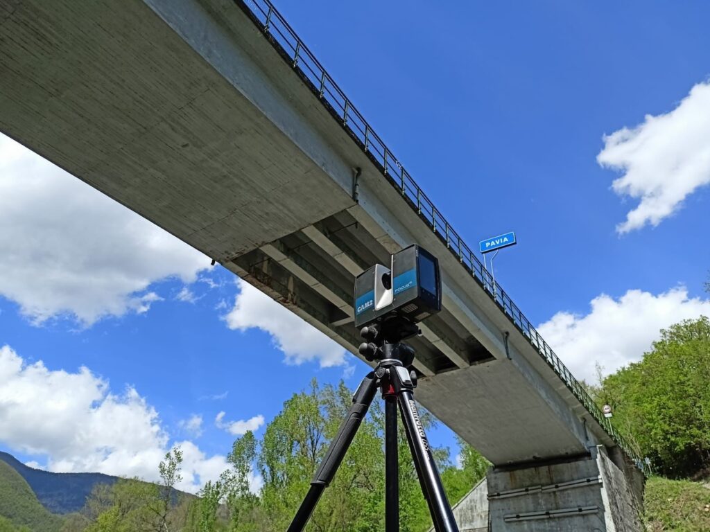
What 3D laser scanning is, how a scan survey is carried out, what you can do with a point cloud (as-built drawings, Scan-to-BIM, clash checks, deformation) and how to plan a scanning job in Saudi Arabia.
Downloads
Company documents & registrations